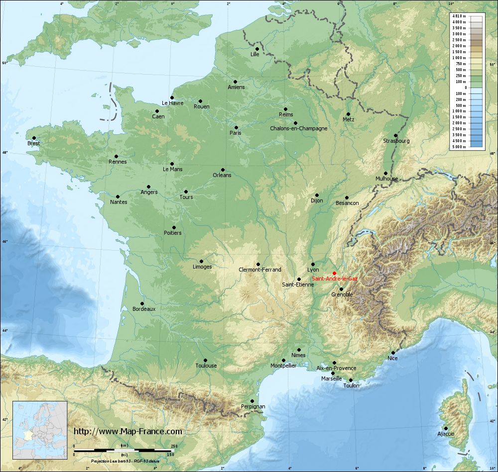
Saint-André-le-Gaz on the relief France map in Lambert 93 coordinates
|
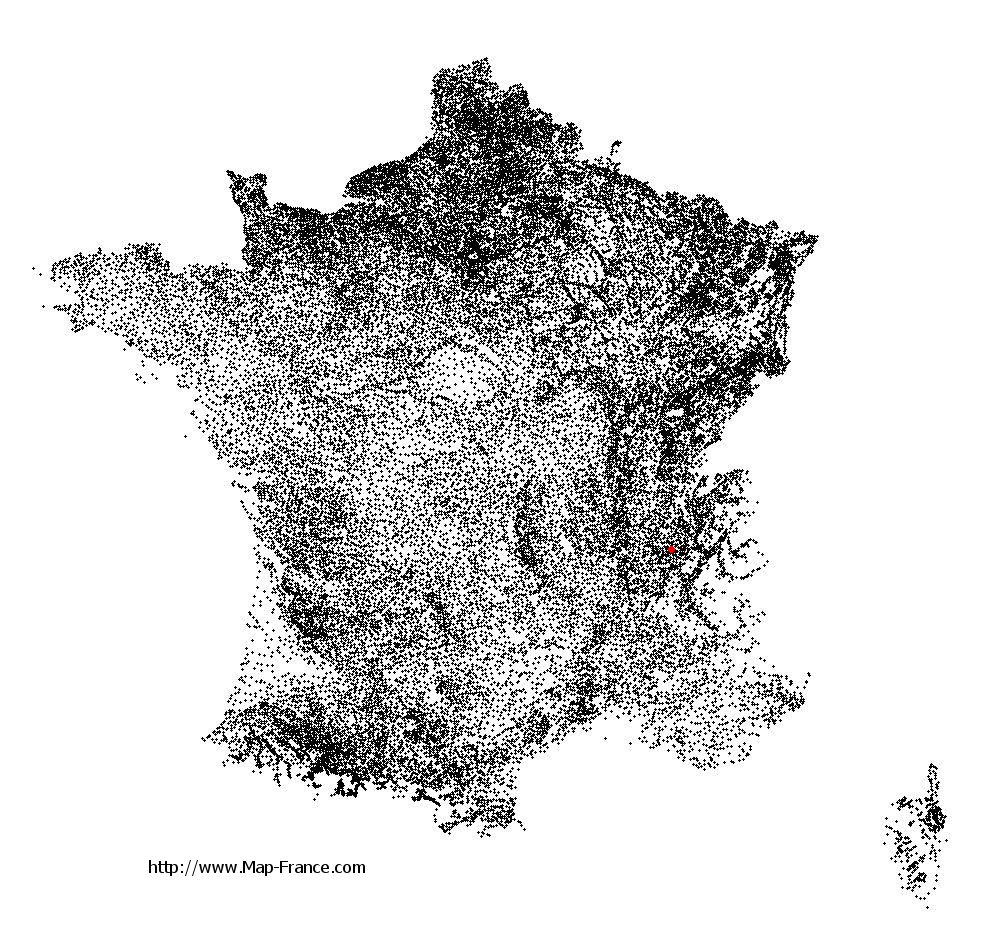
See the map of Saint-André-le-Gaz in full screen (1000 x 949)
|
At left, here is the location of Saint-André-le-Gaz on the relief France map in Lambert 93 coordinates.
Here are the altitudes of Saint-André-le-Gaz :
- Town hall altitude of Saint-André-le-Gaz is 400 meters
- Minimum altitude of Saint-André-le-Gaz is 356 meters
- Maximum altitude of Saint-André-le-Gaz is 488 meters
- Medium altitude of Saint-André-le-Gaz is 422 meters
Here are the altitudes of Grenoble, prefecture of Isère department:
- Town hall altitude of Grenoble is 212 meters
- Minimum altitude of Grenoble is 204 meters
- Maximum altitude of Grenoble is 600 meters
- Medium altitude of Grenoble is 402 meters
Here are the altitudes of the french biggest cities:
Paris : 33 meters
Marseille : 20 meters
Lyon : 237 meters
Toulouse : 146 meters
Nice : 10 meters
Nantes : 20 meters
Strasbourg : 144 meters
Montpellier : 35 meters
Bordeaux : 16 meters
Lille : 20 meters
Rennes : 35 meters
Reims : 83 meters
Click here for the terrain map of Saint-André-le-Gaz in full screen:
Relief map of Saint-André-le-Gaz
|
This relief map of Saint-André-le-Gaz is reusable and modifiable by making a link to this page of the Map-France.com website or by using the given code :
|
Terrain base map of Saint-André-le-Gaz
|

See the terrain base map of Saint-André-le-Gaz in full screen (1000 x 949)
|
Small relief base map of Saint-André-le-Gaz

|
This base map of Saint-André-le-Gaz is reusable and modifiable by making a link to this page of the Map-France.com website or by using the given code :
|
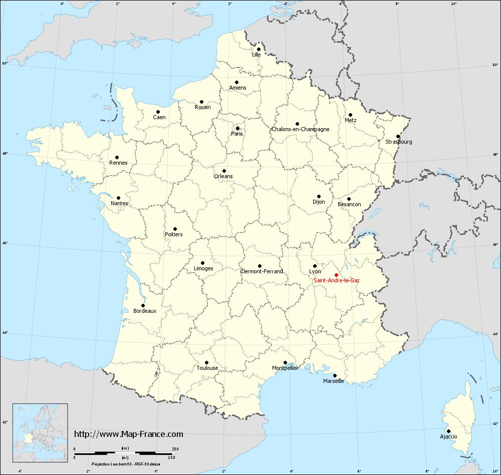
Map of Saint-André-le-Gaz with regions and prefectures
|
View the map of Saint-André-le-Gaz in full screen (1000 x 949)
|
You will find the location of Saint-André-le-Gaz on the map of France of regions in Lambert 93 coordinates. The city of Saint-André-le-Gaz is located in the department of Isère of the french region Rhône-Alpes.
Geographical sexagesimal coordinates / GPS (WGS84):
Latitude: 45° 32' 56'' North
Longitude: 05° 32' 03'' East
Geographical decimal coordinates :
Latitude: 45.549 degrees (45.549° North)
Longitude: 5.535 degrees (5.535° East)
Lambert 93 coordinates :
X: 8 977 hectometers
Y: 64 975 hectometers
Lambert 2 coordinates :
X: 8 497 hectometers
Y: 20 660 hectometers
Below, the geographical coordinates of Grenoble, prefecture of the Isère department:
Geographical sexagesimal coordinates / GPS (WGS84):
Latitude: 45° 11' 13'' North
Longitude: 05° 43' 35'' East
Geographical decimal coordinates :
Latitude: 45.185 degrees (45.185° North)
Longitude: 5.723 degrees (5.723° East)
Lambert 93 coordinates :
X: 9 141 hectometers
Y: 64 579 hectometers
Lambert 2 coordinates :
X: 8 664 hectometers
Y: 20 264 hectometers
|
This map of Saint-André-le-Gaz is reusable and modifiable by making a link to this page of the Map-France.com website or by using the given code :
|
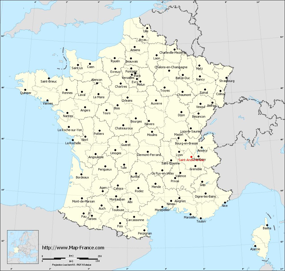
Map of Saint-André-le-Gaz with departments and prefectures
|
Voir la carte of Saint-André-le-Gaz en grand format (1000 x 949)
|
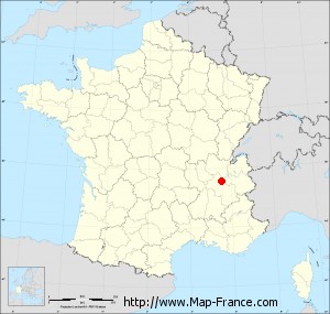
Here is the localization of Saint-André-le-Gaz on the France map of departments in Lambert 93 coordinates. The city of Saint-André-le-Gaz is shown on the map by a red point.
The city of Saint-André-le-Gaz is located in the department of Isère of the french region Rhône-Alpes.
The latitude of Saint-André-le-Gaz is 45.549 degrees North.
The longitude of Saint-André-le-Gaz is 5.535 degrees East.
Here the distance between Saint-André-le-Gaz and the biggest cities of France:
Distances are calculated as the crow flies (orthodromic distance)
Distance between Saint-André-le-Gaz and Paris : 439.59 kilometers
Distance between Saint-André-le-Gaz and Marseille : 250.41 kilometers
Distance between Saint-André-le-Gaz and Lyon : 59.18 kilometers
Distance between Saint-André-le-Gaz and Toulouse : 389.02 kilometers
Distance between Saint-André-le-Gaz and Nice : 246.14 kilometers
Distance between Saint-André-le-Gaz and Nantes : 573.86 kilometers
Distance between Saint-André-le-Gaz and Strasbourg : 376.77 kilometers
Distance between Saint-André-le-Gaz and Montpellier : 252.46 kilometers
Distance between Saint-André-le-Gaz and Bordeaux : 484.63 kilometers
Distance between Saint-André-le-Gaz and Lille : 593.7 kilometers
Distance between Saint-André-le-Gaz and Rennes : 617.41 kilometers
Distance between Saint-André-le-Gaz and Reims : 427.28 kilometers
Clic here to see the map of Saint-André-le-Gaz in full screen:
Saint-André-le-Gaz on the map of french departments
|
This administrative map of Saint-André-le-Gaz is reusable and modifiable by making a link to this page of the Map-France.com website or by using the given code :
|
Administrative base maps of Saint-André-le-Gaz
|

See the administrative base map of Saint-André-le-Gaz in full screen (1000 x 949)
|
Small administrative base map of Saint-André-le-Gaz
|
This base map administrative of Saint-André-le-Gaz is reusable and modifiable by making a link to this page of the Map-France.com website or by using the given code :
|
 French Version : http://www.cartesfrance.fr