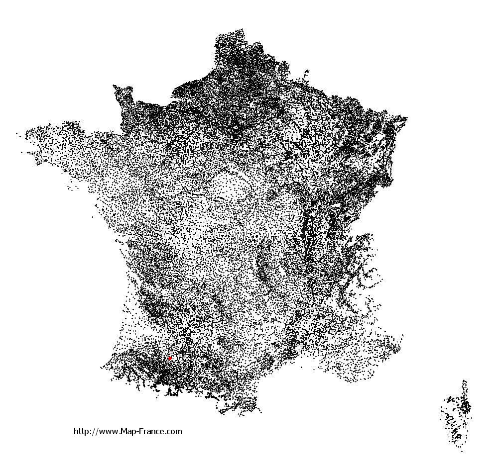
Saint-Arailles on the relief France map in Lambert 93 coordinates
|

See the map of Saint-Arailles in full screen (1000 x 949)
|
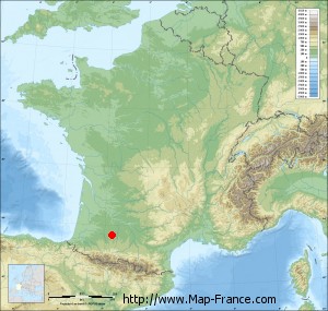
At left, here is the location of Saint-Arailles on the relief France map in Lambert 93 coordinates.
Here are the altitudes of Saint-Arailles :
- Town hall altitude of Saint-Arailles is 150 meters
- Minimum altitude of Saint-Arailles is 136 meters
- Maximum altitude of Saint-Arailles is 236 meters
- Medium altitude of Saint-Arailles is 186 meters
Here are the altitudes of Auch, prefecture of Gers department:
- Town hall altitude of Auch is 134 meters
- Minimum altitude of Auch is 115 meters
- Maximum altitude of Auch is 281 meters
- Medium altitude of Auch is 198 meters
Here are the altitudes of the french biggest cities:
Paris : 33 meters
Marseille : 20 meters
Lyon : 237 meters
Toulouse : 146 meters
Nice : 10 meters
Nantes : 20 meters
Strasbourg : 144 meters
Montpellier : 35 meters
Bordeaux : 16 meters
Lille : 20 meters
Rennes : 35 meters
Reims : 83 meters
Click here for the terrain map of Saint-Arailles in full screen:
Relief map of Saint-Arailles
|
This relief map of Saint-Arailles is reusable and modifiable by making a link to this page of the Map-France.com website or by using the given code :
|
Terrain base map of Saint-Arailles
|

See the terrain base map of Saint-Arailles in full screen (1000 x 949)
|
Small relief base map of Saint-Arailles
|
This base map of Saint-Arailles is reusable and modifiable by making a link to this page of the Map-France.com website or by using the given code :
|
Map of Saint-Arailles with regions and prefectures
|
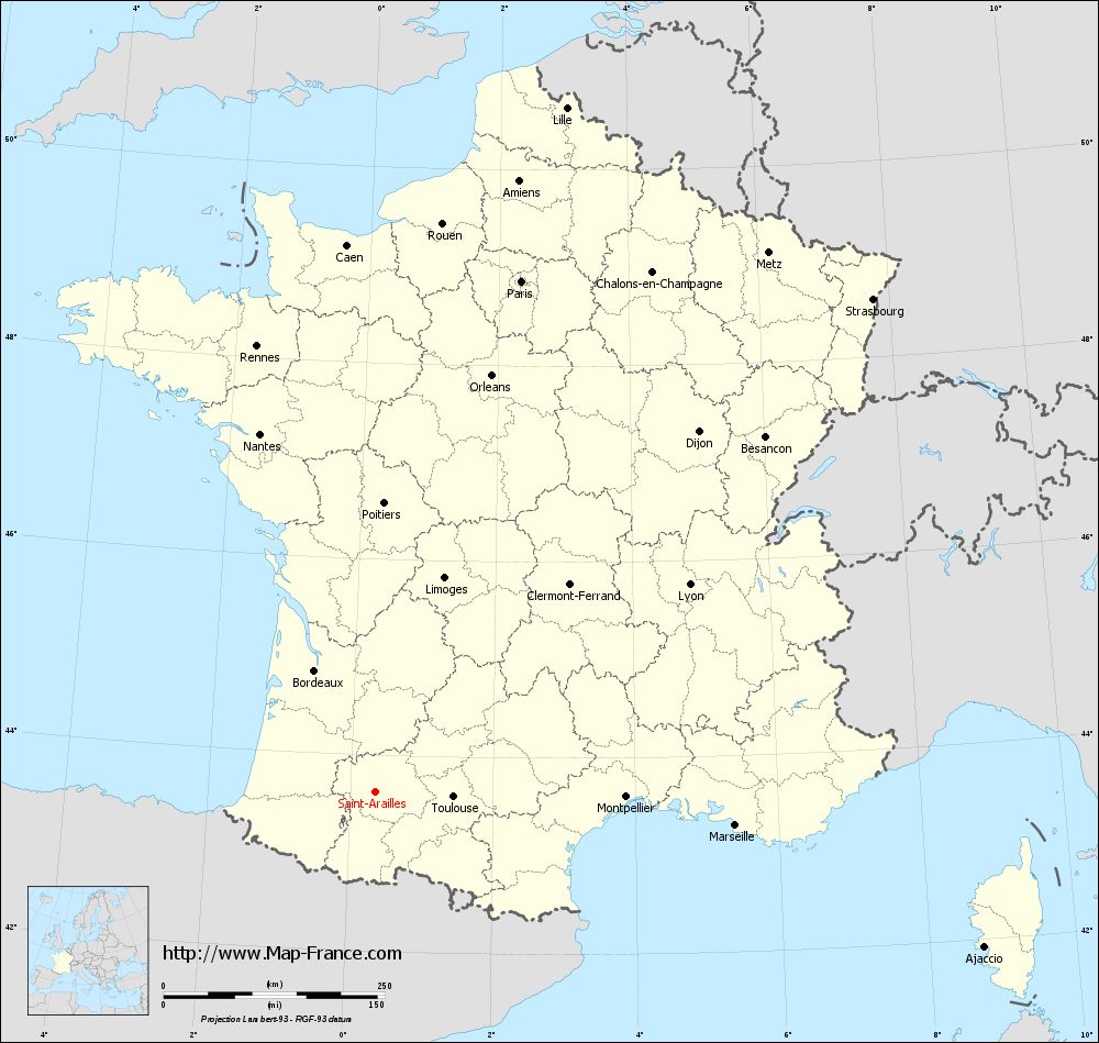
View the map of Saint-Arailles in full screen (1000 x 949)
|
You will find the location of Saint-Arailles on the map of France of regions in Lambert 93 coordinates. The town of Saint-Arailles is located in the department of Gers of the french region Midi-Pyrénées.
Geographical sexagesimal coordinates / GPS (WGS84):
Latitude: 43° 37' 35'' North
Longitude: 00° 21' 27'' East
Geographical decimal coordinates :
Latitude: 43.626 degrees (43.626° North)
Longitude: 0.357 degrees (0.357° East)
Lambert 93 coordinates :
X: 4 867 hectometers
Y: 62 844 hectometers
Lambert 2 coordinates :
X: 4 401 hectometers
Y: 18 492 hectometers
Below, the geographical coordinates of Auch, prefecture of the Gers department:
Geographical sexagesimal coordinates / GPS (WGS84):
Latitude: 43° 38' 43'' North
Longitude: 00° 35' 19'' East
Geographical decimal coordinates :
Latitude: 43.645 degrees (43.645° North)
Longitude: 0.588 degrees (0.588° East)
Lambert 93 coordinates :
X: 5 054 hectometers
Y: 62 859 hectometers
Lambert 2 coordinates :
X: 4 588 hectometers
Y: 18 508 hectometers
|
This map of Saint-Arailles is reusable and modifiable by making a link to this page of the Map-France.com website or by using the given code :
|
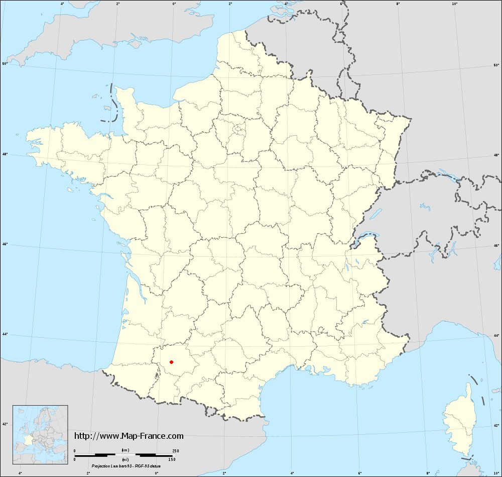
Map of Saint-Arailles with departments and prefectures
|
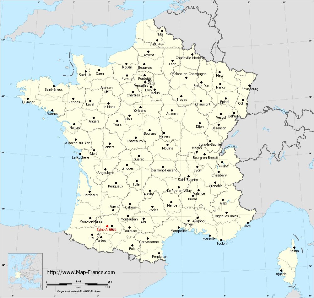
Voir la carte of Saint-Arailles en grand format (1000 x 949)
|
Here is the localization of Saint-Arailles on the France map of departments in Lambert 93 coordinates. The city of Saint-Arailles is shown on the map by a red point.
The town of Saint-Arailles is located in the department of Gers of the french region Midi-Pyrénées.
The latitude of Saint-Arailles is 43.626 degrees North.
The longitude of Saint-Arailles is 0.357 degrees East.
Here the distance between Saint-Arailles and the biggest cities of France:
Distances are calculated as the crow flies (orthodromic distance)
Distance between Saint-Arailles and Paris : 601.29 kilometers
Distance between Saint-Arailles and Marseille : 408.2 kilometers
Distance between Saint-Arailles and Lyon : 425.66 kilometers
Distance between Saint-Arailles and Toulouse : 87.97 kilometers
Distance between Saint-Arailles and Nice : 554.88 kilometers
Distance between Saint-Arailles and Nantes : 426.09 kilometers
Distance between Saint-Arailles and Strasbourg : 791.99 kilometers
Distance between Saint-Arailles and Montpellier : 282.88 kilometers
Distance between Saint-Arailles and Bordeaux : 154.23 kilometers
Distance between Saint-Arailles and Lille : 803.91 kilometers
Distance between Saint-Arailles and Rennes : 522.25 kilometers
Distance between Saint-Arailles and Reims : 685.86 kilometers
Clic here to see the map of Saint-Arailles in full screen:
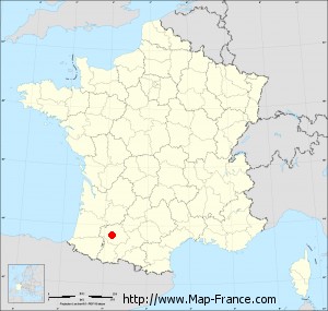
Saint-Arailles on the map of french departments
|
This administrative map of Saint-Arailles is reusable and modifiable by making a link to this page of the Map-France.com website or by using the given code :
|
Administrative base maps of Saint-Arailles
|
See the administrative base map of Saint-Arailles in full screen (1000 x 949)
|
Small administrative base map of Saint-Arailles
|
This base map administrative of Saint-Arailles is reusable and modifiable by making a link to this page of the Map-France.com website or by using the given code :
|
 French Version : http://www.cartesfrance.fr