|
The village of Saint-Benoît is a small village located south east of France. The town of Saint-Benoît is located in the department of Alpes-de-Haute-Provence of the french region Provence-Alpes-Côte d'Azur. The town of Saint-Benoît is located in the township of Annot part of the district of Castellane. The area code for Saint-Benoît is 04174 (also known as code INSEE), and the Saint-Benoît zip code is 04240.
Geography and map of Saint-Benoît :
The altitude of the city hall of Saint-Benoît is approximately 700 meters. The Saint-Benoît surface is 21.03 km ². The latitude and longitude of Saint-Benoît are 43.968 degrees North and 6.724 degrees East.
Nearby cities and towns of Saint-Benoît are :
Braux (04240) at 2.98 km, Castellet-lès-Sausses (04320) at 4.40 km, Annot (04240) at 4.42 km, Sausses (04320) at 6.61 km, Ubraye (04240) at 6.79 km, Entrevaux (04320) at 7.07 km, Le Fugeret (04240) at 7.77 km, Val-de-Chalvagne (04320) at 8.96 km.
(The distances to these nearby towns of Saint-Benoît are calculated as the crow flies)
Population and housing of Saint-Benoît :
The population of Saint-Benoît was 112 in 1999, 122 in 2006 and 125 in 2007. The population density of Saint-Benoît is 5.94 inhabitants per km². The number of housing of Saint-Benoît was 172 in 2007. These homes of Saint-Benoît consist of 57 main residences, 108 second or occasional homes and 6 vacant homes. |
|
|
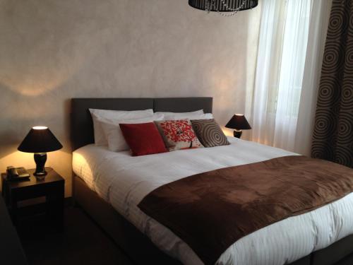
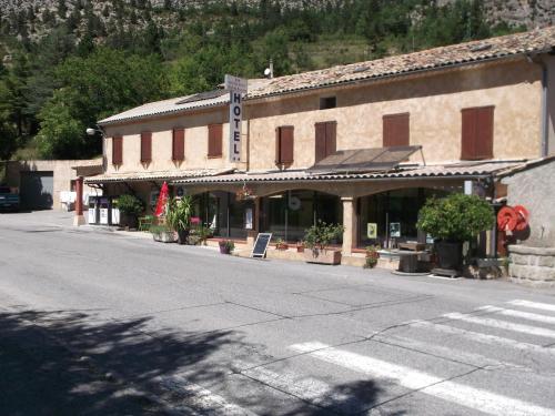
Hotel Saint-Benoît
|
|
|
Book now ! Best Price Guaranteed, no booking fees, pay at the hotel with our partner Booking.com, leader in online hotel reservation.
Find all hotels of Saint-Benoît : Hotel Saint-Benoît
| |
|
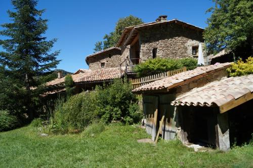
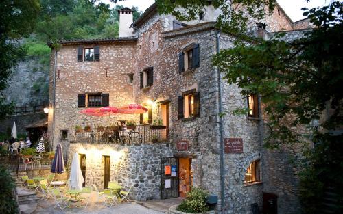
Bed and Breakfast : Le Cloterriou
Located in Braux, Le Cloterriou offers accommodation with free WiFi and access to a garden and a seasonal outdoor pool. Fitted with a terrace, the units feature a flat-screen T...
Rate : from 88.00 €
Address : le coulet 04240 Braux
Distance Bed and Breakfast - Saint-Benoît : 2.92 km
|
|
|
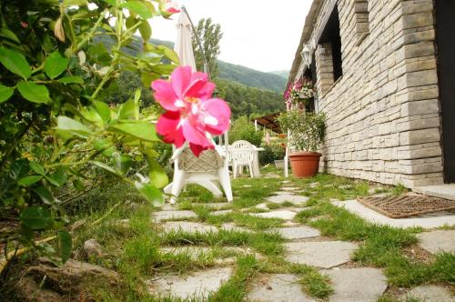
Guest accommodation : Aristochats
Located in Les Scaffarels, Aristochats offers a self-catering studio sitting in a garden with terrace and views of the mountain or the river. Free Wi-Fi and free private parking...
Contact : Les Scaffarels Hameau 04240 Annot
Distance Guest accommodation - Saint-Benoît : 3.51 km
|
|
|
Hotel de l'Avenue is located 200 metres from the Annot Train Station. It offers en suite accommodation, a restaurant and free parking. Hotel de l'Avenue rooms are decorated acc...
Prices : from 70.00 €
to 105.00 €
Contact : Avenue De La Gare 04240 Annot
Distance Hotel - Saint-Benoît : 4.25 km
|
|
|
Hotel : Logis Le Beausejour

Featuring a terrace and a restaurant, Logis Le Beausejour is set in Annot, 32 km from Castellane. This hotel offers a 24-hour front desk and free WiFi. Rooms have a flat-screen ...
Rate : from 42.00 €
to 87.00 €
Contact : Place Du Revelly 04240 Annot
Distance Hotel - Saint-Benoît : 4.50 km
|
|
|
Apartment : Le Pré Martin, village d'hôtes
Offering free WiFi and mountain views, Le Pré Martin, village d'hôtes is an accommodation set in Annot. The accommodation is 42 km from Valberg. The apartment is composed of a ...
Price : from 108.90 €
Address : Route Pré Martin 04240 Annot
Distance Apartment - Saint-Benoît : 4.70 km
|
|
|
Guest accommodation : Gite Loisirs Provence
Located in Annot at an altitude of 700 metres, Gite Loisirs Provence offers self-catering accommodation with a garden and terrace. The Gorges du Verdon and the Verdon Regional P...
Contact : La Ribiere Route Du Fugeret, Annot, fr 04240 Annot
Distance Guest accommodation - Saint-Benoît : 5.23 km
|
|
|
Hotel : Relais du Becassier
Offering a restaurant that serves family cuisine, Relais du Becassier is a hotel located in Annot. This property is a 15-minute drive from the lake of Castillon and a 30-minute ...
Rate : from 70.00 €
Contact : rouaine par annot 04240 Annot
Distance Hotel - Saint-Benoît : 6.23 km
|
|
|
Bed and Breakfast : La Guerite
Located in Sausses, 30 km from the ski resort of Valberg, La Guerite offers bed and breakfast accommodation in a picturesque Provençal house. The property features an outdoor te...
Price : from 85.00 €
to 265.00 €
Contact : Place Saint-Pons 04320 Sausses
Distance Bed and Breakfast - Saint-Benoît : 6.41 km
|
|
|
Guest accommodation : Maison l'ânerie aux Desparouches
Maison l'ânerie aux Desparouches is situated in Ubraye and offers barbecue facilities, a garden and a terrace. Featuring mountain views, this holiday home also provides guests w...
Address : Route de laval 04240 Ubraye
Distance Guest accommodation - Saint-Benoît : 6.93 km
|
|
|
Apartment : Apartment Rue du Couvent
Apartment Rue du Couvent is located in Entrevaux. Free WiFi is available. This apartment comes with a kitchen, a seating area, and a satellite TV. The nearest airport is Nice ...
Contact : 19 Rue du Couvent 04320 Entrevaux
Distance Apartment - Saint-Benoît : 7.22 km
|
|
Find another hotel near Saint-Benoît : Saint-Benoît hotels list
|
Map of Saint-Benoît
|
|
Map of Saint-Benoît :
At right you can find the localization of Saint-Benoît on the map of France. Below, this is the satellite map of Saint-Benoît. A road map, and maps templates of Saint-Benoît are available here : "road map of Saint-Benoît". This map show Saint-Benoît seen by the satellite of Google Map. To see the streets of Saint-Benoît or move on another zone, use the buttons "zoom" and "map" on top of this dynamic map.
Search on the map of Saint-Benoît :
To search hotels, housings, tourist information office, administrations or other services, use the Google search integrated to the map on the following page : "map Saint-Benoît".
Hotels of Saint-Benoît are listed on the map with the following icons: 
The map of Saint-Benoît is centred in the following coordinates :
|

|
|
|
|
Print the map of Saint-Benoît

Print the map of Saint-Benoît : map of Saint-Benoît
|
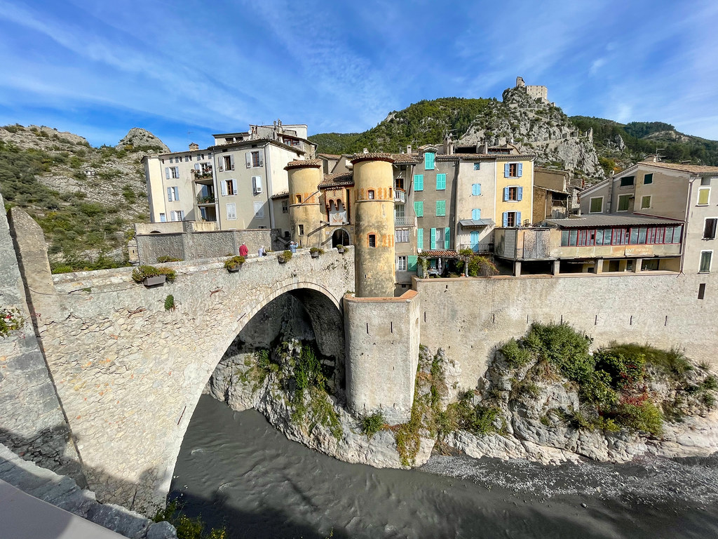
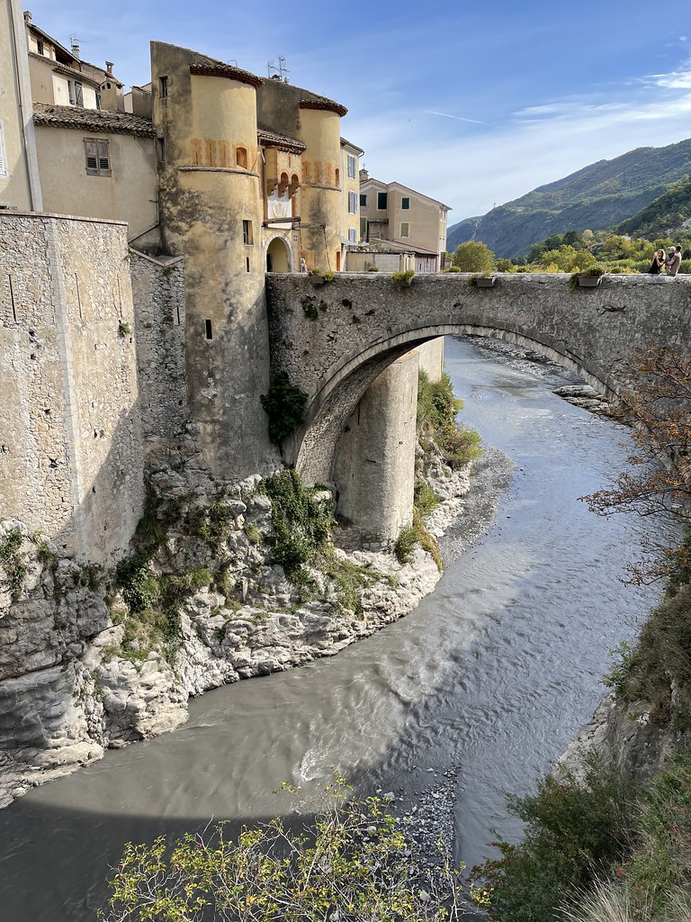
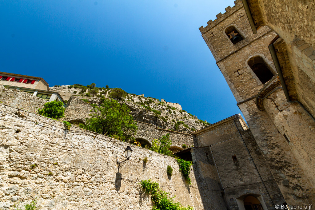
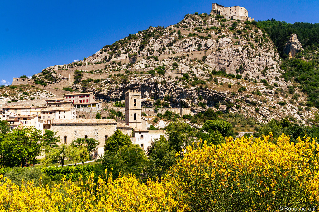
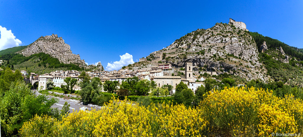
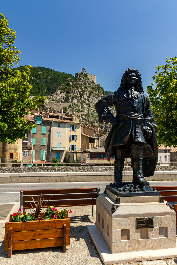
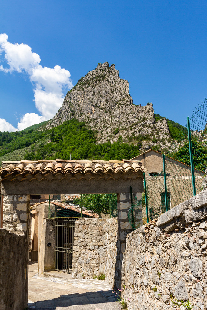
Photos Saint-Benoît
|
See all photos of Saint-Benoît :
Other photos of Saint-Benoît and nearby towns can be found here: photos Saint-Benoît
|
|
Saint-Benoît weather forecast
Find next hours and 7 days weather forecast for Saint-Benoît here : weather Saint-Benoît (with english metrics)
This is the last weather forecast for Saint-Benoît collected by the nearest observation station of Annot.
Week Forecast:
The latest weather data for Saint-Benoît were collected Thursday, 02 July 2026 at 11:01 from the nearest observation station of Annot.
| Thursday, July 2nd |
30°C 12°C
0%
4%
|
Clear
Temperature Max: 30°C Temperature Min: 12°C
Precipitation Probability: 0%
Percentage of sky occluded by clouds: 4%
Wind speed: 6 km/h North-West
Humidity: 31%° UV Index: 10
Sunrise: 05:55 Sunset: 21:19 |
|
| | Friday, July 3rd |
30°C 14°C
0%
24%
|
Mostly clear
Temperature Max: 30°C Temperature Min: 14°C
Precipitation Probability: 0%
Percentage of sky occluded by clouds: 24%
Wind speed: 7 km/h North-East
Humidity: 37%° UV Index: 8
Sunrise: 05:55 Sunset: 21:19 |
|
| | Saturday, July 4th |
29°C 15°C
47%
39%
|
Partly cloudy
Temperature Max: 29°C Temperature Min: 15°C
Precipitation Probability: 47%
Percentage of sky occluded by clouds: 39%
Wind speed: 7 km/h North-East
Humidity: 45%° UV Index: 7
Sunrise: 05:56 Sunset: 21:19 |
|
| | Sunday, July 5th |
30°C 15°C
30%
21%
|
Mostly clear
Temperature Max: 30°C Temperature Min: 15°C
Precipitation Probability: 30%
Percentage of sky occluded by clouds: 21%
Wind speed: 9 km/h North-East
Humidity: 41%° UV Index: 8
Sunrise: 05:56 Sunset: 21:19 |
|
|
Attribution: 
|
|
Other maps, hotels and towns in france
Find another town, zip code, department, region, ...
Quick links Saint-Benoît :
Make a link to this page of Saint-Benoît with the following code :
|
|
|
 French Version : http://www.cartesfrance.fr/carte-france-ville/04174_Saint-Benoit.html