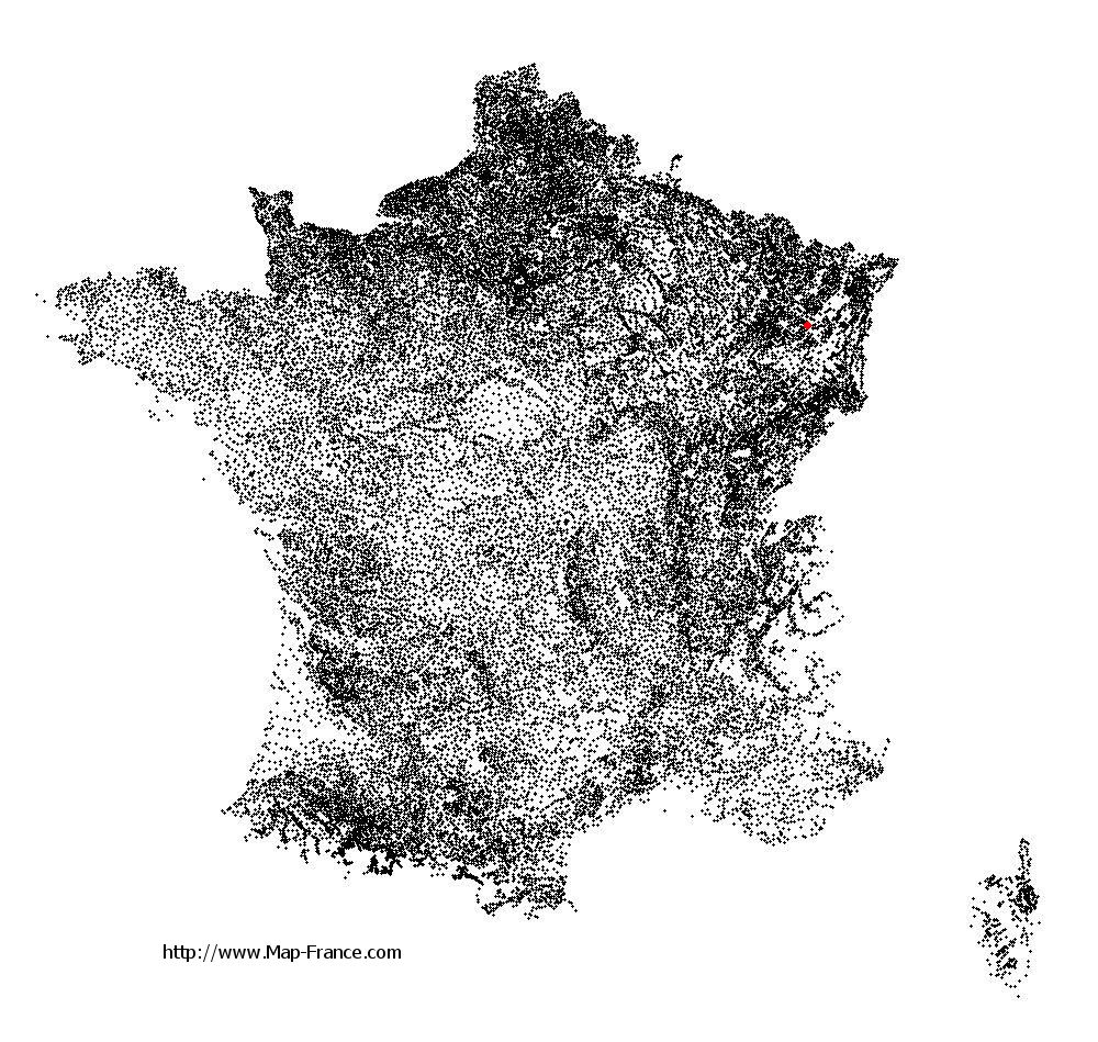
Saint-Benoît-la-Chipotte on the relief France map in Lambert 93 coordinates
|

See the map of Saint-Benoît-la-Chipotte in full screen (1000 x 949)
|
At left, here is the location of Saint-Benoît-la-Chipotte on the relief France map in Lambert 93 coordinates.
Here are the altitudes of Saint-Benoît-la-Chipotte :
- Town hall altitude of Saint-Benoît-la-Chipotte is 344 meters
- Minimum altitude of Saint-Benoît-la-Chipotte is 324 meters
- Maximum altitude of Saint-Benoît-la-Chipotte is 524 meters
- Medium altitude of Saint-Benoît-la-Chipotte is 424 meters
Here are the altitudes of Épinal, prefecture of Vosges department:
- Town hall altitude of Épinal is 330 meters
- Minimum altitude of Épinal is 315 meters
- Maximum altitude of Épinal is 492 meters
- Medium altitude of Épinal is 404 meters
Here are the altitudes of the french biggest cities:
Paris : 33 meters
Marseille : 20 meters
Lyon : 237 meters
Toulouse : 146 meters
Nice : 10 meters
Nantes : 20 meters
Strasbourg : 144 meters
Montpellier : 35 meters
Bordeaux : 16 meters
Lille : 20 meters
Rennes : 35 meters
Reims : 83 meters
Click here for the terrain map of Saint-Benoît-la-Chipotte in full screen:
Relief map of Saint-Benoît-la-Chipotte
|
This relief map of Saint-Benoît-la-Chipotte is reusable and modifiable by making a link to this page of the Map-France.com website or by using the given code :
|
Terrain base map of Saint-Benoît-la-Chipotte
|

See the terrain base map of Saint-Benoît-la-Chipotte in full screen (1000 x 949)
|
Small relief base map of Saint-Benoît-la-Chipotte

|
This base map of Saint-Benoît-la-Chipotte is reusable and modifiable by making a link to this page of the Map-France.com website or by using the given code :
|
Map of Saint-Benoît-la-Chipotte with regions and prefectures
|
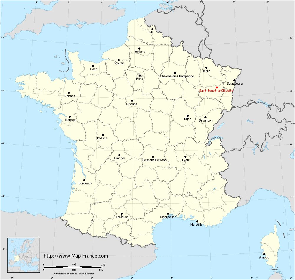
View the map of Saint-Benoît-la-Chipotte in full screen (1000 x 949)
|
You will find the location of Saint-Benoît-la-Chipotte on the map of France of regions in Lambert 93 coordinates. The town of Saint-Benoît-la-Chipotte is located in the department of Vosges of the french region Lorraine.
Geographical sexagesimal coordinates / GPS (WGS84):
Latitude: 48° 21' 27'' North
Longitude: 06° 44' 05'' East
Geographical decimal coordinates :
Latitude: 48.36 degrees (48.36° North)
Longitude: 6.736 degrees (6.736° East)
Lambert 93 coordinates :
X: 9 766 hectometers
Y: 68 129 hectometers
Lambert 2 coordinates :
X: 9 259 hectometers
Y: 23 823 hectometers
Below, the geographical coordinates of Épinal, prefecture of the Vosges department:
Geographical sexagesimal coordinates / GPS (WGS84):
Latitude: 48° 10' 25'' North
Longitude: 06° 27' 06'' East
Geographical decimal coordinates :
Latitude: 48.177 degrees (48.177° North)
Longitude: 6.448 degrees (6.448° East)
Lambert 93 coordinates :
X: 9 565 hectometers
Y: 67 915 hectometers
Lambert 2 coordinates :
X: 9 060 hectometers
Y: 23 607 hectometers
|
This map of Saint-Benoît-la-Chipotte is reusable and modifiable by making a link to this page of the Map-France.com website or by using the given code :
|
Map of Saint-Benoît-la-Chipotte with departments and prefectures
|
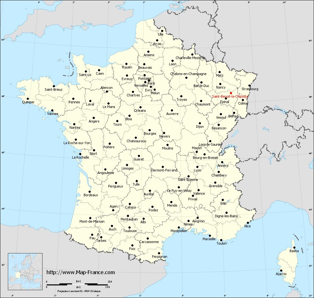
Voir la carte of Saint-Benoît-la-Chipotte en grand format (1000 x 949)
|
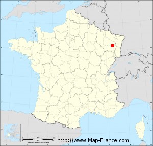
Here is the localization of Saint-Benoît-la-Chipotte on the France map of departments in Lambert 93 coordinates. The city of Saint-Benoît-la-Chipotte is shown on the map by a red point.
The town of Saint-Benoît-la-Chipotte is located in the department of Vosges of the french region Lorraine.
The latitude of Saint-Benoît-la-Chipotte is 48.36 degrees North.
The longitude of Saint-Benoît-la-Chipotte is 6.736 degrees East.
Here the distance between Saint-Benoît-la-Chipotte and the biggest cities of France:
Distances are calculated as the crow flies (orthodromic distance)
Distance between Saint-Benoît-la-Chipotte and Paris : 327.24 kilometers
Distance between Saint-Benoît-la-Chipotte and Marseille : 571.86 kilometers
Distance between Saint-Benoît-la-Chipotte and Lyon : 322.7 kilometers
Distance between Saint-Benoît-la-Chipotte and Toulouse : 667.66 kilometers
Distance between Saint-Benoît-la-Chipotte and Nice : 518.63 kilometers
Distance between Saint-Benoît-la-Chipotte and Nantes : 631.34 kilometers
Distance between Saint-Benoît-la-Chipotte and Strasbourg : 79.15 kilometers
Distance between Saint-Benoît-la-Chipotte and Montpellier : 572.12 kilometers
Distance between Saint-Benoît-la-Chipotte and Bordeaux : 680.82 kilometers
Distance between Saint-Benoît-la-Chipotte and Lille : 366.64 kilometers
Distance between Saint-Benoît-la-Chipotte and Rennes : 623.19 kilometers
Distance between Saint-Benoît-la-Chipotte and Reims : 221.63 kilometers
Clic here to see the map of Saint-Benoît-la-Chipotte in full screen:
Saint-Benoît-la-Chipotte on the map of french departments
|
This administrative map of Saint-Benoît-la-Chipotte is reusable and modifiable by making a link to this page of the Map-France.com website or by using the given code :
|
Administrative base maps of Saint-Benoît-la-Chipotte
|
See the administrative base map of Saint-Benoît-la-Chipotte in full screen (1000 x 949)
|
Small administrative base map of Saint-Benoît-la-Chipotte
|
This base map administrative of Saint-Benoît-la-Chipotte is reusable and modifiable by making a link to this page of the Map-France.com website or by using the given code :
|
 French Version : http://www.cartesfrance.fr