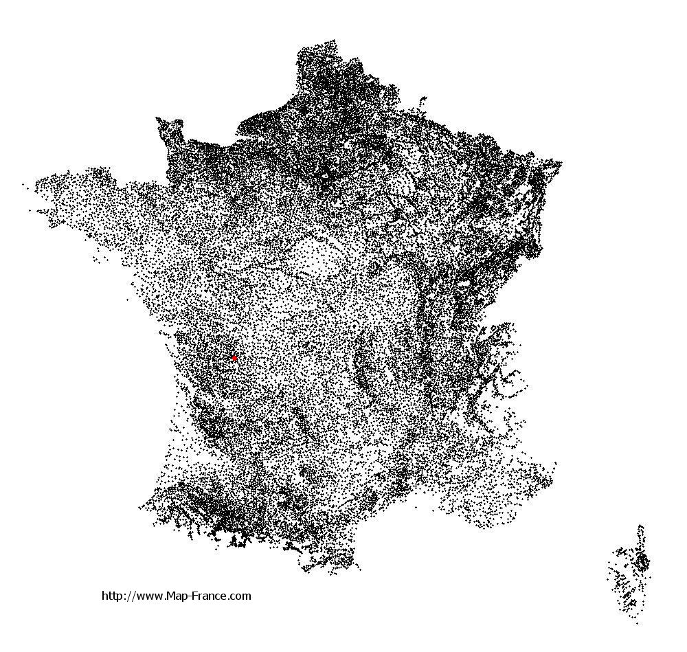
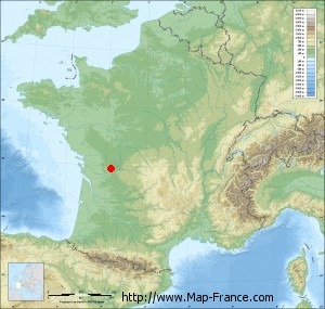
Saint-Ciers-sur-Bonnieure on the relief France map in Lambert 93 coordinates
|

See the map of Saint-Ciers-sur-Bonnieure in full screen (1000 x 949)
|
At left, here is the location of Saint-Ciers-sur-Bonnieure on the relief France map in Lambert 93 coordinates.
Here are the altitudes of Saint-Ciers-sur-Bonnieure :
- Town hall altitude of Saint-Ciers-sur-Bonnieure is 70 meters
- Minimum altitude of Saint-Ciers-sur-Bonnieure is 60 meters
- Maximum altitude of Saint-Ciers-sur-Bonnieure is 122 meters
- Medium altitude of Saint-Ciers-sur-Bonnieure is 91 meters
Here are the altitudes of Angoulême, prefecture of Charente department:
- Town hall altitude of Angoulême is 86 meters
- Minimum altitude of Angoulême is 25 meters
- Maximum altitude of Angoulême is 130 meters
- Medium altitude of Angoulême is 78 meters
Here are the altitudes of the french biggest cities:
Paris : 33 meters
Marseille : 20 meters
Lyon : 237 meters
Toulouse : 146 meters
Nice : 10 meters
Nantes : 20 meters
Strasbourg : 144 meters
Montpellier : 35 meters
Bordeaux : 16 meters
Lille : 20 meters
Rennes : 35 meters
Reims : 83 meters
Click here for the terrain map of Saint-Ciers-sur-Bonnieure in full screen:
Relief map of Saint-Ciers-sur-Bonnieure
|
This relief map of Saint-Ciers-sur-Bonnieure is reusable and modifiable by making a link to this page of the Map-France.com website or by using the given code :
|
Terrain base map of Saint-Ciers-sur-Bonnieure
|

See the terrain base map of Saint-Ciers-sur-Bonnieure in full screen (1000 x 949)
|
Small relief base map of Saint-Ciers-sur-Bonnieure
|
This base map of Saint-Ciers-sur-Bonnieure is reusable and modifiable by making a link to this page of the Map-France.com website or by using the given code :
|
Map of Saint-Ciers-sur-Bonnieure with regions and prefectures
|
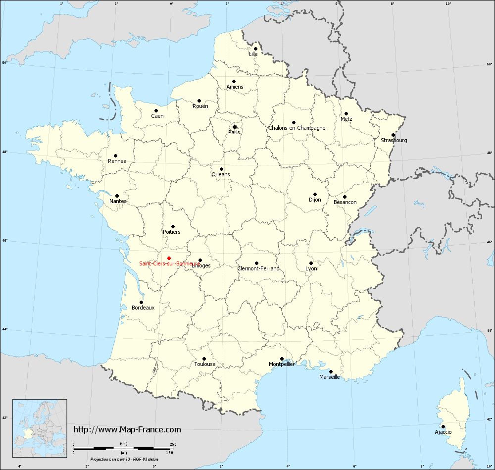
View the map of Saint-Ciers-sur-Bonnieure in full screen (1000 x 949)
|
You will find the location of Saint-Ciers-sur-Bonnieure on the map of France of regions in Lambert 93 coordinates. The town of Saint-Ciers-sur-Bonnieure is located in the department of Charente of the french region Poitou-Charentes.
Geographical sexagesimal coordinates / GPS (WGS84):
Latitude: 45° 51' 35'' North
Longitude: 00° 14' 40'' East
Geographical decimal coordinates :
Latitude: 45.859 degrees (45.859° North)
Longitude: 0.243 degrees (0.243° East)
Lambert 93 coordinates :
X: 4 862 hectometers
Y: 65 326 hectometers
Lambert 2 coordinates :
X: 4 375 hectometers
Y: 20 977 hectometers
Below, the geographical coordinates of Angoulême, prefecture of the Charente department:
Geographical sexagesimal coordinates / GPS (WGS84):
Latitude: 45° 38' 58'' North
Longitude: 00° 09' 34'' East
Geographical decimal coordinates :
Latitude: 45.653 degrees (45.653° North)
Longitude: 0.155 degrees (0.155° East)
Lambert 93 coordinates :
X: 4 788 hectometers
Y: 65 095 hectometers
Lambert 2 coordinates :
X: 4 303 hectometers
Y: 20 745 hectometers
|
This map of Saint-Ciers-sur-Bonnieure is reusable and modifiable by making a link to this page of the Map-France.com website or by using the given code :
|
Map of Saint-Ciers-sur-Bonnieure with departments and prefectures
|
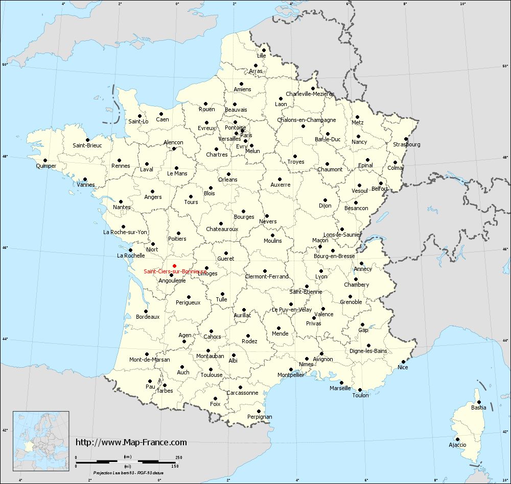
Voir la carte of Saint-Ciers-sur-Bonnieure en grand format (1000 x 949)
|
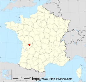
Here is the localization of Saint-Ciers-sur-Bonnieure on the France map of departments in Lambert 93 coordinates. The city of Saint-Ciers-sur-Bonnieure is shown on the map by a red point.
The town of Saint-Ciers-sur-Bonnieure is located in the department of Charente of the french region Poitou-Charentes.
The latitude of Saint-Ciers-sur-Bonnieure is 45.859 degrees North.
The longitude of Saint-Ciers-sur-Bonnieure is 0.243 degrees East.
Here the distance between Saint-Ciers-sur-Bonnieure and the biggest cities of France:
Distances are calculated as the crow flies (orthodromic distance)
Distance between Saint-Ciers-sur-Bonnieure and Paris : 369.15 kilometers
Distance between Saint-Ciers-sur-Bonnieure and Marseille : 497.32 kilometers
Distance between Saint-Ciers-sur-Bonnieure and Lyon : 355.71 kilometers
Distance between Saint-Ciers-sur-Bonnieure and Toulouse : 268.41 kilometers
Distance between Saint-Ciers-sur-Bonnieure and Nice : 602.7 kilometers
Distance between Saint-Ciers-sur-Bonnieure and Nantes : 204.23 kilometers
Distance between Saint-Ciers-sur-Bonnieure and Strasbourg : 642.32 kilometers
Distance between Saint-Ciers-sur-Bonnieure and Montpellier : 380.2 kilometers
Distance between Saint-Ciers-sur-Bonnieure and Bordeaux : 129.67 kilometers
Distance between Saint-Ciers-sur-Bonnieure and Lille : 568.91 kilometers
Distance between Saint-Ciers-sur-Bonnieure and Rennes : 289.3 kilometers
Distance between Saint-Ciers-sur-Bonnieure and Reims : 472.44 kilometers
Clic here to see the map of Saint-Ciers-sur-Bonnieure in full screen:
Saint-Ciers-sur-Bonnieure on the map of french departments
|
This administrative map of Saint-Ciers-sur-Bonnieure is reusable and modifiable by making a link to this page of the Map-France.com website or by using the given code :
|
Administrative base maps of Saint-Ciers-sur-Bonnieure
|

See the administrative base map of Saint-Ciers-sur-Bonnieure in full screen (1000 x 949)
|
Small administrative base map of Saint-Ciers-sur-Bonnieure
|
This base map administrative of Saint-Ciers-sur-Bonnieure is reusable and modifiable by making a link to this page of the Map-France.com website or by using the given code :
|
 French Version : http://www.cartesfrance.fr