|
The village of Saint-Cirgues is a small village located south of France. The town of Saint-Cirgues is located in the department of Lot of the french region Midi-Pyrénées. The town of Saint-Cirgues is located in the township of Latronquière part of the district of Figeac. The area code for Saint-Cirgues is 46255 (also known as code INSEE), and the Saint-Cirgues zip code is 46210.
Geography and map of Saint-Cirgues :
The altitude of the city hall of Saint-Cirgues is approximately 520 meters. The Saint-Cirgues surface is 32.50 km ². The latitude and longitude of Saint-Cirgues are 44.737 degrees North and 2.123 degrees East.
Nearby cities and towns of Saint-Cirgues are :
Lauresses (46210) at 3.02 km, Saint-Hilaire (46210) at 4.78 km, Sabadel-Latronquière (46210) at 4.91 km, Prendeignes (46270) at 5.18 km, Quézac (15600) at 5.19 km, Montet-et-Bouxal (46210) at 5.99 km, Maurs (15600) at 6.57 km, Saint-Étienne-de-Maurs (15600) at 7.14 km.
(The distances to these nearby towns of Saint-Cirgues are calculated as the crow flies)
Population and housing of Saint-Cirgues :
The population of Saint-Cirgues was 355 in 1999, 388 in 2006 and 385 in 2007. The population density of Saint-Cirgues is 11.85 inhabitants per km². The number of housing of Saint-Cirgues was 264 in 2007. These homes of Saint-Cirgues consist of 171 main residences, 39 second or occasional homes and 55 vacant homes. |
|
|
Hotel Saint-Cirgues
|
|
|
Book now ! Best Price Guaranteed, no booking fees, pay at the hotel with our partner Booking.com, leader in online hotel reservation.
Find all hotels of Saint-Cirgues : Hotel Saint-Cirgues
| |
|
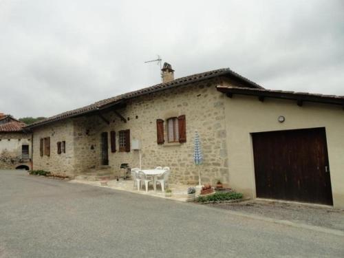
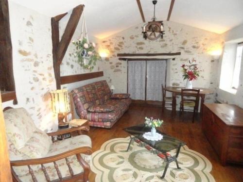
Guest accommodation : Ferme Lamalpapoche
Ferme Lamalpapoche is a detached holiday home with a garden, located in Maurs. The property is 44 km from Rocamadour and free private parking is provided. Free WiFi is available...
Address : La Viguerie 15600 Maurs
Distance Guest accommodation - Saint-Cirgues : 3.74 km
|
|
|
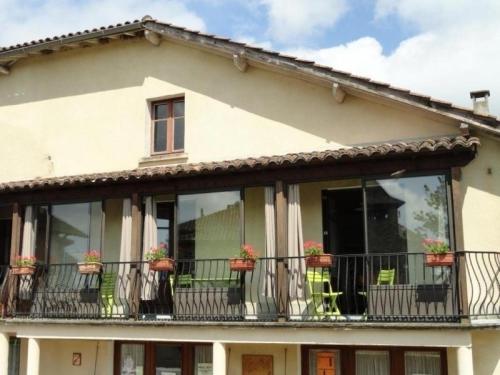
Guest accommodation : House La ségaline 1
House La ségaline 1 is situated in Saint-Hilaire. Guests staying at this holiday home have access to a fully equipped kitchen. The holiday home is equipped with a TV. Conques ...
Contact : Le bourg 46210 Saint-Hilaire
Distance Guest accommodation - Saint-Cirgues : 4.83 km
|
|
|
Guest accommodation : House Prendeignes - 4 pers, 80 m2, 4/3
Located in Prendeignes in the Midi-Pyrénées region, House Prendeignes - 4 pers, 80 m2, 4/3 has a balcony. The property features garden views and is 46 km from Conques. The holi...
Contact : Prendeignes 46270 Prendeignes
Distance Guest accommodation - Saint-Cirgues : 5.23 km
|
|
|
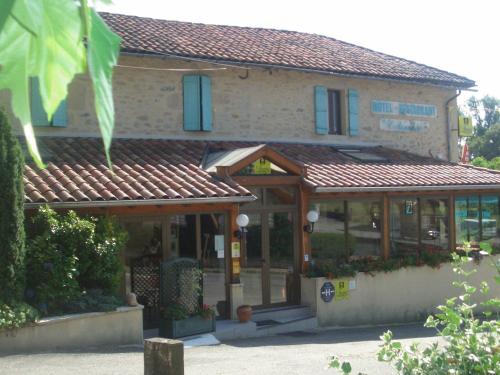
Hotel : Hotel Colombié

Immersed in lush greenery, this family-run countryside retreat is ideal for a relaxing break, away from the hustle and bustle of city life. During the day you can relax by the ...
Rate : from 63.60 €
to 91.16 €
Contact : Le Bourg 46210 Gorses
Distance Hotel - Saint-Cirgues : 5.60 km
|
|
|
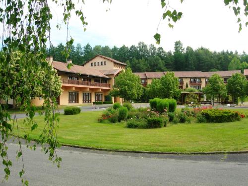
Residence : Village De Vacances La Chataigneraie Et Spa
This hotel is nestled in a chestnut grove near Maurs-la-Jolie, in the Cantal Region. It offers an indoor swimming pool, a spa and a fitness centre. Each room at the Village De ...
Address : Rue André Mouly 15600 Maurs
Distance Residence - Saint-Cirgues : 5.73 km
|
|
|
Bed and Breakfast : La Ferme De Bedou
Located in Quézac, La Ferme De Bedou offers accommodation with a kitchen. Complimentary WiFi is offered. Each unit is fully fitted with a washing machine, a flat-screen TV, a s...
Prices : from 59.00 €
to 260.00 €
Contact : Bedou 15600 Quézac
Distance Bed and Breakfast - Saint-Cirgues : 5.83 km
|
|
|
Guest accommodation : Gite du Mas duSuc
Gite du Mas duSuc is set in Bouxal and offers barbecue facilities. The property has garden views and is 44 km from Rocamadour. This holiday home is fitted with a living room an...
Contact : Le Suc 46210 Bouxal
Distance Guest accommodation - Saint-Cirgues : 5.96 km
|
|
|
Guest accommodation : House Prendeignes - 4 pers, 73 m2, 4/3 1
House Prendeignes - 4 pers, 73 m2, 4/3 1 is located in Prendeignes. Guests staying at this holiday home have access to a fully equipped kitchen. The holiday home is fitted with...
Contact : La Vente 46270 Prendeignes
Distance Guest accommodation - Saint-Cirgues : 6.09 km
|
|
|
Guest accommodation : Holiday Home Passerat
Set in Maurs in the Auvergne region, Holiday Home Passerat has a balcony. The property is 34 km from Conques, and private parking is provided. The holiday home comes with 3 bed...
Address : 15600 Maurs
Distance Guest accommodation - Saint-Cirgues : 6.30 km
|
|
|
Guest accommodation : House Prendeignes - 4 pers, 80 m2, 3/2
House Prendeignes - 4 pers, 80 m2, 3/2 is located in Prendeignes. The accommodation is 47 km from Rocamadour. The holiday home comes with a TV. A dishwasher and a fridge can be...
Contact : Le Struel 46270 Prendeignes
Distance Guest accommodation - Saint-Cirgues : 6.34 km
|
|
Find another hotel near Saint-Cirgues : Saint-Cirgues hotels list
|
Map of Saint-Cirgues
|
|
Map of Saint-Cirgues :
At right you can find the localization of Saint-Cirgues on the map of France. Below, this is the satellite map of Saint-Cirgues. A road map, and maps templates of Saint-Cirgues are available here : "road map of Saint-Cirgues". This map show Saint-Cirgues seen by the satellite of Google Map. To see the streets of Saint-Cirgues or move on another zone, use the buttons "zoom" and "map" on top of this dynamic map.
Search on the map of Saint-Cirgues :
To search hotels, housings, tourist information office, administrations or other services, use the Google search integrated to the map on the following page : "map Saint-Cirgues".
Hotels of Saint-Cirgues are listed on the map with the following icons: 
The map of Saint-Cirgues is centred in the following coordinates :
|

|
|
|
|
Print the map of Saint-Cirgues

Print the map of Saint-Cirgues : map of Saint-Cirgues
|
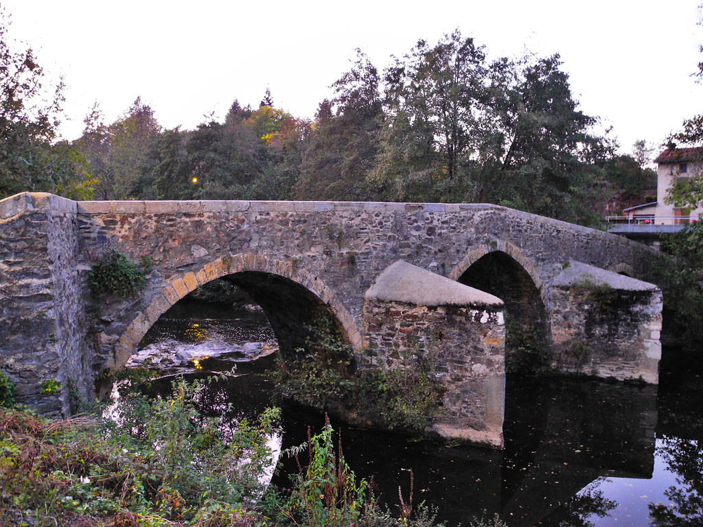
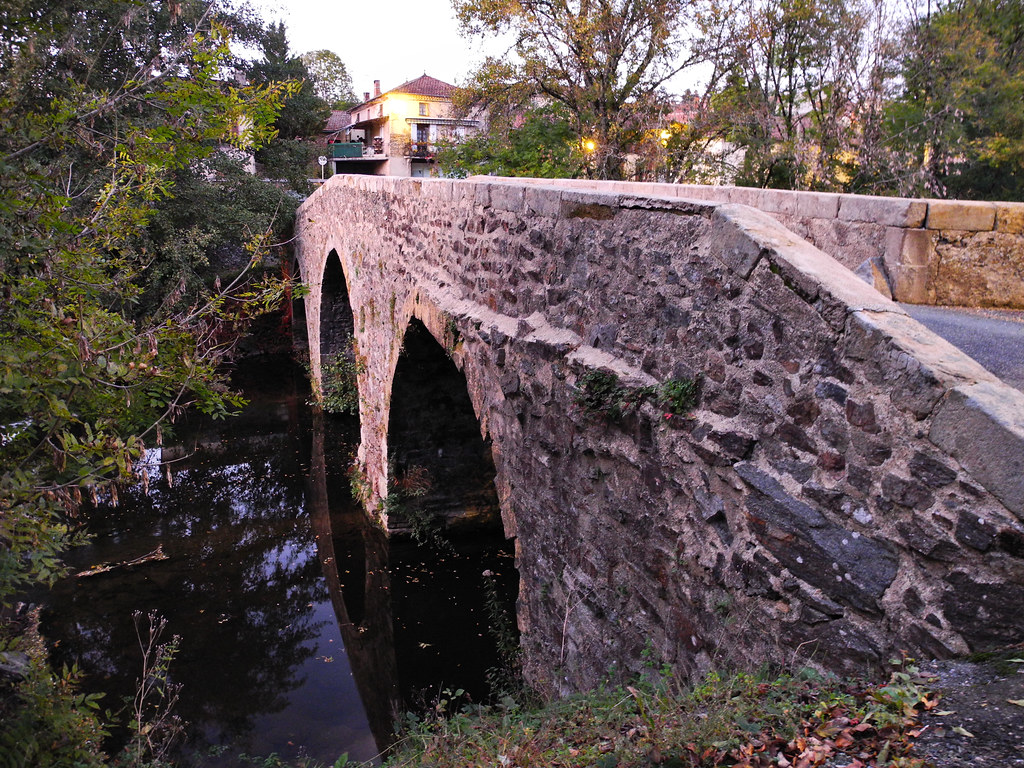
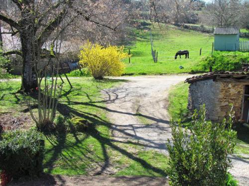
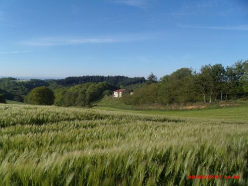
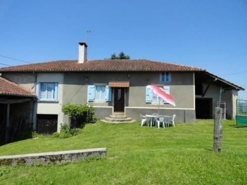
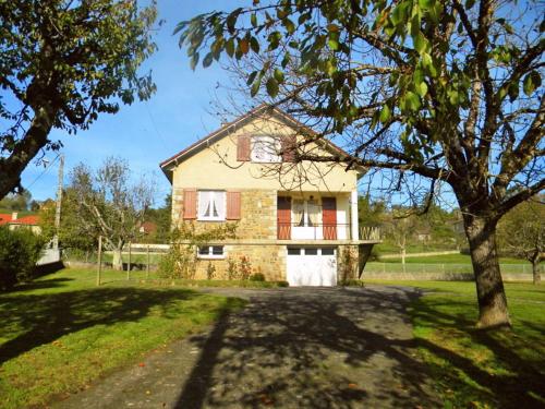
Photos Saint-Cirgues
|
See all photos of Saint-Cirgues :
Other photos of Saint-Cirgues and nearby towns can be found here: photos Saint-Cirgues
|
|
Saint-Cirgues weather forecast
Find next hours and 7 days weather forecast for Saint-Cirgues here : weather Saint-Cirgues (with english metrics)
This is the last weather forecast for Saint-Cirgues collected by the nearest observation station of Latronquière.
Week Forecast:
The latest weather data for Saint-Cirgues were collected Saturday, 16 May 2026 at 15:04 from the nearest observation station of Latronquière.
| Saturday, May 16th |
12°C 5°C
64%
75%
|
Drizzle
Temperature Max: 12°C Temperature Min: 5°C
Precipitation Probability: 64% (Rain)
Percentage of sky occluded by clouds: 75%
Wind speed: 13 km/h South-East
Humidity: 75%° UV Index: 4
Sunrise: 06:22 Sunset: 21:14 |
|
| | Sunday, May 17th |
14°C 6°C
71%
91%
|
Drizzle
Temperature Max: 14°C Temperature Min: 6°C
Precipitation Probability: 71% (Rain)
Percentage of sky occluded by clouds: 91%
Wind speed: 7 km/h North-East
Humidity: 80%° UV Index: 4
Sunrise: 06:21 Sunset: 21:15 |
|
| | Monday, May 18th |
14°C 6°C
0%
91%
|
Cloudy
Temperature Max: 14°C Temperature Min: 6°C
Precipitation Probability: 0%
Percentage of sky occluded by clouds: 91%
Wind speed: 8 km/h East
Humidity: 75%° UV Index: 4
Sunrise: 06:20 Sunset: 21:16 |
|
| | Tuesday, May 19th |
17°C 7°C
0%
84%
|
Mostly cloudy
Temperature Max: 17°C Temperature Min: 7°C
Precipitation Probability: 0%
Percentage of sky occluded by clouds: 84%
Wind speed: 6 km/h East
Humidity: 70%° UV Index: 4
Sunrise: 06:19 Sunset: 21:17 |
|
|
Attribution: 
|
|
Other maps, hotels and towns in france
Find another town, zip code, department, region, ...
Quick links Saint-Cirgues :
Make a link to this page of Saint-Cirgues with the following code :
|
|
|
 French Version : http://www.cartesfrance.fr/carte-france-ville/46255_Saint-Cirgues.html