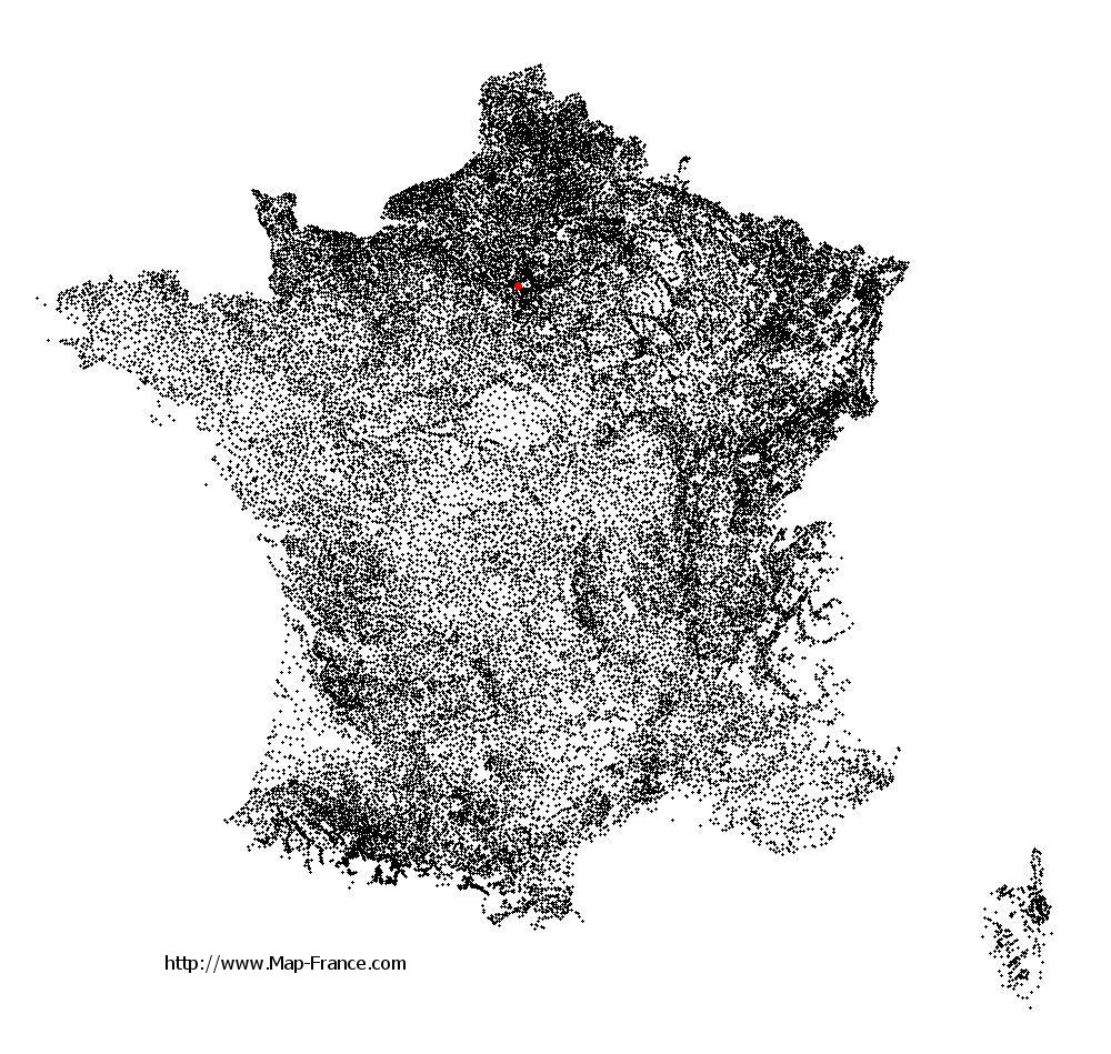
Saint-Cloud on the relief France map in Lambert 93 coordinates
|
See the map of Saint-Cloud in full screen (1000 x 949)
|
At left, here is the location of Saint-Cloud on the relief France map in Lambert 93 coordinates.
Here are the altitudes of Saint-Cloud :
- Town hall altitude of Saint-Cloud is 123 meters
- Minimum altitude of Saint-Cloud is 28 meters
- Maximum altitude of Saint-Cloud is 164 meters
- Medium altitude of Saint-Cloud is 96 meters
Here are the altitudes of Nanterre, prefecture of Hauts-de-Seine department:
- Town hall altitude of Nanterre is 42 meters
- Minimum altitude of Nanterre is 22 meters
- Maximum altitude of Nanterre is 127 meters
- Medium altitude of Nanterre is 75 meters
Here are the altitudes of the french biggest cities:
Paris : 33 meters
Marseille : 20 meters
Lyon : 237 meters
Toulouse : 146 meters
Nice : 10 meters
Nantes : 20 meters
Strasbourg : 144 meters
Montpellier : 35 meters
Bordeaux : 16 meters
Lille : 20 meters
Rennes : 35 meters
Reims : 83 meters
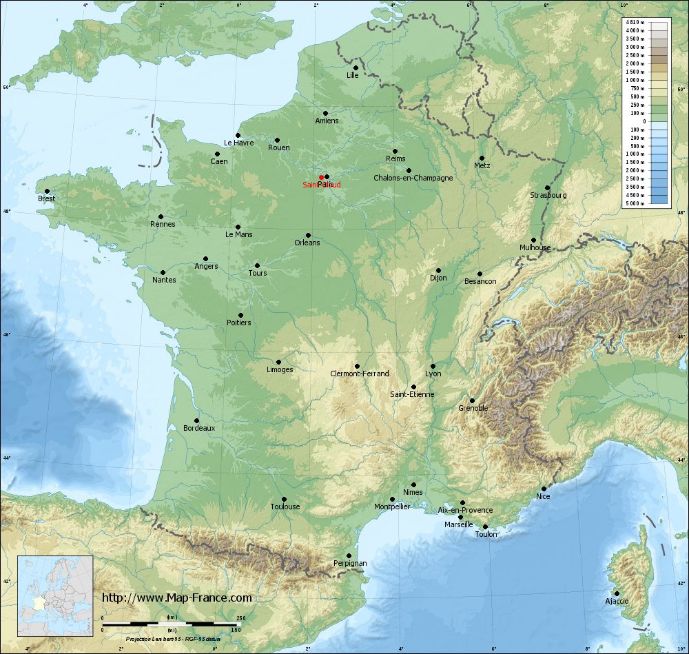
Click here for the terrain map of Saint-Cloud in full screen:
Relief map of Saint-Cloud
|
This relief map of Saint-Cloud is reusable and modifiable by making a link to this page of the Map-France.com website or by using the given code :
|
Terrain base map of Saint-Cloud
|

See the terrain base map of Saint-Cloud in full screen (1000 x 949)
|
Small relief base map of Saint-Cloud

|
This base map of Saint-Cloud is reusable and modifiable by making a link to this page of the Map-France.com website or by using the given code :
|
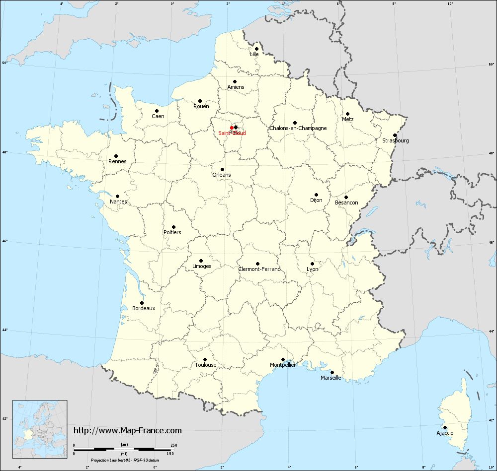
Map of Saint-Cloud with regions and prefectures
|
View the map of Saint-Cloud in full screen (1000 x 949)
|
You will find the location of Saint-Cloud on the map of France of regions in Lambert 93 coordinates. The city of Saint-Cloud is located in the department of Hauts-de-Seine of the french region Île-de-France.
Geographical sexagesimal coordinates / GPS (WGS84):
Latitude: 48° 50' 47'' North
Longitude: 02° 12' 55'' East
Geographical decimal coordinates :
Latitude: 48.848 degrees (48.848° North)
Longitude: 2.211 degrees (2.211° East)
Lambert 93 coordinates :
X: 6 424 hectometers
Y: 68 610 hectometers
Lambert 2 coordinates :
X: 5 911 hectometers
Y: 24 276 hectometers
Below, the geographical coordinates of Nanterre, prefecture of the Hauts-de-Seine department:
Geographical sexagesimal coordinates / GPS (WGS84):
Latitude: 48° 53' 26'' North
Longitude: 02° 12' 13'' East
Geographical decimal coordinates :
Latitude: 48.891 degrees (48.891° North)
Longitude: 2.209 degrees (2.209° East)
Lambert 93 coordinates :
X: 6 416 hectometers
Y: 68 659 hectometers
Lambert 2 coordinates :
X: 5 903 hectometers
Y: 24 325 hectometers
|
This map of Saint-Cloud is reusable and modifiable by making a link to this page of the Map-France.com website or by using the given code :
|
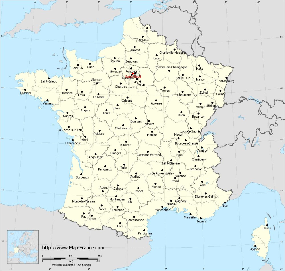
Map of Saint-Cloud with departments and prefectures
|
Voir la carte of Saint-Cloud en grand format (1000 x 949)
|
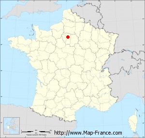
Here is the localization of Saint-Cloud on the France map of departments in Lambert 93 coordinates. The city of Saint-Cloud is shown on the map by a red point.
The city of Saint-Cloud is located in the department of Hauts-de-Seine of the french region Île-de-France.
The latitude of Saint-Cloud is 48.848 degrees North.
The longitude of Saint-Cloud is 2.211 degrees East.
Here the distance between Saint-Cloud and the biggest cities of France:
Distances are calculated as the crow flies (orthodromic distance)
Distance between Saint-Cloud and Paris : 9.94 kilometers
Distance between Saint-Cloud and Marseille : 663.74 kilometers
Distance between Saint-Cloud and Lyon : 395.96 kilometers
Distance between Saint-Cloud and Toulouse : 586.04 kilometers
Distance between Saint-Cloud and Nice : 690.22 kilometers
Distance between Saint-Cloud and Nantes : 333.12 kilometers
Distance between Saint-Cloud and Strasbourg : 407.43 kilometers
Distance between Saint-Cloud and Montpellier : 595.96 kilometers
Distance between Saint-Cloud and Bordeaux : 492.73 kilometers
Distance between Saint-Cloud and Lille : 206.59 kilometers
Distance between Saint-Cloud and Rennes : 298.15 kilometers
Distance between Saint-Cloud and Reims : 140.13 kilometers
Clic here to see the map of Saint-Cloud in full screen:
Saint-Cloud on the map of french departments
|
This administrative map of Saint-Cloud is reusable and modifiable by making a link to this page of the Map-France.com website or by using the given code :
|
Administrative base maps of Saint-Cloud
|

See the administrative base map of Saint-Cloud in full screen (1000 x 949)
|
Small administrative base map of Saint-Cloud
|
This base map administrative of Saint-Cloud is reusable and modifiable by making a link to this page of the Map-France.com website or by using the given code :
|
 French Version : http://www.cartesfrance.fr