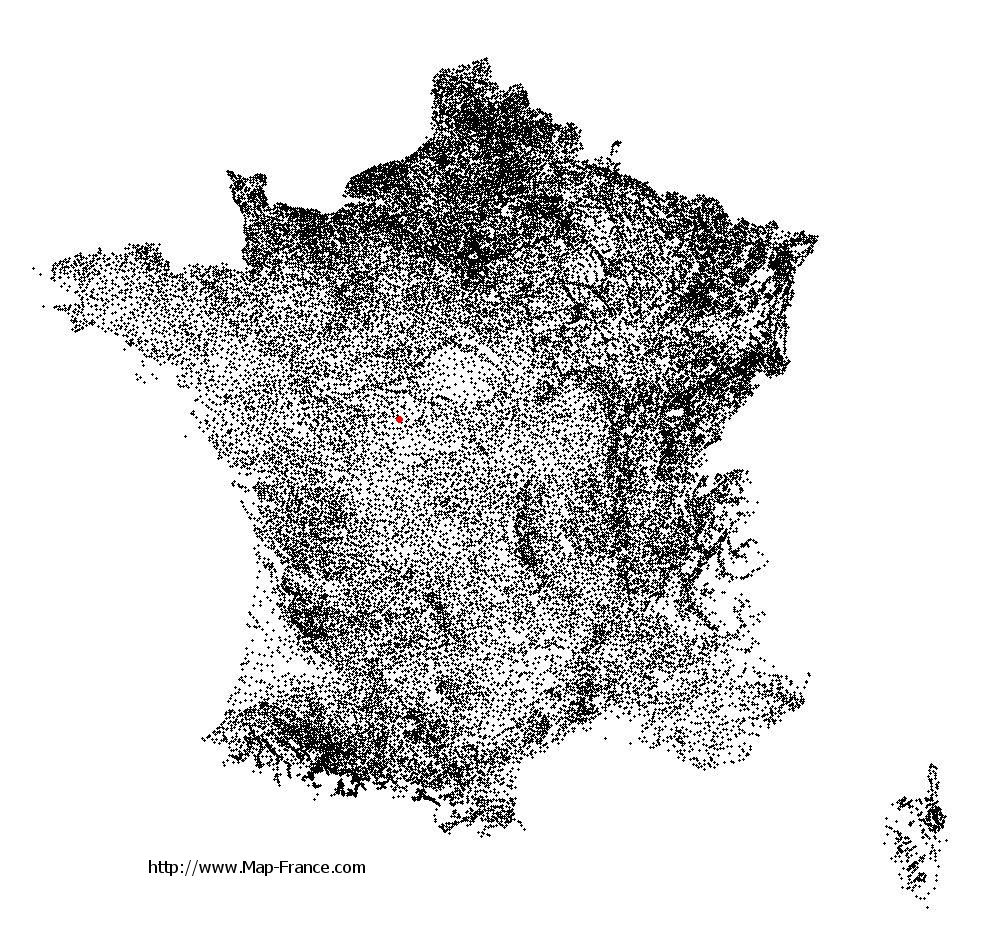
Saint-Cyran-du-Jambot on the relief France map in Lambert 93 coordinates
|

See the map of Saint-Cyran-du-Jambot in full screen (1000 x 949)
|
At left, here is the location of Saint-Cyran-du-Jambot on the relief France map in Lambert 93 coordinates.
Here are the altitudes of Saint-Cyran-du-Jambot :
- Town hall altitude of Saint-Cyran-du-Jambot is 90 meters
- Minimum altitude of Saint-Cyran-du-Jambot is 79 meters
- Maximum altitude of Saint-Cyran-du-Jambot is 143 meters
- Medium altitude of Saint-Cyran-du-Jambot is 111 meters
Here are the altitudes of Châteauroux, prefecture of Indre department:
- Town hall altitude of Châteauroux is 143 meters
- Minimum altitude of Châteauroux is 132 meters
- Maximum altitude of Châteauroux is 164 meters
- Medium altitude of Châteauroux is 148 meters
Here are the altitudes of the french biggest cities:
Paris : 33 meters
Marseille : 20 meters
Lyon : 237 meters
Toulouse : 146 meters
Nice : 10 meters
Nantes : 20 meters
Strasbourg : 144 meters
Montpellier : 35 meters
Bordeaux : 16 meters
Lille : 20 meters
Rennes : 35 meters
Reims : 83 meters
Click here for the terrain map of Saint-Cyran-du-Jambot in full screen:
Relief map of Saint-Cyran-du-Jambot
|
This relief map of Saint-Cyran-du-Jambot is reusable and modifiable by making a link to this page of the Map-France.com website or by using the given code :
|
Terrain base map of Saint-Cyran-du-Jambot
|

See the terrain base map of Saint-Cyran-du-Jambot in full screen (1000 x 949)
|
Small relief base map of Saint-Cyran-du-Jambot
|
This base map of Saint-Cyran-du-Jambot is reusable and modifiable by making a link to this page of the Map-France.com website or by using the given code :
|
Map of Saint-Cyran-du-Jambot with regions and prefectures
|
View the map of Saint-Cyran-du-Jambot in full screen (1000 x 949)
|
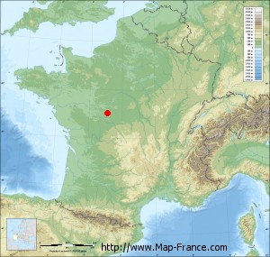
You will find the location of Saint-Cyran-du-Jambot on the map of France of regions in Lambert 93 coordinates. The town of Saint-Cyran-du-Jambot is located in the department of Indre of the french region Centre.
Geographical sexagesimal coordinates / GPS (WGS84):
Latitude: 47° 00' 59'' North
Longitude: 01° 08' 24'' East
Geographical decimal coordinates :
Latitude: 47.016 degrees (47.016° North)
Longitude: 1.142 degrees (1.142° East)
Lambert 93 coordinates :
X: 5 587 hectometers
Y: 66 590 hectometers
Lambert 2 coordinates :
X: 5 090 hectometers
Y: 22 248 hectometers
Below, the geographical coordinates of Châteauroux, prefecture of the Indre department:
Geographical sexagesimal coordinates / GPS (WGS84):
Latitude: 46° 48' 35'' North
Longitude: 01° 41' 25'' East
Geographical decimal coordinates :
Latitude: 46.811 degrees (46.811° North)
Longitude: 1.699 degrees (1.699° East)
Lambert 93 coordinates :
X: 6 001 hectometers
Y: 66 352 hectometers
Lambert 2 coordinates :
X: 5 507 hectometers
Y: 22 013 hectometers
|
This map of Saint-Cyran-du-Jambot is reusable and modifiable by making a link to this page of the Map-France.com website or by using the given code :
|
Map of Saint-Cyran-du-Jambot with departments and prefectures
|
Voir la carte of Saint-Cyran-du-Jambot en grand format (1000 x 949)
|
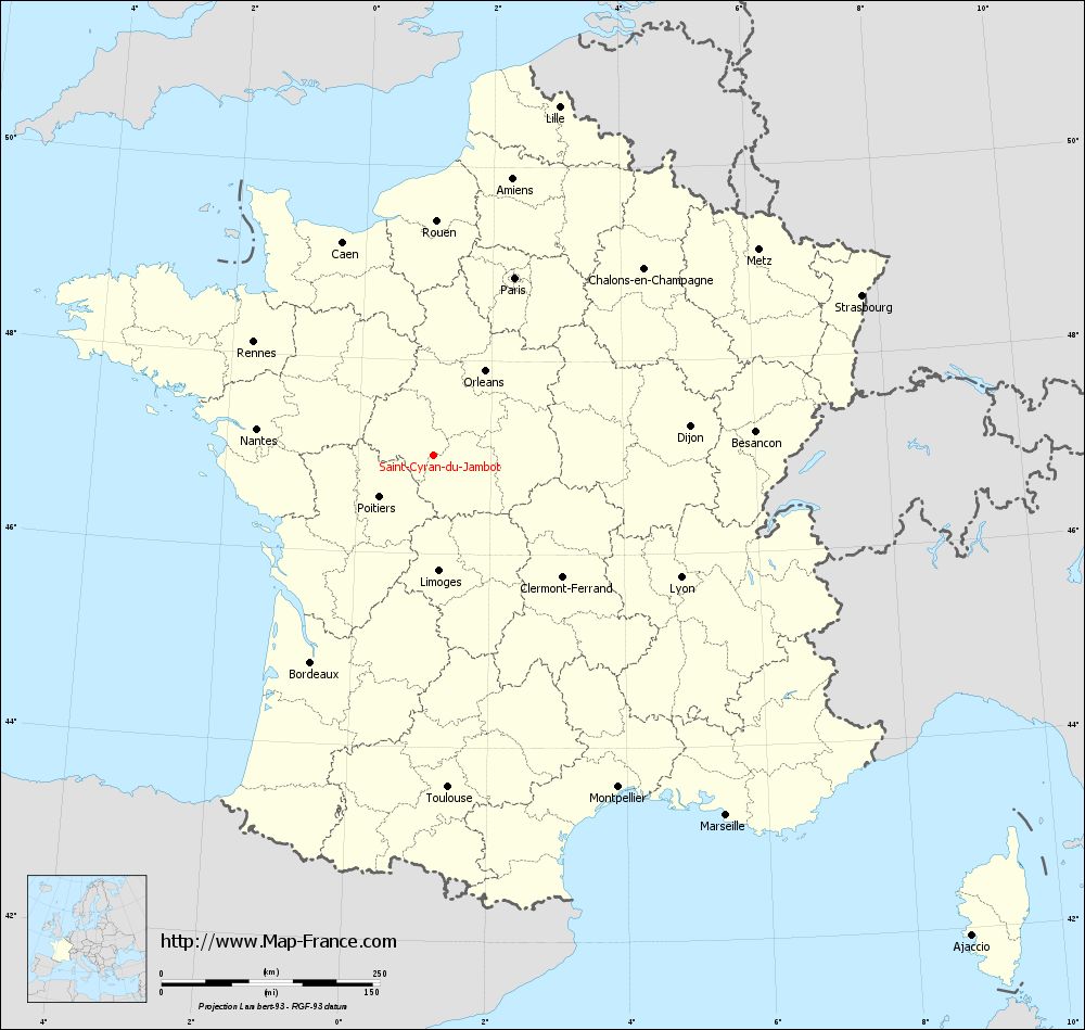
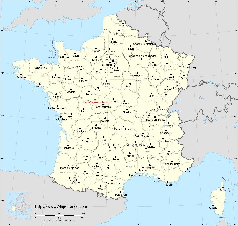
Here is the localization of Saint-Cyran-du-Jambot on the France map of departments in Lambert 93 coordinates. The city of Saint-Cyran-du-Jambot is shown on the map by a red point.
The town of Saint-Cyran-du-Jambot is located in the department of Indre of the french region Centre.
The latitude of Saint-Cyran-du-Jambot is 47.016 degrees North.
The longitude of Saint-Cyran-du-Jambot is 1.142 degrees East.
Here the distance between Saint-Cyran-du-Jambot and the biggest cities of France:
Distances are calculated as the crow flies (orthodromic distance)
Distance between Saint-Cyran-du-Jambot and Paris : 223.68 kilometers
Distance between Saint-Cyran-du-Jambot and Marseille : 530.84 kilometers
Distance between Saint-Cyran-du-Jambot and Lyon : 315.52 kilometers
Distance between Saint-Cyran-du-Jambot and Toulouse : 380.31 kilometers
Distance between Saint-Cyran-du-Jambot and Nice : 602.64 kilometers
Distance between Saint-Cyran-du-Jambot and Nantes : 205.06 kilometers
Distance between Saint-Cyran-du-Jambot and Strasbourg : 523.25 kilometers
Distance between Saint-Cyran-du-Jambot and Montpellier : 434.54 kilometers
Distance between Saint-Cyran-du-Jambot and Bordeaux : 275.48 kilometers
Distance between Saint-Cyran-du-Jambot and Lille : 424.73 kilometers
Distance between Saint-Cyran-du-Jambot and Rennes : 243.87 kilometers
Distance between Saint-Cyran-du-Jambot and Reims : 328.5 kilometers
Clic here to see the map of Saint-Cyran-du-Jambot in full screen:
Saint-Cyran-du-Jambot on the map of french departments
|
This administrative map of Saint-Cyran-du-Jambot is reusable and modifiable by making a link to this page of the Map-France.com website or by using the given code :
|
Administrative base maps of Saint-Cyran-du-Jambot
|

See the administrative base map of Saint-Cyran-du-Jambot in full screen (1000 x 949)
|
Small administrative base map of Saint-Cyran-du-Jambot
|
This base map administrative of Saint-Cyran-du-Jambot is reusable and modifiable by making a link to this page of the Map-France.com website or by using the given code :
|
 French Version : http://www.cartesfrance.fr