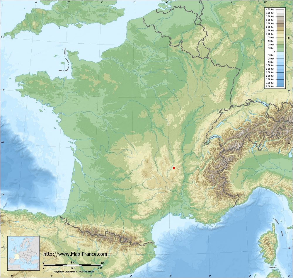
Saint-Didier-en-Velay on the relief France map in Lambert 93 coordinates
|

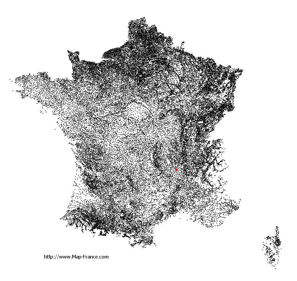
See the map of Saint-Didier-en-Velay in full screen (1000 x 949)
|
At left, here is the location of Saint-Didier-en-Velay on the relief France map in Lambert 93 coordinates.
Here are the altitudes of Saint-Didier-en-Velay :
- Town hall altitude of Saint-Didier-en-Velay is 833 meters
- Minimum altitude of Saint-Didier-en-Velay is 640 meters
- Maximum altitude of Saint-Didier-en-Velay is 924 meters
- Medium altitude of Saint-Didier-en-Velay is 782 meters
Here are the altitudes of Le Puy-en-Velay, prefecture of Haute-Loire department:
- Town hall altitude of Le Puy-en-Velay is 628 meters
- Minimum altitude of Le Puy-en-Velay is 600 meters
- Maximum altitude of Le Puy-en-Velay is 888 meters
- Medium altitude of Le Puy-en-Velay is 744 meters
Here are the altitudes of the french biggest cities:
Paris : 33 meters
Marseille : 20 meters
Lyon : 237 meters
Toulouse : 146 meters
Nice : 10 meters
Nantes : 20 meters
Strasbourg : 144 meters
Montpellier : 35 meters
Bordeaux : 16 meters
Lille : 20 meters
Rennes : 35 meters
Reims : 83 meters
Click here for the terrain map of Saint-Didier-en-Velay in full screen:
Relief map of Saint-Didier-en-Velay
|
This relief map of Saint-Didier-en-Velay is reusable and modifiable by making a link to this page of the Map-France.com website or by using the given code :
|
Terrain base map of Saint-Didier-en-Velay
|
See the terrain base map of Saint-Didier-en-Velay in full screen (1000 x 949)
|
Small relief base map of Saint-Didier-en-Velay

|
This base map of Saint-Didier-en-Velay is reusable and modifiable by making a link to this page of the Map-France.com website or by using the given code :
|
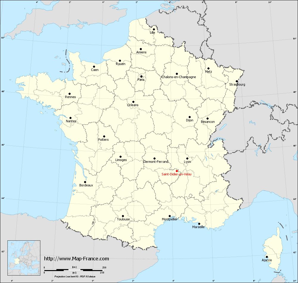
Map of Saint-Didier-en-Velay with regions and prefectures
|
View the map of Saint-Didier-en-Velay in full screen (1000 x 949)
|
You will find the location of Saint-Didier-en-Velay on the map of France of regions in Lambert 93 coordinates. The city of Saint-Didier-en-Velay is located in the department of Haute-Loire of the french region Auvergne.
Geographical sexagesimal coordinates / GPS (WGS84):
Latitude: 45° 18' 10'' North
Longitude: 04° 16' 31'' East
Geographical decimal coordinates :
Latitude: 45.303 degrees (45.303° North)
Longitude: 4.275 degrees (4.275° East)
Lambert 93 coordinates :
X: 7 999 hectometers
Y: 64 678 hectometers
Lambert 2 coordinates :
X: 7 521 hectometers
Y: 20 354 hectometers
Below, the geographical coordinates of Le Puy-en-Velay, prefecture of the Haute-Loire department:
Geographical sexagesimal coordinates / GPS (WGS84):
Latitude: 45° 02' 36'' North
Longitude: 03° 53' 06'' East
Geographical decimal coordinates :
Latitude: 45.042 degrees (45.042° North)
Longitude: 3.888 degrees (3.888° East)
Lambert 93 coordinates :
X: 7 697 hectometers
Y: 64 386 hectometers
Lambert 2 coordinates :
X: 7 220 hectometers
Y: 20 059 hectometers
|
This map of Saint-Didier-en-Velay is reusable and modifiable by making a link to this page of the Map-France.com website or by using the given code :
|
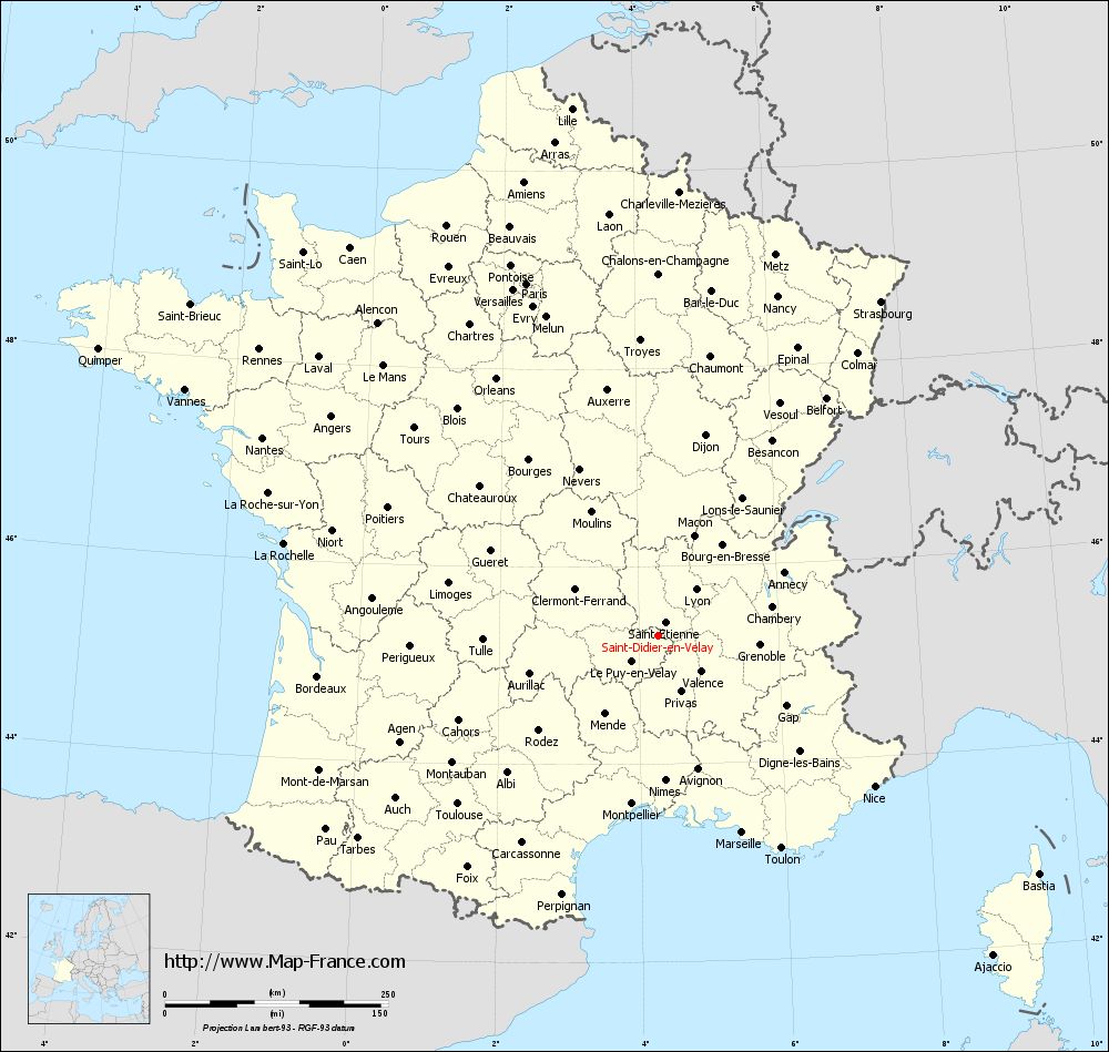
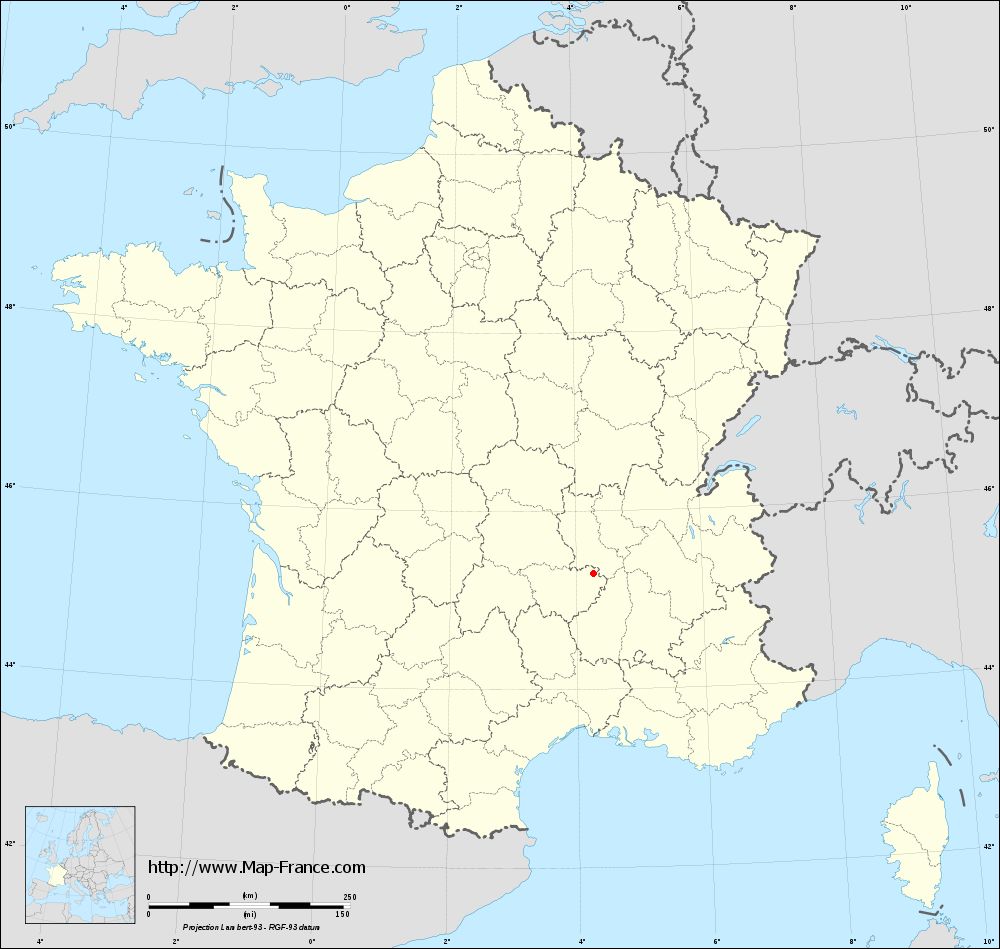
Map of Saint-Didier-en-Velay with departments and prefectures
|
Voir la carte of Saint-Didier-en-Velay en grand format (1000 x 949)
|
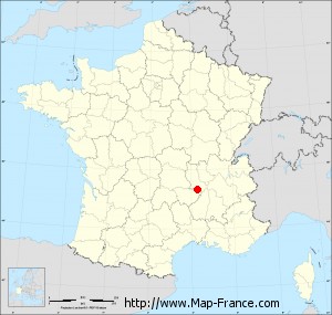
Here is the localization of Saint-Didier-en-Velay on the France map of departments in Lambert 93 coordinates. The city of Saint-Didier-en-Velay is shown on the map by a red point.
The city of Saint-Didier-en-Velay is located in the department of Haute-Loire of the french region Auvergne.
The latitude of Saint-Didier-en-Velay is 45.303 degrees North.
The longitude of Saint-Didier-en-Velay is 4.275 degrees East.
Here the distance between Saint-Didier-en-Velay and the biggest cities of France:
Distances are calculated as the crow flies (orthodromic distance)
Distance between Saint-Didier-en-Velay and Paris : 421.4 kilometers
Distance between Saint-Didier-en-Velay and Marseille : 240.04 kilometers
Distance between Saint-Didier-en-Velay and Lyon : 66.93 kilometers
Distance between Saint-Didier-en-Velay and Toulouse : 293.18 kilometers
Distance between Saint-Didier-en-Velay and Nice : 295.75 kilometers
Distance between Saint-Didier-en-Velay and Nantes : 495.64 kilometers
Distance between Saint-Didier-en-Velay and Strasbourg : 450.09 kilometers
Distance between Saint-Didier-en-Velay and Montpellier : 190.83 kilometers
Distance between Saint-Didier-en-Velay and Bordeaux : 383.9 kilometers
Distance between Saint-Didier-en-Velay and Lille : 598.72 kilometers
Distance between Saint-Didier-en-Velay and Rennes : 550.23 kilometers
Distance between Saint-Didier-en-Velay and Reims : 439.87 kilometers
Clic here to see the map of Saint-Didier-en-Velay in full screen:
Saint-Didier-en-Velay on the map of french departments
|
This administrative map of Saint-Didier-en-Velay is reusable and modifiable by making a link to this page of the Map-France.com website or by using the given code :
|
Administrative base maps of Saint-Didier-en-Velay
|
See the administrative base map of Saint-Didier-en-Velay in full screen (1000 x 949)
|
Small administrative base map of Saint-Didier-en-Velay
|
This base map administrative of Saint-Didier-en-Velay is reusable and modifiable by making a link to this page of the Map-France.com website or by using the given code :
|
 French Version : http://www.cartesfrance.fr