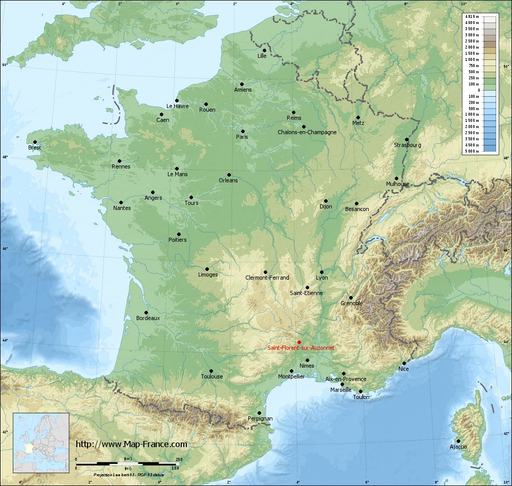
Saint-Florent-sur-Auzonnet on the relief France map in Lambert 93 coordinates
|
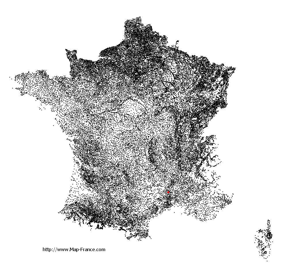
See the map of Saint-Florent-sur-Auzonnet in full screen (1000 x 949)
|
At left, here is the location of Saint-Florent-sur-Auzonnet on the relief France map in Lambert 93 coordinates.
Here are the altitudes of Saint-Florent-sur-Auzonnet :
- Town hall altitude of Saint-Florent-sur-Auzonnet is 260 meters
- Minimum altitude of Saint-Florent-sur-Auzonnet is 213 meters
- Maximum altitude of Saint-Florent-sur-Auzonnet is 542 meters
- Medium altitude of Saint-Florent-sur-Auzonnet is 378 meters
Here are the altitudes of Nîmes, prefecture of Gard department:
- Town hall altitude of Nîmes is 46 meters
- Minimum altitude of Nîmes is 21 meters
- Maximum altitude of Nîmes is 215 meters
- Medium altitude of Nîmes is 118 meters
Here are the altitudes of the french biggest cities:
Paris : 33 meters
Marseille : 20 meters
Lyon : 237 meters
Toulouse : 146 meters
Nice : 10 meters
Nantes : 20 meters
Strasbourg : 144 meters
Montpellier : 35 meters
Bordeaux : 16 meters
Lille : 20 meters
Rennes : 35 meters
Reims : 83 meters
Click here for the terrain map of Saint-Florent-sur-Auzonnet in full screen:
Relief map of Saint-Florent-sur-Auzonnet
|
This relief map of Saint-Florent-sur-Auzonnet is reusable and modifiable by making a link to this page of the Map-France.com website or by using the given code :
|
Terrain base map of Saint-Florent-sur-Auzonnet
|

See the terrain base map of Saint-Florent-sur-Auzonnet in full screen (1000 x 949)
|
Small relief base map of Saint-Florent-sur-Auzonnet

|
This base map of Saint-Florent-sur-Auzonnet is reusable and modifiable by making a link to this page of the Map-France.com website or by using the given code :
|
Map of Saint-Florent-sur-Auzonnet with regions and prefectures
|
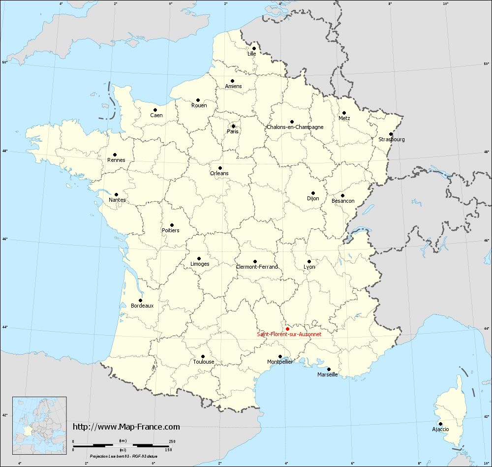
View the map of Saint-Florent-sur-Auzonnet in full screen (1000 x 949)
|
You will find the location of Saint-Florent-sur-Auzonnet on the map of France of regions in Lambert 93 coordinates. The town of Saint-Florent-sur-Auzonnet is located in the department of Gard of the french region Languedoc-Roussillon.
Geographical sexagesimal coordinates / GPS (WGS84):
Latitude: 44° 14' 32'' North
Longitude: 04° 06' 41'' East
Geographical decimal coordinates :
Latitude: 44.243 degrees (44.243° North)
Longitude: 4.112 degrees (4.112° East)
Lambert 93 coordinates :
X: 7 888 hectometers
Y: 63 499 hectometers
Lambert 2 coordinates :
X: 7 419 hectometers
Y: 19 173 hectometers
Below, the geographical coordinates of Nîmes, prefecture of the Gard department:
Geographical sexagesimal coordinates / GPS (WGS84):
Latitude: 43° 50' 13'' North
Longitude: 04° 21' 36'' East
Geographical decimal coordinates :
Latitude: 43.839 degrees (43.839° North)
Longitude: 4.361 degrees (4.361° East)
Lambert 93 coordinates :
X: 8 094 hectometers
Y: 63 052 hectometers
Lambert 2 coordinates :
X: 7 629 hectometers
Y: 18 727 hectometers
|
This map of Saint-Florent-sur-Auzonnet is reusable and modifiable by making a link to this page of the Map-France.com website or by using the given code :
|
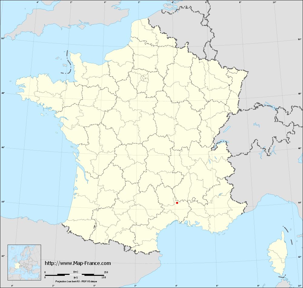
Map of Saint-Florent-sur-Auzonnet with departments and prefectures
|
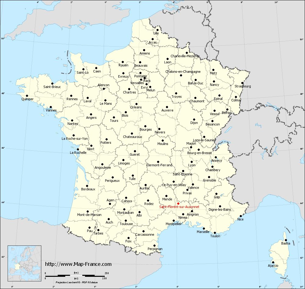
Voir la carte of Saint-Florent-sur-Auzonnet en grand format (1000 x 949)
|
Here is the localization of Saint-Florent-sur-Auzonnet on the France map of departments in Lambert 93 coordinates. The city of Saint-Florent-sur-Auzonnet is shown on the map by a red point.
The town of Saint-Florent-sur-Auzonnet is located in the department of Gard of the french region Languedoc-Roussillon.
The latitude of Saint-Florent-sur-Auzonnet is 44.243 degrees North.
The longitude of Saint-Florent-sur-Auzonnet is 4.112 degrees East.
Here the distance between Saint-Florent-sur-Auzonnet and the biggest cities of France:
Distances are calculated as the crow flies (orthodromic distance)
Distance between Saint-Florent-sur-Auzonnet and Paris : 530.48 kilometers
Distance between Saint-Florent-sur-Auzonnet and Marseille : 147.32 kilometers
Distance between Saint-Florent-sur-Auzonnet and Lyon : 177.82 kilometers
Distance between Saint-Florent-sur-Auzonnet and Toulouse : 224.68 kilometers
Distance between Saint-Florent-sur-Auzonnet and Nice : 258.81 kilometers
Distance between Saint-Florent-sur-Auzonnet and Nantes : 549.71 kilometers
Distance between Saint-Florent-sur-Auzonnet and Strasbourg : 557.13 kilometers
Distance between Saint-Florent-sur-Auzonnet and Montpellier : 72.99 kilometers
Distance between Saint-Florent-sur-Auzonnet and Bordeaux : 377.05 kilometers
Distance between Saint-Florent-sur-Auzonnet and Lille : 713.92 kilometers
Distance between Saint-Florent-sur-Auzonnet and Rennes : 618.53 kilometers
Distance between Saint-Florent-sur-Auzonnet and Reims : 557.23 kilometers
Clic here to see the map of Saint-Florent-sur-Auzonnet in full screen:
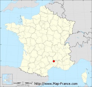
Saint-Florent-sur-Auzonnet on the map of french departments
|
This administrative map of Saint-Florent-sur-Auzonnet is reusable and modifiable by making a link to this page of the Map-France.com website or by using the given code :
|
Administrative base maps of Saint-Florent-sur-Auzonnet
|
See the administrative base map of Saint-Florent-sur-Auzonnet in full screen (1000 x 949)
|
Small administrative base map of Saint-Florent-sur-Auzonnet
|
This base map administrative of Saint-Florent-sur-Auzonnet is reusable and modifiable by making a link to this page of the Map-France.com website or by using the given code :
|
 French Version : http://www.cartesfrance.fr