|
The village of Saint-Gand is a small village located east of France. The town of Saint-Gand is located in the department of Haute-Saône of the french region Franche-Comté. The town of Saint-Gand is located in the township of Fresne-Saint-Mamès part of the district of Vesoul. The area code for Saint-Gand is 70463 (also known as code INSEE), and the Saint-Gand zip code is 70130.
Geography and map of Saint-Gand :
The altitude of the city hall of Saint-Gand is approximately 230 meters. The Saint-Gand surface is 15.83 km ². The latitude and longitude of Saint-Gand are 47.518 degrees North and 5.849 degrees East.
Nearby cities and towns of Saint-Gand are :
La Vernotte (70130) at 1.64 km, Greucourt (70130) at 1.98 km, Fresne-Saint-Mamès (70130) at 3.27 km, Les Bâties (70130) at 3.45 km, Vezet (70130) at 3.50 km, La Chapelle-Saint-Quillain (70700) at 5.54 km, Sainte-Reine (70700) at 5.66 km, Le Pont-de-Planches (70130) at 5.81 km.
(The distances to these nearby towns of Saint-Gand are calculated as the crow flies)
Population and housing of Saint-Gand :
The population of Saint-Gand was 77 in 1999, 123 in 2006 and 130 in 2007. The population density of Saint-Gand is 8.21 inhabitants per km². The number of housing of Saint-Gand was 59 in 2007. These homes of Saint-Gand consist of 51 main residences, 4 second or occasional homes and 4 vacant homes. |
|
|
Hotel Saint-Gand
|
|
|
Book now ! Best Price Guaranteed, no booking fees, pay at the hotel with our partner Booking.com, leader in online hotel reservation.
Find all hotels of Saint-Gand : Hotel Saint-Gand
| |
|
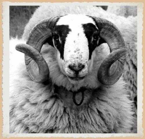
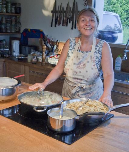
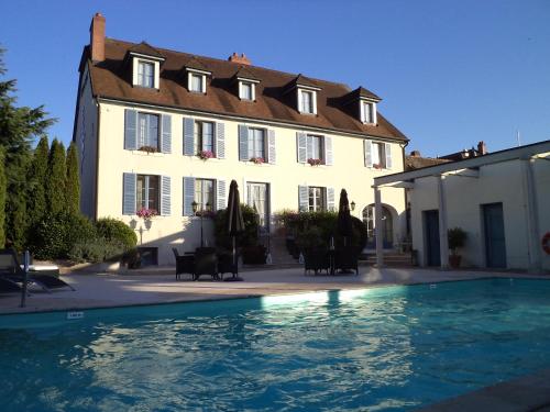
Hotel : L'Hôtel du Mouton blanc
L'Hôtel du Mouton blanc offers pet-friendly accommodation in Fresne-Saint-Mamès. Guests can enjoy the on-site restaurant. All rooms have a flat-screen TV with satellite channel...
Rate : from 48.00 €
to 68.00 €
Address : 2 grande rue 70130 Fresne-Saint-Mamès
Distance Hotel - Saint-Gand : 3.24 km
|
|
|
Bed and Breakfast : Chambres d'Hôtes La Corne aux Vaches
Located 24 km from Vesoul, 33 km from Gray and 34 km from Besançon, La Corne aux Vaches offers B&B accommodation in a 15-hectare park. Grocery shops and services are available i...
Price : from 65.00 €
to 86.00 €
Contact : 6 Rue du Pré de la Haie 70130 Frétigney-et-Velloreille
Distance Bed and Breakfast - Saint-Gand : 7.63 km
|
|
|
Bed and Breakfast : Le Tilleul de Ray
Offering a barbecue and views of the garden, Le Tilleul de Ray is set in Ray-sur-Saône, 41 km from Besançon. Guests can enjoy the on-site bar. Free private parking is available ...
Prices : from 65.00 €
to 145.00 €
Contact : 14 rue Sainte Anne 70130 Ray-sur-Saône
Distance Bed and Breakfast - Saint-Gand : 7.68 km
|
|
|
Bed and Breakfast : Les Gourmandises Bio

Located in Recologne in the Franche-Comté region, Les Gourmandises Bio features a terrace. This property offers access to a balcony and free WiFi. A continental breakfast is se...
Rate : from 98.00 €
to 196.00 €
Contact : 3 Rue Des Varennes 70130 Recologne
Distance Bed and Breakfast - Saint-Gand : 8.93 km
|
|
|
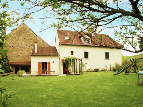
Guest accommodation : Maison De Vacances - Vanne
Maison De Vacances - Vanne is set in Vanne. Guests may enjoy free WiFi. The holiday home includes 3 bedrooms and a kitchen with a dishwasher and a microwave. A TV is featured. ...
Address : 70130 Vanne
Distance Guest accommodation - Saint-Gand : 9.61 km
|
|
|
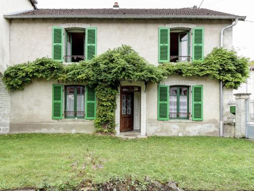
Guest accommodation : Les Volets Verts
Set in Vanne in the Franche-Comté region, Les Volets Verts has a garden. Guests staying at this holiday home have access to a fully equipped kitchen. The holiday home features ...
Contact : 70130 Vanne
Distance Guest accommodation - Saint-Gand : 9.95 km
|
|
|
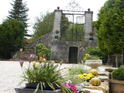
Bed and Breakfast : Château de la Hussardière
Situated in Dampierre-sur-Salon, Château de la Hussardière offers accommodation with free WiFi. The bed and breakfast offers a TV and a private bathroom with free toiletries, a...
Rate : from 90.00 €
to 170.00 €
Contact : 1 route de Roche, VAITE 70180 Dampierre-sur-Salon
Distance Bed and Breakfast - Saint-Gand : 12.23 km
|
|
|
Hotel Pinocchio offers 3-star accommodation, free private parking and free Wi-Fi. Each room is equipped with a telephone, flat-screen TV and private bathroom. There is also a st...
Price : from 60.00 €
to 120.00 €
Contact : Rue Beauregard 3 70700 Gy
Distance Hotel - Saint-Gand : 12.59 km
|
|
|
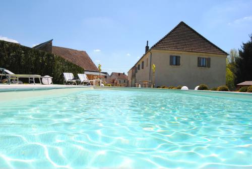
Hotel : Le Domaine des Papillons
This hotel is set in an 18th-century building with a tree-lined garden and swimming pool. It is located in the village of Beaujeu-et-Quitteur, 10 km from Gray. Free Wi-Fi is pr...
Prices : from 75.00 €
to 100.00 €
Address : 12 rue des ecoles 70100 Beaujeu-Saint-Vallier-et-Pierrejux
Distance Hotel - Saint-Gand : 13.15 km
|
|
|
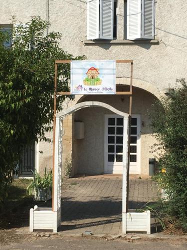
Guest accommodation : la Maison d'Odile
Located in Beaujeu-Saint-Vallier-et-Pierrejux, la Maison d'Odile features accommodation with free WiFi and a garden with a terrace and garden views. Each unit features an oven,...
Rate : from 44.00 €
to 84.00 €
Contact : 40 rue du lavoir 70100 Beaujeu-Saint-Vallier-et-Pierrejux
Distance Guest accommodation - Saint-Gand : 13.23 km
|
|
Find another hotel near Saint-Gand : Saint-Gand hotels list
|
Map of Saint-Gand
|
|
Map of Saint-Gand :
At right you can find the localization of Saint-Gand on the map of France. Below, this is the satellite map of Saint-Gand. A road map, and maps templates of Saint-Gand are available here : "road map of Saint-Gand". This map show Saint-Gand seen by the satellite of Google Map. To see the streets of Saint-Gand or move on another zone, use the buttons "zoom" and "map" on top of this dynamic map.
Search on the map of Saint-Gand :
To search hotels, housings, tourist information office, administrations or other services, use the Google search integrated to the map on the following page : "map Saint-Gand".
Hotels of Saint-Gand are listed on the map with the following icons: 
The map of Saint-Gand is centred in the following coordinates :
|

|
|
|
|
Print the map of Saint-Gand

Print the map of Saint-Gand : map of Saint-Gand
|
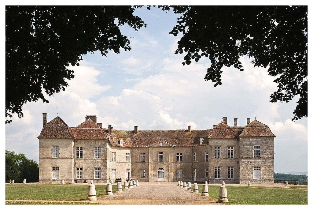
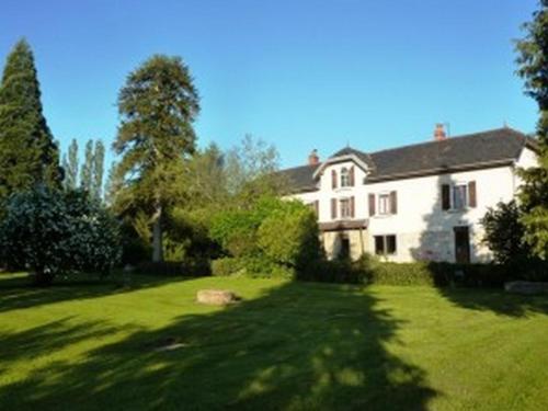
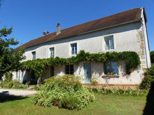
Photos Saint-Gand
|
See all photos of Saint-Gand :
Other photos of Saint-Gand and nearby towns can be found here: photos Saint-Gand
|
|
Saint-Gand weather forecast
Find next hours and 7 days weather forecast for Saint-Gand here : weather Saint-Gand (with english metrics)
This is the last weather forecast for Saint-Gand collected by the nearest observation station of Fresne-Saint-Mamès.
Week Forecast:
The latest weather data for Saint-Gand were collected Friday, 31 July 2026 at 19:05 from the nearest observation station of Fresne-Saint-Mamès.
| Friday, July 31st |
32°C 18°C
64%
62%
|
Rain
Temperature Max: 32°C Temperature Min: 18°C
Precipitation Probability: 64% (Rain)
Percentage of sky occluded by clouds: 62%
Wind speed: 9 km/h North-East
Humidity: 49%° UV Index: 5
Sunrise: 06:12 Sunset: 21:12 |
|
| | Saturday, August 1st |
29°C 18°C
72%
58%
|
Drizzle
Temperature Max: 29°C Temperature Min: 18°C
Precipitation Probability: 72% (Rain)
Percentage of sky occluded by clouds: 58%
Wind speed: 6 km/h South-East
Humidity: 64%° UV Index: 6
Sunrise: 06:13 Sunset: 21:11 |
|
| | Sunday, August 2nd |
32°C 18°C
0%
23%
|
Mostly clear
Temperature Max: 32°C Temperature Min: 18°C
Precipitation Probability: 0%
Percentage of sky occluded by clouds: 23%
Wind speed: 6 km/h Sout-East
Humidity: 49%° UV Index: 7
Sunrise: 06:15 Sunset: 21:09 |
|
| | Monday, August 3rd |
34°C 19°C
37%
46%
|
Drizzle
Temperature Max: 34°C Temperature Min: 19°C
Precipitation Probability: 37% (Rain)
Percentage of sky occluded by clouds: 46%
Wind speed: 11 km/h North-East
Humidity: 45%° UV Index: 6
Sunrise: 06:16 Sunset: 21:08 |
|
|
Attribution: 
|
|
Other maps, hotels and towns in france
Find another town, zip code, department, region, ...
Quick links Saint-Gand :
Make a link to this page of Saint-Gand with the following code :
|
|
|
 French Version : http://www.cartesfrance.fr/carte-france-ville/70463_Saint-Gand.html