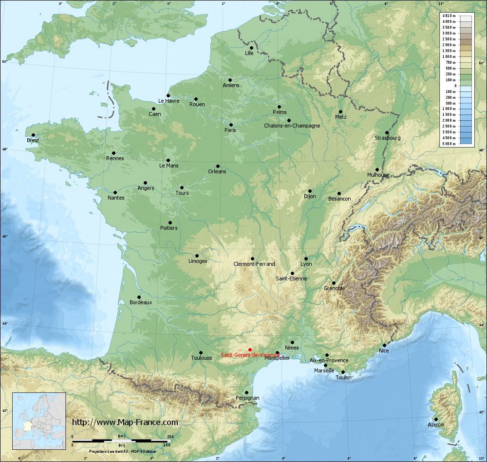
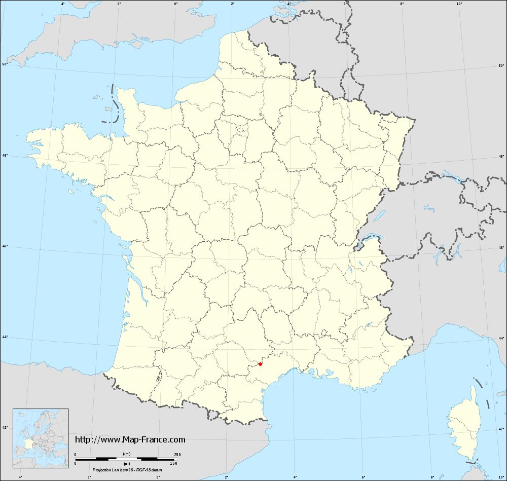
Saint-Geniès-de-Varensal on the relief France map in Lambert 93 coordinates
|
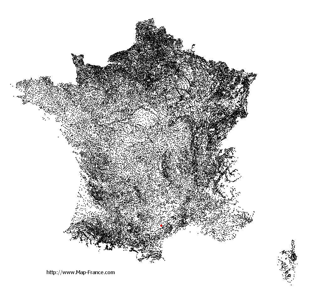
See the map of Saint-Geniès-de-Varensal in full screen (1000 x 949)
|
At left, here is the location of Saint-Geniès-de-Varensal on the relief France map in Lambert 93 coordinates.
Here are the altitudes of Saint-Geniès-de-Varensal :
- Town hall altitude of Saint-Geniès-de-Varensal is 380 meters
- Minimum altitude of Saint-Geniès-de-Varensal is 358 meters
- Maximum altitude of Saint-Geniès-de-Varensal is 1 086 meters
- Medium altitude of Saint-Geniès-de-Varensal is 722 meters
Here are the altitudes of Montpellier, prefecture of Hérault department:
- Town hall altitude of Montpellier is 35 meters
- Minimum altitude of Montpellier is 7 meters
- Maximum altitude of Montpellier is 121 meters
- Medium altitude of Montpellier is 64 meters
Here are the altitudes of the french biggest cities:
Paris : 33 meters
Marseille : 20 meters
Lyon : 237 meters
Toulouse : 146 meters
Nice : 10 meters
Nantes : 20 meters
Strasbourg : 144 meters
Montpellier : 35 meters
Bordeaux : 16 meters
Lille : 20 meters
Rennes : 35 meters
Reims : 83 meters
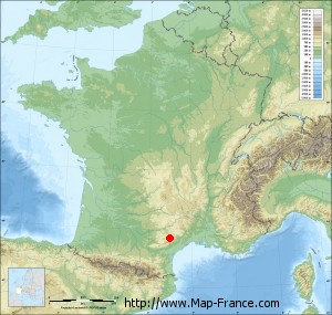
Click here for the terrain map of Saint-Geniès-de-Varensal in full screen:
Relief map of Saint-Geniès-de-Varensal
|
This relief map of Saint-Geniès-de-Varensal is reusable and modifiable by making a link to this page of the Map-France.com website or by using the given code :
|
Terrain base map of Saint-Geniès-de-Varensal
|

See the terrain base map of Saint-Geniès-de-Varensal in full screen (1000 x 949)
|
Small relief base map of Saint-Geniès-de-Varensal
|
This base map of Saint-Geniès-de-Varensal is reusable and modifiable by making a link to this page of the Map-France.com website or by using the given code :
|
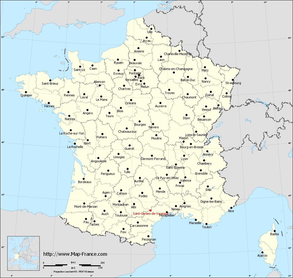
Map of Saint-Geniès-de-Varensal with regions and prefectures
|
View the map of Saint-Geniès-de-Varensal in full screen (1000 x 949)
|
You will find the location of Saint-Geniès-de-Varensal on the map of France of regions in Lambert 93 coordinates. The town of Saint-Geniès-de-Varensal is located in the department of Hérault of the french region Languedoc-Roussillon.
Geographical sexagesimal coordinates / GPS (WGS84):
Latitude: 43° 40' 51'' North
Longitude: 03° 00' 10'' East
Geographical decimal coordinates :
Latitude: 43.681 degrees (43.681° North)
Longitude: 3.003 degrees (3.003° East)
Lambert 93 coordinates :
X: 7 002 hectometers
Y: 62 869 hectometers
Lambert 2 coordinates :
X: 6 538 hectometers
Y: 18 534 hectometers
Below, the geographical coordinates of Montpellier, prefecture of the Hérault department:
Geographical sexagesimal coordinates / GPS (WGS84):
Latitude: 43° 36' 40'' North
Longitude: 03° 52' 36'' East
Geographical decimal coordinates :
Latitude: 43.609 degrees (43.609° North)
Longitude: 3.874 degrees (3.874° East)
Lambert 93 coordinates :
X: 7 708 hectometers
Y: 62 795 hectometers
Lambert 2 coordinates :
X: 7 245 hectometers
Y: 18 467 hectometers
|
This map of Saint-Geniès-de-Varensal is reusable and modifiable by making a link to this page of the Map-France.com website or by using the given code :
|
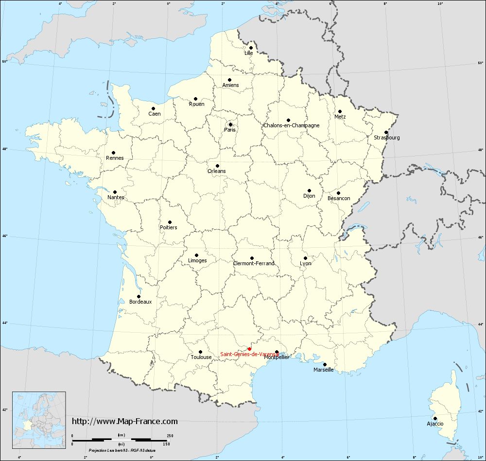
Map of Saint-Geniès-de-Varensal with departments and prefectures
|
Voir la carte of Saint-Geniès-de-Varensal en grand format (1000 x 949)
|
Here is the localization of Saint-Geniès-de-Varensal on the France map of departments in Lambert 93 coordinates. The city of Saint-Geniès-de-Varensal is shown on the map by a red point.
The town of Saint-Geniès-de-Varensal is located in the department of Hérault of the french region Languedoc-Roussillon.
The latitude of Saint-Geniès-de-Varensal is 43.681 degrees North.
The longitude of Saint-Geniès-de-Varensal is 3.003 degrees East.
Here the distance between Saint-Geniès-de-Varensal and the biggest cities of France:
Distances are calculated as the crow flies (orthodromic distance)
Distance between Saint-Geniès-de-Varensal and Paris : 577.73 kilometers
Distance between Saint-Geniès-de-Varensal and Marseille : 197.85 kilometers
Distance between Saint-Geniès-de-Varensal and Lyon : 272.52 kilometers
Distance between Saint-Geniès-de-Varensal and Toulouse : 125.13 kilometers
Distance between Saint-Geniès-de-Varensal and Nice : 342.18 kilometers
Distance between Saint-Geniès-de-Varensal and Nantes : 529.61 kilometers
Distance between Saint-Geniès-de-Varensal and Strasbourg : 656.04 kilometers
Distance between Saint-Geniès-de-Varensal and Montpellier : 70.53 kilometers
Distance between Saint-Geniès-de-Varensal and Bordeaux : 312.54 kilometers
Distance between Saint-Geniès-de-Varensal and Lille : 771.89 kilometers
Distance between Saint-Geniès-de-Varensal and Rennes : 610.53 kilometers
Distance between Saint-Geniès-de-Varensal and Reims : 624.63 kilometers
Clic here to see the map of Saint-Geniès-de-Varensal in full screen:
Saint-Geniès-de-Varensal on the map of french departments
|
This administrative map of Saint-Geniès-de-Varensal is reusable and modifiable by making a link to this page of the Map-France.com website or by using the given code :
|
Administrative base maps of Saint-Geniès-de-Varensal
|
See the administrative base map of Saint-Geniès-de-Varensal in full screen (1000 x 949)
|
Small administrative base map of Saint-Geniès-de-Varensal
|
This base map administrative of Saint-Geniès-de-Varensal is reusable and modifiable by making a link to this page of the Map-France.com website or by using the given code :
|
 French Version : http://www.cartesfrance.fr