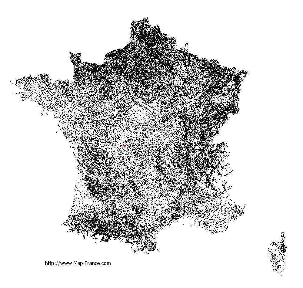
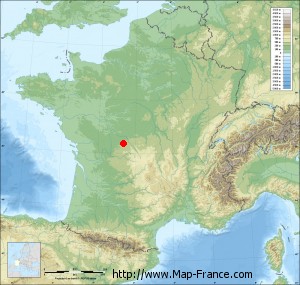
Saint-Georges-les-Landes on the relief France map in Lambert 93 coordinates
|

See the map of Saint-Georges-les-Landes in full screen (1000 x 949)
|
At left, here is the location of Saint-Georges-les-Landes on the relief France map in Lambert 93 coordinates.
Here are the altitudes of Saint-Georges-les-Landes :
- Town hall altitude of Saint-Georges-les-Landes is 271 meters
- Minimum altitude of Saint-Georges-les-Landes is 218 meters
- Maximum altitude of Saint-Georges-les-Landes is 302 meters
- Medium altitude of Saint-Georges-les-Landes is 260 meters
Here are the altitudes of Limoges, prefecture of Haute-Vienne department:
- Town hall altitude of Limoges is 306 meters
- Minimum altitude of Limoges is 209 meters
- Maximum altitude of Limoges is 431 meters
- Medium altitude of Limoges is 320 meters
Here are the altitudes of the french biggest cities:
Paris : 33 meters
Marseille : 20 meters
Lyon : 237 meters
Toulouse : 146 meters
Nice : 10 meters
Nantes : 20 meters
Strasbourg : 144 meters
Montpellier : 35 meters
Bordeaux : 16 meters
Lille : 20 meters
Rennes : 35 meters
Reims : 83 meters
Click here for the terrain map of Saint-Georges-les-Landes in full screen:
Relief map of Saint-Georges-les-Landes
|
This relief map of Saint-Georges-les-Landes is reusable and modifiable by making a link to this page of the Map-France.com website or by using the given code :
|
Terrain base map of Saint-Georges-les-Landes
|

See the terrain base map of Saint-Georges-les-Landes in full screen (1000 x 949)
|
Small relief base map of Saint-Georges-les-Landes
|
This base map of Saint-Georges-les-Landes is reusable and modifiable by making a link to this page of the Map-France.com website or by using the given code :
|
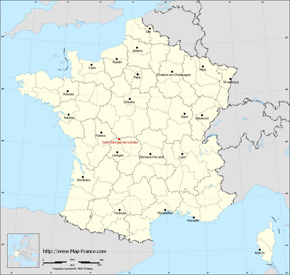
Map of Saint-Georges-les-Landes with regions and prefectures
|
View the map of Saint-Georges-les-Landes in full screen (1000 x 949)
|
You will find the location of Saint-Georges-les-Landes on the map of France of regions in Lambert 93 coordinates. The town of Saint-Georges-les-Landes is located in the department of Haute-Vienne of the french region Limousin.
Geographical sexagesimal coordinates / GPS (WGS84):
Latitude: 46° 20' 32'' North
Longitude: 01° 20' 12'' East
Geographical decimal coordinates :
Latitude: 46.341 degrees (46.341° North)
Longitude: 1.336 degrees (1.336° East)
Lambert 93 coordinates :
X: 5 721 hectometers
Y: 65 838 hectometers
Lambert 2 coordinates :
X: 5 230 hectometers
Y: 21 496 hectometers
Below, the geographical coordinates of Limoges, prefecture of the Haute-Vienne department:
Geographical sexagesimal coordinates / GPS (WGS84):
Latitude: 45° 50' 04'' North
Longitude: 01° 15' 42'' East
Geographical decimal coordinates :
Latitude: 45.832 degrees (45.832° North)
Longitude: 1.259 degrees (1.259° East)
Lambert 93 coordinates :
X: 5 651 hectometers
Y: 65 276 hectometers
Lambert 2 coordinates :
X: 5 165 hectometers
Y: 20 933 hectometers
|
This map of Saint-Georges-les-Landes is reusable and modifiable by making a link to this page of the Map-France.com website or by using the given code :
|
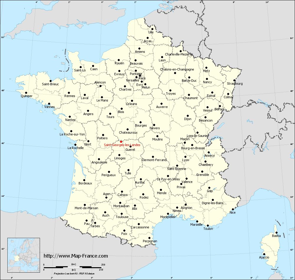
Map of Saint-Georges-les-Landes with departments and prefectures
|
Voir la carte of Saint-Georges-les-Landes en grand format (1000 x 949)
|
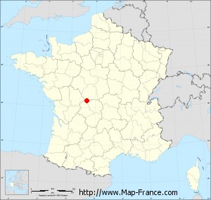
Here is the localization of Saint-Georges-les-Landes on the France map of departments in Lambert 93 coordinates. The city of Saint-Georges-les-Landes is shown on the map by a red point.
The town of Saint-Georges-les-Landes is located in the department of Haute-Vienne of the french region Limousin.
The latitude of Saint-Georges-les-Landes is 46.341 degrees North.
The longitude of Saint-Georges-les-Landes is 1.336 degrees East.
Here the distance between Saint-Georges-les-Landes and the biggest cities of France:
Distances are calculated as the crow flies (orthodromic distance)
Distance between Saint-Georges-les-Landes and Paris : 289.98 kilometers
Distance between Saint-Georges-les-Landes and Marseille : 465.6 kilometers
Distance between Saint-Georges-les-Landes and Lyon : 277.36 kilometers
Distance between Saint-Georges-les-Landes and Toulouse : 304.68 kilometers
Distance between Saint-Georges-les-Landes and Nice : 549.57 kilometers
Distance between Saint-Georges-les-Landes and Nantes : 240.55 kilometers
Distance between Saint-Georges-les-Landes and Strasbourg : 542.56 kilometers
Distance between Saint-Georges-les-Landes and Montpellier : 363.19 kilometers
Distance between Saint-Georges-les-Landes and Bordeaux : 223.11 kilometers
Distance between Saint-Georges-les-Landes and Lille : 492.61 kilometers
Distance between Saint-Georges-les-Landes and Rennes : 300.53 kilometers
Distance between Saint-Georges-les-Landes and Reims : 381.37 kilometers
Clic here to see the map of Saint-Georges-les-Landes in full screen:
Saint-Georges-les-Landes on the map of french departments
|
This administrative map of Saint-Georges-les-Landes is reusable and modifiable by making a link to this page of the Map-France.com website or by using the given code :
|
Administrative base maps of Saint-Georges-les-Landes
|

See the administrative base map of Saint-Georges-les-Landes in full screen (1000 x 949)
|
Small administrative base map of Saint-Georges-les-Landes
|
This base map administrative of Saint-Georges-les-Landes is reusable and modifiable by making a link to this page of the Map-France.com website or by using the given code :
|
 French Version : http://www.cartesfrance.fr