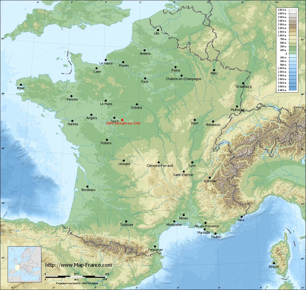
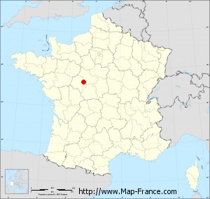
Saint-Georges-sur-Cher on the relief France map in Lambert 93 coordinates
|
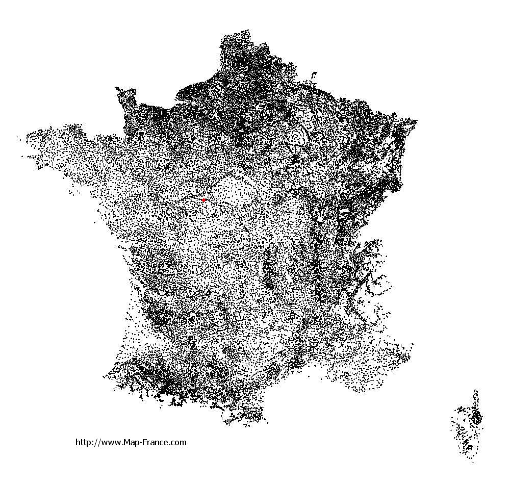
See the map of Saint-Georges-sur-Cher in full screen (1000 x 949)
|
At left, here is the location of Saint-Georges-sur-Cher on the relief France map in Lambert 93 coordinates.
Here are the altitudes of Saint-Georges-sur-Cher :
- Town hall altitude of Saint-Georges-sur-Cher is 70 meters
- Minimum altitude of Saint-Georges-sur-Cher is 56 meters
- Maximum altitude of Saint-Georges-sur-Cher is 141 meters
- Medium altitude of Saint-Georges-sur-Cher is 99 meters
Here are the altitudes of Blois, prefecture of Loir-et-Cher department:
- Town hall altitude of Blois is 100 meters
- Minimum altitude of Blois is 63 meters
- Maximum altitude of Blois is 135 meters
- Medium altitude of Blois is 99 meters
Here are the altitudes of the french biggest cities:
Paris : 33 meters
Marseille : 20 meters
Lyon : 237 meters
Toulouse : 146 meters
Nice : 10 meters
Nantes : 20 meters
Strasbourg : 144 meters
Montpellier : 35 meters
Bordeaux : 16 meters
Lille : 20 meters
Rennes : 35 meters
Reims : 83 meters
Click here for the terrain map of Saint-Georges-sur-Cher in full screen:
Relief map of Saint-Georges-sur-Cher
|
This relief map of Saint-Georges-sur-Cher is reusable and modifiable by making a link to this page of the Map-France.com website or by using the given code :
|
Terrain base map of Saint-Georges-sur-Cher
|

See the terrain base map of Saint-Georges-sur-Cher in full screen (1000 x 949)
|
Small relief base map of Saint-Georges-sur-Cher
|
This base map of Saint-Georges-sur-Cher is reusable and modifiable by making a link to this page of the Map-France.com website or by using the given code :
|
Map of Saint-Georges-sur-Cher with regions and prefectures
|
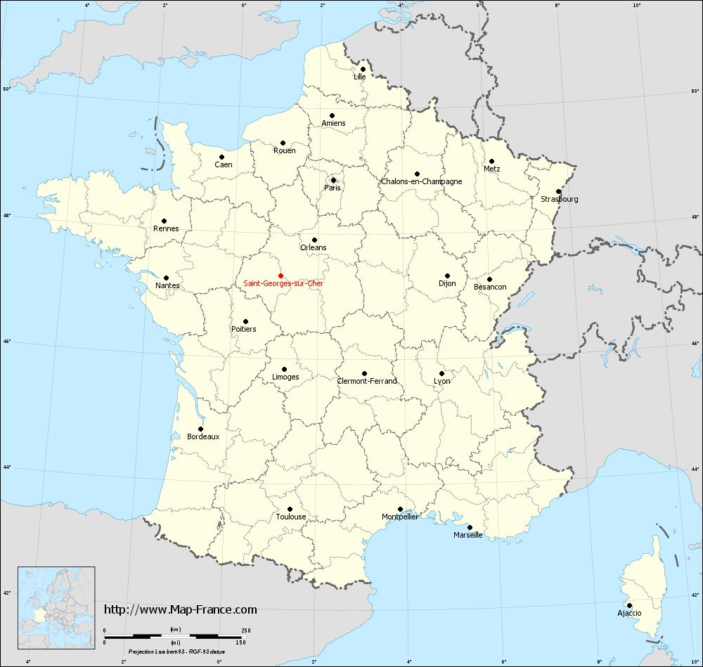
View the map of Saint-Georges-sur-Cher in full screen (1000 x 949)
|
You will find the location of Saint-Georges-sur-Cher on the map of France of regions in Lambert 93 coordinates. The city of Saint-Georges-sur-Cher is located in the department of Loir-et-Cher of the french region Centre.
Geographical sexagesimal coordinates / GPS (WGS84):
Latitude: 47° 19' 31'' North
Longitude: 01° 07' 31'' East
Geographical decimal coordinates :
Latitude: 47.324 degrees (47.324° North)
Longitude: 1.127 degrees (1.127° East)
Lambert 93 coordinates :
X: 5 584 hectometers
Y: 66 933 hectometers
Lambert 2 coordinates :
X: 5 084 hectometers
Y: 22 591 hectometers
Below, the geographical coordinates of Blois, prefecture of the Loir-et-Cher department:
Geographical sexagesimal coordinates / GPS (WGS84):
Latitude: 47° 35' 35'' North
Longitude: 01° 19' 38'' East
Geographical decimal coordinates :
Latitude: 47.589 degrees (47.589° North)
Longitude: 1.327 degrees (1.327° East)
Lambert 93 coordinates :
X: 5 743 hectometers
Y: 67 227 hectometers
Lambert 2 coordinates :
X: 5 241 hectometers
Y: 22 887 hectometers
|
This map of Saint-Georges-sur-Cher is reusable and modifiable by making a link to this page of the Map-France.com website or by using the given code :
|
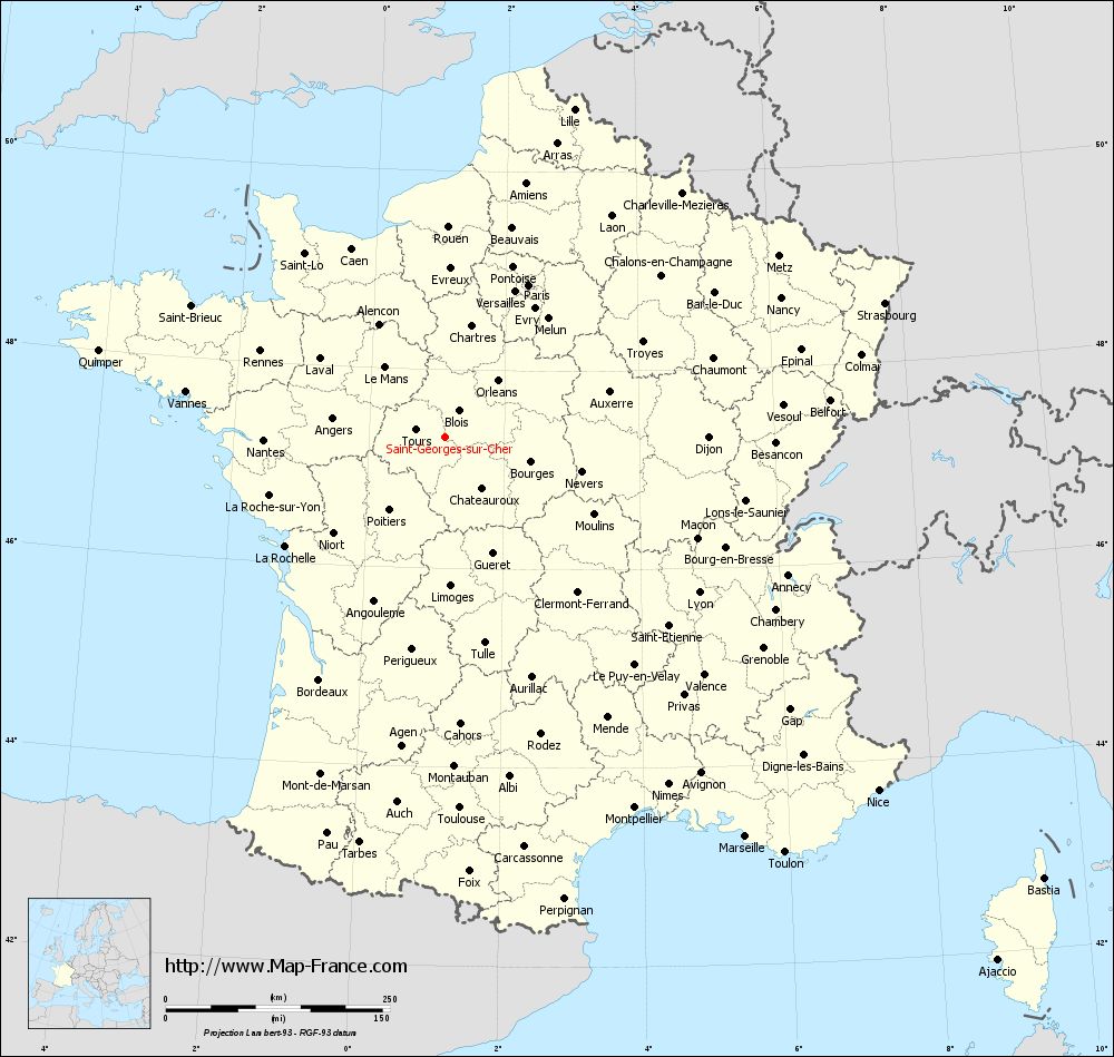
Map of Saint-Georges-sur-Cher with departments and prefectures
|
Voir la carte of Saint-Georges-sur-Cher en grand format (1000 x 949)
|
Here is the localization of Saint-Georges-sur-Cher on the France map of departments in Lambert 93 coordinates. The city of Saint-Georges-sur-Cher is shown on the map by a red point.
The city of Saint-Georges-sur-Cher is located in the department of Loir-et-Cher of the french region Centre.
The latitude of Saint-Georges-sur-Cher is 47.324 degrees North.
The longitude of Saint-Georges-sur-Cher is 1.127 degrees East.
Here the distance between Saint-Georges-sur-Cher and the biggest cities of France:
Distances are calculated as the crow flies (orthodromic distance)
Distance between Saint-Georges-sur-Cher and Paris : 193.23 kilometers
Distance between Saint-Georges-sur-Cher and Marseille : 558.01 kilometers
Distance between Saint-Georges-sur-Cher and Lyon : 332.35 kilometers
Distance between Saint-Georges-sur-Cher and Toulouse : 414.51 kilometers
Distance between Saint-Georges-sur-Cher and Nice : 623.95 kilometers
Distance between Saint-Georges-sur-Cher and Nantes : 202.43 kilometers
Distance between Saint-Georges-sur-Cher and Strasbourg : 512.57 kilometers
Distance between Saint-Georges-sur-Cher and Montpellier : 464.89 kilometers
Distance between Saint-Georges-sur-Cher and Bordeaux : 305.23 kilometers
Distance between Saint-Georges-sur-Cher and Lille : 392.82 kilometers
Distance between Saint-Georges-sur-Cher and Rennes : 227.18 kilometers
Distance between Saint-Georges-sur-Cher and Reims : 303.73 kilometers
Clic here to see the map of Saint-Georges-sur-Cher in full screen:
Saint-Georges-sur-Cher on the map of french departments
|
This administrative map of Saint-Georges-sur-Cher is reusable and modifiable by making a link to this page of the Map-France.com website or by using the given code :
|
Administrative base maps of Saint-Georges-sur-Cher
|

See the administrative base map of Saint-Georges-sur-Cher in full screen (1000 x 949)
|
Small administrative base map of Saint-Georges-sur-Cher
|
This base map administrative of Saint-Georges-sur-Cher is reusable and modifiable by making a link to this page of the Map-France.com website or by using the given code :
|
 French Version : http://www.cartesfrance.fr