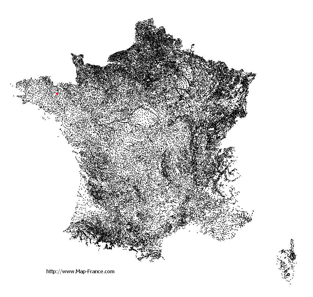
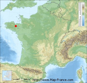
Saint-Gilles-du-Mené on the relief France map in Lambert 93 coordinates
|

See the map of Saint-Gilles-du-Mené in full screen (1000 x 949)
|
At left, here is the location of Saint-Gilles-du-Mené on the relief France map in Lambert 93 coordinates.
Here are the altitudes of Saint-Gilles-du-Mené :
- Town hall altitude of Saint-Gilles-du-Mené is 230 meters
- Minimum altitude of Saint-Gilles-du-Mené is 150 meters
- Maximum altitude of Saint-Gilles-du-Mené is 297 meters
- Medium altitude of Saint-Gilles-du-Mené is 224 meters
Here are the altitudes of Saint-Brieuc, prefecture of Côtes-d'Armor department:
- Town hall altitude of Saint-Brieuc is 100 meters
- Minimum altitude of Saint-Brieuc is 0 meters
- Maximum altitude of Saint-Brieuc is 134 meters
- Medium altitude of Saint-Brieuc is 67 meters
Here are the altitudes of the french biggest cities:
Paris : 33 meters
Marseille : 20 meters
Lyon : 237 meters
Toulouse : 146 meters
Nice : 10 meters
Nantes : 20 meters
Strasbourg : 144 meters
Montpellier : 35 meters
Bordeaux : 16 meters
Lille : 20 meters
Rennes : 35 meters
Reims : 83 meters
Click here for the terrain map of Saint-Gilles-du-Mené in full screen:
Relief map of Saint-Gilles-du-Mené
|
This relief map of Saint-Gilles-du-Mené is reusable and modifiable by making a link to this page of the Map-France.com website or by using the given code :
|
Terrain base map of Saint-Gilles-du-Mené
|

See the terrain base map of Saint-Gilles-du-Mené in full screen (1000 x 949)
|
Small relief base map of Saint-Gilles-du-Mené
|
This base map of Saint-Gilles-du-Mené is reusable and modifiable by making a link to this page of the Map-France.com website or by using the given code :
|
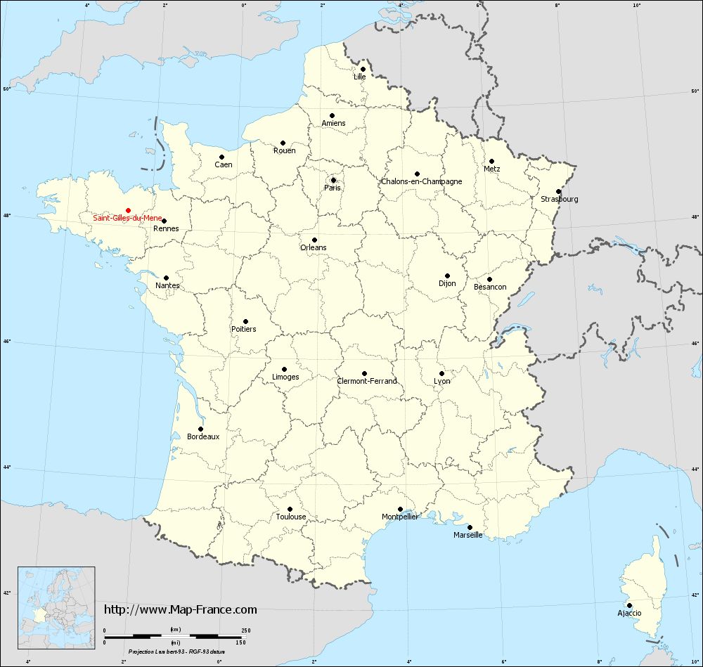
Map of Saint-Gilles-du-Mené with regions and prefectures
|
View the map of Saint-Gilles-du-Mené in full screen (1000 x 949)
|
You will find the location of Saint-Gilles-du-Mené on the map of France of regions in Lambert 93 coordinates. The town of Saint-Gilles-du-Mené is located in the department of Côtes-d'Armor of the french region Bretagne.
Geographical sexagesimal coordinates / GPS (WGS84):
Latitude: 48° 14' 53'' North
Longitude: 02° 32' 53'' West
Geographical decimal coordinates :
Latitude: 48.249 degrees (48.249° North)
Longitude: -2.546 degrees (2.546° West)
Lambert 93 coordinates :
X: 2 885 hectometers
Y: 68 086 hectometers
Lambert 2 coordinates :
X: 2 374 hectometers
Y: 23 723 hectometers
Below, the geographical coordinates of Saint-Brieuc, prefecture of the Côtes-d'Armor department:
Geographical sexagesimal coordinates / GPS (WGS84):
Latitude: 48° 30' 49'' North
Longitude: 02° 45' 37'' West
Geographical decimal coordinates :
Latitude: 48.514 degrees (48.514° North)
Longitude: -2.773 degrees (2.773° West)
Lambert 93 coordinates :
X: 2 749 hectometers
Y: 68 392 hectometers
Lambert 2 coordinates :
X: 2 236 hectometers
Y: 24 027 hectometers
|
This map of Saint-Gilles-du-Mené is reusable and modifiable by making a link to this page of the Map-France.com website or by using the given code :
|
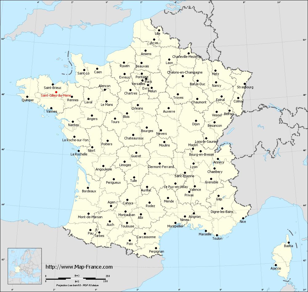
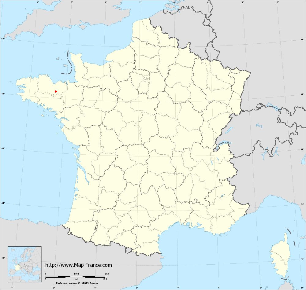
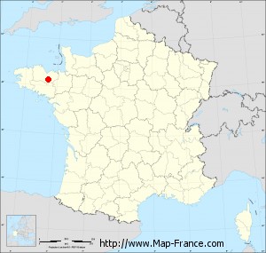
Map of Saint-Gilles-du-Mené with departments and prefectures
|
Voir la carte of Saint-Gilles-du-Mené en grand format (1000 x 949)
|
Here is the localization of Saint-Gilles-du-Mené on the France map of departments in Lambert 93 coordinates. The city of Saint-Gilles-du-Mené is shown on the map by a red point.
The town of Saint-Gilles-du-Mené is located in the department of Côtes-d'Armor of the french region Bretagne.
The latitude of Saint-Gilles-du-Mené is 48.249 degrees North.
The longitude of Saint-Gilles-du-Mené is 2.546 degrees West.
Here the distance between Saint-Gilles-du-Mené and the biggest cities of France:
Distances are calculated as the crow flies (orthodromic distance)
Distance between Saint-Gilles-du-Mené and Paris : 366.05 kilometers
Distance between Saint-Gilles-du-Mené and Marseille : 824.95 kilometers
Distance between Saint-Gilles-du-Mené and Lyon : 623.54 kilometers
Distance between Saint-Gilles-du-Mené and Toulouse : 601.65 kilometers
Distance between Saint-Gilles-du-Mené and Nice : 909.03 kilometers
Distance between Saint-Gilles-du-Mené and Nantes : 136.35 kilometers
Distance between Saint-Gilles-du-Mené and Strasbourg : 760.03 kilometers
Distance between Saint-Gilles-du-Mené and Montpellier : 715.04 kilometers
Distance between Saint-Gilles-du-Mené and Bordeaux : 407.28 kilometers
Distance between Saint-Gilles-du-Mené and Lille : 482.52 kilometers
Distance between Saint-Gilles-du-Mené and Rennes : 66.04 kilometers
Distance between Saint-Gilles-du-Mené and Reims : 494.51 kilometers
Clic here to see the map of Saint-Gilles-du-Mené in full screen:
Saint-Gilles-du-Mené on the map of french departments
|
This administrative map of Saint-Gilles-du-Mené is reusable and modifiable by making a link to this page of the Map-France.com website or by using the given code :
|
Administrative base maps of Saint-Gilles-du-Mené
|
See the administrative base map of Saint-Gilles-du-Mené in full screen (1000 x 949)
|
Small administrative base map of Saint-Gilles-du-Mené
|
This base map administrative of Saint-Gilles-du-Mené is reusable and modifiable by making a link to this page of the Map-France.com website or by using the given code :
|
 French Version : http://www.cartesfrance.fr