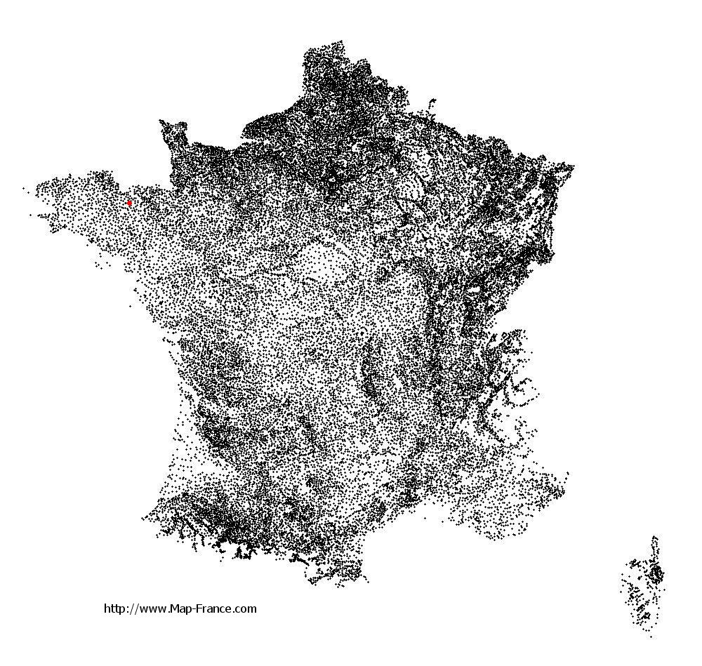
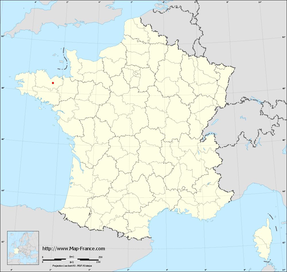
Saint-Glen on the relief France map in Lambert 93 coordinates
|

See the map of Saint-Glen in full screen (1000 x 949)
|
At left, here is the location of Saint-Glen on the relief France map in Lambert 93 coordinates.
Here are the altitudes of Saint-Glen :
- Town hall altitude of Saint-Glen is 150 meters
- Minimum altitude of Saint-Glen is 104 meters
- Maximum altitude of Saint-Glen is 311 meters
- Medium altitude of Saint-Glen is 208 meters
Here are the altitudes of Saint-Brieuc, prefecture of Côtes-d'Armor department:
- Town hall altitude of Saint-Brieuc is 100 meters
- Minimum altitude of Saint-Brieuc is 0 meters
- Maximum altitude of Saint-Brieuc is 134 meters
- Medium altitude of Saint-Brieuc is 67 meters
Here are the altitudes of the french biggest cities:
Paris : 33 meters
Marseille : 20 meters
Lyon : 237 meters
Toulouse : 146 meters
Nice : 10 meters
Nantes : 20 meters
Strasbourg : 144 meters
Montpellier : 35 meters
Bordeaux : 16 meters
Lille : 20 meters
Rennes : 35 meters
Reims : 83 meters
Click here for the terrain map of Saint-Glen in full screen:
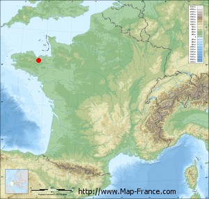
Relief map of Saint-Glen
|
This relief map of Saint-Glen is reusable and modifiable by making a link to this page of the Map-France.com website or by using the given code :
|
Terrain base map of Saint-Glen
|

See the terrain base map of Saint-Glen in full screen (1000 x 949)
|
Small relief base map of Saint-Glen
|
This base map of Saint-Glen is reusable and modifiable by making a link to this page of the Map-France.com website or by using the given code :
|
Map of Saint-Glen with regions and prefectures
|
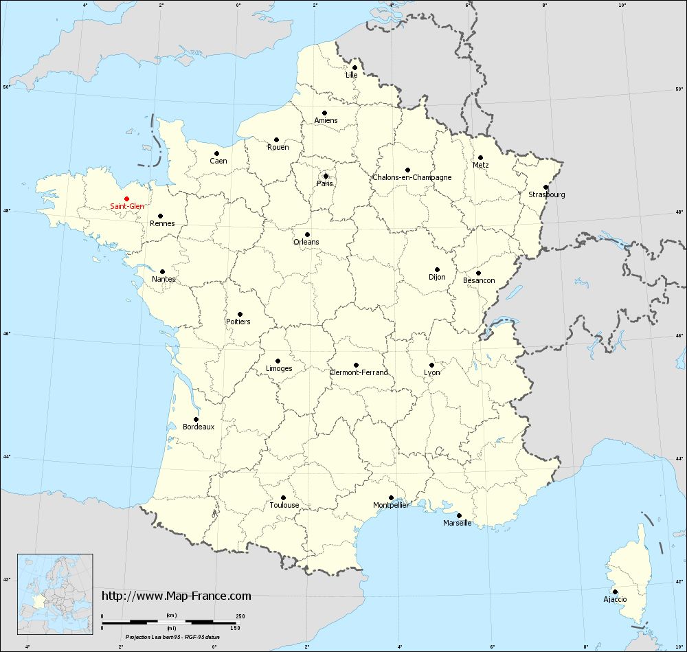
View the map of Saint-Glen in full screen (1000 x 949)
|
You will find the location of Saint-Glen on the map of France of regions in Lambert 93 coordinates. The town of Saint-Glen is located in the department of Côtes-d'Armor of the french region Bretagne.
Geographical sexagesimal coordinates / GPS (WGS84):
Latitude: 48° 21' 34'' North
Longitude: 02° 31' 24'' West
Geographical decimal coordinates :
Latitude: 48.36 degrees (48.36° North)
Longitude: -2.523 degrees (2.523° West)
Lambert 93 coordinates :
X: 2 912 hectometers
Y: 68 209 hectometers
Lambert 2 coordinates :
X: 2 400 hectometers
Y: 23 845 hectometers
Below, the geographical coordinates of Saint-Brieuc, prefecture of the Côtes-d'Armor department:
Geographical sexagesimal coordinates / GPS (WGS84):
Latitude: 48° 30' 49'' North
Longitude: 02° 45' 37'' West
Geographical decimal coordinates :
Latitude: 48.514 degrees (48.514° North)
Longitude: -2.773 degrees (2.773° West)
Lambert 93 coordinates :
X: 2 749 hectometers
Y: 68 392 hectometers
Lambert 2 coordinates :
X: 2 236 hectometers
Y: 24 027 hectometers
|
This map of Saint-Glen is reusable and modifiable by making a link to this page of the Map-France.com website or by using the given code :
|
Map of Saint-Glen with departments and prefectures
|
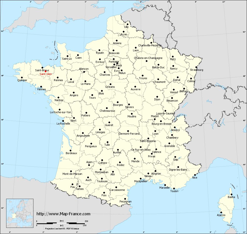
Voir la carte of Saint-Glen en grand format (1000 x 949)
|
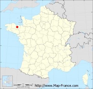
Here is the localization of Saint-Glen on the France map of departments in Lambert 93 coordinates. The city of Saint-Glen is shown on the map by a red point.
The town of Saint-Glen is located in the department of Côtes-d'Armor of the french region Bretagne.
The latitude of Saint-Glen is 48.36 degrees North.
The longitude of Saint-Glen is 2.523 degrees West.
Here the distance between Saint-Glen and the biggest cities of France:
Distances are calculated as the crow flies (orthodromic distance)
Distance between Saint-Glen and Paris : 361.93 kilometers
Distance between Saint-Glen and Marseille : 831.44 kilometers
Distance between Saint-Glen and Lyon : 627.04 kilometers
Distance between Saint-Glen and Toulouse : 611.21 kilometers
Distance between Saint-Glen and Nice : 913.82 kilometers
Distance between Saint-Glen and Nantes : 145.95 kilometers
Distance between Saint-Glen and Strasbourg : 757.02 kilometers
Distance between Saint-Glen and Montpellier : 722.41 kilometers
Distance between Saint-Glen and Bordeaux : 418.07 kilometers
Distance between Saint-Glen and Lille : 474.12 kilometers
Distance between Saint-Glen and Rennes : 68.39 kilometers
Distance between Saint-Glen and Reims : 489.72 kilometers
Clic here to see the map of Saint-Glen in full screen:
Saint-Glen on the map of french departments
|
This administrative map of Saint-Glen is reusable and modifiable by making a link to this page of the Map-France.com website or by using the given code :
|
Administrative base maps of Saint-Glen
|
See the administrative base map of Saint-Glen in full screen (1000 x 949)
|
Small administrative base map of Saint-Glen
|
This base map administrative of Saint-Glen is reusable and modifiable by making a link to this page of the Map-France.com website or by using the given code :
|
 French Version : http://www.cartesfrance.fr