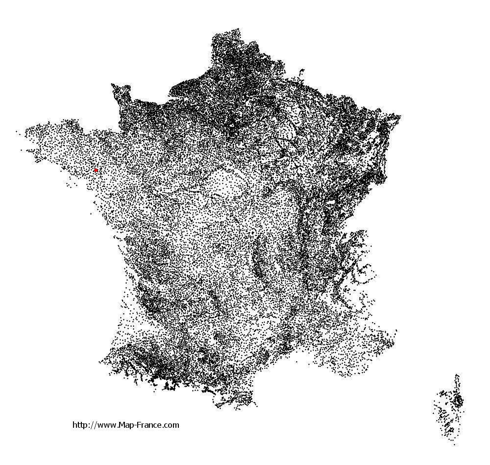
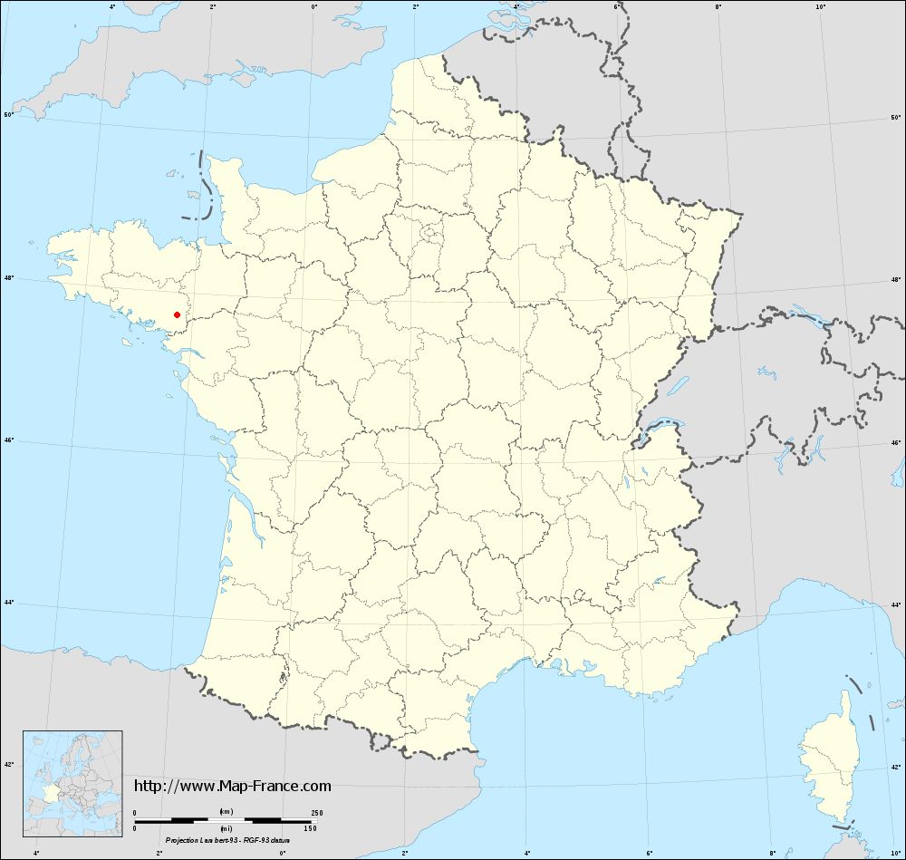
Saint-Gravé on the relief France map in Lambert 93 coordinates
|

See the map of Saint-Gravé in full screen (1000 x 949)
|
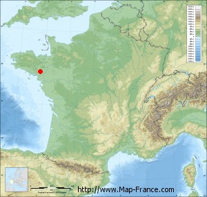
At left, here is the location of Saint-Gravé on the relief France map in Lambert 93 coordinates.
Here are the altitudes of Saint-Gravé :
- Town hall altitude of Saint-Gravé is 79 meters
- Minimum altitude of Saint-Gravé is 2 meters
- Maximum altitude of Saint-Gravé is 91 meters
- Medium altitude of Saint-Gravé is 47 meters
Here are the altitudes of Vannes, prefecture of Morbihan department:
- Town hall altitude of Vannes is 10 meters
- Minimum altitude of Vannes is 0 meters
- Maximum altitude of Vannes is 56 meters
- Medium altitude of Vannes is 28 meters
Here are the altitudes of the french biggest cities:
Paris : 33 meters
Marseille : 20 meters
Lyon : 237 meters
Toulouse : 146 meters
Nice : 10 meters
Nantes : 20 meters
Strasbourg : 144 meters
Montpellier : 35 meters
Bordeaux : 16 meters
Lille : 20 meters
Rennes : 35 meters
Reims : 83 meters
Click here for the terrain map of Saint-Gravé in full screen:
Relief map of Saint-Gravé
|
This relief map of Saint-Gravé is reusable and modifiable by making a link to this page of the Map-France.com website or by using the given code :
|
Terrain base map of Saint-Gravé
|

See the terrain base map of Saint-Gravé in full screen (1000 x 949)
|
Small relief base map of Saint-Gravé
|
This base map of Saint-Gravé is reusable and modifiable by making a link to this page of the Map-France.com website or by using the given code :
|
Map of Saint-Gravé with regions and prefectures
|
View the map of Saint-Gravé in full screen (1000 x 949)
|
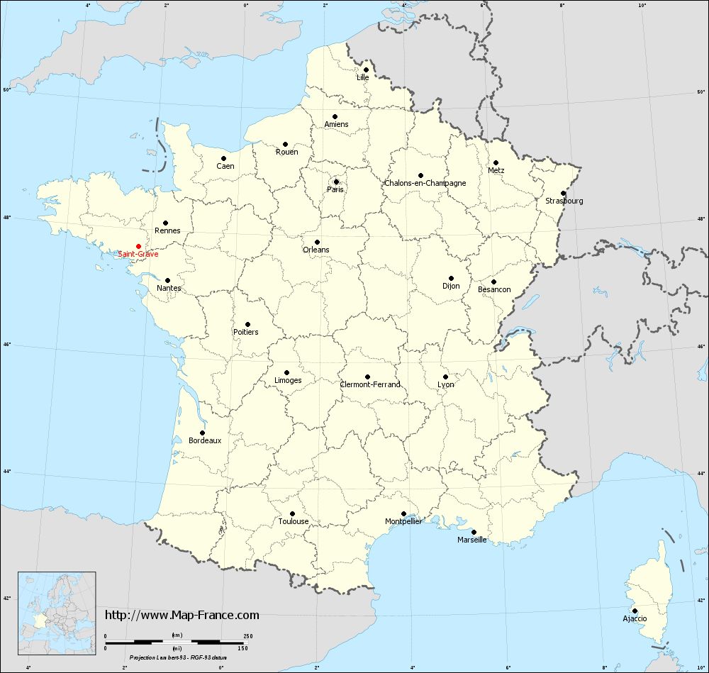
You will find the location of Saint-Gravé on the map of France of regions in Lambert 93 coordinates. The town of Saint-Gravé is located in the department of Morbihan of the french region Bretagne.
Geographical sexagesimal coordinates / GPS (WGS84):
Latitude: 47° 43' 33'' North
Longitude: 02° 16' 51'' West
Geographical decimal coordinates :
Latitude: 47.726 degrees (47.726° North)
Longitude: -2.277 degrees (2.277° West)
Lambert 93 coordinates :
X: 3 044 hectometers
Y: 67 494 hectometers
Lambert 2 coordinates :
X: 2 538 hectometers
Y: 23 131 hectometers
Below, the geographical coordinates of Vannes, prefecture of the Morbihan department:
Geographical sexagesimal coordinates / GPS (WGS84):
Latitude: 47° 39' 18'' North
Longitude: 02° 45' 42'' West
Geographical decimal coordinates :
Latitude: 47.655 degrees (47.655° North)
Longitude: -2.761 degrees (2.761° West)
Lambert 93 coordinates :
X: 2 679 hectometers
Y: 67 441 hectometers
Lambert 2 coordinates :
X: 2 173 hectometers
Y: 23 075 hectometers
|
This map of Saint-Gravé is reusable and modifiable by making a link to this page of the Map-France.com website or by using the given code :
|
Map of Saint-Gravé with departments and prefectures
|
Voir la carte of Saint-Gravé en grand format (1000 x 949)
|
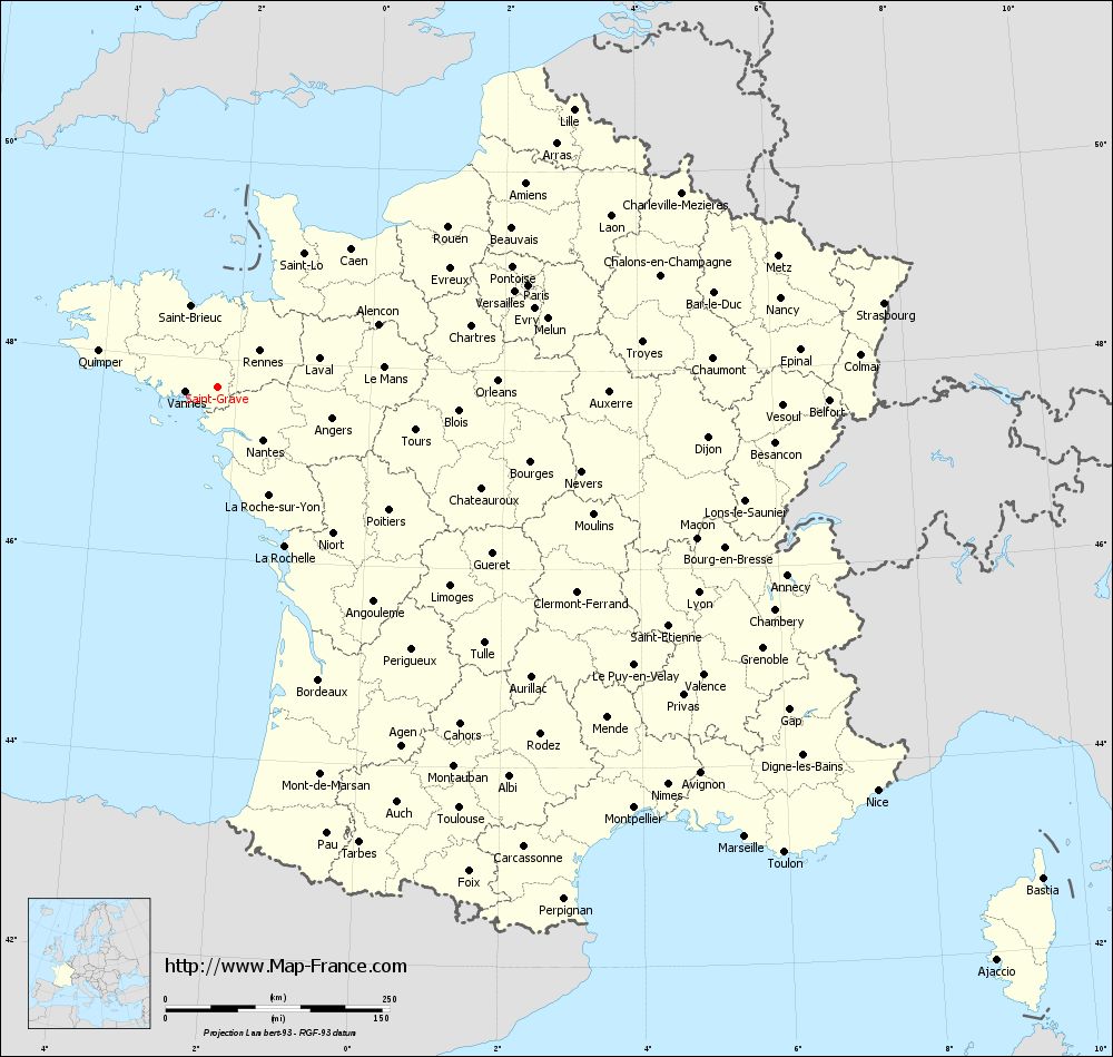
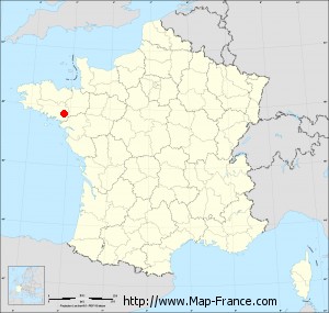
Here is the localization of Saint-Gravé on the France map of departments in Lambert 93 coordinates. The city of Saint-Gravé is shown on the map by a red point.
The town of Saint-Gravé is located in the department of Morbihan of the french region Bretagne.
The latitude of Saint-Gravé is 47.726 degrees North.
The longitude of Saint-Gravé is 2.277 degrees West.
Here the distance between Saint-Gravé and the biggest cities of France:
Distances are calculated as the crow flies (orthodromic distance)
Distance between Saint-Gravé and Paris : 364.22 kilometers
Distance between Saint-Gravé and Marseille : 773.52 kilometers
Distance between Saint-Gravé and Lyon : 583.63 kilometers
Distance between Saint-Gravé and Toulouse : 541.97 kilometers
Distance between Saint-Gravé and Nice : 863.45 kilometers
Distance between Saint-Gravé and Nantes : 78.22 kilometers
Distance between Saint-Gravé and Strasbourg : 749.23 kilometers
Distance between Saint-Gravé and Montpellier : 660.93 kilometers
Distance between Saint-Gravé and Bordeaux : 345.89 kilometers
Distance between Saint-Gravé and Lille : 503.2 kilometers
Distance between Saint-Gravé and Rennes : 61.49 kilometers
Distance between Saint-Gravé and Reims : 494.58 kilometers
Clic here to see the map of Saint-Gravé in full screen:
Saint-Gravé on the map of french departments
|
This administrative map of Saint-Gravé is reusable and modifiable by making a link to this page of the Map-France.com website or by using the given code :
|
Administrative base maps of Saint-Gravé
|
See the administrative base map of Saint-Gravé in full screen (1000 x 949)
|
Small administrative base map of Saint-Gravé
|
This base map administrative of Saint-Gravé is reusable and modifiable by making a link to this page of the Map-France.com website or by using the given code :
|
 French Version : http://www.cartesfrance.fr