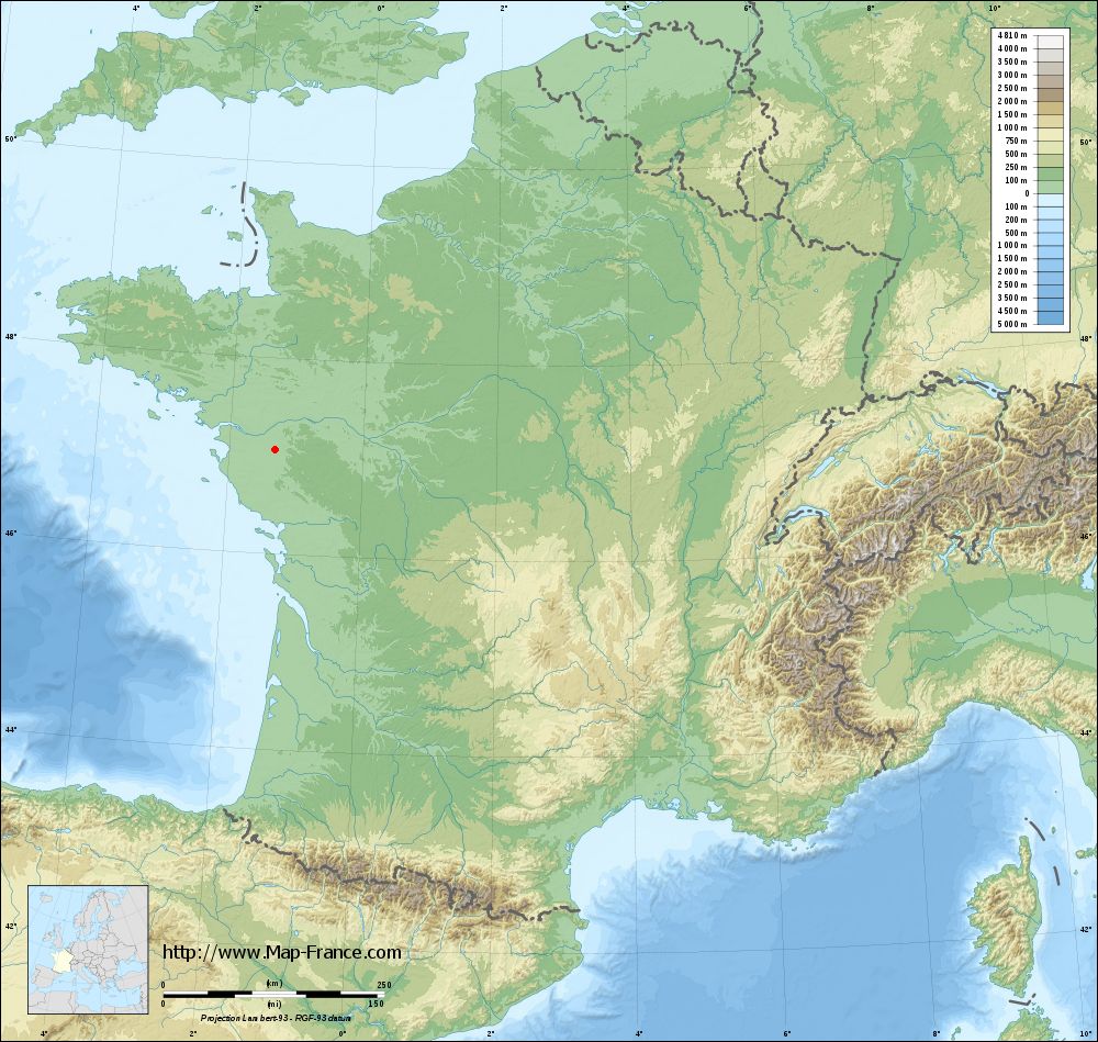
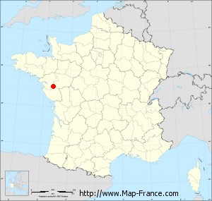
Saint-Hilaire-de-Clisson on the relief France map in Lambert 93 coordinates
|

See the map of Saint-Hilaire-de-Clisson in full screen (1000 x 949)
|
At left, here is the location of Saint-Hilaire-de-Clisson on the relief France map in Lambert 93 coordinates.
Here are the altitudes of Saint-Hilaire-de-Clisson :
- Town hall altitude of Saint-Hilaire-de-Clisson is 43 meters
- Minimum altitude of Saint-Hilaire-de-Clisson is 22 meters
- Maximum altitude of Saint-Hilaire-de-Clisson is 54 meters
- Medium altitude of Saint-Hilaire-de-Clisson is 38 meters
Here are the altitudes of Nantes, prefecture of Loire-Atlantique department:
- Town hall altitude of Nantes is 20 meters
- Minimum altitude of Nantes is 2 meters
- Maximum altitude of Nantes is 52 meters
- Medium altitude of Nantes is 27 meters
Here are the altitudes of the french biggest cities:
Paris : 33 meters
Marseille : 20 meters
Lyon : 237 meters
Toulouse : 146 meters
Nice : 10 meters
Nantes : 20 meters
Strasbourg : 144 meters
Montpellier : 35 meters
Bordeaux : 16 meters
Lille : 20 meters
Rennes : 35 meters
Reims : 83 meters
Click here for the terrain map of Saint-Hilaire-de-Clisson in full screen:
Relief map of Saint-Hilaire-de-Clisson
|
This relief map of Saint-Hilaire-de-Clisson is reusable and modifiable by making a link to this page of the Map-France.com website or by using the given code :
|
Terrain base map of Saint-Hilaire-de-Clisson
|
See the terrain base map of Saint-Hilaire-de-Clisson in full screen (1000 x 949)
|
Small relief base map of Saint-Hilaire-de-Clisson
|
This base map of Saint-Hilaire-de-Clisson is reusable and modifiable by making a link to this page of the Map-France.com website or by using the given code :
|
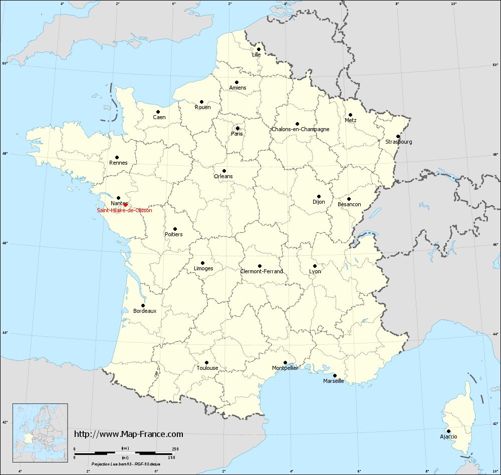
Map of Saint-Hilaire-de-Clisson with regions and prefectures
|
View the map of Saint-Hilaire-de-Clisson in full screen (1000 x 949)
|
You will find the location of Saint-Hilaire-de-Clisson on the map of France of regions in Lambert 93 coordinates. The town of Saint-Hilaire-de-Clisson is located in the department of Loire-Atlantique of the french region Pays de la Loire.
Geographical sexagesimal coordinates / GPS (WGS84):
Latitude: 47° 03' 44'' North
Longitude: 01° 18' 34'' West
Geographical decimal coordinates :
Latitude: 47.06 degrees (47.06° North)
Longitude: -1.306 degrees (1.306° West)
Lambert 93 coordinates :
X: 3 731 hectometers
Y: 66 714 hectometers
Lambert 2 coordinates :
X: 3 231 hectometers
Y: 22 356 hectometers
Below, the geographical coordinates of Nantes, prefecture of the Loire-Atlantique department:
Geographical sexagesimal coordinates / GPS (WGS84):
Latitude: 47° 13' 02'' North
Longitude: 01° 33' 14'' West
Geographical decimal coordinates :
Latitude: 47.219 degrees (47.219° North)
Longitude: -1.554 degrees (1.554° West)
Lambert 93 coordinates :
X: 3 555 hectometers
Y: 66 896 hectometers
Lambert 2 coordinates :
X: 3 055 hectometers
Y: 22 537 hectometers
|
This map of Saint-Hilaire-de-Clisson is reusable and modifiable by making a link to this page of the Map-France.com website or by using the given code :
|
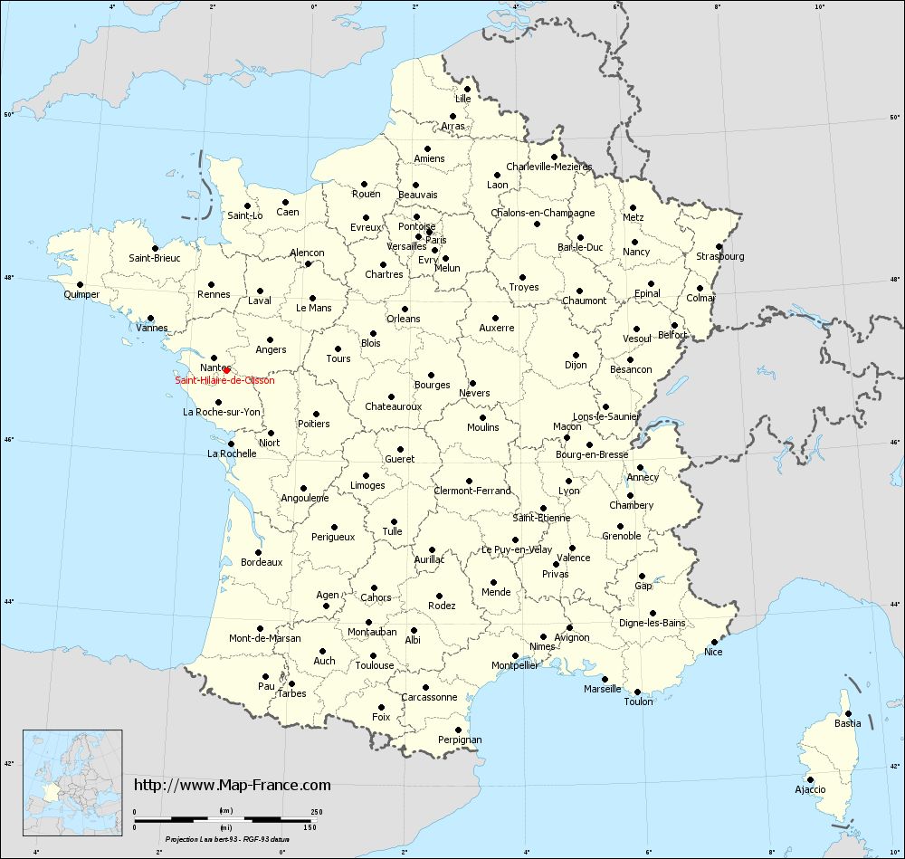
Map of Saint-Hilaire-de-Clisson with departments and prefectures
|
Voir la carte of Saint-Hilaire-de-Clisson en grand format (1000 x 949)
|
Here is the localization of Saint-Hilaire-de-Clisson on the France map of departments in Lambert 93 coordinates. The city of Saint-Hilaire-de-Clisson is shown on the map by a red point.
The town of Saint-Hilaire-de-Clisson is located in the department of Loire-Atlantique of the french region Pays de la Loire.
The latitude of Saint-Hilaire-de-Clisson is 47.06 degrees North.
The longitude of Saint-Hilaire-de-Clisson is 1.306 degrees West.
Here the distance between Saint-Hilaire-de-Clisson and the biggest cities of France:
Distances are calculated as the crow flies (orthodromic distance)
Distance between Saint-Hilaire-de-Clisson and Paris : 337.4 kilometers
Distance between Saint-Hilaire-de-Clisson and Marseille : 670.83 kilometers
Distance between Saint-Hilaire-de-Clisson and Lyon : 491.98 kilometers
Distance between Saint-Hilaire-de-Clisson and Toulouse : 440.53 kilometers
Distance between Saint-Hilaire-de-Clisson and Nice : 764.87 kilometers
Distance between Saint-Hilaire-de-Clisson and Nantes : 25.76 kilometers
Distance between Saint-Hilaire-de-Clisson and Strasbourg : 696.49 kilometers
Distance between Saint-Hilaire-de-Clisson and Montpellier : 557.2 kilometers
Distance between Saint-Hilaire-de-Clisson and Bordeaux : 252.68 kilometers
Distance between Saint-Hilaire-de-Clisson and Lille : 508.15 kilometers
Distance between Saint-Hilaire-de-Clisson and Rennes : 119.77 kilometers
Distance between Saint-Hilaire-de-Clisson and Reims : 464.77 kilometers
Clic here to see the map of Saint-Hilaire-de-Clisson in full screen:
Saint-Hilaire-de-Clisson on the map of french departments
|
This administrative map of Saint-Hilaire-de-Clisson is reusable and modifiable by making a link to this page of the Map-France.com website or by using the given code :
|
Administrative base maps of Saint-Hilaire-de-Clisson
|

See the administrative base map of Saint-Hilaire-de-Clisson in full screen (1000 x 949)
|
Small administrative base map of Saint-Hilaire-de-Clisson
|
This base map administrative of Saint-Hilaire-de-Clisson is reusable and modifiable by making a link to this page of the Map-France.com website or by using the given code :
|
 French Version : http://www.cartesfrance.fr