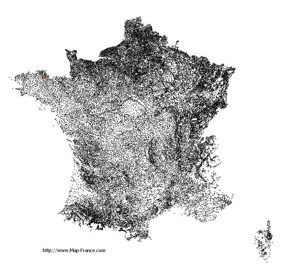
Saint-Jean-Kerdaniel on the relief France map in Lambert 93 coordinates
|

See the map of Saint-Jean-Kerdaniel in full screen (1000 x 949)
|
At left, here is the location of Saint-Jean-Kerdaniel on the relief France map in Lambert 93 coordinates.
Here are the altitudes of Saint-Jean-Kerdaniel :
- Town hall altitude of Saint-Jean-Kerdaniel is 120 meters
- Minimum altitude of Saint-Jean-Kerdaniel is 102 meters
- Maximum altitude of Saint-Jean-Kerdaniel is 174 meters
- Medium altitude of Saint-Jean-Kerdaniel is 138 meters
Here are the altitudes of Saint-Brieuc, prefecture of Côtes-d'Armor department:
- Town hall altitude of Saint-Brieuc is 100 meters
- Minimum altitude of Saint-Brieuc is 0 meters
- Maximum altitude of Saint-Brieuc is 134 meters
- Medium altitude of Saint-Brieuc is 67 meters
Here are the altitudes of the french biggest cities:
Paris : 33 meters
Marseille : 20 meters
Lyon : 237 meters
Toulouse : 146 meters
Nice : 10 meters
Nantes : 20 meters
Strasbourg : 144 meters
Montpellier : 35 meters
Bordeaux : 16 meters
Lille : 20 meters
Rennes : 35 meters
Reims : 83 meters
Click here for the terrain map of Saint-Jean-Kerdaniel in full screen:
Relief map of Saint-Jean-Kerdaniel
|
This relief map of Saint-Jean-Kerdaniel is reusable and modifiable by making a link to this page of the Map-France.com website or by using the given code :
|
Terrain base map of Saint-Jean-Kerdaniel
|

See the terrain base map of Saint-Jean-Kerdaniel in full screen (1000 x 949)
|
Small relief base map of Saint-Jean-Kerdaniel

|
This base map of Saint-Jean-Kerdaniel is reusable and modifiable by making a link to this page of the Map-France.com website or by using the given code :
|
Map of Saint-Jean-Kerdaniel with regions and prefectures
|
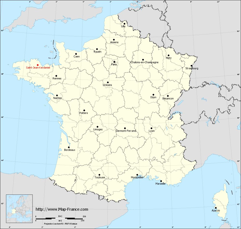
View the map of Saint-Jean-Kerdaniel in full screen (1000 x 949)
|
You will find the location of Saint-Jean-Kerdaniel on the map of France of regions in Lambert 93 coordinates. The town of Saint-Jean-Kerdaniel is located in the department of Côtes-d'Armor of the french region Bretagne.
Geographical sexagesimal coordinates / GPS (WGS84):
Latitude: 48° 33' 55'' North
Longitude: 03° 01' 17'' West
Geographical decimal coordinates :
Latitude: 48.564 degrees (48.564° North)
Longitude: -3.021 degrees (3.021° West)
Lambert 93 coordinates :
X: 2 562 hectometers
Y: 68 464 hectometers
Lambert 2 coordinates :
X: 2 047 hectometers
Y: 24 098 hectometers
Below, the geographical coordinates of Saint-Brieuc, prefecture of the Côtes-d'Armor department:
Geographical sexagesimal coordinates / GPS (WGS84):
Latitude: 48° 30' 49'' North
Longitude: 02° 45' 37'' West
Geographical decimal coordinates :
Latitude: 48.514 degrees (48.514° North)
Longitude: -2.773 degrees (2.773° West)
Lambert 93 coordinates :
X: 2 749 hectometers
Y: 68 392 hectometers
Lambert 2 coordinates :
X: 2 236 hectometers
Y: 24 027 hectometers
|
This map of Saint-Jean-Kerdaniel is reusable and modifiable by making a link to this page of the Map-France.com website or by using the given code :
|
Map of Saint-Jean-Kerdaniel with departments and prefectures
|
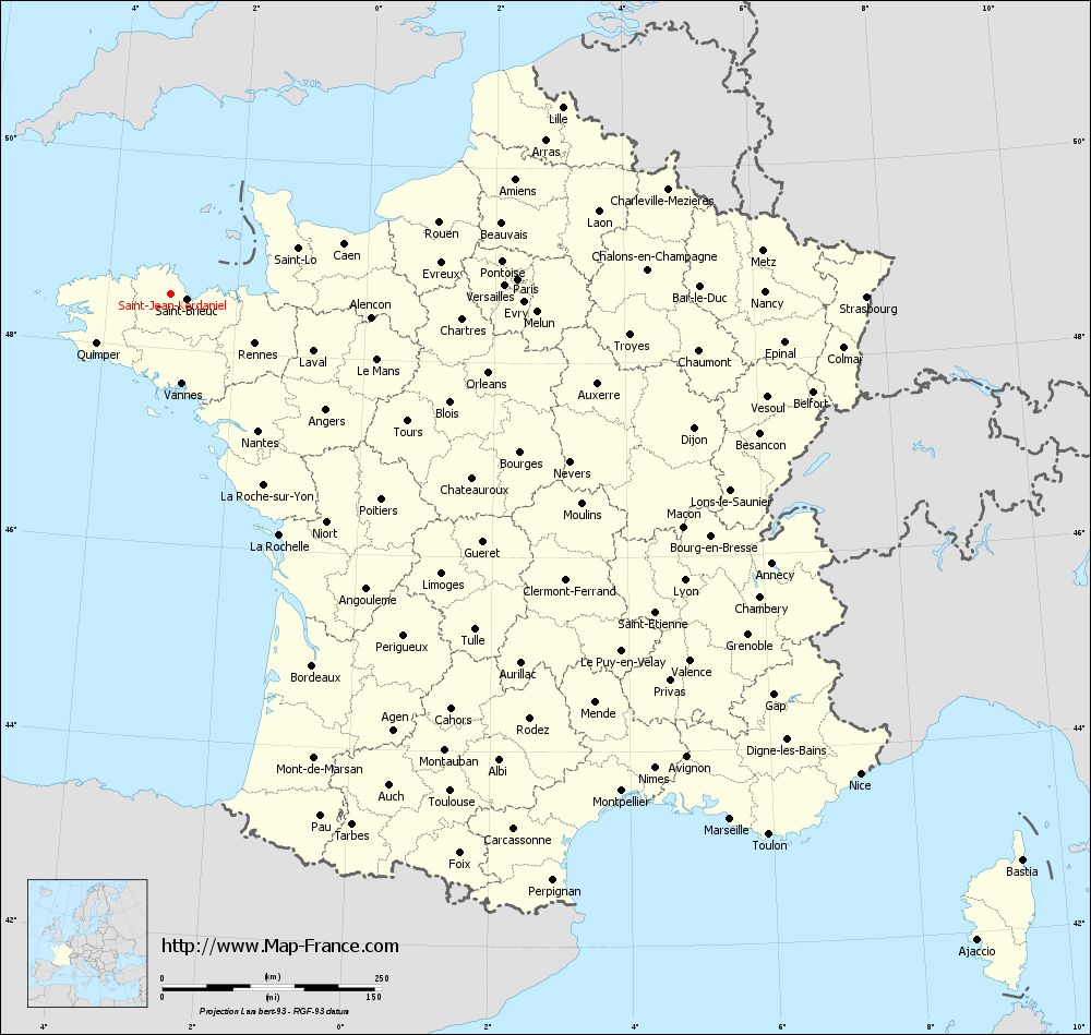
Voir la carte of Saint-Jean-Kerdaniel en grand format (1000 x 949)
|
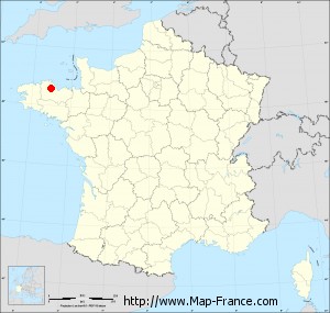
Here is the localization of Saint-Jean-Kerdaniel on the France map of departments in Lambert 93 coordinates. The city of Saint-Jean-Kerdaniel is shown on the map by a red point.
The town of Saint-Jean-Kerdaniel is located in the department of Côtes-d'Armor of the french region Bretagne.
The latitude of Saint-Jean-Kerdaniel is 48.564 degrees North.
The longitude of Saint-Jean-Kerdaniel is 3.021 degrees West.
Here the distance between Saint-Jean-Kerdaniel and the biggest cities of France:
Distances are calculated as the crow flies (orthodromic distance)
Distance between Saint-Jean-Kerdaniel and Paris : 394.73 kilometers
Distance between Saint-Jean-Kerdaniel and Marseille : 874.18 kilometers
Distance between Saint-Jean-Kerdaniel and Lyon : 669.82 kilometers
Distance between Saint-Jean-Kerdaniel and Toulouse : 650.07 kilometers
Distance between Saint-Jean-Kerdaniel and Nice : 956.92 kilometers
Distance between Saint-Jean-Kerdaniel and Nantes : 185.13 kilometers
Distance between Saint-Jean-Kerdaniel and Strasbourg : 791.58 kilometers
Distance between Saint-Jean-Kerdaniel and Montpellier : 764.54 kilometers
Distance between Saint-Jean-Kerdaniel and Bordeaux : 453.44 kilometers
Distance between Saint-Jean-Kerdaniel and Lille : 493.14 kilometers
Distance between Saint-Jean-Kerdaniel and Rennes : 111.24 kilometers
Distance between Saint-Jean-Kerdaniel and Reims : 520.51 kilometers
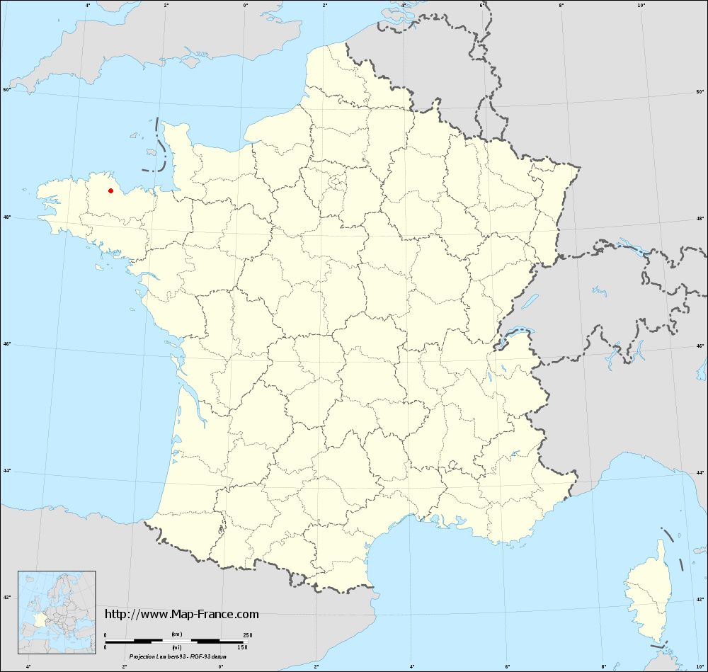
Clic here to see the map of Saint-Jean-Kerdaniel in full screen:
Saint-Jean-Kerdaniel on the map of french departments
|
This administrative map of Saint-Jean-Kerdaniel is reusable and modifiable by making a link to this page of the Map-France.com website or by using the given code :
|
Administrative base maps of Saint-Jean-Kerdaniel
|
See the administrative base map of Saint-Jean-Kerdaniel in full screen (1000 x 949)
|
Small administrative base map of Saint-Jean-Kerdaniel
|
This base map administrative of Saint-Jean-Kerdaniel is reusable and modifiable by making a link to this page of the Map-France.com website or by using the given code :
|
 French Version : http://www.cartesfrance.fr