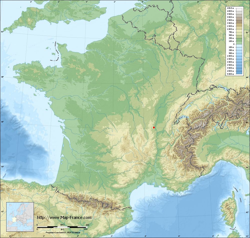
Saint-Julien on the relief France map in Lambert 93 coordinates
|

See the map of Saint-Julien in full screen (1000 x 949)
|
At left, here is the location of Saint-Julien on the relief France map in Lambert 93 coordinates.
Here are the altitudes of Saint-Julien :
- Town hall altitude of Saint-Julien is 260 meters
- Minimum altitude of Saint-Julien is 204 meters
- Maximum altitude of Saint-Julien is 502 meters
- Medium altitude of Saint-Julien is 353 meters
Here are the altitudes of Lyon, prefecture of Rhône department:
- Town hall altitude of Lyon is 166 meters
- Minimum altitude of Lyon is 162 meters
- Maximum altitude of Lyon is 312 meters
- Medium altitude of Lyon is 237 meters
Here are the altitudes of the french biggest cities:
Paris : 33 meters
Marseille : 20 meters
Lyon : 237 meters
Toulouse : 146 meters
Nice : 10 meters
Nantes : 20 meters
Strasbourg : 144 meters
Montpellier : 35 meters
Bordeaux : 16 meters
Lille : 20 meters
Rennes : 35 meters
Reims : 83 meters
Click here for the terrain map of Saint-Julien in full screen:
Relief map of Saint-Julien
|
This relief map of Saint-Julien is reusable and modifiable by making a link to this page of the Map-France.com website or by using the given code :
|
Terrain base map of Saint-Julien
|
See the terrain base map of Saint-Julien in full screen (1000 x 949)
|
Small relief base map of Saint-Julien

|
This base map of Saint-Julien is reusable and modifiable by making a link to this page of the Map-France.com website or by using the given code :
|
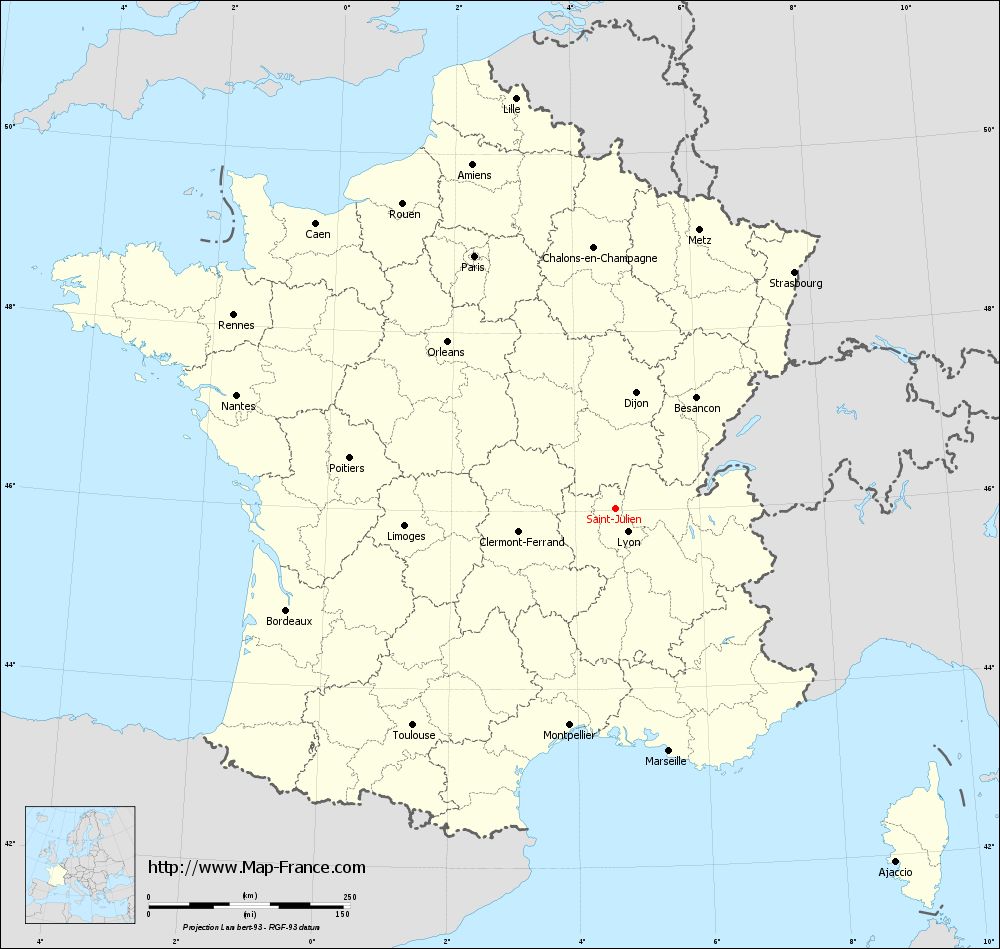
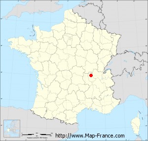
Map of Saint-Julien with regions and prefectures
|
View the map of Saint-Julien in full screen (1000 x 949)
|
You will find the location of Saint-Julien on the map of France of regions in Lambert 93 coordinates. The town of Saint-Julien is located in the department of Rhône of the french region Rhône-Alpes.
Geographical sexagesimal coordinates / GPS (WGS84):
Latitude: 46° 01' 34'' North
Longitude: 04° 39' 08'' East
Geographical decimal coordinates :
Latitude: 46.028 degrees (46.028° North)
Longitude: 4.651 degrees (4.651° East)
Lambert 93 coordinates :
X: 8 278 hectometers
Y: 65 487 hectometers
Lambert 2 coordinates :
X: 7 793 hectometers
Y: 21 166 hectometers
Below, the geographical coordinates of Lyon, prefecture of the Rhône department:
Geographical sexagesimal coordinates / GPS (WGS84):
Latitude: 45° 45' 32'' North
Longitude: 04° 50' 29'' East
Geographical decimal coordinates :
Latitude: 45.76 degrees (45.76° North)
Longitude: 4.835 degrees (4.835° East)
Lambert 93 coordinates :
X: 8 431 hectometers
Y: 65 194 hectometers
Lambert 2 coordinates :
X: 7 948 hectometers
Y: 20 874 hectometers
|
This map of Saint-Julien is reusable and modifiable by making a link to this page of the Map-France.com website or by using the given code :
|
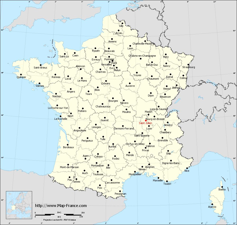
Map of Saint-Julien with departments and prefectures
|
Voir la carte of Saint-Julien en grand format (1000 x 949)
|
Here is the localization of Saint-Julien on the France map of departments in Lambert 93 coordinates. The city of Saint-Julien is shown on the map by a red point.
The town of Saint-Julien is located in the department of Rhône of the french region Rhône-Alpes.
The latitude of Saint-Julien is 46.028 degrees North.
The longitude of Saint-Julien is 4.651 degrees East.
Here the distance between Saint-Julien and the biggest cities of France:
Distances are calculated as the crow flies (orthodromic distance)
Distance between Saint-Julien and Paris : 359.2 kilometers
Distance between Saint-Julien and Marseille : 309.09 kilometers
Distance between Saint-Julien and Lyon : 33.02 kilometers
Distance between Saint-Julien and Toulouse : 369.28 kilometers
Distance between Saint-Julien and Nice : 329.87 kilometers
Distance between Saint-Julien and Nantes : 491.46 kilometers
Distance between Saint-Julien and Strasbourg : 367.89 kilometers
Distance between Saint-Julien and Montpellier : 275.66 kilometers
Distance between Saint-Julien and Bordeaux : 428.08 kilometers
Distance between Saint-Julien and Lille : 524.65 kilometers
Distance between Saint-Julien and Rennes : 531.71 kilometers
Distance between Saint-Julien and Reims : 361.85 kilometers
Clic here to see the map of Saint-Julien in full screen:
Saint-Julien on the map of french departments
|
This administrative map of Saint-Julien is reusable and modifiable by making a link to this page of the Map-France.com website or by using the given code :
|
Administrative base maps of Saint-Julien
|

See the administrative base map of Saint-Julien in full screen (1000 x 949)
|
Small administrative base map of Saint-Julien
|
This base map administrative of Saint-Julien is reusable and modifiable by making a link to this page of the Map-France.com website or by using the given code :
|
 French Version : http://www.cartesfrance.fr