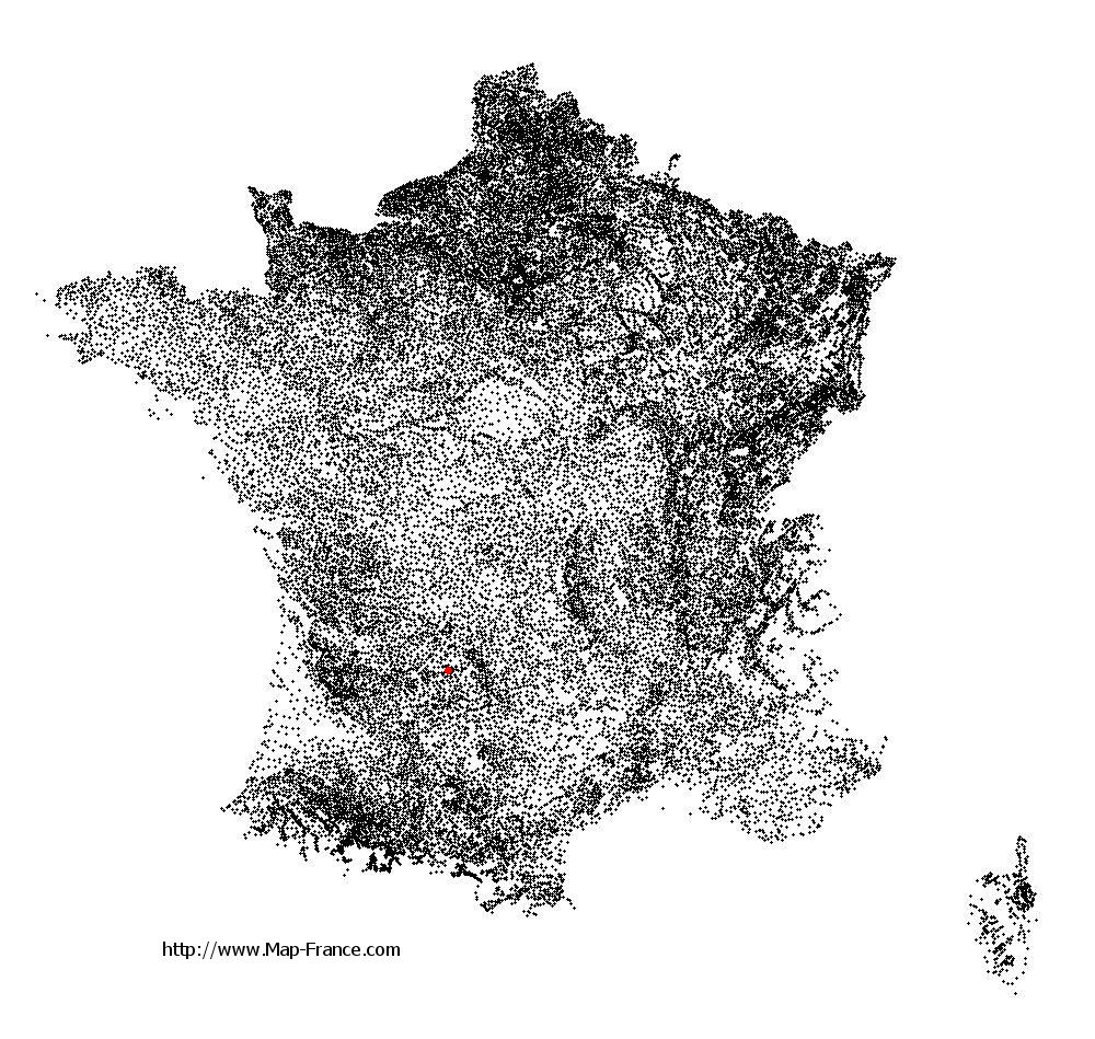
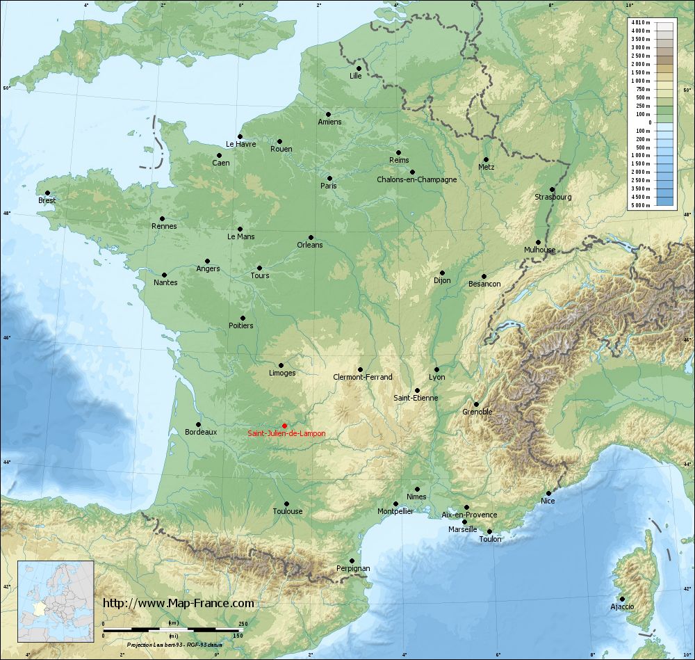
Saint-Julien-de-Lampon on the relief France map in Lambert 93 coordinates
|
See the map of Saint-Julien-de-Lampon in full screen (1000 x 949)
|
At left, here is the location of Saint-Julien-de-Lampon on the relief France map in Lambert 93 coordinates.
Here are the altitudes of Saint-Julien-de-Lampon :
- Town hall altitude of Saint-Julien-de-Lampon is 89 meters
- Minimum altitude of Saint-Julien-de-Lampon is 62 meters
- Maximum altitude of Saint-Julien-de-Lampon is 252 meters
- Medium altitude of Saint-Julien-de-Lampon is 157 meters
Here are the altitudes of Périgueux, prefecture of Dordogne department:
- Town hall altitude of Périgueux is 90 meters
- Minimum altitude of Périgueux is 75 meters
- Maximum altitude of Périgueux is 189 meters
- Medium altitude of Périgueux is 132 meters
Here are the altitudes of the french biggest cities:
Paris : 33 meters
Marseille : 20 meters
Lyon : 237 meters
Toulouse : 146 meters
Nice : 10 meters
Nantes : 20 meters
Strasbourg : 144 meters
Montpellier : 35 meters
Bordeaux : 16 meters
Lille : 20 meters
Rennes : 35 meters
Reims : 83 meters
Click here for the terrain map of Saint-Julien-de-Lampon in full screen:
Relief map of Saint-Julien-de-Lampon
|
This relief map of Saint-Julien-de-Lampon is reusable and modifiable by making a link to this page of the Map-France.com website or by using the given code :
|
Terrain base map of Saint-Julien-de-Lampon
|

See the terrain base map of Saint-Julien-de-Lampon in full screen (1000 x 949)
|
Small relief base map of Saint-Julien-de-Lampon
|
This base map of Saint-Julien-de-Lampon is reusable and modifiable by making a link to this page of the Map-France.com website or by using the given code :
|
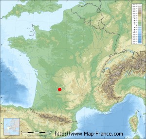
Map of Saint-Julien-de-Lampon with regions and prefectures
|
View the map of Saint-Julien-de-Lampon in full screen (1000 x 949)
|
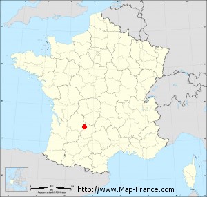
You will find the location of Saint-Julien-de-Lampon on the map of France of regions in Lambert 93 coordinates. The town of Saint-Julien-de-Lampon is located in the department of Dordogne of the french region Aquitaine.
Geographical sexagesimal coordinates / GPS (WGS84):
Latitude: 44° 51' 40'' North
Longitude: 01° 21' 47'' East
Geographical decimal coordinates :
Latitude: 44.861 degrees (44.861° North)
Longitude: 1.363 degrees (1.363° East)
Lambert 93 coordinates :
X: 5 707 hectometers
Y: 64 193 hectometers
Lambert 2 coordinates :
X: 5 230 hectometers
Y: 19 850 hectometers
Below, the geographical coordinates of Périgueux, prefecture of the Dordogne department:
Geographical sexagesimal coordinates / GPS (WGS84):
Latitude: 45° 11' 03'' North
Longitude: 00° 43' 05'' East
Geographical decimal coordinates :
Latitude: 45.185 degrees (45.185° North)
Longitude: 0.721 degrees (0.721° East)
Lambert 93 coordinates :
X: 5 208 hectometers
Y: 64 565 hectometers
Lambert 2 coordinates :
X: 4 728 hectometers
Y: 20 217 hectometers
|
This map of Saint-Julien-de-Lampon is reusable and modifiable by making a link to this page of the Map-France.com website or by using the given code :
|
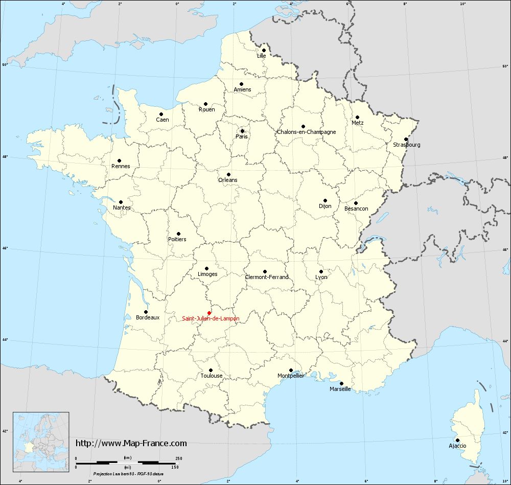
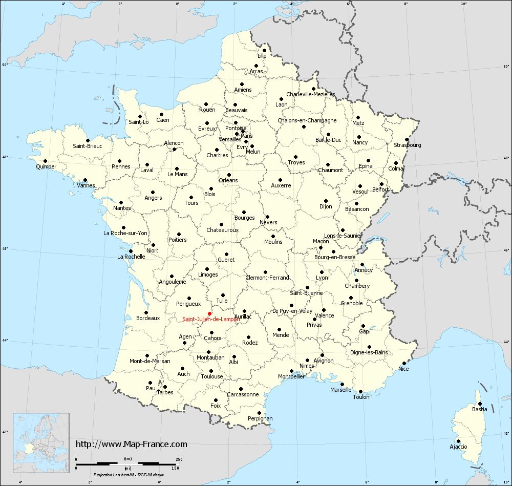
Map of Saint-Julien-de-Lampon with departments and prefectures
|
Voir la carte of Saint-Julien-de-Lampon en grand format (1000 x 949)
|
Here is the localization of Saint-Julien-de-Lampon on the France map of departments in Lambert 93 coordinates. The city of Saint-Julien-de-Lampon is shown on the map by a red point.
The town of Saint-Julien-de-Lampon is located in the department of Dordogne of the french region Aquitaine.
The latitude of Saint-Julien-de-Lampon is 44.861 degrees North.
The longitude of Saint-Julien-de-Lampon is 1.363 degrees East.
Here the distance between Saint-Julien-de-Lampon and the biggest cities of France:
Distances are calculated as the crow flies (orthodromic distance)
Distance between Saint-Julien-de-Lampon and Paris : 450.61 kilometers
Distance between Saint-Julien-de-Lampon and Marseille : 365.97 kilometers
Distance between Saint-Julien-de-Lampon and Lyon : 289.03 kilometers
Distance between Saint-Julien-de-Lampon and Toulouse : 140.29 kilometers
Distance between Saint-Julien-de-Lampon and Nice : 486.33 kilometers
Distance between Saint-Julien-de-Lampon and Nantes : 345.28 kilometers
Distance between Saint-Julien-de-Lampon and Strasbourg : 638.54 kilometers
Distance between Saint-Julien-de-Lampon and Montpellier : 243.53 kilometers
Distance between Saint-Julien-de-Lampon and Bordeaux : 152.66 kilometers
Distance between Saint-Julien-de-Lampon and Lille : 652.9 kilometers
Distance between Saint-Julien-de-Lampon and Rennes : 429.25 kilometers
Distance between Saint-Julien-de-Lampon and Reims : 528.54 kilometers
Clic here to see the map of Saint-Julien-de-Lampon in full screen:
Saint-Julien-de-Lampon on the map of french departments
|
This administrative map of Saint-Julien-de-Lampon is reusable and modifiable by making a link to this page of the Map-France.com website or by using the given code :
|
Administrative base maps of Saint-Julien-de-Lampon
|

See the administrative base map of Saint-Julien-de-Lampon in full screen (1000 x 949)
|
Small administrative base map of Saint-Julien-de-Lampon
|
This base map administrative of Saint-Julien-de-Lampon is reusable and modifiable by making a link to this page of the Map-France.com website or by using the given code :
|
 French Version : http://www.cartesfrance.fr