Map of France

Saint-Léger-en-Yvelines photos


Find a town, a zip code,
a department, a region... in France
I like Map-France.com !


Saint-Léger-en-Yvelines pictures


Here are the photos of the town of Saint-Léger-en-Yvelines and nearby towns. Saint-Léger-en-Yvelines is located in the department of Yvelines in the region of Île-de-France. You will find the satellite map of Saint-Léger-en-Yvelines under these photos.

To see photos of nearby towns of Saint-Léger-en-Yvelines, you can try the following links :
   - Photo of Les Bréviaires (78610) : town located at 3.69 km
   - Photo of Gambaiseuil (78490) : town located at 4.71 km
   - Photo of Poigny-la-Forêt (78125) : town located at 5.14 km
   - Photo of Les Mesnuls (78490) : town located at 6.71 km
   - Photo of Grosrouvre (78490) : town located at 6.92 km
   - Photo of Montfort-l'Amaury (78490) : town located at 6.98 km
   - Photo of Le Perray-en-Yvelines (78610) : town located at 7.04 km
   - Photo of Condé-sur-Vesgre (78113) : town located at 8.12 km
   - Photo of Adainville (78113) : town located at 8.35 km
   - Photo of Bourdonné (78113) : town located at 8.45 km
   - Photo of Méré (78490) : town located at 8.51 km
   - Photo of Galluis (78490) : town located at 8.60 km

 - photos of the department prefecture of Yvelines : photos of Versailles
 - pictures of others cities of Yvelines : Yvelines


To see Saint-Léger-en-Yvelines from the sky, here is the satellite map of the town of Saint-Léger-en-Yvelines : Saint-Léger-en-Yvelines map.

I like Saint-Léger-en-Yvelines !


Photos of the town of Saint-Léger-en-Yvelines

These photos taken near the town of Saint-Léger-en-Yvelines can be shown in full screen clicking on the thumbnails. Photos are copyrighted by their owners.

BB 7218 - 862508 Le Mans > Paris-Montparnasse - Photo of Saint-Léger-en-Yvelines
BB 7218 - 862508 Le Mans > Paris-Montparnasse

Z 57245 + Z 57173 - 165831 Paris-Montparnasse > Dreux - Photo of Saint-Léger-en-Yvelines
Z 57245 + Z 57173 - 165831 Paris-Montparnasse > Dreux

Transdev Rambouillet (Ile de France Mobilités) CX125NT Heuliez GX327 - Photo of Saint-Léger-en-Yvelines
Transdev Rambouillet (Ile de France Mobilités) CX125NT Heuliez GX327

Goupil G2 - Photo of Saint-Léger-en-Yvelines
Goupil G2

Goupil G2 - Photo of Saint-Léger-en-Yvelines
Goupil G2

E4001-3977 - 97342 Voutré > Trappes-Marchandises - Photo of Saint-Léger-en-Yvelines
E4001-3977 - 97342 Voutré > Trappes-Marchandises

WW 2 UK cemetery - Photo of Saint-Léger-en-Yvelines
WW 2 UK cemetery

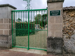
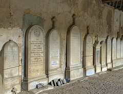
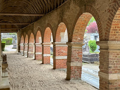
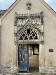
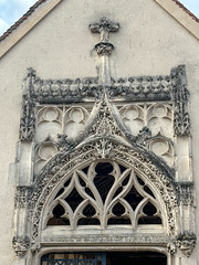
1404 Cimetière de Montfort-l-Amaury (Yvelines) - Photo of Saint-Léger-en-Yvelines
1404 Cimetière de Montfort-l-Amaury (Yvelines)

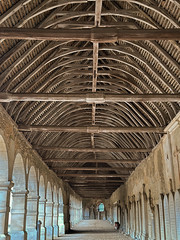
1403  Cimetière de Montfort-l-Amaury (Yvelines) - Photo of Saint-Léger-en-Yvelines
1403 Cimetière de Montfort-l-Amaury (Yvelines)

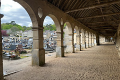
1408 Cimetière de Montfort-l-Amaury (Yvelines) - Photo of Saint-Léger-en-Yvelines
1408 Cimetière de Montfort-l-Amaury (Yvelines)

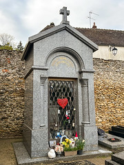
1409 Cimetière de Montfort-l-Amaury (Yvelines) - Photo of Saint-Léger-en-Yvelines
1409 Cimetière de Montfort-l-Amaury (Yvelines)

1406 Cimetière de Montfort-l-Amaury (Yvelines) - Photo of Saint-Léger-en-Yvelines
1406 Cimetière de Montfort-l-Amaury (Yvelines)

1399 Cimetière de Montfort-l-Amaury (Yvelines) - Photo of Saint-Léger-en-Yvelines
1399 Cimetière de Montfort-l-Amaury (Yvelines)

1400 Cimetière de Montfort-l-Amaury (Yvelines) - Photo of Saint-Léger-en-Yvelines
1400 Cimetière de Montfort-l-Amaury (Yvelines)


Saint-Léger-en-Yvelines from the sky


Old photos of the town of Saint-Léger-en-Yvelines

These photos taken near the town of Saint-Léger-en-Yvelines can be shown in full screen clicking on the thumbnails. Photos are copyrighted by their owners.


Other maps, hotels and towns in france


Find another town, zip code, department, region, ...


Quick links Saint-Léger-en-Yvelines :


Back to the menus Map of France :


Make a link to this page of Saint-Léger-en-Yvelines with the following code :


Map of France | Regions | Departments | Cities | Partners | Terms | Contact