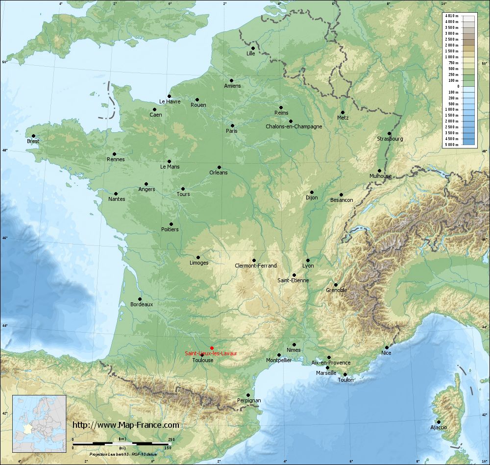
Saint-Lieux-lès-Lavaur on the relief France map in Lambert 93 coordinates
|
See the map of Saint-Lieux-lès-Lavaur in full screen (1000 x 949)
|
At left, here is the location of Saint-Lieux-lès-Lavaur on the relief France map in Lambert 93 coordinates.
Here are the altitudes of Saint-Lieux-lès-Lavaur :
- Town hall altitude of Saint-Lieux-lès-Lavaur is 117 meters
- Minimum altitude of Saint-Lieux-lès-Lavaur is 95 meters
- Maximum altitude of Saint-Lieux-lès-Lavaur is 136 meters
- Medium altitude of Saint-Lieux-lès-Lavaur is 116 meters
Here are the altitudes of Albi, prefecture of Tarn department:
- Town hall altitude of Albi is 174 meters
- Minimum altitude of Albi is 130 meters
- Maximum altitude of Albi is 308 meters
- Medium altitude of Albi is 219 meters
Here are the altitudes of the french biggest cities:
Paris : 33 meters
Marseille : 20 meters
Lyon : 237 meters
Toulouse : 146 meters
Nice : 10 meters
Nantes : 20 meters
Strasbourg : 144 meters
Montpellier : 35 meters
Bordeaux : 16 meters
Lille : 20 meters
Rennes : 35 meters
Reims : 83 meters
Click here for the terrain map of Saint-Lieux-lès-Lavaur in full screen:
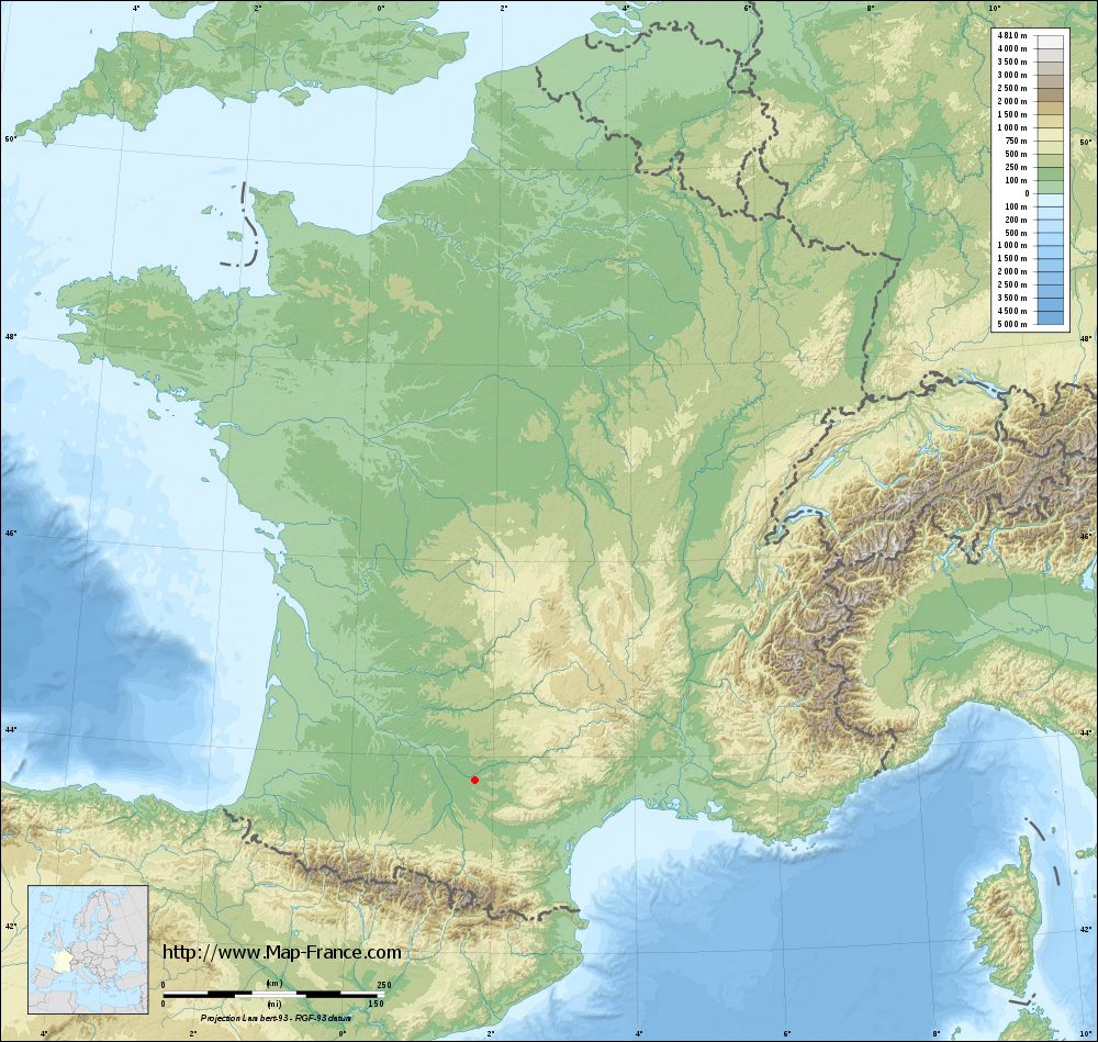
Relief map of Saint-Lieux-lès-Lavaur
|
This relief map of Saint-Lieux-lès-Lavaur is reusable and modifiable by making a link to this page of the Map-France.com website or by using the given code :
|
Terrain base map of Saint-Lieux-lès-Lavaur
|
See the terrain base map of Saint-Lieux-lès-Lavaur in full screen (1000 x 949)
|
Small relief base map of Saint-Lieux-lès-Lavaur
|
This base map of Saint-Lieux-lès-Lavaur is reusable and modifiable by making a link to this page of the Map-France.com website or by using the given code :
|
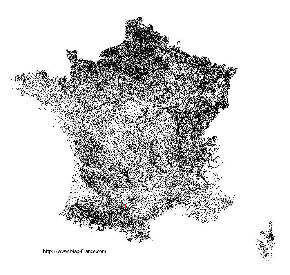
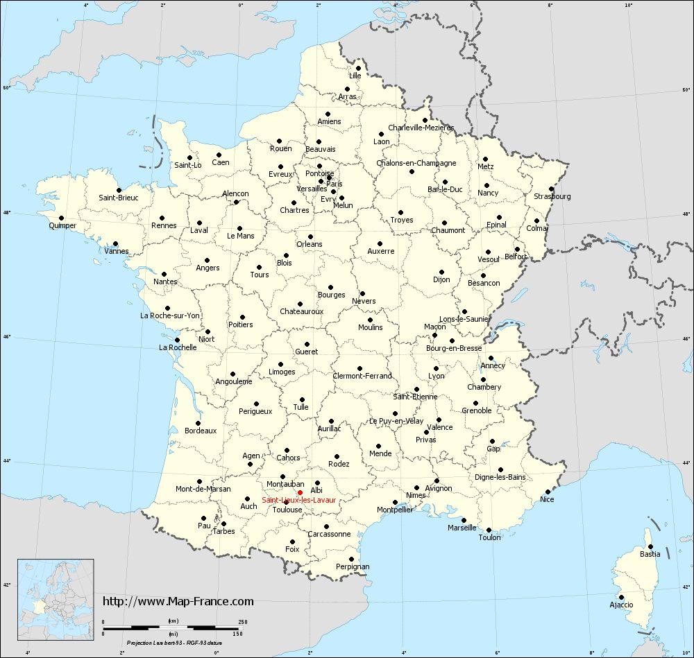
Map of Saint-Lieux-lès-Lavaur with regions and prefectures
|
View the map of Saint-Lieux-lès-Lavaur in full screen (1000 x 949)
|
You will find the location of Saint-Lieux-lès-Lavaur on the map of France of regions in Lambert 93 coordinates. The town of Saint-Lieux-lès-Lavaur is located in the department of Tarn of the french region Midi-Pyrénées.
Geographical sexagesimal coordinates / GPS (WGS84):
Latitude: 43° 45' 55'' North
Longitude: 01° 45' 35'' East
Geographical decimal coordinates :
Latitude: 43.765 degrees (43.765° North)
Longitude: 1.761 degrees (1.761° East)
Lambert 93 coordinates :
X: 6 001 hectometers
Y: 62 970 hectometers
Lambert 2 coordinates :
X: 5 535 hectometers
Y: 18 628 hectometers
Below, the geographical coordinates of Albi, prefecture of the Tarn department:
Geographical sexagesimal coordinates / GPS (WGS84):
Latitude: 43° 55' 41'' North
Longitude: 02° 08' 45'' East
Geographical decimal coordinates :
Latitude: 43.928 degrees (43.928° North)
Longitude: 2.143 degrees (2.143° East)
Lambert 93 coordinates :
X: 6 314 hectometers
Y: 63 147 hectometers
Lambert 2 coordinates :
X: 5 847 hectometers
Y: 18 807 hectometers
|
This map of Saint-Lieux-lès-Lavaur is reusable and modifiable by making a link to this page of the Map-France.com website or by using the given code :
|
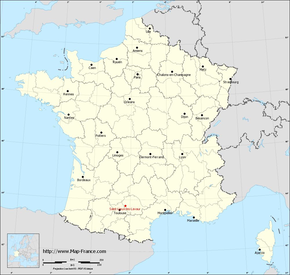
Map of Saint-Lieux-lès-Lavaur with departments and prefectures
|
Voir la carte of Saint-Lieux-lès-Lavaur en grand format (1000 x 949)
|
Here is the localization of Saint-Lieux-lès-Lavaur on the France map of departments in Lambert 93 coordinates. The city of Saint-Lieux-lès-Lavaur is shown on the map by a red point.
The town of Saint-Lieux-lès-Lavaur is located in the department of Tarn of the french region Midi-Pyrénées.
The latitude of Saint-Lieux-lès-Lavaur is 43.765 degrees North.
The longitude of Saint-Lieux-lès-Lavaur is 1.761 degrees East.
Here the distance between Saint-Lieux-lès-Lavaur and the biggest cities of France:
Distances are calculated as the crow flies (orthodromic distance)
Distance between Saint-Lieux-lès-Lavaur and Paris : 567.92 kilometers
Distance between Saint-Lieux-lès-Lavaur and Marseille : 297.65 kilometers
Distance between Saint-Lieux-lès-Lavaur and Lyon : 328.46 kilometers
Distance between Saint-Lieux-lès-Lavaur and Toulouse : 30.98 kilometers
Distance between Saint-Lieux-lès-Lavaur and Nice : 441.61 kilometers
Distance between Saint-Lieux-lès-Lavaur and Nantes : 462.41 kilometers
Distance between Saint-Lieux-lès-Lavaur and Strasbourg : 706.26 kilometers
Distance between Saint-Lieux-lès-Lavaur and Montpellier : 170.67 kilometers
Distance between Saint-Lieux-lès-Lavaur and Bordeaux : 220.97 kilometers
Distance between Saint-Lieux-lès-Lavaur and Lille : 768.61 kilometers
Distance between Saint-Lieux-lès-Lavaur and Rennes : 550.76 kilometers
Distance between Saint-Lieux-lès-Lavaur and Reims : 634.42 kilometers
Clic here to see the map of Saint-Lieux-lès-Lavaur in full screen:
Saint-Lieux-lès-Lavaur on the map of french departments
|
This administrative map of Saint-Lieux-lès-Lavaur is reusable and modifiable by making a link to this page of the Map-France.com website or by using the given code :
|
Administrative base maps of Saint-Lieux-lès-Lavaur
|

See the administrative base map of Saint-Lieux-lès-Lavaur in full screen (1000 x 949)
|
Small administrative base map of Saint-Lieux-lès-Lavaur
|
This base map administrative of Saint-Lieux-lès-Lavaur is reusable and modifiable by making a link to this page of the Map-France.com website or by using the given code :
|
 French Version : http://www.cartesfrance.fr