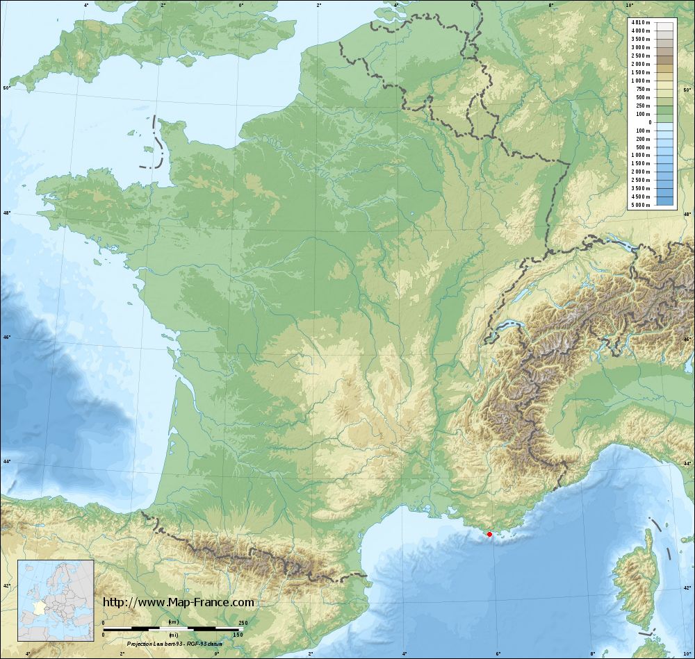
Saint-Mandrier-sur-Mer on the relief France map in Lambert 93 coordinates
|

See the map of Saint-Mandrier-sur-Mer in full screen (1000 x 949)
|
At left, here is the location of Saint-Mandrier-sur-Mer on the relief France map in Lambert 93 coordinates.
Here are the altitudes of Saint-Mandrier-sur-Mer :
- Town hall altitude of Saint-Mandrier-sur-Mer is 10 meters
- Minimum altitude of Saint-Mandrier-sur-Mer is 0 meters
- Maximum altitude of Saint-Mandrier-sur-Mer is 123 meters
- Medium altitude of Saint-Mandrier-sur-Mer is 62 meters
Here are the altitudes of Toulon, prefecture of Var department:
- Town hall altitude of Toulon is 30 meters
- Minimum altitude of Toulon is 0 meters
- Maximum altitude of Toulon is 589 meters
- Medium altitude of Toulon is 295 meters
Here are the altitudes of the french biggest cities:
Paris : 33 meters
Marseille : 20 meters
Lyon : 237 meters
Toulouse : 146 meters
Nice : 10 meters
Nantes : 20 meters
Strasbourg : 144 meters
Montpellier : 35 meters
Bordeaux : 16 meters
Lille : 20 meters
Rennes : 35 meters
Reims : 83 meters
Click here for the terrain map of Saint-Mandrier-sur-Mer in full screen:
Relief map of Saint-Mandrier-sur-Mer
|
This relief map of Saint-Mandrier-sur-Mer is reusable and modifiable by making a link to this page of the Map-France.com website or by using the given code :
|
Terrain base map of Saint-Mandrier-sur-Mer
|
See the terrain base map of Saint-Mandrier-sur-Mer in full screen (1000 x 949)
|
Small relief base map of Saint-Mandrier-sur-Mer

|
This base map of Saint-Mandrier-sur-Mer is reusable and modifiable by making a link to this page of the Map-France.com website or by using the given code :
|
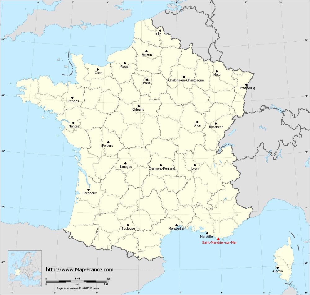
Map of Saint-Mandrier-sur-Mer with regions and prefectures
|
View the map of Saint-Mandrier-sur-Mer in full screen (1000 x 949)
|
You will find the location of Saint-Mandrier-sur-Mer on the map of France of regions in Lambert 93 coordinates. The city of Saint-Mandrier-sur-Mer is located in the department of Var of the french region Provence-Alpes-Côte d'Azur.
Geographical sexagesimal coordinates / GPS (WGS84):
Latitude: 43° 04' 34'' North
Longitude: 05° 55' 40'' East
Geographical decimal coordinates :
Latitude: 43.077 degrees (43.077° North)
Longitude: 5.928 degrees (5.928° East)
Lambert 93 coordinates :
X: 9 386 hectometers
Y: 62 241 hectometers
Lambert 2 coordinates :
X: 8 929 hectometers
Y: 17 926 hectometers
Below, the geographical coordinates of Toulon, prefecture of the Var department:
Geographical sexagesimal coordinates / GPS (WGS84):
Latitude: 43° 07' 30'' North
Longitude: 05° 55' 50'' East
Geographical decimal coordinates :
Latitude: 43.127 degrees (43.127° North)
Longitude: 5.934 degrees (5.934° East)
Lambert 93 coordinates :
X: 9 386 hectometers
Y: 62 295 hectometers
Lambert 2 coordinates :
X: 8 929 hectometers
Y: 17 981 hectometers
|
This map of Saint-Mandrier-sur-Mer is reusable and modifiable by making a link to this page of the Map-France.com website or by using the given code :
|
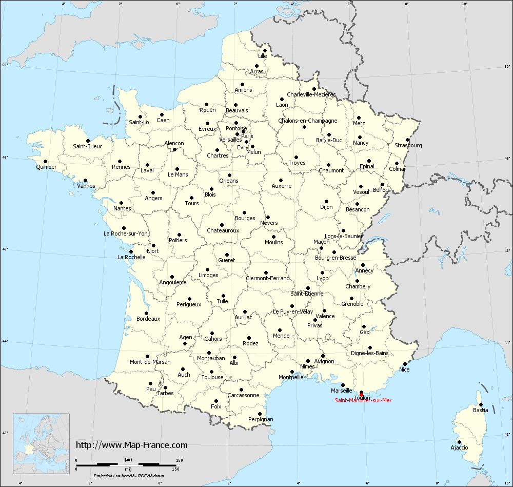
Map of Saint-Mandrier-sur-Mer with departments and prefectures
|
Voir la carte of Saint-Mandrier-sur-Mer en grand format (1000 x 949)
|
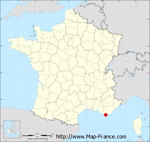
Here is the localization of Saint-Mandrier-sur-Mer on the France map of departments in Lambert 93 coordinates. The city of Saint-Mandrier-sur-Mer is shown on the map by a red point.
The city of Saint-Mandrier-sur-Mer is located in the department of Var of the french region Provence-Alpes-Côte d'Azur.
The latitude of Saint-Mandrier-sur-Mer is 43.077 degrees North.
The longitude of Saint-Mandrier-sur-Mer is 5.928 degrees East.
Here the distance between Saint-Mandrier-sur-Mer and the biggest cities of France:
Distances are calculated as the crow flies (orthodromic distance)
Distance between Saint-Mandrier-sur-Mer and Paris : 699.46 kilometers
Distance between Saint-Mandrier-sur-Mer and Marseille : 49.33 kilometers
Distance between Saint-Mandrier-sur-Mer and Lyon : 310.46 kilometers
Distance between Saint-Mandrier-sur-Mer and Toulouse : 366.42 kilometers
Distance between Saint-Mandrier-sur-Mer and Nice : 128.44 kilometers
Distance between Saint-Mandrier-sur-Mer and Nantes : 744.79 kilometers
Distance between Saint-Mandrier-sur-Mer and Strasbourg : 628.05 kilometers
Distance between Saint-Mandrier-sur-Mer and Montpellier : 176.15 kilometers
Distance between Saint-Mandrier-sur-Mer and Bordeaux : 555.68 kilometers
Distance between Saint-Mandrier-sur-Mer and Lille : 866.96 kilometers
Distance between Saint-Mandrier-sur-Mer and Rennes : 813.12 kilometers
Distance between Saint-Mandrier-sur-Mer and Reims : 702.06 kilometers
Clic here to see the map of Saint-Mandrier-sur-Mer in full screen:
Saint-Mandrier-sur-Mer on the map of french departments
|
This administrative map of Saint-Mandrier-sur-Mer is reusable and modifiable by making a link to this page of the Map-France.com website or by using the given code :
|
Administrative base maps of Saint-Mandrier-sur-Mer
|

See the administrative base map of Saint-Mandrier-sur-Mer in full screen (1000 x 949)
|
Small administrative base map of Saint-Mandrier-sur-Mer
|
This base map administrative of Saint-Mandrier-sur-Mer is reusable and modifiable by making a link to this page of the Map-France.com website or by using the given code :
|
 French Version : http://www.cartesfrance.fr