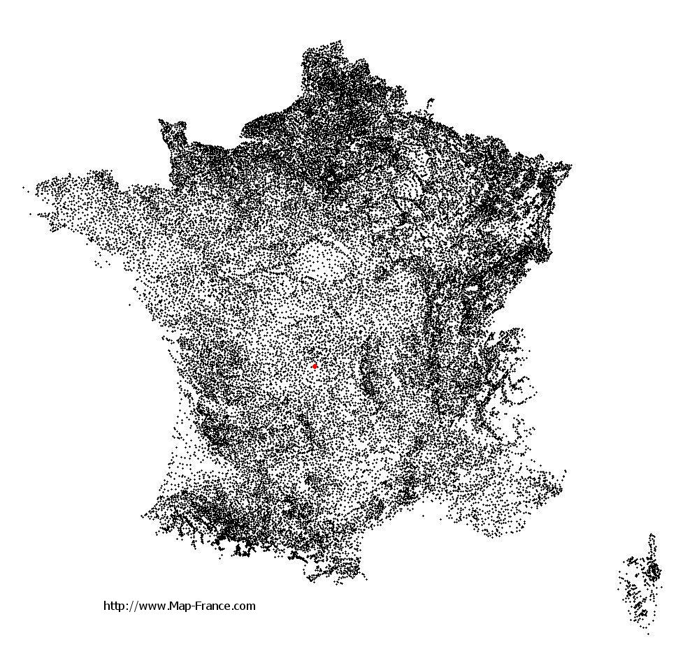
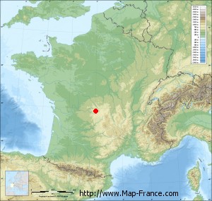
Saint-Marc-à-Loubaud on the relief France map in Lambert 93 coordinates
|

See the map of Saint-Marc-à-Loubaud in full screen (1000 x 949)
|
At left, here is the location of Saint-Marc-à-Loubaud on the relief France map in Lambert 93 coordinates.
Here are the altitudes of Saint-Marc-à-Loubaud :
- Town hall altitude of Saint-Marc-à-Loubaud is 705 meters
- Minimum altitude of Saint-Marc-à-Loubaud is 634 meters
- Maximum altitude of Saint-Marc-à-Loubaud is 774 meters
- Medium altitude of Saint-Marc-à-Loubaud is 704 meters
Here are the altitudes of Guéret, prefecture of Creuse department:
- Town hall altitude of Guéret is 431 meters
- Minimum altitude of Guéret is 350 meters
- Maximum altitude of Guéret is 685 meters
- Medium altitude of Guéret is 518 meters
Here are the altitudes of the french biggest cities:
Paris : 33 meters
Marseille : 20 meters
Lyon : 237 meters
Toulouse : 146 meters
Nice : 10 meters
Nantes : 20 meters
Strasbourg : 144 meters
Montpellier : 35 meters
Bordeaux : 16 meters
Lille : 20 meters
Rennes : 35 meters
Reims : 83 meters
Click here for the terrain map of Saint-Marc-à-Loubaud in full screen:
Relief map of Saint-Marc-à-Loubaud
|
This relief map of Saint-Marc-à-Loubaud is reusable and modifiable by making a link to this page of the Map-France.com website or by using the given code :
|
Terrain base map of Saint-Marc-à-Loubaud
|

See the terrain base map of Saint-Marc-à-Loubaud in full screen (1000 x 949)
|
Small relief base map of Saint-Marc-à-Loubaud
|
This base map of Saint-Marc-à-Loubaud is reusable and modifiable by making a link to this page of the Map-France.com website or by using the given code :
|
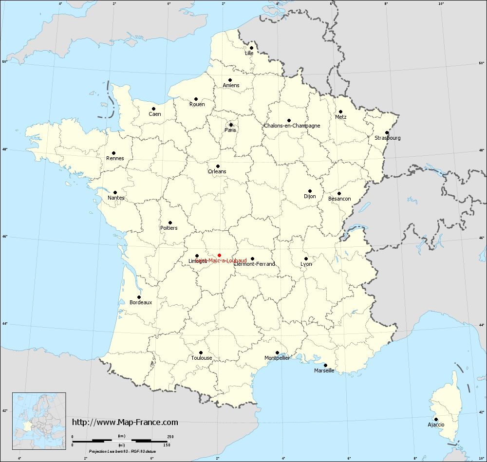
Map of Saint-Marc-à-Loubaud with regions and prefectures
|
View the map of Saint-Marc-à-Loubaud in full screen (1000 x 949)
|
You will find the location of Saint-Marc-à-Loubaud on the map of France of regions in Lambert 93 coordinates. The town of Saint-Marc-à-Loubaud is located in the department of Creuse of the french region Limousin.
Geographical sexagesimal coordinates / GPS (WGS84):
Latitude: 45° 50' 56'' North
Longitude: 01° 59' 47'' East
Geographical decimal coordinates :
Latitude: 45.849 degrees (45.849° North)
Longitude: 1.996 degrees (1.996° East)
Lambert 93 coordinates :
X: 6 221 hectometers
Y: 65 282 hectometers
Lambert 2 coordinates :
X: 5 736 hectometers
Y: 20 944 hectometers
Below, the geographical coordinates of Guéret, prefecture of the Creuse department:
Geographical sexagesimal coordinates / GPS (WGS84):
Latitude: 46° 10' 14'' North
Longitude: 01° 52' 06'' East
Geographical decimal coordinates :
Latitude: 46.169 degrees (46.169° North)
Longitude: 1.875 degrees (1.875° East)
Lambert 93 coordinates :
X: 6 127 hectometers
Y: 65 640 hectometers
Lambert 2 coordinates :
X: 5 638 hectometers
Y: 21 301 hectometers
|
This map of Saint-Marc-à-Loubaud is reusable and modifiable by making a link to this page of the Map-France.com website or by using the given code :
|
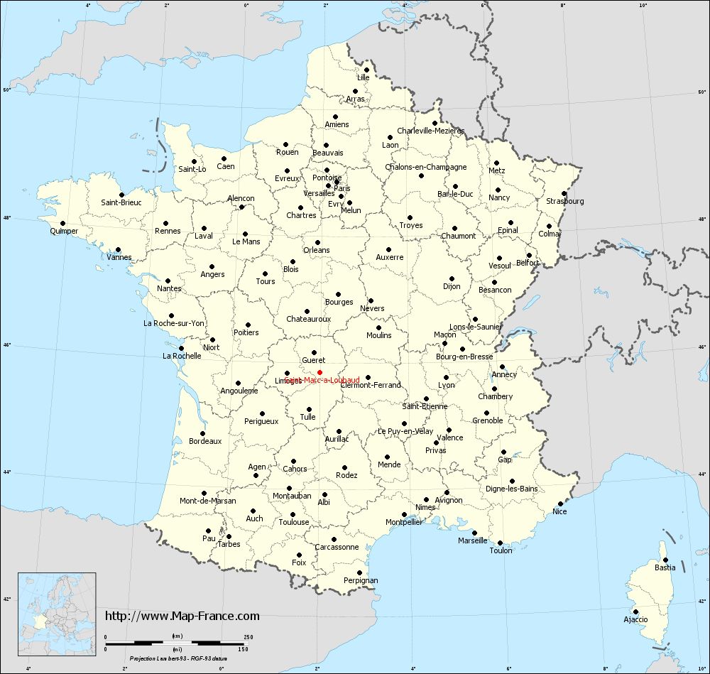
Map of Saint-Marc-à-Loubaud with departments and prefectures
|
Voir la carte of Saint-Marc-à-Loubaud en grand format (1000 x 949)
|
Here is the localization of Saint-Marc-à-Loubaud on the France map of departments in Lambert 93 coordinates. The city of Saint-Marc-à-Loubaud is shown on the map by a red point.
The town of Saint-Marc-à-Loubaud is located in the department of Creuse of the french region Limousin.
The latitude of Saint-Marc-à-Loubaud is 45.849 degrees North.
The longitude of Saint-Marc-à-Loubaud is 1.996 degrees East.
Here the distance between Saint-Marc-à-Loubaud and the biggest cities of France:
Distances are calculated as the crow flies (orthodromic distance)
Distance between Saint-Marc-à-Loubaud and Paris : 335.61 kilometers
Distance between Saint-Marc-à-Loubaud and Marseille : 391 kilometers
Distance between Saint-Marc-à-Loubaud and Lyon : 220.06 kilometers
Distance between Saint-Marc-à-Loubaud and Toulouse : 253.61 kilometers
Distance between Saint-Marc-à-Loubaud and Nice : 478.59 kilometers
Distance between Saint-Marc-à-Loubaud and Nantes : 311.07 kilometers
Distance between Saint-Marc-à-Loubaud and Strasbourg : 530.1 kilometers
Distance between Saint-Marc-à-Loubaud and Montpellier : 289.7 kilometers
Distance between Saint-Marc-à-Loubaud and Bordeaux : 229.81 kilometers
Distance between Saint-Marc-à-Loubaud and Lille : 536.56 kilometers
Distance between Saint-Marc-à-Loubaud and Rennes : 374.94 kilometers
Distance between Saint-Marc-à-Loubaud and Reims : 408.26 kilometers
Clic here to see the map of Saint-Marc-à-Loubaud in full screen:
Saint-Marc-à-Loubaud on the map of french departments
|
This administrative map of Saint-Marc-à-Loubaud is reusable and modifiable by making a link to this page of the Map-France.com website or by using the given code :
|
Administrative base maps of Saint-Marc-à-Loubaud
|

See the administrative base map of Saint-Marc-à-Loubaud in full screen (1000 x 949)
|
Small administrative base map of Saint-Marc-à-Loubaud
|
This base map administrative of Saint-Marc-à-Loubaud is reusable and modifiable by making a link to this page of the Map-France.com website or by using the given code :
|
 French Version : http://www.cartesfrance.fr