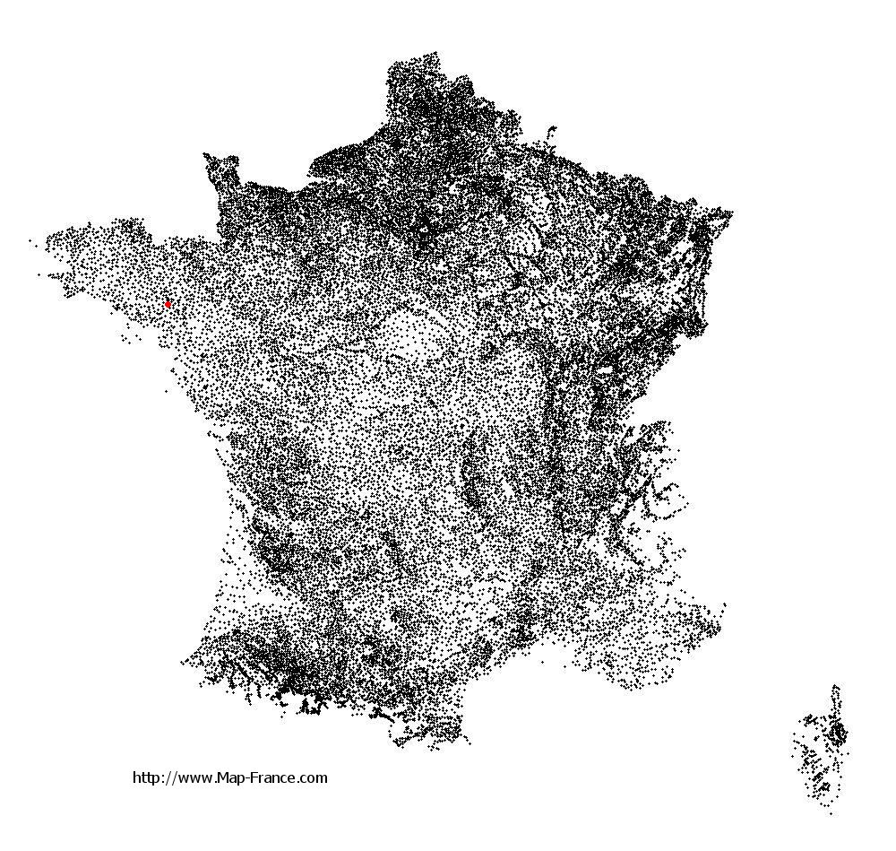
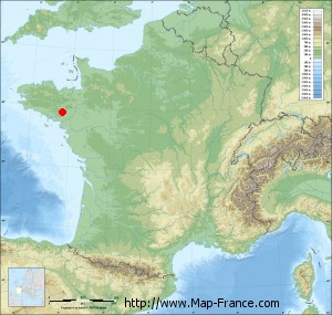
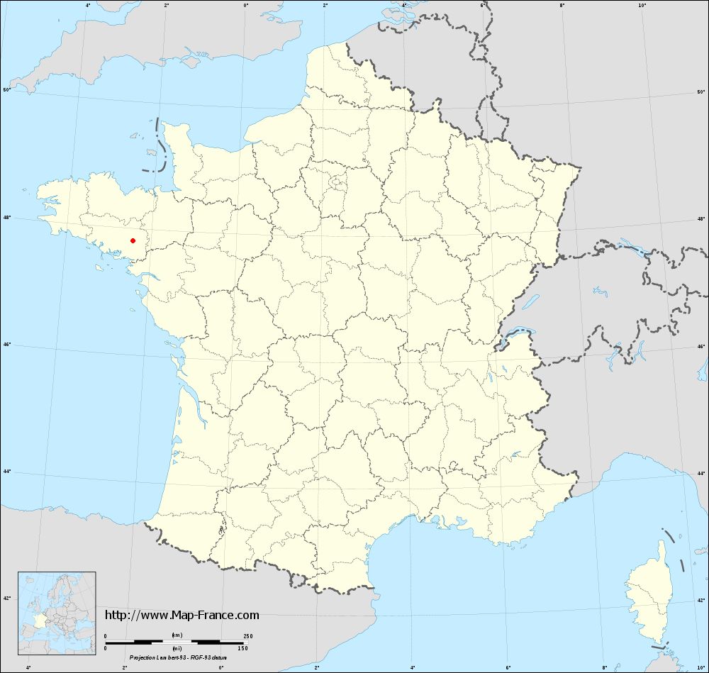
Saint-Marcel on the relief France map in Lambert 93 coordinates
|

See the map of Saint-Marcel in full screen (1000 x 949)
|
At left, here is the location of Saint-Marcel on the relief France map in Lambert 93 coordinates.
Here are the altitudes of Saint-Marcel :
- Town hall altitude of Saint-Marcel is 60 meters
- Minimum altitude of Saint-Marcel is 12 meters
- Maximum altitude of Saint-Marcel is 112 meters
- Medium altitude of Saint-Marcel is 62 meters
Here are the altitudes of Vannes, prefecture of Morbihan department:
- Town hall altitude of Vannes is 10 meters
- Minimum altitude of Vannes is 0 meters
- Maximum altitude of Vannes is 56 meters
- Medium altitude of Vannes is 28 meters
Here are the altitudes of the french biggest cities:
Paris : 33 meters
Marseille : 20 meters
Lyon : 237 meters
Toulouse : 146 meters
Nice : 10 meters
Nantes : 20 meters
Strasbourg : 144 meters
Montpellier : 35 meters
Bordeaux : 16 meters
Lille : 20 meters
Rennes : 35 meters
Reims : 83 meters
Click here for the terrain map of Saint-Marcel in full screen:
Relief map of Saint-Marcel
|
This relief map of Saint-Marcel is reusable and modifiable by making a link to this page of the Map-France.com website or by using the given code :
|
Terrain base map of Saint-Marcel
|

See the terrain base map of Saint-Marcel in full screen (1000 x 949)
|
Small relief base map of Saint-Marcel
|
This base map of Saint-Marcel is reusable and modifiable by making a link to this page of the Map-France.com website or by using the given code :
|
Map of Saint-Marcel with regions and prefectures
|
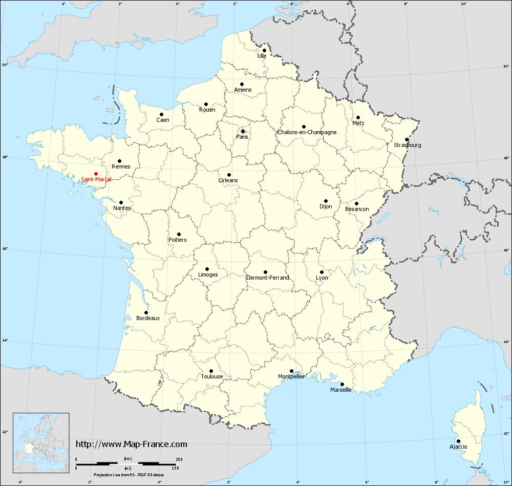
View the map of Saint-Marcel in full screen (1000 x 949)
|
You will find the location of Saint-Marcel on the map of France of regions in Lambert 93 coordinates. The town of Saint-Marcel is located in the department of Morbihan of the french region Bretagne.
Geographical sexagesimal coordinates / GPS (WGS84):
Latitude: 47° 48' 15'' North
Longitude: 02° 25' 08'' West
Geographical decimal coordinates :
Latitude: 47.805 degrees (47.805° North)
Longitude: -2.418 degrees (2.418° West)
Lambert 93 coordinates :
X: 2 947 hectometers
Y: 67 588 hectometers
Lambert 2 coordinates :
X: 2 440 hectometers
Y: 23 224 hectometers
Below, the geographical coordinates of Vannes, prefecture of the Morbihan department:
Geographical sexagesimal coordinates / GPS (WGS84):
Latitude: 47° 39' 18'' North
Longitude: 02° 45' 42'' West
Geographical decimal coordinates :
Latitude: 47.655 degrees (47.655° North)
Longitude: -2.761 degrees (2.761° West)
Lambert 93 coordinates :
X: 2 679 hectometers
Y: 67 441 hectometers
Lambert 2 coordinates :
X: 2 173 hectometers
Y: 23 075 hectometers
|
This map of Saint-Marcel is reusable and modifiable by making a link to this page of the Map-France.com website or by using the given code :
|
Map of Saint-Marcel with departments and prefectures
|
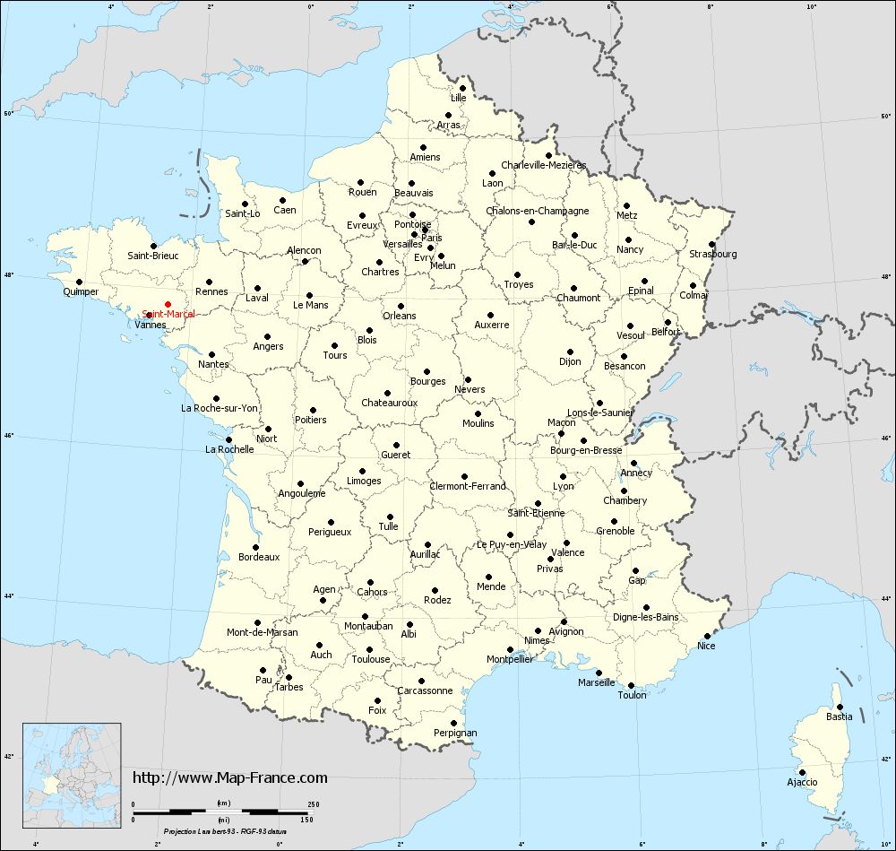
Voir la carte of Saint-Marcel en grand format (1000 x 949)
|
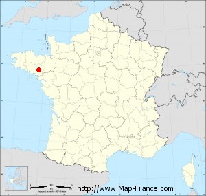
Here is the localization of Saint-Marcel on the France map of departments in Lambert 93 coordinates. The city of Saint-Marcel is shown on the map by a red point.
The town of Saint-Marcel is located in the department of Morbihan of the french region Bretagne.
The latitude of Saint-Marcel is 47.805 degrees North.
The longitude of Saint-Marcel is 2.418 degrees West.
Here the distance between Saint-Marcel and the biggest cities of France:
Distances are calculated as the crow flies (orthodromic distance)
Distance between Saint-Marcel and Paris : 370.87 kilometers
Distance between Saint-Marcel and Marseille : 787.21 kilometers
Distance between Saint-Marcel and Lyon : 596.48 kilometers
Distance between Saint-Marcel and Toulouse : 555.14 kilometers
Distance between Saint-Marcel and Nice : 876.85 kilometers
Distance between Saint-Marcel and Nantes : 91.87 kilometers
Distance between Saint-Marcel and Strasbourg : 757.93 kilometers
Distance between Saint-Marcel and Montpellier : 674.64 kilometers
Distance between Saint-Marcel and Bordeaux : 358.14 kilometers
Distance between Saint-Marcel and Lille : 505.34 kilometers
Distance between Saint-Marcel and Rennes : 64.41 kilometers
Distance between Saint-Marcel and Reims : 501.07 kilometers
Clic here to see the map of Saint-Marcel in full screen:
Saint-Marcel on the map of french departments
|
This administrative map of Saint-Marcel is reusable and modifiable by making a link to this page of the Map-France.com website or by using the given code :
|
Administrative base maps of Saint-Marcel
|
See the administrative base map of Saint-Marcel in full screen (1000 x 949)
|
Small administrative base map of Saint-Marcel
|
This base map administrative of Saint-Marcel is reusable and modifiable by making a link to this page of the Map-France.com website or by using the given code :
|
 French Version : http://www.cartesfrance.fr