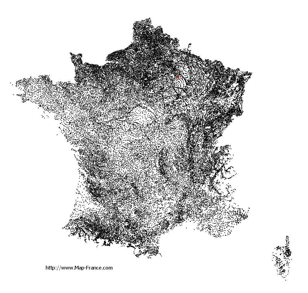
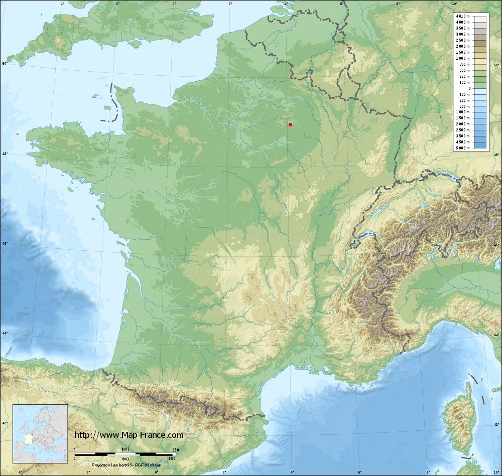
Saint-Mard-lès-Rouffy on the relief France map in Lambert 93 coordinates
|

See the map of Saint-Mard-lès-Rouffy in full screen (1000 x 949)
|
At left, here is the location of Saint-Mard-lès-Rouffy on the relief France map in Lambert 93 coordinates.
Here are the altitudes of Saint-Mard-lès-Rouffy :
- Town hall altitude of Saint-Mard-lès-Rouffy is 90 meters
- Minimum altitude of Saint-Mard-lès-Rouffy is 84 meters
- Maximum altitude of Saint-Mard-lès-Rouffy is 108 meters
- Medium altitude of Saint-Mard-lès-Rouffy is 96 meters
Here are the altitudes of Châlons-en-Champagne, prefecture of Marne department:
- Town hall altitude of Châlons-en-Champagne is 85 meters
- Minimum altitude of Châlons-en-Champagne is 79 meters
- Maximum altitude of Châlons-en-Champagne is 153 meters
- Medium altitude of Châlons-en-Champagne is 116 meters
Here are the altitudes of the french biggest cities:
Paris : 33 meters
Marseille : 20 meters
Lyon : 237 meters
Toulouse : 146 meters
Nice : 10 meters
Nantes : 20 meters
Strasbourg : 144 meters
Montpellier : 35 meters
Bordeaux : 16 meters
Lille : 20 meters
Rennes : 35 meters
Reims : 83 meters
Click here for the terrain map of Saint-Mard-lès-Rouffy in full screen:
Relief map of Saint-Mard-lès-Rouffy
|
This relief map of Saint-Mard-lès-Rouffy is reusable and modifiable by making a link to this page of the Map-France.com website or by using the given code :
|
Terrain base map of Saint-Mard-lès-Rouffy
|
See the terrain base map of Saint-Mard-lès-Rouffy in full screen (1000 x 949)
|
Small relief base map of Saint-Mard-lès-Rouffy

|
This base map of Saint-Mard-lès-Rouffy is reusable and modifiable by making a link to this page of the Map-France.com website or by using the given code :
|
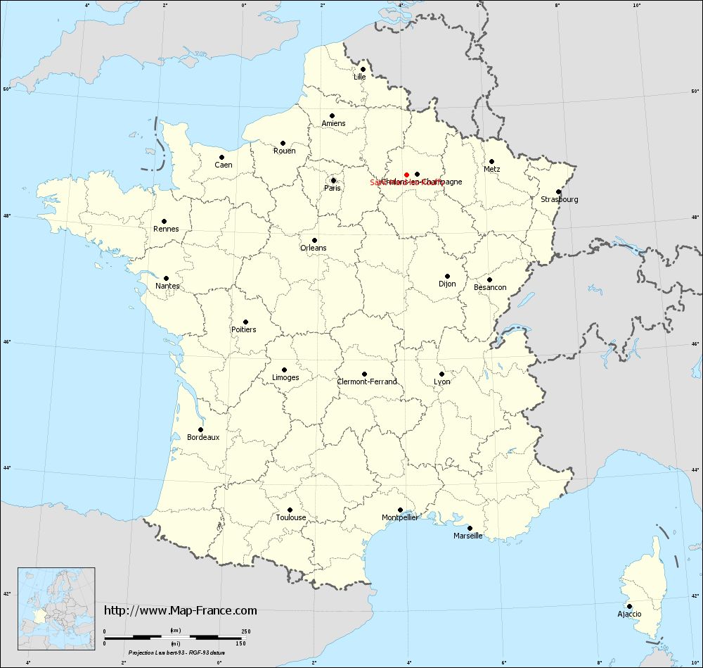
Map of Saint-Mard-lès-Rouffy with regions and prefectures
|
View the map of Saint-Mard-lès-Rouffy in full screen (1000 x 949)
|
You will find the location of Saint-Mard-lès-Rouffy on the map of France of regions in Lambert 93 coordinates. The town of Saint-Mard-lès-Rouffy is located in the department of Marne of the french region Champagne-Ardenne.
Geographical sexagesimal coordinates / GPS (WGS84):
Latitude: 48° 56' 30'' North
Longitude: 04° 06' 59'' East
Geographical decimal coordinates :
Latitude: 48.942 degrees (48.942° North)
Longitude: 4.118 degrees (4.118° East)
Lambert 93 coordinates :
X: 7 818 hectometers
Y: 68 719 hectometers
Lambert 2 coordinates :
X: 7 305 hectometers
Y: 24 396 hectometers
Below, the geographical coordinates of Châlons-en-Champagne, prefecture of the Marne department:
Geographical sexagesimal coordinates / GPS (WGS84):
Latitude: 48° 57' 24'' North
Longitude: 04° 21' 52'' East
Geographical decimal coordinates :
Latitude: 48.957 degrees (48.957° North)
Longitude: 4.362 degrees (4.362° East)
Lambert 93 coordinates :
X: 7 999 hectometers
Y: 68 738 hectometers
Lambert 2 coordinates :
X: 7 486 hectometers
Y: 24 417 hectometers
|
This map of Saint-Mard-lès-Rouffy is reusable and modifiable by making a link to this page of the Map-France.com website or by using the given code :
|
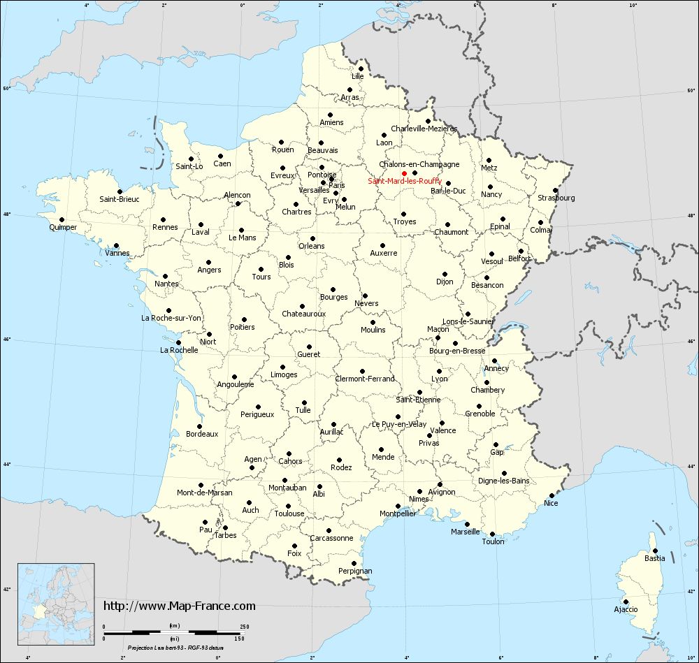
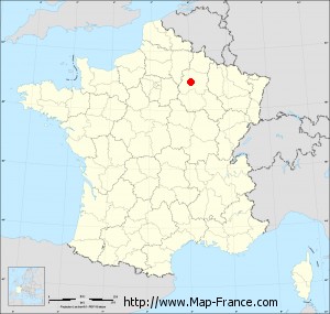
Map of Saint-Mard-lès-Rouffy with departments and prefectures
|
Voir la carte of Saint-Mard-lès-Rouffy en grand format (1000 x 949)
|
Here is the localization of Saint-Mard-lès-Rouffy on the France map of departments in Lambert 93 coordinates. The city of Saint-Mard-lès-Rouffy is shown on the map by a red point.
The town of Saint-Mard-lès-Rouffy is located in the department of Marne of the french region Champagne-Ardenne.
The latitude of Saint-Mard-lès-Rouffy is 48.942 degrees North.
The longitude of Saint-Mard-lès-Rouffy is 4.118 degrees East.
Here the distance between Saint-Mard-lès-Rouffy and the biggest cities of France:
Distances are calculated as the crow flies (orthodromic distance)
Distance between Saint-Mard-lès-Rouffy and Paris : 129.73 kilometers
Distance between Saint-Mard-lès-Rouffy and Marseille : 634.86 kilometers
Distance between Saint-Mard-lès-Rouffy and Lyon : 357.68 kilometers
Distance between Saint-Mard-lès-Rouffy and Toulouse : 627.81 kilometers
Distance between Saint-Mard-lès-Rouffy and Nice : 629.67 kilometers
Distance between Saint-Mard-lès-Rouffy and Nantes : 462.33 kilometers
Distance between Saint-Mard-lès-Rouffy and Strasbourg : 269.36 kilometers
Distance between Saint-Mard-lès-Rouffy and Montpellier : 592.86 kilometers
Distance between Saint-Mard-lès-Rouffy and Bordeaux : 578.02 kilometers
Distance between Saint-Mard-lès-Rouffy and Lille : 202.5 kilometers
Distance between Saint-Mard-lès-Rouffy and Rennes : 436.49 kilometers
Distance between Saint-Mard-lès-Rouffy and Reims : 35.64 kilometers
Clic here to see the map of Saint-Mard-lès-Rouffy in full screen:
Saint-Mard-lès-Rouffy on the map of french departments
|
This administrative map of Saint-Mard-lès-Rouffy is reusable and modifiable by making a link to this page of the Map-France.com website or by using the given code :
|
Administrative base maps of Saint-Mard-lès-Rouffy
|

See the administrative base map of Saint-Mard-lès-Rouffy in full screen (1000 x 949)
|
Small administrative base map of Saint-Mard-lès-Rouffy
|
This base map administrative of Saint-Mard-lès-Rouffy is reusable and modifiable by making a link to this page of the Map-France.com website or by using the given code :
|
 French Version : http://www.cartesfrance.fr