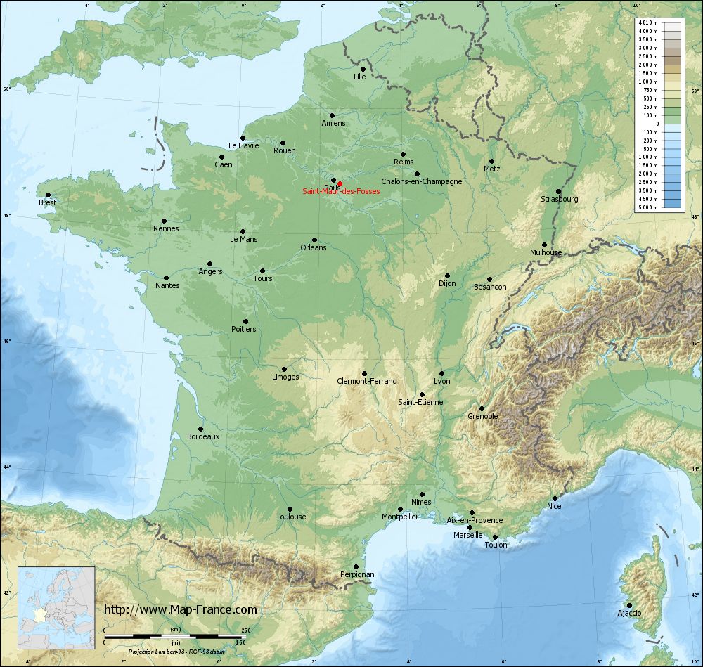
Saint-Maur-des-Fossés on the relief France map in Lambert 93 coordinates
|
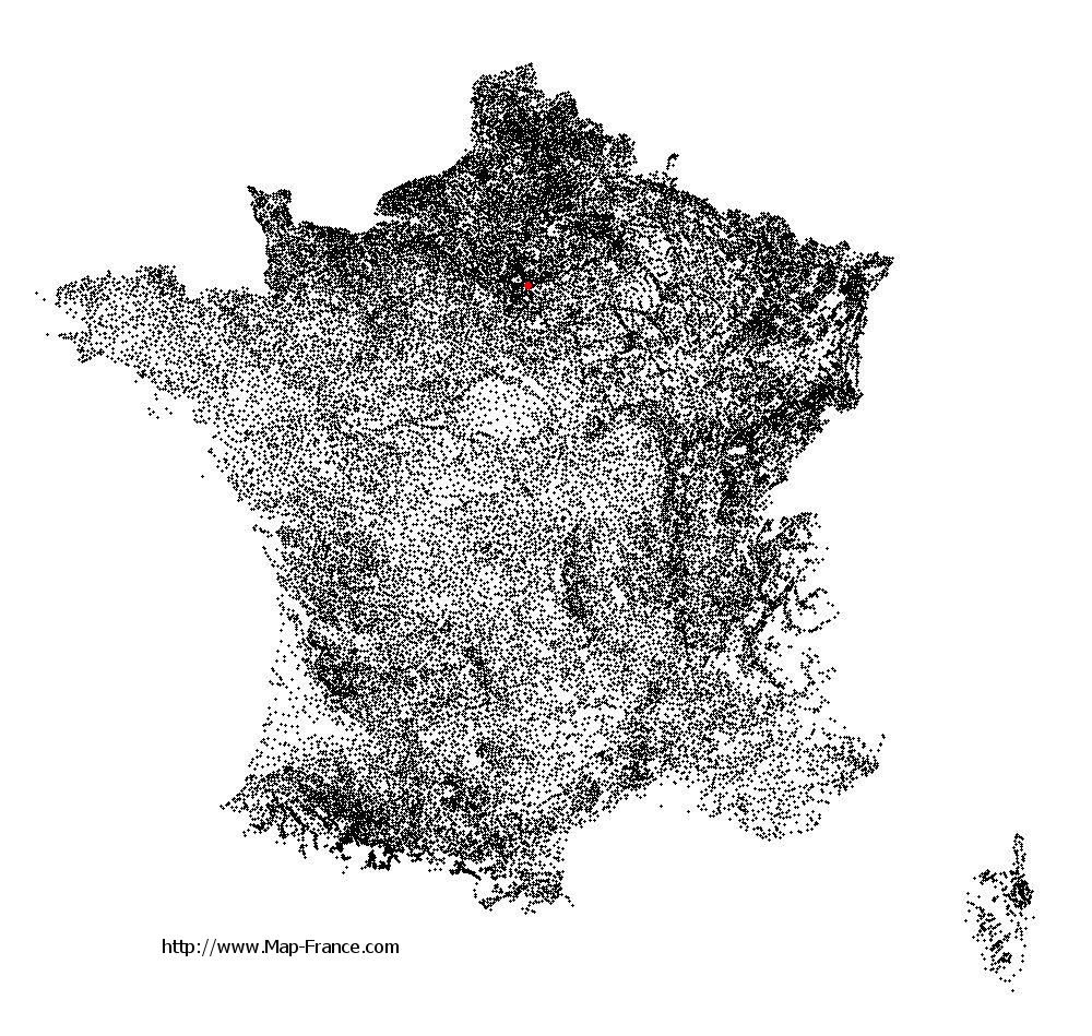
See the map of Saint-Maur-des-Fossés in full screen (1000 x 949)
|
At left, here is the location of Saint-Maur-des-Fossés on the relief France map in Lambert 93 coordinates.
Here are the altitudes of Saint-Maur-des-Fossés :
- Town hall altitude of Saint-Maur-des-Fossés is 37 meters
- Minimum altitude of Saint-Maur-des-Fossés is 32 meters
- Maximum altitude of Saint-Maur-des-Fossés is 53 meters
- Medium altitude of Saint-Maur-des-Fossés is 43 meters
Here are the altitudes of Créteil, prefecture of Val-de-Marne department:
- Town hall altitude of Créteil is 34 meters
- Minimum altitude of Créteil is 31 meters
- Maximum altitude of Créteil is 74 meters
- Medium altitude of Créteil is 53 meters
Here are the altitudes of the french biggest cities:
Paris : 33 meters
Marseille : 20 meters
Lyon : 237 meters
Toulouse : 146 meters
Nice : 10 meters
Nantes : 20 meters
Strasbourg : 144 meters
Montpellier : 35 meters
Bordeaux : 16 meters
Lille : 20 meters
Rennes : 35 meters
Reims : 83 meters
Click here for the terrain map of Saint-Maur-des-Fossés in full screen:
Relief map of Saint-Maur-des-Fossés
|
This relief map of Saint-Maur-des-Fossés is reusable and modifiable by making a link to this page of the Map-France.com website or by using the given code :
|
Terrain base map of Saint-Maur-des-Fossés
|

See the terrain base map of Saint-Maur-des-Fossés in full screen (1000 x 949)
|
Small relief base map of Saint-Maur-des-Fossés

|
This base map of Saint-Maur-des-Fossés is reusable and modifiable by making a link to this page of the Map-France.com website or by using the given code :
|
Map of Saint-Maur-des-Fossés with regions and prefectures
|
View the map of Saint-Maur-des-Fossés in full screen (1000 x 949)
|
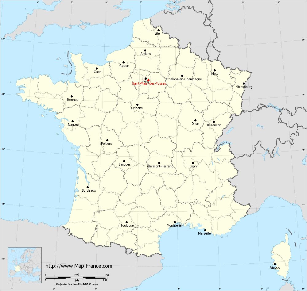
You will find the location of Saint-Maur-des-Fossés on the map of France of regions in Lambert 93 coordinates. The city of Saint-Maur-des-Fossés is located in the department of Val-de-Marne of the french region Île-de-France.
Geographical sexagesimal coordinates / GPS (WGS84):
Latitude: 48° 47' 55'' North
Longitude: 02° 29' 56'' East
Geographical decimal coordinates :
Latitude: 48.799 degrees (48.799° North)
Longitude: 2.505 degrees (2.505° East)
Lambert 93 coordinates :
X: 6 632 hectometers
Y: 68 555 hectometers
Lambert 2 coordinates :
X: 6 119 hectometers
Y: 24 223 hectometers
Below, the geographical coordinates of Créteil, prefecture of the Val-de-Marne department:
Geographical sexagesimal coordinates / GPS (WGS84):
Latitude: 48° 47' 26'' North
Longitude: 02° 27' 43'' East
Geographical decimal coordinates :
Latitude: 48.793 degrees (48.793° North)
Longitude: 2.461 degrees (2.461° East)
Lambert 93 coordinates :
X: 6 605 hectometers
Y: 68 546 hectometers
Lambert 2 coordinates :
X: 6 092 hectometers
Y: 24 213 hectometers
|
This map of Saint-Maur-des-Fossés is reusable and modifiable by making a link to this page of the Map-France.com website or by using the given code :
|
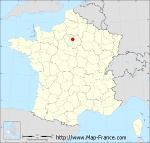
Map of Saint-Maur-des-Fossés with departments and prefectures
|
Voir la carte of Saint-Maur-des-Fossés en grand format (1000 x 949)
|
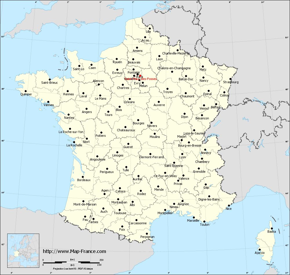
Here is the localization of Saint-Maur-des-Fossés on the France map of departments in Lambert 93 coordinates. The city of Saint-Maur-des-Fossés is shown on the map by a red point.
The city of Saint-Maur-des-Fossés is located in the department of Val-de-Marne of the french region Île-de-France.
The latitude of Saint-Maur-des-Fossés is 48.799 degrees North.
The longitude of Saint-Maur-des-Fossés is 2.505 degrees East.
Here the distance between Saint-Maur-des-Fossés and the biggest cities of France:
Distances are calculated as the crow flies (orthodromic distance)
Distance between Saint-Maur-des-Fossés and Paris : 13.49 kilometers
Distance between Saint-Maur-des-Fossés and Marseille : 650.65 kilometers
Distance between Saint-Maur-des-Fossés and Lyon : 380.61 kilometers
Distance between Saint-Maur-des-Fossés and Toulouse : 583.34 kilometers
Distance between Saint-Maur-des-Fossés and Nice : 673.36 kilometers
Distance between Saint-Maur-des-Fossés and Nantes : 349 kilometers
Distance between Saint-Maur-des-Fossés and Strasbourg : 385.77 kilometers
Distance between Saint-Maur-des-Fossés and Montpellier : 586.21 kilometers
Distance between Saint-Maur-des-Fossés and Bordeaux : 497.96 kilometers
Distance between Saint-Maur-des-Fossés and Lille : 206.83 kilometers
Distance between Saint-Maur-des-Fossés and Rennes : 317.79 kilometers
Distance between Saint-Maur-des-Fossés and Reims : 122.31 kilometers
Clic here to see the map of Saint-Maur-des-Fossés in full screen:
Saint-Maur-des-Fossés on the map of french departments
|
This administrative map of Saint-Maur-des-Fossés is reusable and modifiable by making a link to this page of the Map-France.com website or by using the given code :
|
Administrative base maps of Saint-Maur-des-Fossés
|

See the administrative base map of Saint-Maur-des-Fossés in full screen (1000 x 949)
|
Small administrative base map of Saint-Maur-des-Fossés
|
This base map administrative of Saint-Maur-des-Fossés is reusable and modifiable by making a link to this page of the Map-France.com website or by using the given code :
|
 French Version : http://www.cartesfrance.fr