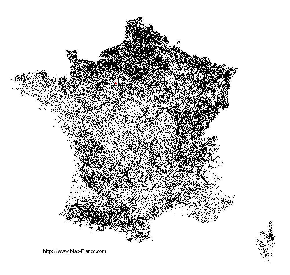
Saint-Maurice-Saint-Germain on the relief France map in Lambert 93 coordinates
|
See the map of Saint-Maurice-Saint-Germain in full screen (1000 x 949)
|
At left, here is the location of Saint-Maurice-Saint-Germain on the relief France map in Lambert 93 coordinates.
Here are the altitudes of Saint-Maurice-Saint-Germain :
- Town hall altitude of Saint-Maurice-Saint-Germain is 190 meters
- Minimum altitude of Saint-Maurice-Saint-Germain is 181 meters
- Maximum altitude of Saint-Maurice-Saint-Germain is 275 meters
- Medium altitude of Saint-Maurice-Saint-Germain is 228 meters
Here are the altitudes of Chartres, prefecture of Eure-et-Loir department:
- Town hall altitude of Chartres is 140 meters
- Minimum altitude of Chartres is 121 meters
- Maximum altitude of Chartres is 161 meters
- Medium altitude of Chartres is 141 meters
Here are the altitudes of the french biggest cities:
Paris : 33 meters
Marseille : 20 meters
Lyon : 237 meters
Toulouse : 146 meters
Nice : 10 meters
Nantes : 20 meters
Strasbourg : 144 meters
Montpellier : 35 meters
Bordeaux : 16 meters
Lille : 20 meters
Rennes : 35 meters
Reims : 83 meters
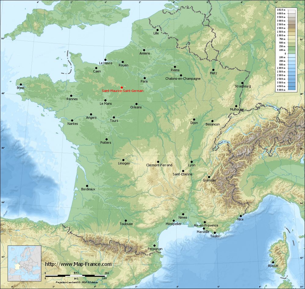
Click here for the terrain map of Saint-Maurice-Saint-Germain in full screen:
Relief map of Saint-Maurice-Saint-Germain
|
This relief map of Saint-Maurice-Saint-Germain is reusable and modifiable by making a link to this page of the Map-France.com website or by using the given code :
|
Terrain base map of Saint-Maurice-Saint-Germain
|

See the terrain base map of Saint-Maurice-Saint-Germain in full screen (1000 x 949)
|
Small relief base map of Saint-Maurice-Saint-Germain

|
This base map of Saint-Maurice-Saint-Germain is reusable and modifiable by making a link to this page of the Map-France.com website or by using the given code :
|
Map of Saint-Maurice-Saint-Germain with regions and prefectures
|
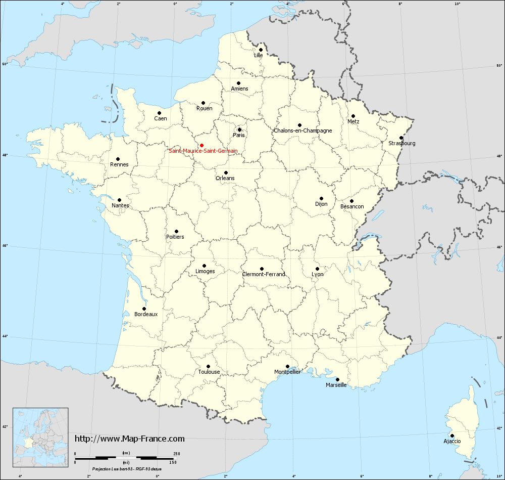
View the map of Saint-Maurice-Saint-Germain in full screen (1000 x 949)
|
You will find the location of Saint-Maurice-Saint-Germain on the map of France of regions in Lambert 93 coordinates. The town of Saint-Maurice-Saint-Germain is located in the department of Eure-et-Loir of the french region Centre.
Geographical sexagesimal coordinates / GPS (WGS84):
Latitude: 48° 29' 50'' North
Longitude: 01° 04' 38'' East
Geographical decimal coordinates :
Latitude: 48.498 degrees (48.498° North)
Longitude: 1.078 degrees (1.078° East)
Lambert 93 coordinates :
X: 5 580 hectometers
Y: 68 236 hectometers
Lambert 2 coordinates :
X: 5 069 hectometers
Y: 23 895 hectometers
Below, the geographical coordinates of Chartres, prefecture of the Eure-et-Loir department:
Geographical sexagesimal coordinates / GPS (WGS84):
Latitude: 48° 26' 48'' North
Longitude: 01° 29' 18'' East
Geographical decimal coordinates :
Latitude: 48.446 degrees (48.446° North)
Longitude: 1.492 degrees (1.492° East)
Lambert 93 coordinates :
X: 5 882 hectometers
Y: 68 173 hectometers
Lambert 2 coordinates :
X: 5 372 hectometers
Y: 23 834 hectometers
|
This map of Saint-Maurice-Saint-Germain is reusable and modifiable by making a link to this page of the Map-France.com website or by using the given code :
|
Map of Saint-Maurice-Saint-Germain with departments and prefectures
|
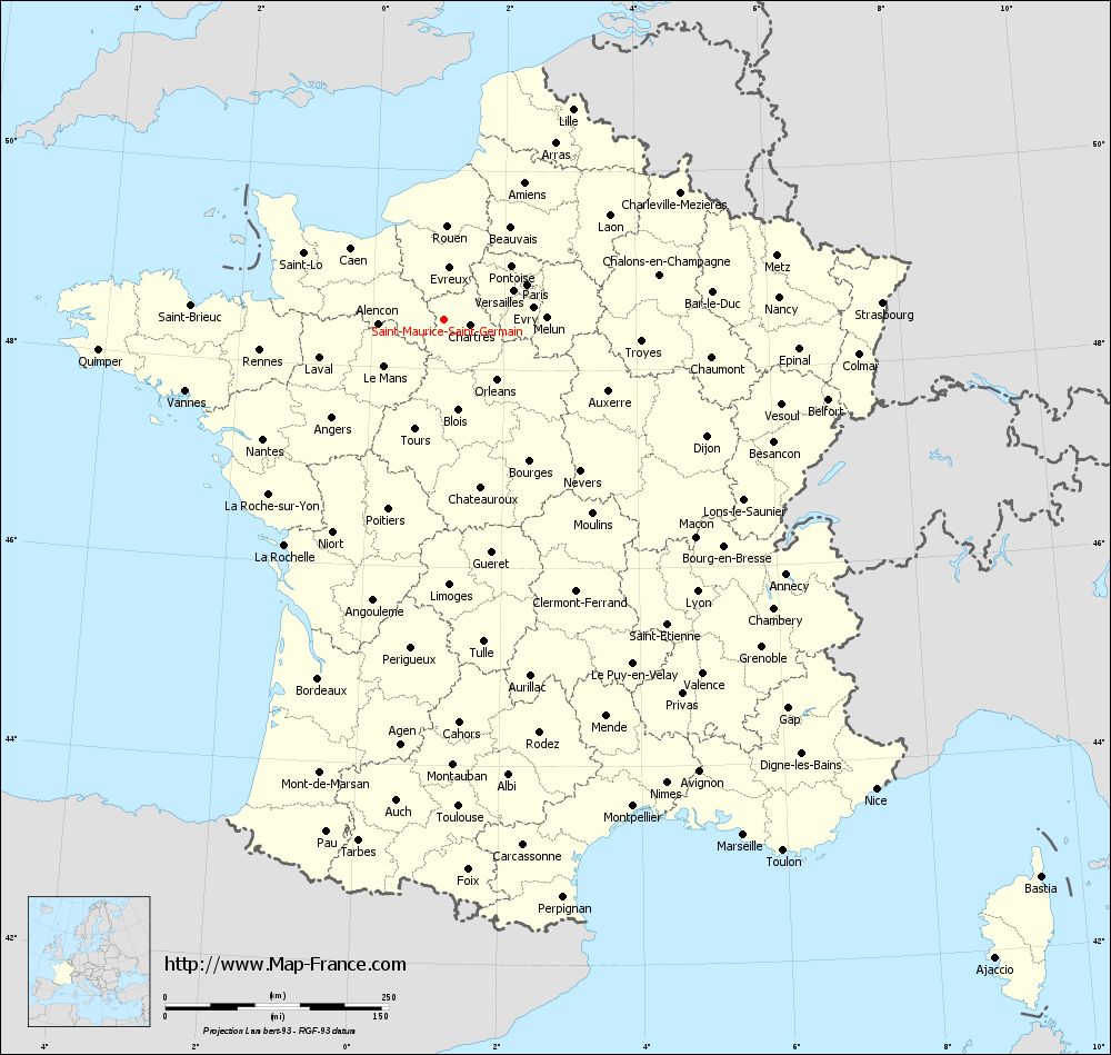
Voir la carte of Saint-Maurice-Saint-Germain en grand format (1000 x 949)
|
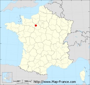
Here is the localization of Saint-Maurice-Saint-Germain on the France map of departments in Lambert 93 coordinates. The city of Saint-Maurice-Saint-Germain is shown on the map by a red point.
The town of Saint-Maurice-Saint-Germain is located in the department of Eure-et-Loir of the french region Centre.
The latitude of Saint-Maurice-Saint-Germain is 48.498 degrees North.
The longitude of Saint-Maurice-Saint-Germain is 1.078 degrees East.
Here the distance between Saint-Maurice-Saint-Germain and the biggest cities of France:
Distances are calculated as the crow flies (orthodromic distance)
Distance between Saint-Maurice-Saint-Germain and Paris : 101.37 kilometers
Distance between Saint-Maurice-Saint-Germain and Marseille : 667.23 kilometers
Distance between Saint-Maurice-Saint-Germain and Lyon : 416.09 kilometers
Distance between Saint-Maurice-Saint-Germain and Toulouse : 544.96 kilometers
Distance between Saint-Maurice-Saint-Germain and Nice : 714 kilometers
Distance between Saint-Maurice-Saint-Germain and Nantes : 242.21 kilometers
Distance between Saint-Maurice-Saint-Germain and Strasbourg : 491.18 kilometers
Distance between Saint-Maurice-Saint-Germain and Montpellier : 584.34 kilometers
Distance between Saint-Maurice-Saint-Germain and Bordeaux : 425.17 kilometers
Distance between Saint-Maurice-Saint-Germain and Lille : 275.83 kilometers
Distance between Saint-Maurice-Saint-Germain and Rennes : 208.39 kilometers
Distance between Saint-Maurice-Saint-Germain and Reims : 231.73 kilometers
Clic here to see the map of Saint-Maurice-Saint-Germain in full screen:
Saint-Maurice-Saint-Germain on the map of french departments
|
This administrative map of Saint-Maurice-Saint-Germain is reusable and modifiable by making a link to this page of the Map-France.com website or by using the given code :
|
Administrative base maps of Saint-Maurice-Saint-Germain
|

See the administrative base map of Saint-Maurice-Saint-Germain in full screen (1000 x 949)
|
Small administrative base map of Saint-Maurice-Saint-Germain
|
This base map administrative of Saint-Maurice-Saint-Germain is reusable and modifiable by making a link to this page of the Map-France.com website or by using the given code :
|
 French Version : http://www.cartesfrance.fr