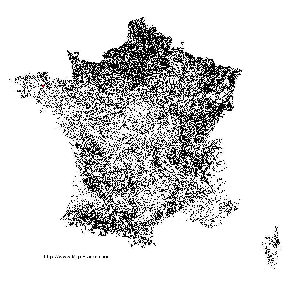
Saint-Nicolas-du-Pélem on the relief France map in Lambert 93 coordinates
|

See the map of Saint-Nicolas-du-Pélem in full screen (1000 x 949)
|
At left, here is the location of Saint-Nicolas-du-Pélem on the relief France map in Lambert 93 coordinates.
Here are the altitudes of Saint-Nicolas-du-Pélem :
- Town hall altitude of Saint-Nicolas-du-Pélem is 180 meters
- Minimum altitude of Saint-Nicolas-du-Pélem is 139 meters
- Maximum altitude of Saint-Nicolas-du-Pélem is 291 meters
- Medium altitude of Saint-Nicolas-du-Pélem is 215 meters
Here are the altitudes of Saint-Brieuc, prefecture of Côtes-d'Armor department:
- Town hall altitude of Saint-Brieuc is 100 meters
- Minimum altitude of Saint-Brieuc is 0 meters
- Maximum altitude of Saint-Brieuc is 134 meters
- Medium altitude of Saint-Brieuc is 67 meters
Here are the altitudes of the french biggest cities:
Paris : 33 meters
Marseille : 20 meters
Lyon : 237 meters
Toulouse : 146 meters
Nice : 10 meters
Nantes : 20 meters
Strasbourg : 144 meters
Montpellier : 35 meters
Bordeaux : 16 meters
Lille : 20 meters
Rennes : 35 meters
Reims : 83 meters
Click here for the terrain map of Saint-Nicolas-du-Pélem in full screen:
Relief map of Saint-Nicolas-du-Pélem
|
This relief map of Saint-Nicolas-du-Pélem is reusable and modifiable by making a link to this page of the Map-France.com website or by using the given code :
|
Terrain base map of Saint-Nicolas-du-Pélem
|

See the terrain base map of Saint-Nicolas-du-Pélem in full screen (1000 x 949)
|
Small relief base map of Saint-Nicolas-du-Pélem

|
This base map of Saint-Nicolas-du-Pélem is reusable and modifiable by making a link to this page of the Map-France.com website or by using the given code :
|
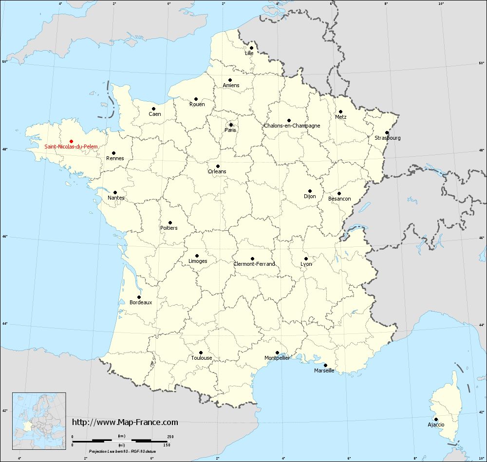
Map of Saint-Nicolas-du-Pélem with regions and prefectures
|
View the map of Saint-Nicolas-du-Pélem in full screen (1000 x 949)
|
You will find the location of Saint-Nicolas-du-Pélem on the map of France of regions in Lambert 93 coordinates. The town of Saint-Nicolas-du-Pélem is located in the department of Côtes-d'Armor of the french region Bretagne.
Geographical sexagesimal coordinates / GPS (WGS84):
Latitude: 48° 18' 47'' North
Longitude: 03° 09' 52'' West
Geographical decimal coordinates :
Latitude: 48.314 degrees (48.314° North)
Longitude: -3.16 degrees (3.16° West)
Lambert 93 coordinates :
X: 2 434 hectometers
Y: 68 193 hectometers
Lambert 2 coordinates :
X: 1 922 hectometers
Y: 23 825 hectometers
Below, the geographical coordinates of Saint-Brieuc, prefecture of the Côtes-d'Armor department:
Geographical sexagesimal coordinates / GPS (WGS84):
Latitude: 48° 30' 49'' North
Longitude: 02° 45' 37'' West
Geographical decimal coordinates :
Latitude: 48.514 degrees (48.514° North)
Longitude: -2.773 degrees (2.773° West)
Lambert 93 coordinates :
X: 2 749 hectometers
Y: 68 392 hectometers
Lambert 2 coordinates :
X: 2 236 hectometers
Y: 24 027 hectometers
|
This map of Saint-Nicolas-du-Pélem is reusable and modifiable by making a link to this page of the Map-France.com website or by using the given code :
|
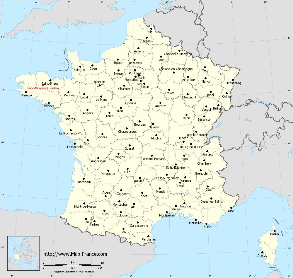
Map of Saint-Nicolas-du-Pélem with departments and prefectures
|
Voir la carte of Saint-Nicolas-du-Pélem en grand format (1000 x 949)
|
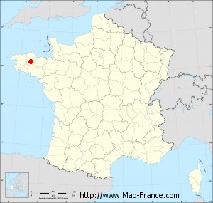
Here is the localization of Saint-Nicolas-du-Pélem on the France map of departments in Lambert 93 coordinates. The city of Saint-Nicolas-du-Pélem is shown on the map by a red point.
The town of Saint-Nicolas-du-Pélem is located in the department of Côtes-d'Armor of the french region Bretagne.
The latitude of Saint-Nicolas-du-Pélem is 48.314 degrees North.
The longitude of Saint-Nicolas-du-Pélem is 3.16 degrees West.
Here the distance between Saint-Nicolas-du-Pélem and the biggest cities of France:
Distances are calculated as the crow flies (orthodromic distance)
Distance between Saint-Nicolas-du-Pélem and Paris : 409.07 kilometers
Distance between Saint-Nicolas-du-Pélem and Marseille : 865.18 kilometers
Distance between Saint-Nicolas-du-Pélem and Lyon : 668.14 kilometers
Distance between Saint-Nicolas-du-Pélem and Toulouse : 633.06 kilometers
Distance between Saint-Nicolas-du-Pélem and Nice : 952.1 kilometers
Distance between Saint-Nicolas-du-Pélem and Nantes : 170.8 kilometers
Distance between Saint-Nicolas-du-Pélem and Strasbourg : 804.3 kilometers
Distance between Saint-Nicolas-du-Pélem and Montpellier : 753.34 kilometers
Distance between Saint-Nicolas-du-Pélem and Bordeaux : 433.15 kilometers
Distance between Saint-Nicolas-du-Pélem and Lille : 516.27 kilometers
Distance between Saint-Nicolas-du-Pélem and Rennes : 111.9 kilometers
Distance between Saint-Nicolas-du-Pélem and Reims : 536.56 kilometers
Clic here to see the map of Saint-Nicolas-du-Pélem in full screen:
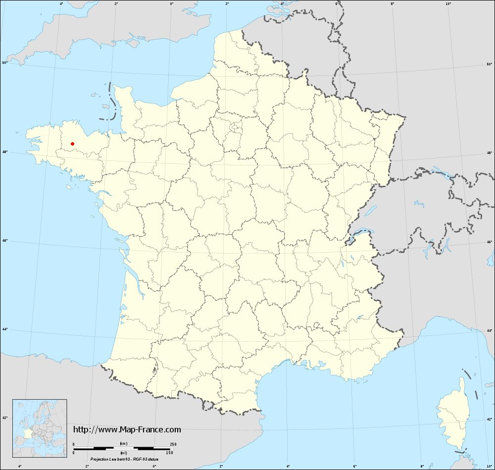
Saint-Nicolas-du-Pélem on the map of french departments
|
This administrative map of Saint-Nicolas-du-Pélem is reusable and modifiable by making a link to this page of the Map-France.com website or by using the given code :
|
Administrative base maps of Saint-Nicolas-du-Pélem
|
See the administrative base map of Saint-Nicolas-du-Pélem in full screen (1000 x 949)
|
Small administrative base map of Saint-Nicolas-du-Pélem
|
This base map administrative of Saint-Nicolas-du-Pélem is reusable and modifiable by making a link to this page of the Map-France.com website or by using the given code :
|
 French Version : http://www.cartesfrance.fr