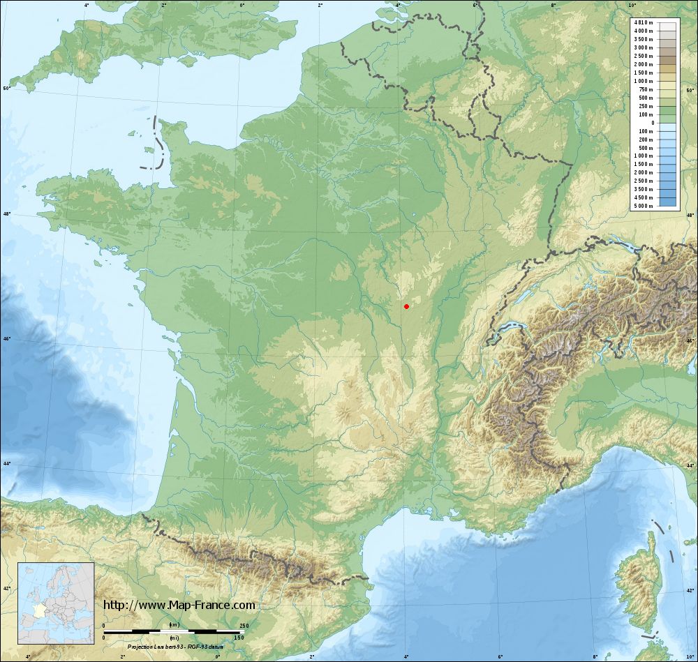
Saint-Nizier-sur-Arroux on the relief France map in Lambert 93 coordinates
|

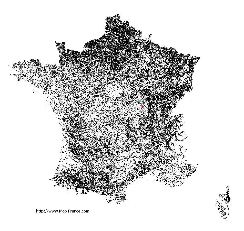
See the map of Saint-Nizier-sur-Arroux in full screen (1000 x 949)
|
At left, here is the location of Saint-Nizier-sur-Arroux on the relief France map in Lambert 93 coordinates.
Here are the altitudes of Saint-Nizier-sur-Arroux :
- Town hall altitude of Saint-Nizier-sur-Arroux is 271 meters
- Minimum altitude of Saint-Nizier-sur-Arroux is 262 meters
- Maximum altitude of Saint-Nizier-sur-Arroux is 362 meters
- Medium altitude of Saint-Nizier-sur-Arroux is 312 meters
Here are the altitudes of Mâcon, prefecture of Saône-et-Loire department:
- Town hall altitude of Mâcon is 190 meters
- Minimum altitude of Mâcon is 167 meters
- Maximum altitude of Mâcon is 347 meters
- Medium altitude of Mâcon is 257 meters
Here are the altitudes of the french biggest cities:
Paris : 33 meters
Marseille : 20 meters
Lyon : 237 meters
Toulouse : 146 meters
Nice : 10 meters
Nantes : 20 meters
Strasbourg : 144 meters
Montpellier : 35 meters
Bordeaux : 16 meters
Lille : 20 meters
Rennes : 35 meters
Reims : 83 meters
Click here for the terrain map of Saint-Nizier-sur-Arroux in full screen:
Relief map of Saint-Nizier-sur-Arroux
|
This relief map of Saint-Nizier-sur-Arroux is reusable and modifiable by making a link to this page of the Map-France.com website or by using the given code :
|
Terrain base map of Saint-Nizier-sur-Arroux
|
See the terrain base map of Saint-Nizier-sur-Arroux in full screen (1000 x 949)
|
Small relief base map of Saint-Nizier-sur-Arroux

|
This base map of Saint-Nizier-sur-Arroux is reusable and modifiable by making a link to this page of the Map-France.com website or by using the given code :
|
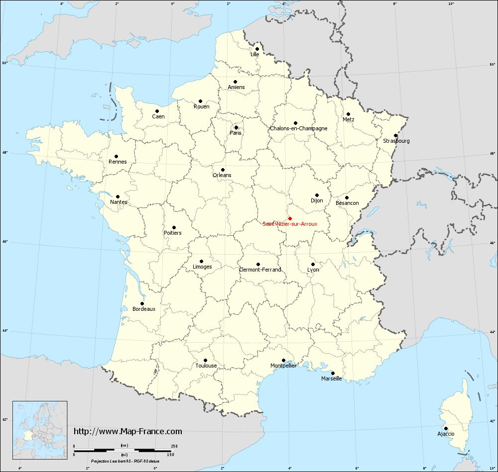
Map of Saint-Nizier-sur-Arroux with regions and prefectures
|
View the map of Saint-Nizier-sur-Arroux in full screen (1000 x 949)
|
You will find the location of Saint-Nizier-sur-Arroux on the map of France of regions in Lambert 93 coordinates. The town of Saint-Nizier-sur-Arroux is located in the department of Saône-et-Loire of the french region Bourgogne.
Geographical sexagesimal coordinates / GPS (WGS84):
Latitude: 46° 48' 16'' North
Longitude: 04° 08' 20'' East
Geographical decimal coordinates :
Latitude: 46.803 degrees (46.803° North)
Longitude: 4.141 degrees (4.141° East)
Lambert 93 coordinates :
X: 7 869 hectometers
Y: 66 345 hectometers
Lambert 2 coordinates :
X: 7 376 hectometers
Y: 22 021 hectometers
Below, the geographical coordinates of Mâcon, prefecture of the Saône-et-Loire department:
Geographical sexagesimal coordinates / GPS (WGS84):
Latitude: 46° 18' 24'' North
Longitude: 04° 49' 55'' East
Geographical decimal coordinates :
Latitude: 46.308 degrees (46.308° North)
Longitude: 4.831 degrees (4.831° East)
Lambert 93 coordinates :
X: 8 410 hectometers
Y: 65 802 hectometers
Lambert 2 coordinates :
X: 7 922 hectometers
Y: 21 482 hectometers
|
This map of Saint-Nizier-sur-Arroux is reusable and modifiable by making a link to this page of the Map-France.com website or by using the given code :
|
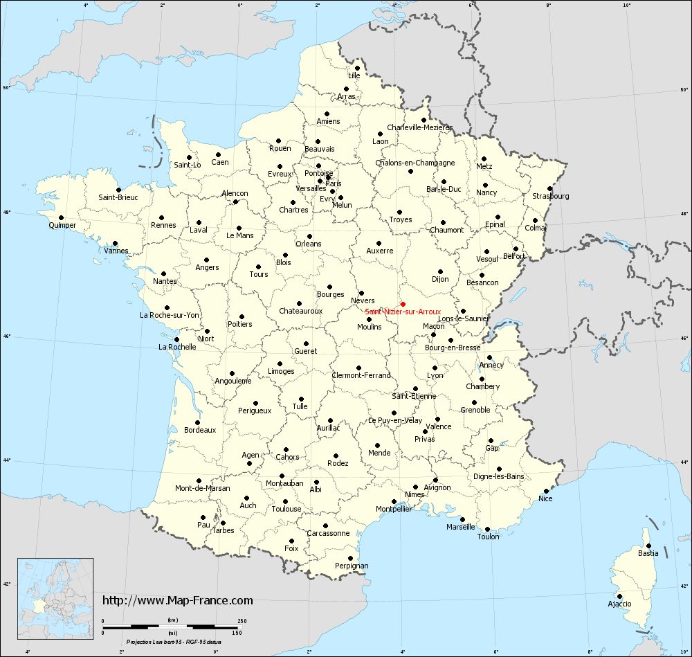
Map of Saint-Nizier-sur-Arroux with departments and prefectures
|
Voir la carte of Saint-Nizier-sur-Arroux en grand format (1000 x 949)
|
Here is the localization of Saint-Nizier-sur-Arroux on the France map of departments in Lambert 93 coordinates. The city of Saint-Nizier-sur-Arroux is shown on the map by a red point.
The town of Saint-Nizier-sur-Arroux is located in the department of Saône-et-Loire of the french region Bourgogne.
The latitude of Saint-Nizier-sur-Arroux is 46.803 degrees North.
The longitude of Saint-Nizier-sur-Arroux is 4.141 degrees East.
Here the distance between Saint-Nizier-sur-Arroux and the biggest cities of France:
Distances are calculated as the crow flies (orthodromic distance)
Distance between Saint-Nizier-sur-Arroux and Paris : 264.89 kilometers
Distance between Saint-Nizier-sur-Arroux and Marseille : 401.85 kilometers
Distance between Saint-Nizier-sur-Arroux and Lyon : 127.61 kilometers
Distance between Saint-Nizier-sur-Arroux and Toulouse : 413.5 kilometers
Distance between Saint-Nizier-sur-Arroux and Nice : 421.86 kilometers
Distance between Saint-Nizier-sur-Arroux and Nantes : 433.77 kilometers
Distance between Saint-Nizier-sur-Arroux and Strasbourg : 334.99 kilometers
Distance between Saint-Nizier-sur-Arroux and Montpellier : 355.53 kilometers
Distance between Saint-Nizier-sur-Arroux and Bordeaux : 425.03 kilometers
Distance between Saint-Nizier-sur-Arroux and Lille : 432.46 kilometers
Distance between Saint-Nizier-sur-Arroux and Rennes : 460.55 kilometers
Distance between Saint-Nizier-sur-Arroux and Reims : 272.85 kilometers
Clic here to see the map of Saint-Nizier-sur-Arroux in full screen:
Saint-Nizier-sur-Arroux on the map of french departments
|
This administrative map of Saint-Nizier-sur-Arroux is reusable and modifiable by making a link to this page of the Map-France.com website or by using the given code :
|
Administrative base maps of Saint-Nizier-sur-Arroux
|

See the administrative base map of Saint-Nizier-sur-Arroux in full screen (1000 x 949)
|
Small administrative base map of Saint-Nizier-sur-Arroux
|
This base map administrative of Saint-Nizier-sur-Arroux is reusable and modifiable by making a link to this page of the Map-France.com website or by using the given code :
|
 French Version : http://www.cartesfrance.fr