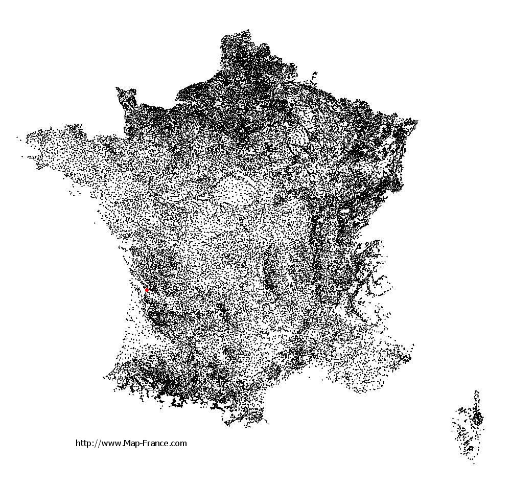
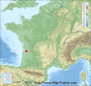
Saint-Palais on the relief France map in Lambert 93 coordinates
|

See the map of Saint-Palais in full screen (1000 x 949)
|
At left, here is the location of Saint-Palais on the relief France map in Lambert 93 coordinates.
Here are the altitudes of Saint-Palais :
- Town hall altitude of Saint-Palais is 70 meters
- Minimum altitude of Saint-Palais is 7 meters
- Maximum altitude of Saint-Palais is 91 meters
- Medium altitude of Saint-Palais is 49 meters
Here are the altitudes of Bordeaux, prefecture of Gironde department:
- Town hall altitude of Bordeaux is 16 meters
- Minimum altitude of Bordeaux is 1 meters
- Maximum altitude of Bordeaux is 42 meters
- Medium altitude of Bordeaux is 22 meters
Here are the altitudes of the french biggest cities:
Paris : 33 meters
Marseille : 20 meters
Lyon : 237 meters
Toulouse : 146 meters
Nice : 10 meters
Nantes : 20 meters
Strasbourg : 144 meters
Montpellier : 35 meters
Bordeaux : 16 meters
Lille : 20 meters
Rennes : 35 meters
Reims : 83 meters
Click here for the terrain map of Saint-Palais in full screen:
Relief map of Saint-Palais
|
This relief map of Saint-Palais is reusable and modifiable by making a link to this page of the Map-France.com website or by using the given code :
|
Terrain base map of Saint-Palais
|

See the terrain base map of Saint-Palais in full screen (1000 x 949)
|
Small relief base map of Saint-Palais
|
This base map of Saint-Palais is reusable and modifiable by making a link to this page of the Map-France.com website or by using the given code :
|
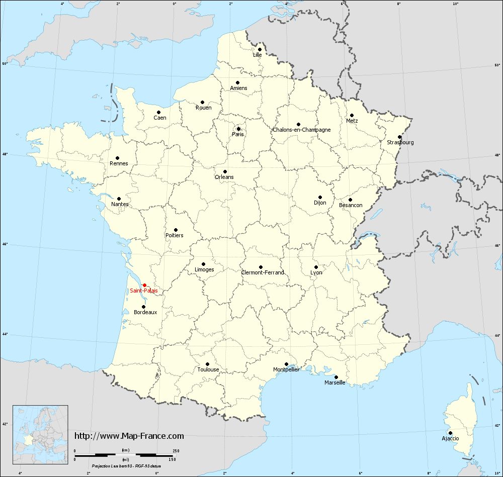
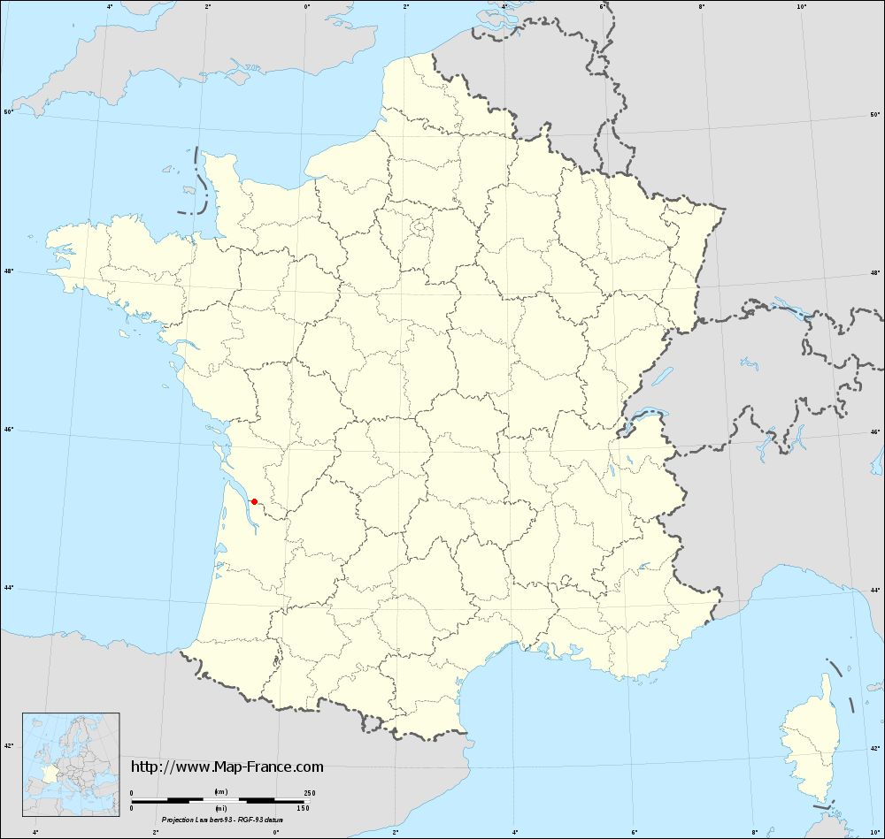
Map of Saint-Palais with regions and prefectures
|
View the map of Saint-Palais in full screen (1000 x 949)
|
You will find the location of Saint-Palais on the map of France of regions in Lambert 93 coordinates. The town of Saint-Palais is located in the department of Gironde of the french region Aquitaine.
Geographical sexagesimal coordinates / GPS (WGS84):
Latitude: 45° 18' 50'' North
Longitude: 00° 35' 23'' West
Geographical decimal coordinates :
Latitude: 45.314 degrees (45.314° North)
Longitude: -0.589 degrees (0.589° West)
Lambert 93 coordinates :
X: 4 188 hectometers
Y: 64 747 hectometers
Lambert 2 coordinates :
X: 3 705 hectometers
Y: 20 391 hectometers
Below, the geographical coordinates of Bordeaux, prefecture of the Gironde department:
Geographical sexagesimal coordinates / GPS (WGS84):
Latitude: 44° 50' 16'' North
Longitude: 00° 34' 46'' West
Geographical decimal coordinates :
Latitude: 44.843 degrees (44.843° North)
Longitude: -0.575 degrees (0.575° West)
Lambert 93 coordinates :
X: 4 172 hectometers
Y: 64 218 hectometers
Lambert 2 coordinates :
X: 3 694 hectometers
Y: 19 862 hectometers
|
This map of Saint-Palais is reusable and modifiable by making a link to this page of the Map-France.com website or by using the given code :
|
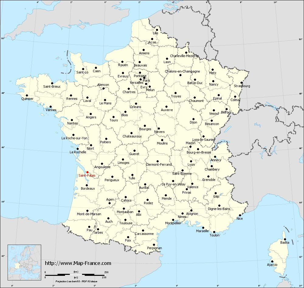
Map of Saint-Palais with departments and prefectures
|
Voir la carte of Saint-Palais en grand format (1000 x 949)
|
Here is the localization of Saint-Palais on the France map of departments in Lambert 93 coordinates. The city of Saint-Palais is shown on the map by a red point.
The town of Saint-Palais is located in the department of Gironde of the french region Aquitaine.
The latitude of Saint-Palais is 45.314 degrees North.
The longitude of Saint-Palais is 0.589 degrees West.
Here the distance between Saint-Palais and the biggest cities of France:
Distances are calculated as the crow flies (orthodromic distance)
Distance between Saint-Palais and Paris : 452.24 kilometers
Distance between Saint-Palais and Marseille : 526.05 kilometers
Distance between Saint-Palais and Lyon : 424.93 kilometers
Distance between Saint-Palais and Toulouse : 249.82 kilometers
Distance between Saint-Palais and Nice : 646.93 kilometers
Distance between Saint-Palais and Nantes : 224.28 kilometers
Distance between Saint-Palais and Strasbourg : 729.25 kilometers
Distance between Saint-Palais and Montpellier : 401.36 kilometers
Distance between Saint-Palais and Bordeaux : 52.32 kilometers
Distance between Saint-Palais and Lille : 649.18 kilometers
Distance between Saint-Palais and Rennes : 321.34 kilometers
Distance between Saint-Palais and Reims : 559.52 kilometers
Clic here to see the map of Saint-Palais in full screen:
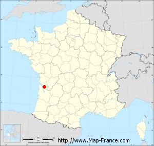
Saint-Palais on the map of french departments
|
This administrative map of Saint-Palais is reusable and modifiable by making a link to this page of the Map-France.com website or by using the given code :
|
Administrative base maps of Saint-Palais
|
See the administrative base map of Saint-Palais in full screen (1000 x 949)
|
Small administrative base map of Saint-Palais
|
This base map administrative of Saint-Palais is reusable and modifiable by making a link to this page of the Map-France.com website or by using the given code :
|
 French Version : http://www.cartesfrance.fr