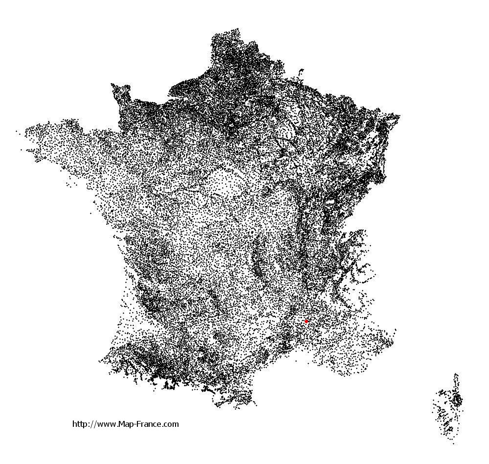
Saint-Paul-Trois-Châteaux on the relief France map in Lambert 93 coordinates
|

See the map of Saint-Paul-Trois-Châteaux in full screen (1000 x 949)
|
At left, here is the location of Saint-Paul-Trois-Châteaux on the relief France map in Lambert 93 coordinates.
Here are the altitudes of Saint-Paul-Trois-Châteaux :
- Town hall altitude of Saint-Paul-Trois-Châteaux is 100 meters
- Minimum altitude of Saint-Paul-Trois-Châteaux is 49 meters
- Maximum altitude of Saint-Paul-Trois-Châteaux is 290 meters
- Medium altitude of Saint-Paul-Trois-Châteaux is 170 meters
Here are the altitudes of Valence, prefecture of Drôme department:
- Town hall altitude of Valence is 126 meters
- Minimum altitude of Valence is 106 meters
- Maximum altitude of Valence is 191 meters
- Medium altitude of Valence is 149 meters
Here are the altitudes of the french biggest cities:
Paris : 33 meters
Marseille : 20 meters
Lyon : 237 meters
Toulouse : 146 meters
Nice : 10 meters
Nantes : 20 meters
Strasbourg : 144 meters
Montpellier : 35 meters
Bordeaux : 16 meters
Lille : 20 meters
Rennes : 35 meters
Reims : 83 meters
Click here for the terrain map of Saint-Paul-Trois-Châteaux in full screen:
Relief map of Saint-Paul-Trois-Châteaux
|
This relief map of Saint-Paul-Trois-Châteaux is reusable and modifiable by making a link to this page of the Map-France.com website or by using the given code :
|
Terrain base map of Saint-Paul-Trois-Châteaux
|

See the terrain base map of Saint-Paul-Trois-Châteaux in full screen (1000 x 949)
|
Small relief base map of Saint-Paul-Trois-Châteaux

|
This base map of Saint-Paul-Trois-Châteaux is reusable and modifiable by making a link to this page of the Map-France.com website or by using the given code :
|
Map of Saint-Paul-Trois-Châteaux with regions and prefectures
|
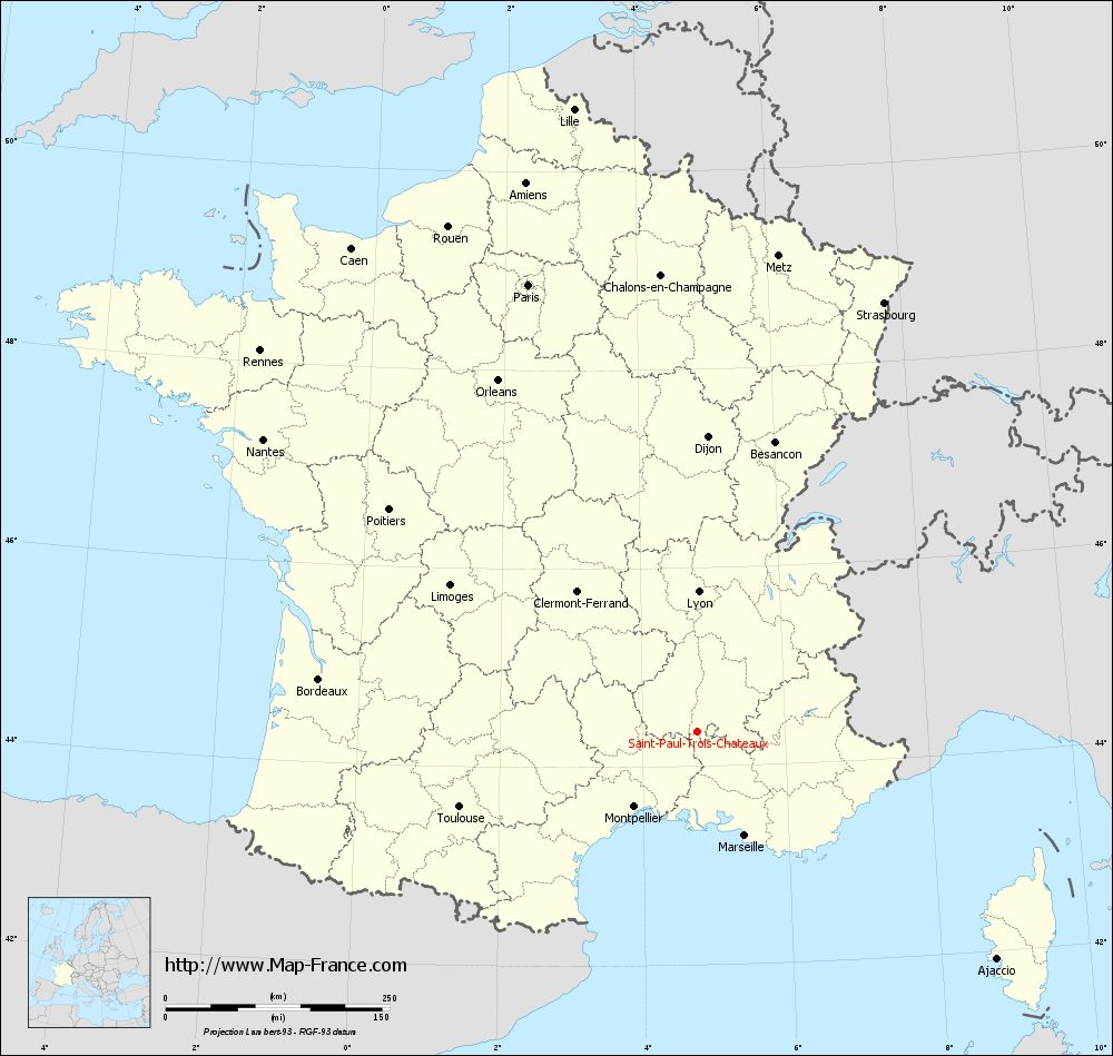
View the map of Saint-Paul-Trois-Châteaux in full screen (1000 x 949)
|
You will find the location of Saint-Paul-Trois-Châteaux on the map of France of regions in Lambert 93 coordinates. The city of Saint-Paul-Trois-Châteaux is located in the department of Drôme of the french region Rhône-Alpes.
Geographical sexagesimal coordinates / GPS (WGS84):
Latitude: 44° 20' 56'' North
Longitude: 04° 46' 07'' East
Geographical decimal coordinates :
Latitude: 44.349 degrees (44.349° North)
Longitude: 4.768 degrees (4.768° East)
Lambert 93 coordinates :
X: 8 410 hectometers
Y: 63 627 hectometers
Lambert 2 coordinates :
X: 7 940 hectometers
Y: 19 305 hectometers
Below, the geographical coordinates of Valence, prefecture of the Drôme department:
Geographical sexagesimal coordinates / GPS (WGS84):
Latitude: 44° 55' 57'' North
Longitude: 04° 53' 27'' East
Geographical decimal coordinates :
Latitude: 44.927 degrees (44.927° North)
Longitude: 4.895 degrees (4.895° East)
Lambert 93 coordinates :
X: 8 492 hectometers
Y: 64 277 hectometers
Lambert 2 coordinates :
X: 8 017 hectometers
Y: 19 957 hectometers
|
This map of Saint-Paul-Trois-Châteaux is reusable and modifiable by making a link to this page of the Map-France.com website or by using the given code :
|
Map of Saint-Paul-Trois-Châteaux with departments and prefectures
|
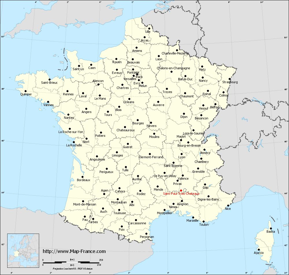
Voir la carte of Saint-Paul-Trois-Châteaux en grand format (1000 x 949)
|
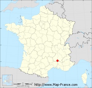
Here is the localization of Saint-Paul-Trois-Châteaux on the France map of departments in Lambert 93 coordinates. The city of Saint-Paul-Trois-Châteaux is shown on the map by a red point.
The city of Saint-Paul-Trois-Châteaux is located in the department of Drôme of the french region Rhône-Alpes.
The latitude of Saint-Paul-Trois-Châteaux is 44.349 degrees North.
The longitude of Saint-Paul-Trois-Châteaux is 4.768 degrees East.
Here the distance between Saint-Paul-Trois-Châteaux and the biggest cities of France:
Distances are calculated as the crow flies (orthodromic distance)
Distance between Saint-Paul-Trois-Châteaux and Paris : 534.19 kilometers
Distance between Saint-Paul-Trois-Châteaux and Marseille : 127.36 kilometers
Distance between Saint-Paul-Trois-Châteaux and Lyon : 156.78 kilometers
Distance between Saint-Paul-Trois-Châteaux and Toulouse : 278.04 kilometers
Distance between Saint-Paul-Trois-Châteaux and Nice : 211.65 kilometers
Distance between Saint-Paul-Trois-Châteaux and Nantes : 584.2 kilometers
Distance between Saint-Paul-Trois-Châteaux and Strasbourg : 523.03 kilometers
Distance between Saint-Paul-Trois-Châteaux and Montpellier : 108.99 kilometers
Distance between Saint-Paul-Trois-Châteaux and Bordeaux : 426.2 kilometers
Distance between Saint-Paul-Trois-Châteaux and Lille : 709.44 kilometers
Distance between Saint-Paul-Trois-Châteaux and Rennes : 647.71 kilometers
Distance between Saint-Paul-Trois-Châteaux and Reims : 548.24 kilometers
Clic here to see the map of Saint-Paul-Trois-Châteaux in full screen:
Saint-Paul-Trois-Châteaux on the map of french departments
|
This administrative map of Saint-Paul-Trois-Châteaux is reusable and modifiable by making a link to this page of the Map-France.com website or by using the given code :
|
Administrative base maps of Saint-Paul-Trois-Châteaux
|
See the administrative base map of Saint-Paul-Trois-Châteaux in full screen (1000 x 949)
|
Small administrative base map of Saint-Paul-Trois-Châteaux
|
This base map administrative of Saint-Paul-Trois-Châteaux is reusable and modifiable by making a link to this page of the Map-France.com website or by using the given code :
|
 French Version : http://www.cartesfrance.fr