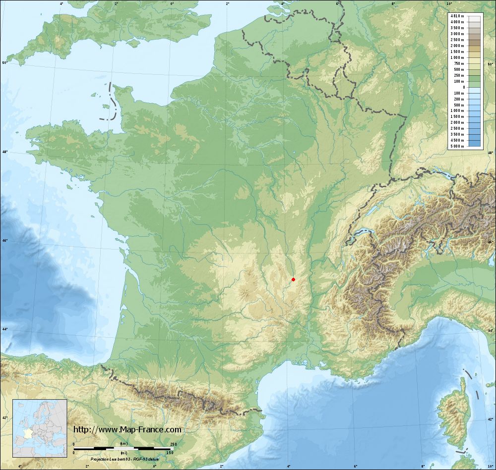
Saint-Paul-en-Cornillon on the relief France map in Lambert 93 coordinates
|

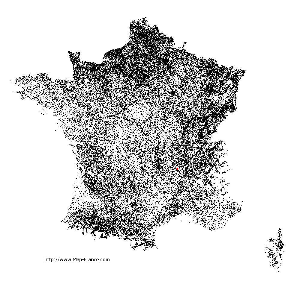
See the map of Saint-Paul-en-Cornillon in full screen (1000 x 949)
|
At left, here is the location of Saint-Paul-en-Cornillon on the relief France map in Lambert 93 coordinates.
Here are the altitudes of Saint-Paul-en-Cornillon :
- Town hall altitude of Saint-Paul-en-Cornillon is 453 meters
- Minimum altitude of Saint-Paul-en-Cornillon is 422 meters
- Maximum altitude of Saint-Paul-en-Cornillon is 713 meters
- Medium altitude of Saint-Paul-en-Cornillon is 568 meters
Here are the altitudes of Saint-Étienne, prefecture of Loire department:
- Town hall altitude of Saint-Étienne is 515 meters
- Minimum altitude of Saint-Étienne is 422 meters
- Maximum altitude of Saint-Étienne is 1 117 meters
- Medium altitude of Saint-Étienne is 770 meters
Here are the altitudes of the french biggest cities:
Paris : 33 meters
Marseille : 20 meters
Lyon : 237 meters
Toulouse : 146 meters
Nice : 10 meters
Nantes : 20 meters
Strasbourg : 144 meters
Montpellier : 35 meters
Bordeaux : 16 meters
Lille : 20 meters
Rennes : 35 meters
Reims : 83 meters
Click here for the terrain map of Saint-Paul-en-Cornillon in full screen:
Relief map of Saint-Paul-en-Cornillon
|
This relief map of Saint-Paul-en-Cornillon is reusable and modifiable by making a link to this page of the Map-France.com website or by using the given code :
|
Terrain base map of Saint-Paul-en-Cornillon
|
See the terrain base map of Saint-Paul-en-Cornillon in full screen (1000 x 949)
|
Small relief base map of Saint-Paul-en-Cornillon

|
This base map of Saint-Paul-en-Cornillon is reusable and modifiable by making a link to this page of the Map-France.com website or by using the given code :
|
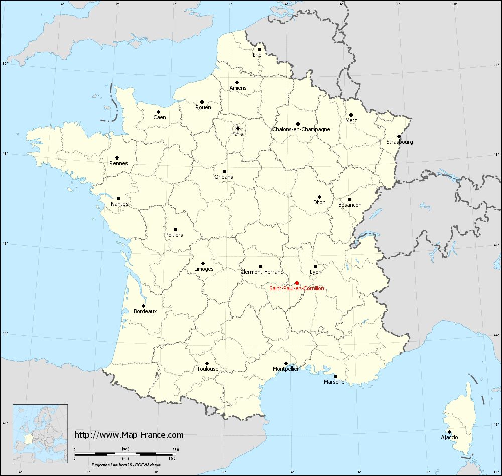
Map of Saint-Paul-en-Cornillon with regions and prefectures
|
View the map of Saint-Paul-en-Cornillon in full screen (1000 x 949)
|
You will find the location of Saint-Paul-en-Cornillon on the map of France of regions in Lambert 93 coordinates. The town of Saint-Paul-en-Cornillon is located in the department of Loire of the french region Rhône-Alpes.
Geographical sexagesimal coordinates / GPS (WGS84):
Latitude: 45° 23' 50'' North
Longitude: 04° 14' 26'' East
Geographical decimal coordinates :
Latitude: 45.398 degrees (45.398° North)
Longitude: 4.227 degrees (4.227° East)
Lambert 93 coordinates :
X: 7 971 hectometers
Y: 64 783 hectometers
Lambert 2 coordinates :
X: 7 491 hectometers
Y: 20 459 hectometers
Below, the geographical coordinates of Saint-Étienne, prefecture of the Loire department:
Geographical sexagesimal coordinates / GPS (WGS84):
Latitude: 45° 26' 02'' North
Longitude: 04° 23' 23'' East
Geographical decimal coordinates :
Latitude: 45.441 degrees (45.441° North)
Longitude: 4.39 degrees (4.39° East)
Lambert 93 coordinates :
X: 8 086 hectometers
Y: 64 825 hectometers
Lambert 2 coordinates :
X: 7 607 hectometers
Y: 20 502 hectometers
|
This map of Saint-Paul-en-Cornillon is reusable and modifiable by making a link to this page of the Map-France.com website or by using the given code :
|
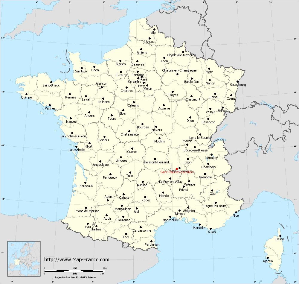
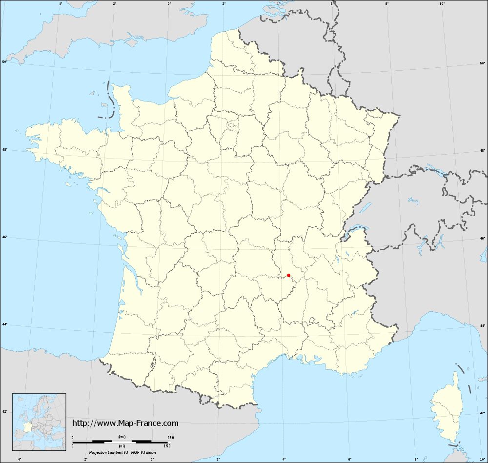
Map of Saint-Paul-en-Cornillon with departments and prefectures
|
Voir la carte of Saint-Paul-en-Cornillon en grand format (1000 x 949)
|
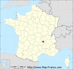
Here is the localization of Saint-Paul-en-Cornillon on the France map of departments in Lambert 93 coordinates. The city of Saint-Paul-en-Cornillon is shown on the map by a red point.
The town of Saint-Paul-en-Cornillon is located in the department of Loire of the french region Rhône-Alpes.
The latitude of Saint-Paul-en-Cornillon is 45.398 degrees North.
The longitude of Saint-Paul-en-Cornillon is 4.227 degrees East.
Here the distance between Saint-Paul-en-Cornillon and the biggest cities of France:
Distances are calculated as the crow flies (orthodromic distance)
Distance between Saint-Paul-en-Cornillon and Paris : 410.12 kilometers
Distance between Saint-Paul-en-Cornillon and Marseille : 251.3 kilometers
Distance between Saint-Paul-en-Cornillon and Lyon : 61.99 kilometers
Distance between Saint-Paul-en-Cornillon and Toulouse : 297.22 kilometers
Distance between Saint-Paul-en-Cornillon and Nice : 305.06 kilometers
Distance between Saint-Paul-en-Cornillon and Nantes : 487.5 kilometers
Distance between Saint-Paul-en-Cornillon and Strasbourg : 443.53 kilometers
Distance between Saint-Paul-en-Cornillon and Montpellier : 200.78 kilometers
Distance between Saint-Paul-en-Cornillon and Bordeaux : 381.47 kilometers
Distance between Saint-Paul-en-Cornillon and Lille : 587.65 kilometers
Distance between Saint-Paul-en-Cornillon and Rennes : 540.94 kilometers
Distance between Saint-Paul-en-Cornillon and Reims : 429.09 kilometers
Clic here to see the map of Saint-Paul-en-Cornillon in full screen:
Saint-Paul-en-Cornillon on the map of french departments
|
This administrative map of Saint-Paul-en-Cornillon is reusable and modifiable by making a link to this page of the Map-France.com website or by using the given code :
|
Administrative base maps of Saint-Paul-en-Cornillon
|
See the administrative base map of Saint-Paul-en-Cornillon in full screen (1000 x 949)
|
Small administrative base map of Saint-Paul-en-Cornillon
|
This base map administrative of Saint-Paul-en-Cornillon is reusable and modifiable by making a link to this page of the Map-France.com website or by using the given code :
|
 French Version : http://www.cartesfrance.fr