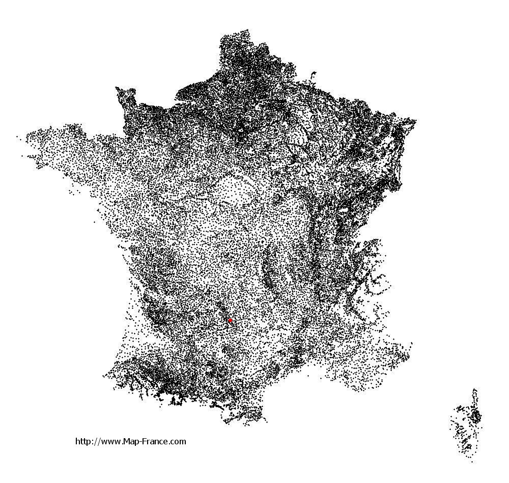
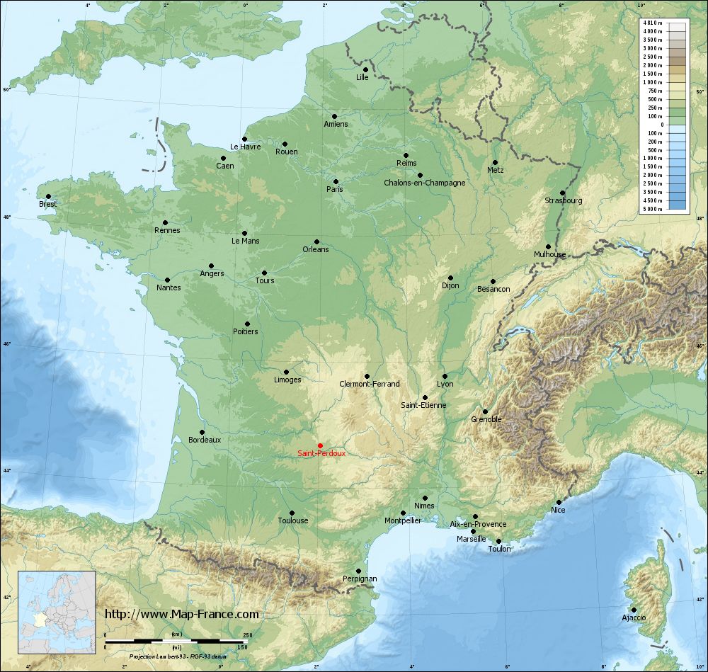
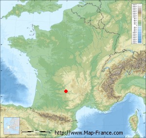
Saint-Perdoux on the relief France map in Lambert 93 coordinates
|
See the map of Saint-Perdoux in full screen (1000 x 949)
|
At left, here is the location of Saint-Perdoux on the relief France map in Lambert 93 coordinates.
Here are the altitudes of Saint-Perdoux :
- Town hall altitude of Saint-Perdoux is 300 meters
- Minimum altitude of Saint-Perdoux is 260 meters
- Maximum altitude of Saint-Perdoux is 526 meters
- Medium altitude of Saint-Perdoux is 393 meters
Here are the altitudes of Cahors, prefecture of Lot department:
- Town hall altitude of Cahors is 122 meters
- Minimum altitude of Cahors is 105 meters
- Maximum altitude of Cahors is 332 meters
- Medium altitude of Cahors is 219 meters
Here are the altitudes of the french biggest cities:
Paris : 33 meters
Marseille : 20 meters
Lyon : 237 meters
Toulouse : 146 meters
Nice : 10 meters
Nantes : 20 meters
Strasbourg : 144 meters
Montpellier : 35 meters
Bordeaux : 16 meters
Lille : 20 meters
Rennes : 35 meters
Reims : 83 meters
Click here for the terrain map of Saint-Perdoux in full screen:
Relief map of Saint-Perdoux
|
This relief map of Saint-Perdoux is reusable and modifiable by making a link to this page of the Map-France.com website or by using the given code :
|
Terrain base map of Saint-Perdoux
|

See the terrain base map of Saint-Perdoux in full screen (1000 x 949)
|
Small relief base map of Saint-Perdoux
|
This base map of Saint-Perdoux is reusable and modifiable by making a link to this page of the Map-France.com website or by using the given code :
|
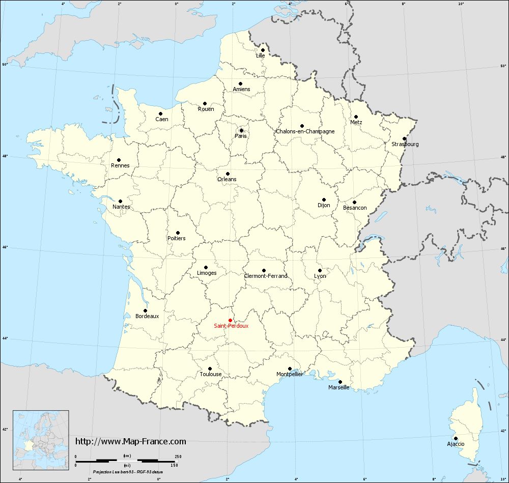
Map of Saint-Perdoux with regions and prefectures
|
View the map of Saint-Perdoux in full screen (1000 x 949)
|
You will find the location of Saint-Perdoux on the map of France of regions in Lambert 93 coordinates. The town of Saint-Perdoux is located in the department of Lot of the french region Midi-Pyrénées.
Geographical sexagesimal coordinates / GPS (WGS84):
Latitude: 44° 40' 24'' North
Longitude: 02° 02' 51'' East
Geographical decimal coordinates :
Latitude: 44.673 degrees (44.673° North)
Longitude: 2.047 degrees (2.047° East)
Lambert 93 coordinates :
X: 6 245 hectometers
Y: 63 976 hectometers
Lambert 2 coordinates :
X: 5 771 hectometers
Y: 19 637 hectometers
Below, the geographical coordinates of Cahors, prefecture of the Lot department:
Geographical sexagesimal coordinates / GPS (WGS84):
Latitude: 44° 26' 51'' North
Longitude: 01° 26' 26'' East
Geographical decimal coordinates :
Latitude: 44.448 degrees (44.448° North)
Longitude: 1.441 degrees (1.441° East)
Lambert 93 coordinates :
X: 5 759 hectometers
Y: 63 733 hectometers
Lambert 2 coordinates :
X: 5 286 hectometers
Y: 19 389 hectometers
|
This map of Saint-Perdoux is reusable and modifiable by making a link to this page of the Map-France.com website or by using the given code :
|
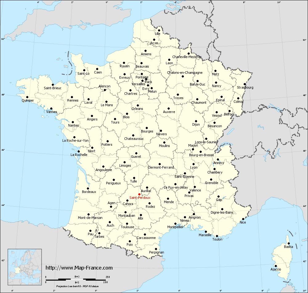
Map of Saint-Perdoux with departments and prefectures
|
Voir la carte of Saint-Perdoux en grand format (1000 x 949)
|
Here is the localization of Saint-Perdoux on the France map of departments in Lambert 93 coordinates. The city of Saint-Perdoux is shown on the map by a red point.
The town of Saint-Perdoux is located in the department of Lot of the french region Midi-Pyrénées.
The latitude of Saint-Perdoux is 44.673 degrees North.
The longitude of Saint-Perdoux is 2.047 degrees East.
Here the distance between Saint-Perdoux and the biggest cities of France:
Distances are calculated as the crow flies (orthodromic distance)
Distance between Saint-Perdoux and Paris : 465.9 kilometers
Distance between Saint-Perdoux and Marseille : 308.44 kilometers
Distance between Saint-Perdoux and Lyon : 249.37 kilometers
Distance between Saint-Perdoux and Toulouse : 128.31 kilometers
Distance between Saint-Perdoux and Nice : 429.03 kilometers
Distance between Saint-Perdoux and Nantes : 396.73 kilometers
Distance between Saint-Perdoux and Strasbourg : 615 kilometers
Distance between Saint-Perdoux and Montpellier : 187.56 kilometers
Distance between Saint-Perdoux and Bordeaux : 207.74 kilometers
Distance between Saint-Perdoux and Lille : 665.88 kilometers
Distance between Saint-Perdoux and Rennes : 476.61 kilometers
Distance between Saint-Perdoux and Reims : 531.18 kilometers
Clic here to see the map of Saint-Perdoux in full screen:
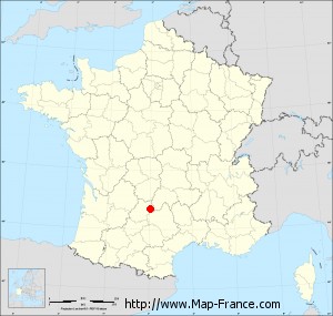
Saint-Perdoux on the map of french departments
|
This administrative map of Saint-Perdoux is reusable and modifiable by making a link to this page of the Map-France.com website or by using the given code :
|
Administrative base maps of Saint-Perdoux
|

See the administrative base map of Saint-Perdoux in full screen (1000 x 949)
|
Small administrative base map of Saint-Perdoux
|
This base map administrative of Saint-Perdoux is reusable and modifiable by making a link to this page of the Map-France.com website or by using the given code :
|
 French Version : http://www.cartesfrance.fr