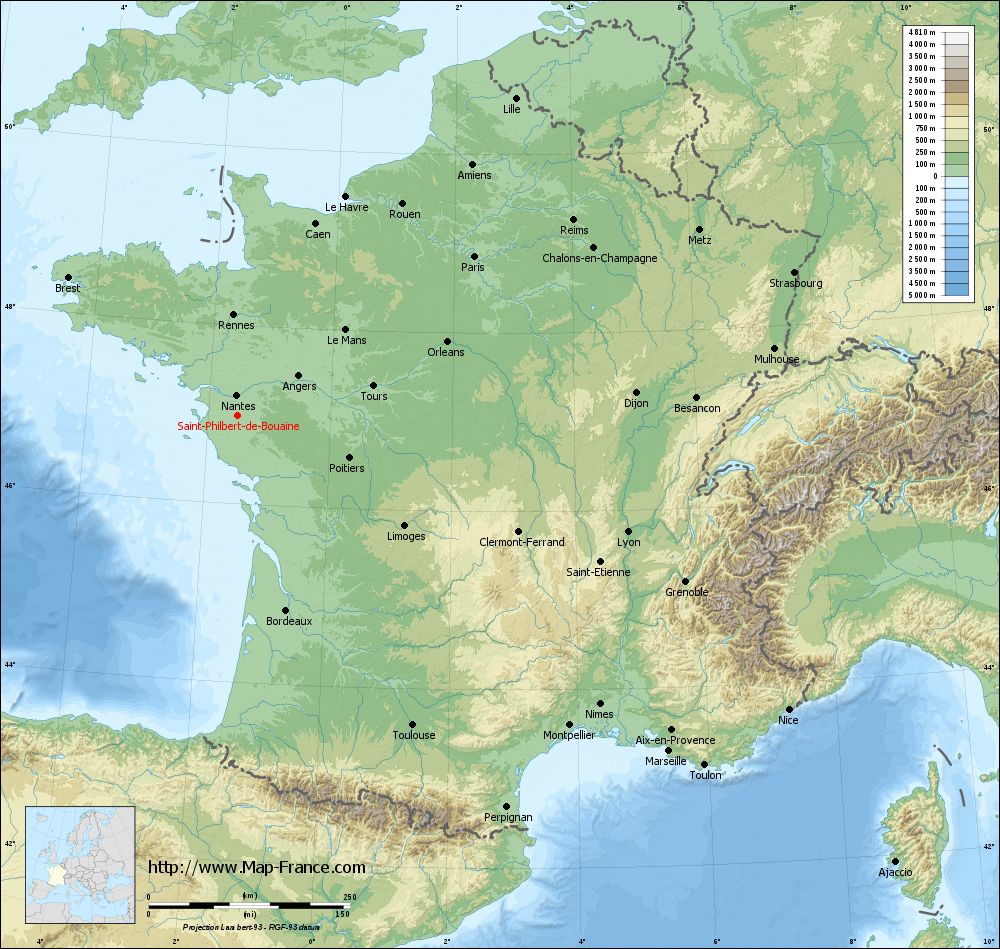
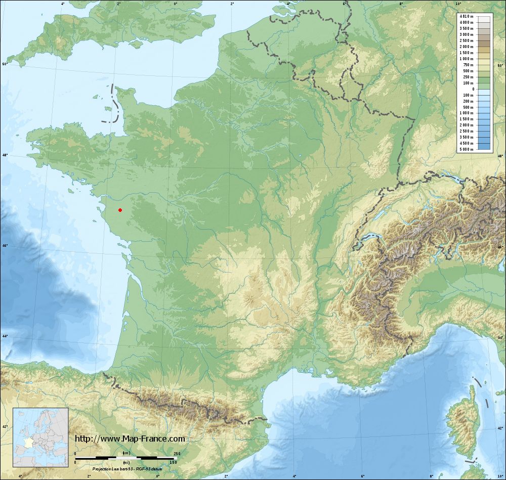
Saint-Philbert-de-Bouaine on the relief France map in Lambert 93 coordinates
|
See the map of Saint-Philbert-de-Bouaine in full screen (1000 x 949)
|
At left, here is the location of Saint-Philbert-de-Bouaine on the relief France map in Lambert 93 coordinates.
Here are the altitudes of Saint-Philbert-de-Bouaine :
- Town hall altitude of Saint-Philbert-de-Bouaine is 34 meters
- Minimum altitude of Saint-Philbert-de-Bouaine is 7 meters
- Maximum altitude of Saint-Philbert-de-Bouaine is 55 meters
- Medium altitude of Saint-Philbert-de-Bouaine is 31 meters
Here are the altitudes of La Roche-sur-Yon, prefecture of Vendée department:
- Town hall altitude of La Roche-sur-Yon is 50 meters
- Minimum altitude of La Roche-sur-Yon is 32 meters
- Maximum altitude of La Roche-sur-Yon is 94 meters
- Medium altitude of La Roche-sur-Yon is 63 meters
Here are the altitudes of the french biggest cities:
Paris : 33 meters
Marseille : 20 meters
Lyon : 237 meters
Toulouse : 146 meters
Nice : 10 meters
Nantes : 20 meters
Strasbourg : 144 meters
Montpellier : 35 meters
Bordeaux : 16 meters
Lille : 20 meters
Rennes : 35 meters
Reims : 83 meters
Click here for the terrain map of Saint-Philbert-de-Bouaine in full screen:
Relief map of Saint-Philbert-de-Bouaine
|
This relief map of Saint-Philbert-de-Bouaine is reusable and modifiable by making a link to this page of the Map-France.com website or by using the given code :
|
Terrain base map of Saint-Philbert-de-Bouaine
|
See the terrain base map of Saint-Philbert-de-Bouaine in full screen (1000 x 949)
|
Small relief base map of Saint-Philbert-de-Bouaine
|
This base map of Saint-Philbert-de-Bouaine is reusable and modifiable by making a link to this page of the Map-France.com website or by using the given code :
|
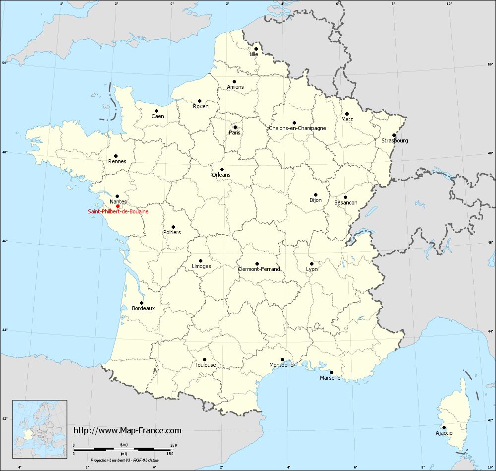
Map of Saint-Philbert-de-Bouaine with regions and prefectures
|
View the map of Saint-Philbert-de-Bouaine in full screen (1000 x 949)
|
You will find the location of Saint-Philbert-de-Bouaine on the map of France of regions in Lambert 93 coordinates. The city of Saint-Philbert-de-Bouaine is located in the department of Vendée of the french region Pays de la Loire.
Geographical sexagesimal coordinates / GPS (WGS84):
Latitude: 46° 59' 07'' North
Longitude: 01° 31' 15'' West
Geographical decimal coordinates :
Latitude: 46.985 degrees (46.985° North)
Longitude: -1.521 degrees (1.521° West)
Lambert 93 coordinates :
X: 3 566 hectometers
Y: 66 637 hectometers
Lambert 2 coordinates :
X: 3 067 hectometers
Y: 22 278 hectometers
Below, the geographical coordinates of La Roche-sur-Yon, prefecture of the Vendée department:
Geographical sexagesimal coordinates / GPS (WGS84):
Latitude: 46° 40' 11'' North
Longitude: 01° 25' 40'' West
Geographical decimal coordinates :
Latitude: 46.673 degrees (46.673° North)
Longitude: -1.43 degrees (1.43° West)
Lambert 93 coordinates :
X: 3 617 hectometers
Y: 66 283 hectometers
Lambert 2 coordinates :
X: 3 121 hectometers
Y: 21 924 hectometers
|
This map of Saint-Philbert-de-Bouaine is reusable and modifiable by making a link to this page of the Map-France.com website or by using the given code :
|
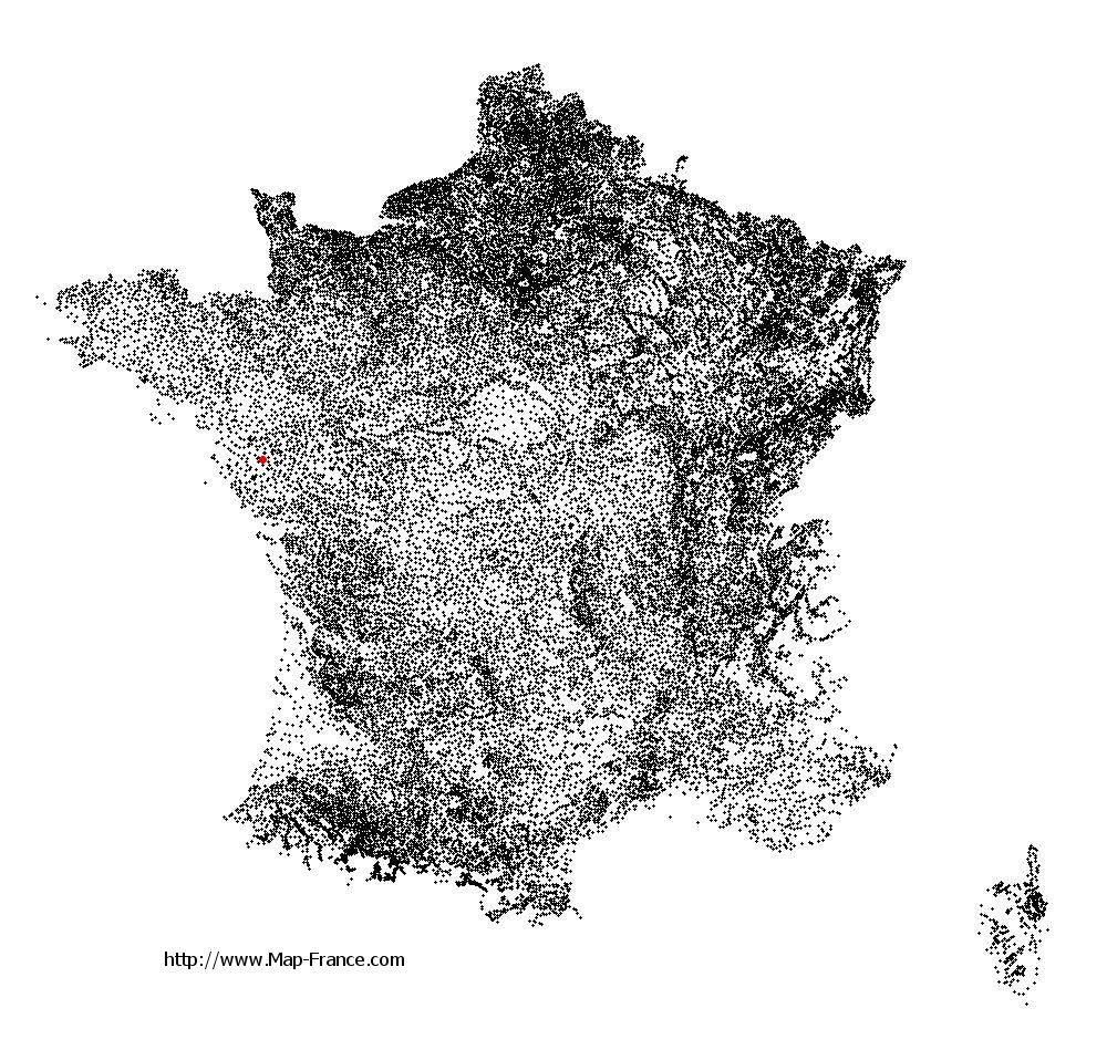
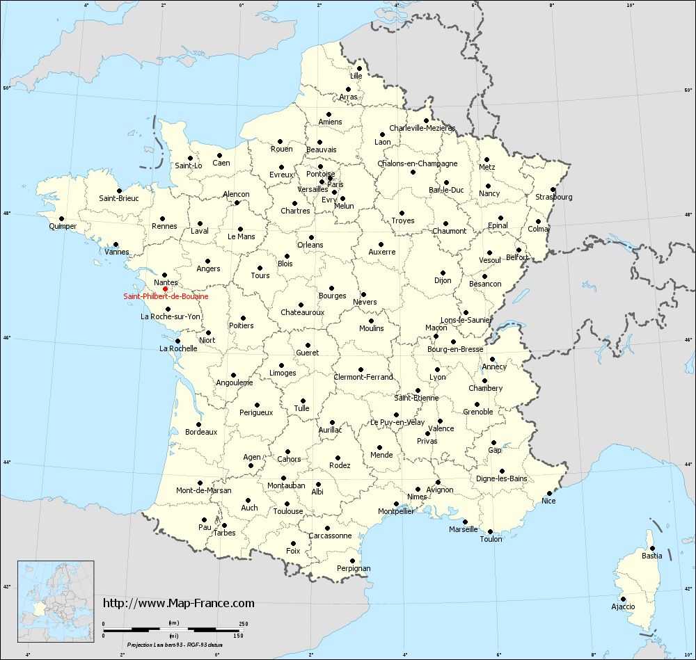
Map of Saint-Philbert-de-Bouaine with departments and prefectures
|
Voir la carte of Saint-Philbert-de-Bouaine en grand format (1000 x 949)
|
Here is the localization of Saint-Philbert-de-Bouaine on the France map of departments in Lambert 93 coordinates. The city of Saint-Philbert-de-Bouaine is shown on the map by a red point.
The city of Saint-Philbert-de-Bouaine is located in the department of Vendée of the french region Pays de la Loire.
The latitude of Saint-Philbert-de-Bouaine is 46.985 degrees North.
The longitude of Saint-Philbert-de-Bouaine is 1.521 degrees West.
Here the distance between Saint-Philbert-de-Bouaine and the biggest cities of France:
Distances are calculated as the crow flies (orthodromic distance)
Distance between Saint-Philbert-de-Bouaine and Paris : 355.39 kilometers
Distance between Saint-Philbert-de-Bouaine and Marseille : 679.29 kilometers
Distance between Saint-Philbert-de-Bouaine and Lyon : 505.75 kilometers
Distance between Saint-Philbert-de-Bouaine and Toulouse : 441.93 kilometers
Distance between Saint-Philbert-de-Bouaine and Nice : 776 kilometers
Distance between Saint-Philbert-de-Bouaine and Nantes : 26.16 kilometers
Distance between Saint-Philbert-de-Bouaine and Strasbourg : 714.53 kilometers
Distance between Saint-Philbert-de-Bouaine and Montpellier : 564.12 kilometers
Distance between Saint-Philbert-de-Bouaine and Bordeaux : 248.94 kilometers
Distance between Saint-Philbert-de-Bouaine and Lille : 524.68 kilometers
Distance between Saint-Philbert-de-Bouaine and Rennes : 125.34 kilometers
Distance between Saint-Philbert-de-Bouaine and Reims : 482.95 kilometers
Clic here to see the map of Saint-Philbert-de-Bouaine in full screen:
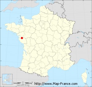
Saint-Philbert-de-Bouaine on the map of french departments
|
This administrative map of Saint-Philbert-de-Bouaine is reusable and modifiable by making a link to this page of the Map-France.com website or by using the given code :
|
Administrative base maps of Saint-Philbert-de-Bouaine
|

See the administrative base map of Saint-Philbert-de-Bouaine in full screen (1000 x 949)
|
Small administrative base map of Saint-Philbert-de-Bouaine
|
This base map administrative of Saint-Philbert-de-Bouaine is reusable and modifiable by making a link to this page of the Map-France.com website or by using the given code :
|
 French Version : http://www.cartesfrance.fr