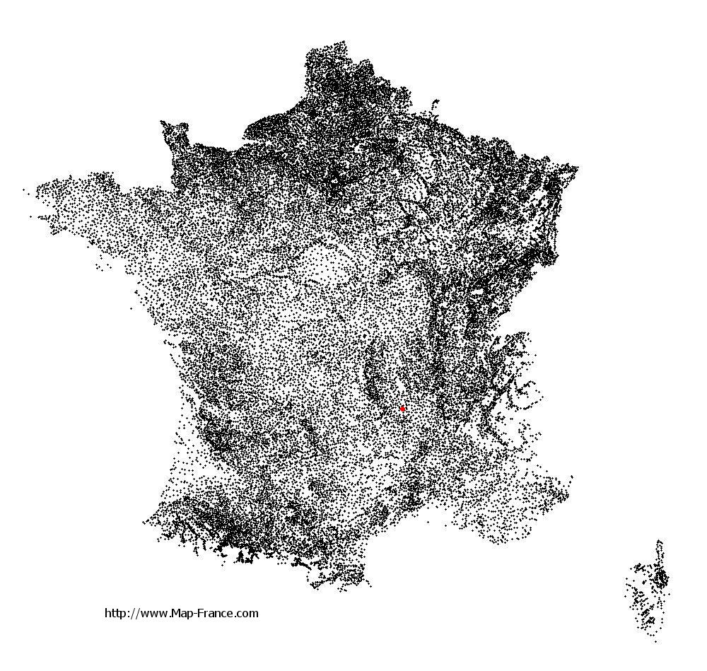
Saint-Pierre-du-Champ on the relief France map in Lambert 93 coordinates
|

See the map of Saint-Pierre-du-Champ in full screen (1000 x 949)
|
At left, here is the location of Saint-Pierre-du-Champ on the relief France map in Lambert 93 coordinates.
Here are the altitudes of Saint-Pierre-du-Champ :
- Town hall altitude of Saint-Pierre-du-Champ is 951 meters
- Minimum altitude of Saint-Pierre-du-Champ is 631 meters
- Maximum altitude of Saint-Pierre-du-Champ is 963 meters
- Medium altitude of Saint-Pierre-du-Champ is 797 meters
Here are the altitudes of Le Puy-en-Velay, prefecture of Haute-Loire department:
- Town hall altitude of Le Puy-en-Velay is 628 meters
- Minimum altitude of Le Puy-en-Velay is 600 meters
- Maximum altitude of Le Puy-en-Velay is 888 meters
- Medium altitude of Le Puy-en-Velay is 744 meters
Here are the altitudes of the french biggest cities:
Paris : 33 meters
Marseille : 20 meters
Lyon : 237 meters
Toulouse : 146 meters
Nice : 10 meters
Nantes : 20 meters
Strasbourg : 144 meters
Montpellier : 35 meters
Bordeaux : 16 meters
Lille : 20 meters
Rennes : 35 meters
Reims : 83 meters
Click here for the terrain map of Saint-Pierre-du-Champ in full screen:
Relief map of Saint-Pierre-du-Champ
|
This relief map of Saint-Pierre-du-Champ is reusable and modifiable by making a link to this page of the Map-France.com website or by using the given code :
|
Terrain base map of Saint-Pierre-du-Champ
|

See the terrain base map of Saint-Pierre-du-Champ in full screen (1000 x 949)
|
Small relief base map of Saint-Pierre-du-Champ

|
This base map of Saint-Pierre-du-Champ is reusable and modifiable by making a link to this page of the Map-France.com website or by using the given code :
|
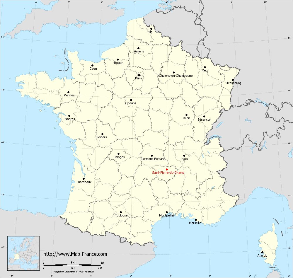
Map of Saint-Pierre-du-Champ with regions and prefectures
|
View the map of Saint-Pierre-du-Champ in full screen (1000 x 949)
|
You will find the location of Saint-Pierre-du-Champ on the map of France of regions in Lambert 93 coordinates. The town of Saint-Pierre-du-Champ is located in the department of Haute-Loire of the french region Auvergne.
Geographical sexagesimal coordinates / GPS (WGS84):
Latitude: 45° 14' 52'' North
Longitude: 03° 53' 58'' East
Geographical decimal coordinates :
Latitude: 45.247 degrees (45.247° North)
Longitude: 3.899 degrees (3.899° East)
Lambert 93 coordinates :
X: 7 706 hectometers
Y: 64 614 hectometers
Lambert 2 coordinates :
X: 7 227 hectometers
Y: 20 287 hectometers
Below, the geographical coordinates of Le Puy-en-Velay, prefecture of the Haute-Loire department:
Geographical sexagesimal coordinates / GPS (WGS84):
Latitude: 45° 02' 36'' North
Longitude: 03° 53' 06'' East
Geographical decimal coordinates :
Latitude: 45.042 degrees (45.042° North)
Longitude: 3.888 degrees (3.888° East)
Lambert 93 coordinates :
X: 7 697 hectometers
Y: 64 386 hectometers
Lambert 2 coordinates :
X: 7 220 hectometers
Y: 20 059 hectometers
|
This map of Saint-Pierre-du-Champ is reusable and modifiable by making a link to this page of the Map-France.com website or by using the given code :
|
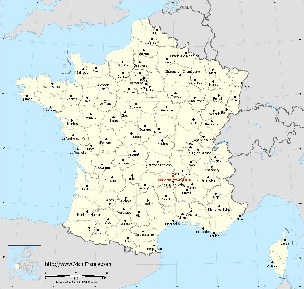
Map of Saint-Pierre-du-Champ with departments and prefectures
|
Voir la carte of Saint-Pierre-du-Champ en grand format (1000 x 949)
|
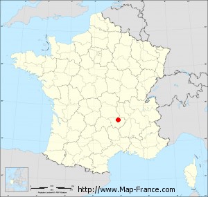
Here is the localization of Saint-Pierre-du-Champ on the France map of departments in Lambert 93 coordinates. The city of Saint-Pierre-du-Champ is shown on the map by a red point.
The town of Saint-Pierre-du-Champ is located in the department of Haute-Loire of the french region Auvergne.
The latitude of Saint-Pierre-du-Champ is 45.247 degrees North.
The longitude of Saint-Pierre-du-Champ is 3.899 degrees East.
Here the distance between Saint-Pierre-du-Champ and the biggest cities of France:
Distances are calculated as the crow flies (orthodromic distance)
Distance between Saint-Pierre-du-Champ and Paris : 418.36 kilometers
Distance between Saint-Pierre-du-Champ and Marseille : 247.3 kilometers
Distance between Saint-Pierre-du-Champ and Lyon : 92.51 kilometers
Distance between Saint-Pierre-du-Champ and Toulouse : 266.87 kilometers
Distance between Saint-Pierre-du-Champ and Nice : 316.82 kilometers
Distance between Saint-Pierre-du-Champ and Nantes : 472.76 kilometers
Distance between Saint-Pierre-du-Champ and Strasbourg : 472.3 kilometers
Distance between Saint-Pierre-du-Champ and Montpellier : 182.01 kilometers
Distance between Saint-Pierre-du-Champ and Bordeaux : 354.02 kilometers
Distance between Saint-Pierre-du-Champ and Lille : 601.24 kilometers
Distance between Saint-Pierre-du-Champ and Rennes : 530.73 kilometers
Distance between Saint-Pierre-du-Champ and Reims : 445.77 kilometers
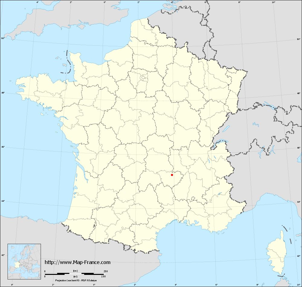
Clic here to see the map of Saint-Pierre-du-Champ in full screen:
Saint-Pierre-du-Champ on the map of french departments
|
This administrative map of Saint-Pierre-du-Champ is reusable and modifiable by making a link to this page of the Map-France.com website or by using the given code :
|
Administrative base maps of Saint-Pierre-du-Champ
|
See the administrative base map of Saint-Pierre-du-Champ in full screen (1000 x 949)
|
Small administrative base map of Saint-Pierre-du-Champ
|
This base map administrative of Saint-Pierre-du-Champ is reusable and modifiable by making a link to this page of the Map-France.com website or by using the given code :
|
 French Version : http://www.cartesfrance.fr