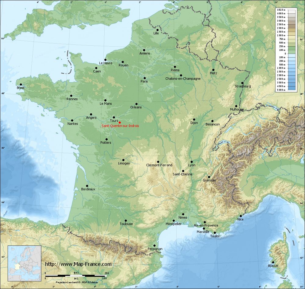
Saint-Quentin-sur-Indrois on the relief France map in Lambert 93 coordinates
|
See the map of Saint-Quentin-sur-Indrois in full screen (1000 x 949)
|
At left, here is the location of Saint-Quentin-sur-Indrois on the relief France map in Lambert 93 coordinates.
Here are the altitudes of Saint-Quentin-sur-Indrois :
- Town hall altitude of Saint-Quentin-sur-Indrois is 100 meters
- Minimum altitude of Saint-Quentin-sur-Indrois is 65 meters
- Maximum altitude of Saint-Quentin-sur-Indrois is 127 meters
- Medium altitude of Saint-Quentin-sur-Indrois is 96 meters
Here are the altitudes of Tours, prefecture of Indre-et-Loire department:
- Town hall altitude of Tours is 52 meters
- Minimum altitude of Tours is 44 meters
- Maximum altitude of Tours is 109 meters
- Medium altitude of Tours is 77 meters
Here are the altitudes of the french biggest cities:
Paris : 33 meters
Marseille : 20 meters
Lyon : 237 meters
Toulouse : 146 meters
Nice : 10 meters
Nantes : 20 meters
Strasbourg : 144 meters
Montpellier : 35 meters
Bordeaux : 16 meters
Lille : 20 meters
Rennes : 35 meters
Reims : 83 meters
Click here for the terrain map of Saint-Quentin-sur-Indrois in full screen:
Relief map of Saint-Quentin-sur-Indrois
|
This relief map of Saint-Quentin-sur-Indrois is reusable and modifiable by making a link to this page of the Map-France.com website or by using the given code :
|
Terrain base map of Saint-Quentin-sur-Indrois
|

See the terrain base map of Saint-Quentin-sur-Indrois in full screen (1000 x 949)
|
Small relief base map of Saint-Quentin-sur-Indrois
|
This base map of Saint-Quentin-sur-Indrois is reusable and modifiable by making a link to this page of the Map-France.com website or by using the given code :
|
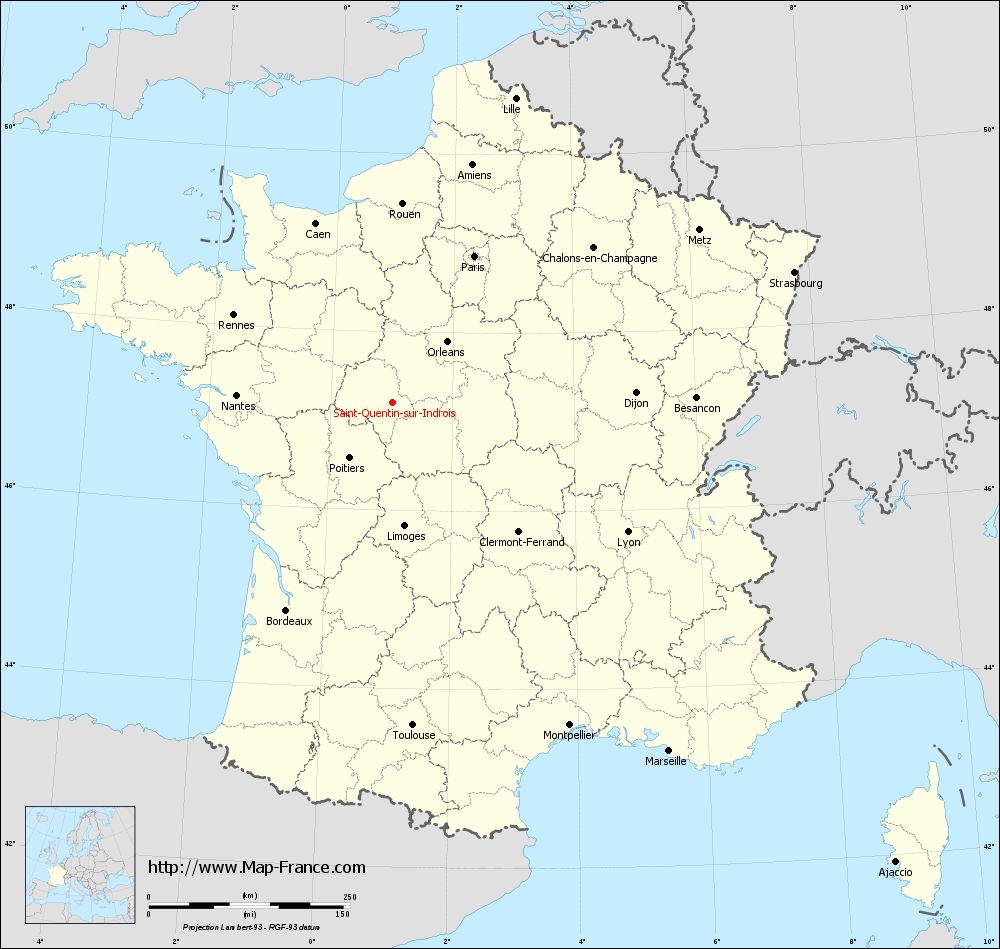
Map of Saint-Quentin-sur-Indrois with regions and prefectures
|
View the map of Saint-Quentin-sur-Indrois in full screen (1000 x 949)
|
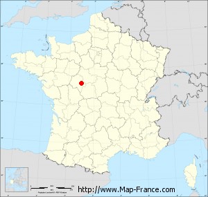
You will find the location of Saint-Quentin-sur-Indrois on the map of France of regions in Lambert 93 coordinates. The town of Saint-Quentin-sur-Indrois is located in the department of Indre-et-Loire of the french region Centre.
Geographical sexagesimal coordinates / GPS (WGS84):
Latitude: 47° 12' 13'' North
Longitude: 01° 01' 25'' East
Geographical decimal coordinates :
Latitude: 47.204 degrees (47.204° North)
Longitude: 1.026 degrees (1.026° East)
Lambert 93 coordinates :
X: 5 504 hectometers
Y: 66 800 hectometers
Lambert 2 coordinates :
X: 5 005 hectometers
Y: 22 457 hectometers
Below, the geographical coordinates of Tours, prefecture of the Indre-et-Loire department:
Geographical sexagesimal coordinates / GPS (WGS84):
Latitude: 47° 23' 34'' North
Longitude: 00° 41' 18'' East
Geographical decimal coordinates :
Latitude: 47.393 degrees (47.393° North)
Longitude: 0.684 degrees (0.684° East)
Lambert 93 coordinates :
X: 5 256 hectometers
Y: 67 017 hectometers
Lambert 2 coordinates :
X: 4 756 hectometers
Y: 22 672 hectometers
|
This map of Saint-Quentin-sur-Indrois is reusable and modifiable by making a link to this page of the Map-France.com website or by using the given code :
|
Map of Saint-Quentin-sur-Indrois with departments and prefectures
|
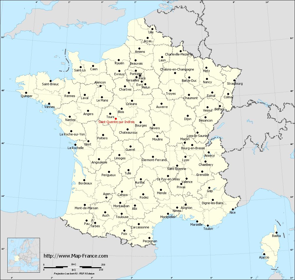
Voir la carte of Saint-Quentin-sur-Indrois en grand format (1000 x 949)
|
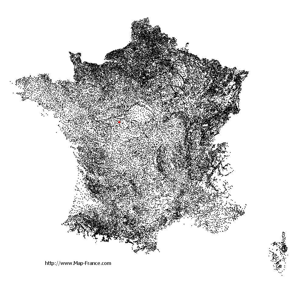
Here is the localization of Saint-Quentin-sur-Indrois on the France map of departments in Lambert 93 coordinates. The city of Saint-Quentin-sur-Indrois is shown on the map by a red point.
The town of Saint-Quentin-sur-Indrois is located in the department of Indre-et-Loire of the french region Centre.
The latitude of Saint-Quentin-sur-Indrois is 47.204 degrees North.
The longitude of Saint-Quentin-sur-Indrois is 1.026 degrees East.
Here the distance between Saint-Quentin-sur-Indrois and the biggest cities of France:
Distances are calculated as the crow flies (orthodromic distance)
Distance between Saint-Quentin-sur-Indrois and Paris : 208.53 kilometers
Distance between Saint-Quentin-sur-Indrois and Marseille : 552.51 kilometers
Distance between Saint-Quentin-sur-Indrois and Lyon : 332.65 kilometers
Distance between Saint-Quentin-sur-Indrois and Toulouse : 401.84 kilometers
Distance between Saint-Quentin-sur-Indrois and Nice : 622.03 kilometers
Distance between Saint-Quentin-sur-Indrois and Nantes : 194.67 kilometers
Distance between Saint-Quentin-sur-Indrois and Strasbourg : 524.1 kilometers
Distance between Saint-Quentin-sur-Indrois and Montpellier : 457.05 kilometers
Distance between Saint-Quentin-sur-Indrois and Bordeaux : 289.95 kilometers
Distance between Saint-Quentin-sur-Indrois and Lille : 407.91 kilometers
Distance between Saint-Quentin-sur-Indrois and Rennes : 225.99 kilometers
Distance between Saint-Quentin-sur-Indrois and Reims : 318.62 kilometers
Clic here to see the map of Saint-Quentin-sur-Indrois in full screen:
Saint-Quentin-sur-Indrois on the map of french departments
|
This administrative map of Saint-Quentin-sur-Indrois is reusable and modifiable by making a link to this page of the Map-France.com website or by using the given code :
|
Administrative base maps of Saint-Quentin-sur-Indrois
|

See the administrative base map of Saint-Quentin-sur-Indrois in full screen (1000 x 949)
|
Small administrative base map of Saint-Quentin-sur-Indrois
|
This base map administrative of Saint-Quentin-sur-Indrois is reusable and modifiable by making a link to this page of the Map-France.com website or by using the given code :
|
 French Version : http://www.cartesfrance.fr