|
The village of Saint-Sauveur is a small french village located north of France. The town of Saint-Sauveur is located in the department of Oise of the french region Picardie. The town of Saint-Sauveur is located in the township of Compiègne-Sud-Est part of the district of Compiègne. The area code for Saint-Sauveur is 60597 (also known as code INSEE), and the Saint-Sauveur zip code is 60320.
Geography and map of Saint-Sauveur :
The altitude of the city hall of Saint-Sauveur is approximately 55 meters. The Saint-Sauveur surface is 16.50 km ². The latitude and longitude of Saint-Sauveur are 49.318 degrees North and 2.785 degrees East.
Nearby cities and towns of Saint-Sauveur are :
Saintines (60410) at 1.69 km, Béthisy-Saint-Pierre (60320) at 2.55 km, Béthisy-Saint-Martin (60320) at 3.46 km, Saint-Vaast-de-Longmont (60410) at 3.99 km, Verberie (60410) at 4.01 km, Lacroix-Saint-Ouen (60610) at 4.01 km, Néry (60320) at 4.13 km, Rivecourt (60126) at 4.85 km.
(The distances to these nearby towns of Saint-Sauveur are calculated as the crow flies)
Population and housing of Saint-Sauveur :
The population of Saint-Sauveur was 1 605 in 1999, 1 585 in 2006 and 1 582 in 2007. The population density of Saint-Sauveur is 95.88 inhabitants per km². The number of housing of Saint-Sauveur was 629 in 2007. These homes of Saint-Sauveur consist of 585 main residences, 14 second or occasional homes and 30 vacant homes. |
|
|
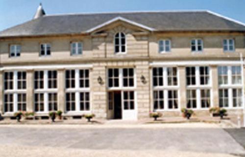
Hotel Saint-Sauveur
|
|
|
Book now ! Best Price Guaranteed, no booking fees, pay at the hotel with our partner Booking.com, leader in online hotel reservation.
Find all hotels of Saint-Sauveur : Hotel Saint-Sauveur
| |
|
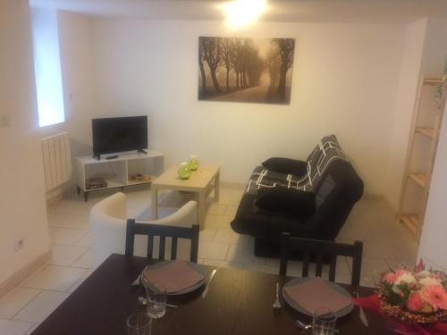
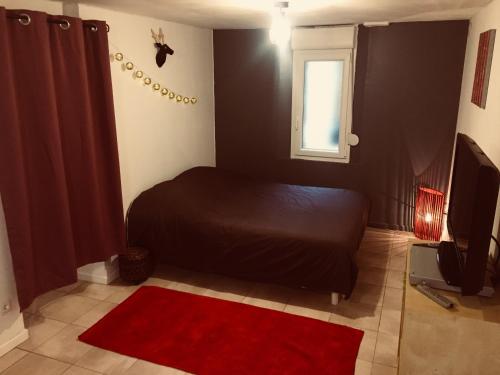
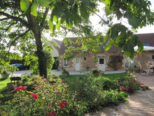
Guest accommodation : Inobelle

Inobelle is a holiday home situated in Béthisy-Saint-Pierre. Both Compiègne and Pierrefonds castles are located 19 km away, while Chantilly castle is 32 km from the property. T...
Rate : from 72.00 €
Address : 43 Rue Esmery 60320 Béthisy-Saint-Pierre
Distance Guest accommodation - Saint-Sauveur : 2.59 km
|
|
|
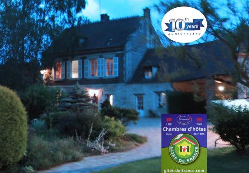
Bed and Breakfast : The Water Mill
Featuring accommodation with a private pool, pool view and a terrace, The Water Mill is set in Béthisy-Saint-Martin. This bed and breakfast provides a seasonal outdoor swimming ...
Price : from 65.00 €
to 75.00 €
Contact : 346 Rue Gérard de Séroux 60320 Béthisy-Saint-Martin
Distance Bed and Breakfast - Saint-Sauveur : 3.42 km
|
|
|
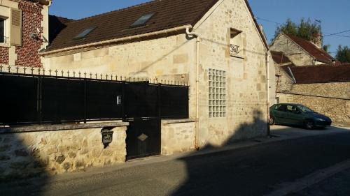
Guest accommodation : La Vannerie
La Vannerie is situated in Béthisy-Saint-Martin and offers a garden and a terrace. The country house, set in a building dating from 19th century, features free WiFi. If you wou...
Prices : from 60.00 €
Contact : 144 rue gallieni 60320 Béthisy-Saint-Martin
Distance Guest accommodation - Saint-Sauveur : 3.70 km
|
|
|
Guest accommodation : L'escale

Featuring barbecue facilities, L'escale is set in Béthisy-Saint-Martin. Each accommodation at the 3-star inn has garden views, and guests can enjoy access to a terrace. The acco...
Contact : 168 Rue Gallieni 60320 Béthisy-Saint-Martin
Distance Guest accommodation - Saint-Sauveur : 3.73 km
|
|
|
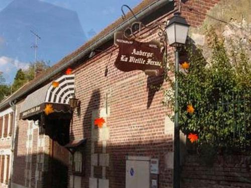
Hotel : Auberge de la Vieille Ferme
Situated in Le Meux, 13 km from Château de Compiègne and set in an old farmhouse, Auberge de la Vieille Ferme features a traditional restaurant and a terrace. Free Wi-Fi access ...
Price : from 62.00 €
to 96.00 €
Address : 58 rue de la République 60880 Le Meux
Distance Hotel - Saint-Sauveur : 5.90 km
|
|
|
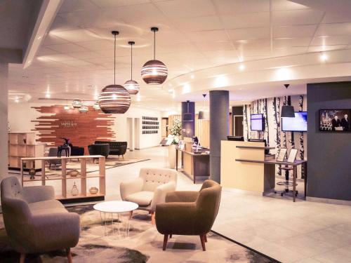
Hotel : Mercure Compiègne Sud
This Mercure hotel is located on the outskirts of Compiegne 5 km from the town centre. It offers air-conditioned accommodation, a restaurant and free on-site parking. Free Wi-Fi...
Prices : from 93.00 €
to 198.00 €
Contact : Rue Robert Schumann 60204 Compiègne
Distance Hotel - Saint-Sauveur : 6.88 km
|
|
|
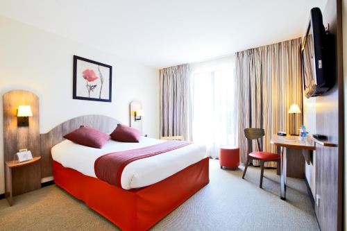
Kyriad Compiègne is situated a 10-minute drive from Compiègne town centre and a 15-minute drive from the A1 motorway. It offers air-conditioned rooms with flat-screen TV and Wi...
Rate : from 59.00 €
to 105.00 €
Contact : Avenue Marcelin Berthelot 60200 Compiègne
Distance Hotel - Saint-Sauveur : 7.65 km
|
|

|
Bed and Breakfast : Chateau le Quesnoy
Located in Chevrières, Chateau le Quesnoy features accommodation with free WiFi. There is a private bathroom with bath and free toiletries in each unit, along with a hair dryer...
Price : from 102.00 €
to 165.00 €
Contact : 1800 Le Quesnoy 60710 Chevrières
Distance Bed and Breakfast - Saint-Sauveur : 7.71 km
|
|
|
Hotel : L'Orangerie de Raray
Located in a 17th-century building in Raray, right in front of the Château, this hotel features a courtyard, free Wi-Fi internet access and free private parking. The A1 Motorway...
Prices : from 79.00 €
to 99.00 €
Address : 6 rue Nicolas de Lancy 60810 Raray
Distance Hotel - Saint-Sauveur : 8.38 km
|
|
|
Guest accommodation : La Charmée
La Charmée is located in Jonquières just 15 minutes from the centre of Compiègne. Guests can enjoy free Wi-Fi throughout the property and free private parking on site. The room...
Rate : from 85.00 €
to 95.00 €
Contact : 25 rue de Varanval 60680 Jonquières
Distance Guest accommodation - Saint-Sauveur : 8.62 km
|
|
Find another hotel near Saint-Sauveur : Saint-Sauveur hotels list
|
Map of Saint-Sauveur
|
|
Map of Saint-Sauveur :
At right you can find the localization of Saint-Sauveur on the map of France. Below, this is the satellite map of Saint-Sauveur. A road map, and maps templates of Saint-Sauveur are available here : "road map of Saint-Sauveur". This map show Saint-Sauveur seen by the satellite of Google Map. To see the streets of Saint-Sauveur or move on another zone, use the buttons "zoom" and "map" on top of this dynamic map.
Search on the map of Saint-Sauveur :
To search hotels, housings, tourist information office, administrations or other services, use the Google search integrated to the map on the following page : "map Saint-Sauveur".
Hotels of Saint-Sauveur are listed on the map with the following icons: 
The map of Saint-Sauveur is centred in the following coordinates :
|

|
|
|
|
Print the map of Saint-Sauveur

Print the map of Saint-Sauveur : map of Saint-Sauveur
|
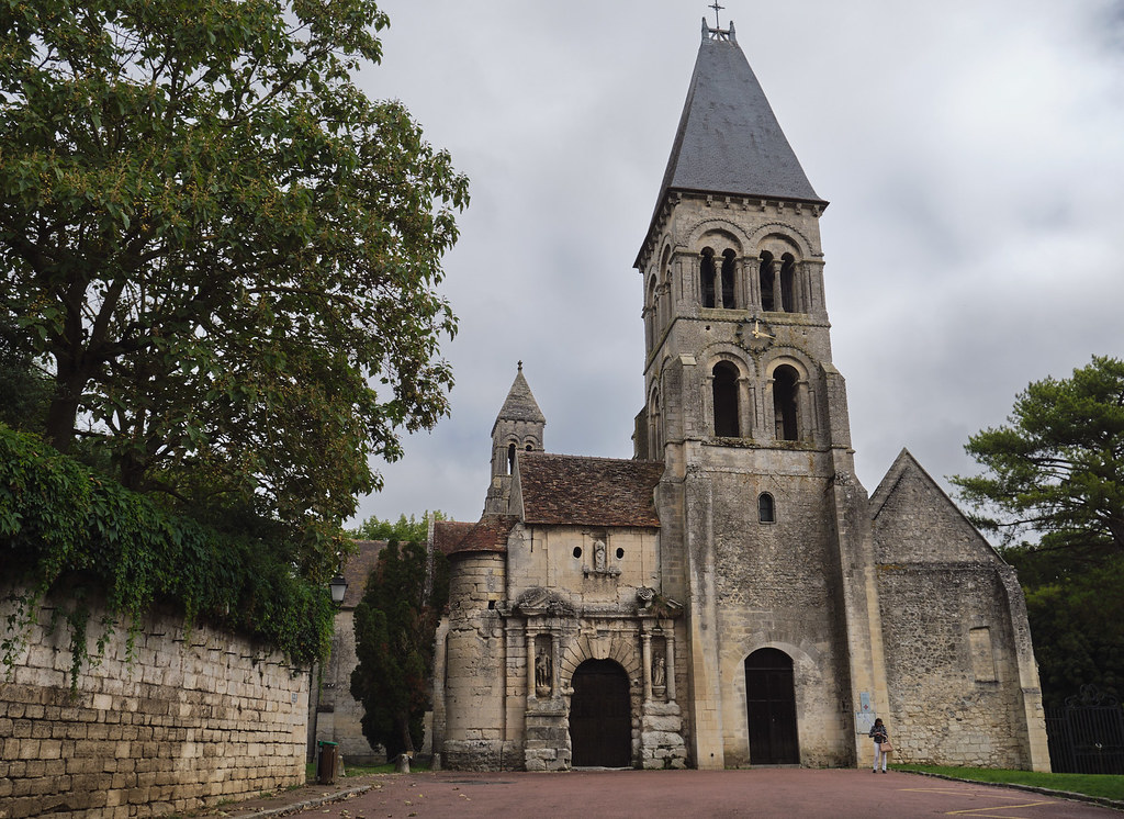
Photos Saint-Sauveur
|
See all photos of Saint-Sauveur :
Other photos of Saint-Sauveur and nearby towns can be found here: photos Saint-Sauveur
|
|
Saint-Sauveur weather forecast
Find next hours and 7 days weather forecast for Saint-Sauveur here : weather Saint-Sauveur (with english metrics)
This is the last weather forecast for Saint-Sauveur collected by the nearest observation station of Compiègne.
Week Forecast:
The latest weather data for Saint-Sauveur were collected Friday, 26 June 2026 at 11:04 from the nearest observation station of Compiègne.
| Friday, June 26th |
35°C 23°C
40%
38%
|
Partly cloudy
Temperature Max: 35°C Temperature Min: 23°C
Precipitation Probability: 40% (Rain)
Percentage of sky occluded by clouds: 38%
Wind speed: 11 km/h South-East
Humidity: 52%° UV Index: 7
Sunrise: 05:44 Sunset: 21:59 |
|
| | Saturday, June 27th |
35°C 20°C
47%
59%
|
Rain
Temperature Max: 35°C Temperature Min: 20°C
Precipitation Probability: 47% (Rain)
Percentage of sky occluded by clouds: 59%
Wind speed: 9 km/h South
Humidity: 56%° UV Index: 6
Sunrise: 05:44 Sunset: 21:59 |
|
| | Sunday, June 28th |
29°C 20°C
41%
48%
|
Thunderstorms
Temperature Max: 29°C Temperature Min: 20°C
Precipitation Probability: 41% (Rain)
Percentage of sky occluded by clouds: 48%
Wind speed: 10 km/h East
Humidity: 64%° UV Index: 7
Sunrise: 05:45 Sunset: 21:58 |
|
| | Monday, June 29th |
26°C 16°C
43%
32%
|
Thunderstorms
Temperature Max: 26°C Temperature Min: 16°C
Precipitation Probability: 43% (Rain)
Percentage of sky occluded by clouds: 32%
Wind speed: 12 km/h South-East
Humidity: 59%° UV Index: 7
Sunrise: 05:45 Sunset: 21:58 |
|
|
Attribution: 
|
|
Other maps, hotels and towns in france
Find another town, zip code, department, region, ...
Quick links Saint-Sauveur :
Make a link to this page of Saint-Sauveur with the following code :
|
|
|
 French Version : http://www.cartesfrance.fr/carte-france-ville/60597_Saint-Sauveur.html