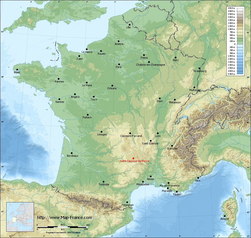
Saint-Sauveur-de-Peyre on the relief France map in Lambert 93 coordinates
|
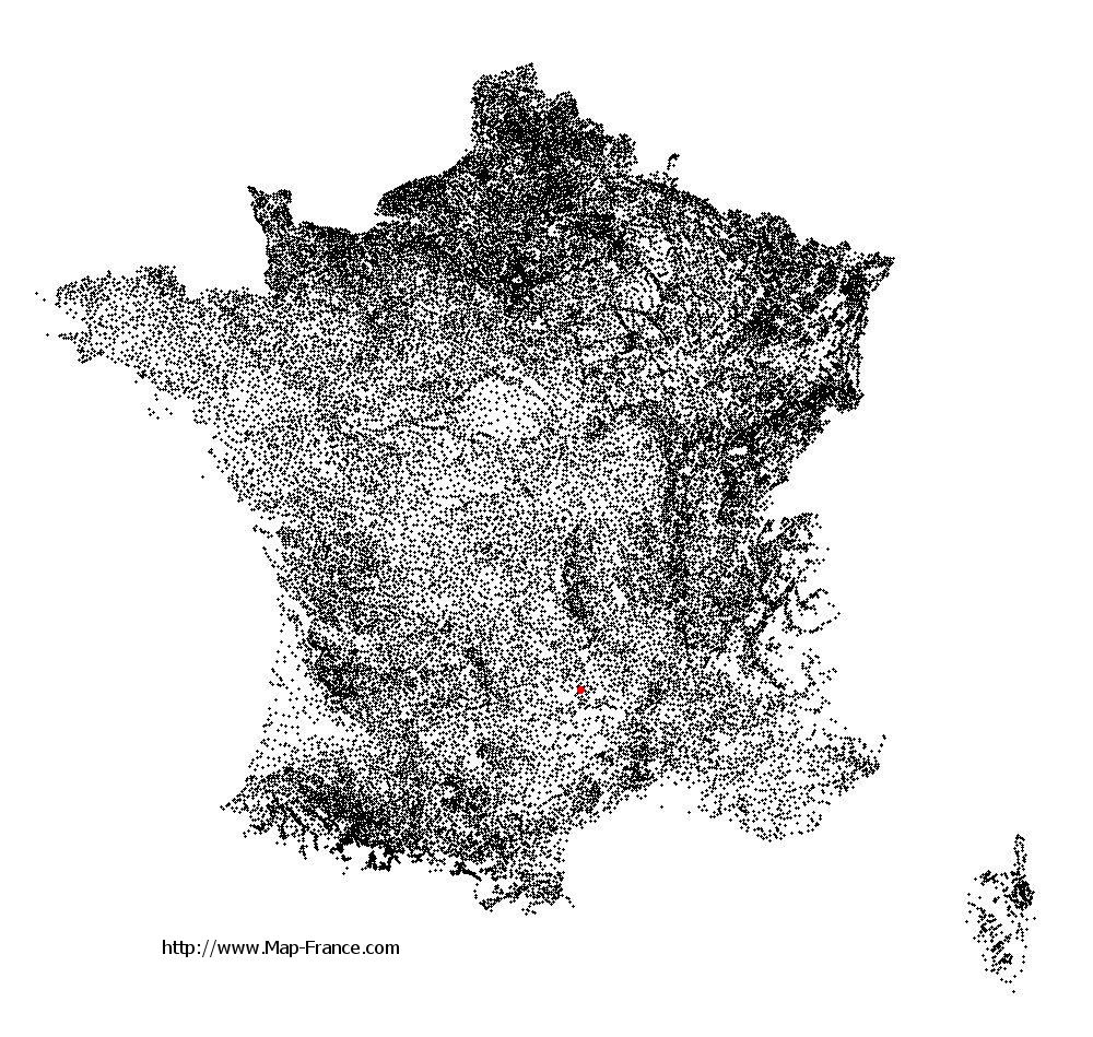
See the map of Saint-Sauveur-de-Peyre in full screen (1000 x 949)
|
At left, here is the location of Saint-Sauveur-de-Peyre on the relief France map in Lambert 93 coordinates.
Here are the altitudes of Saint-Sauveur-de-Peyre :
- Town hall altitude of Saint-Sauveur-de-Peyre is 1 080 meters
- Minimum altitude of Saint-Sauveur-de-Peyre is 852 meters
- Maximum altitude of Saint-Sauveur-de-Peyre is 1 180 meters
- Medium altitude of Saint-Sauveur-de-Peyre is 1 016 meters
Here are the altitudes of Mende, prefecture of Lozère department:
- Town hall altitude of Mende is 740 meters
- Minimum altitude of Mende is 691 meters
- Maximum altitude of Mende is 1 236 meters
- Medium altitude of Mende is 964 meters
Here are the altitudes of the french biggest cities:
Paris : 33 meters
Marseille : 20 meters
Lyon : 237 meters
Toulouse : 146 meters
Nice : 10 meters
Nantes : 20 meters
Strasbourg : 144 meters
Montpellier : 35 meters
Bordeaux : 16 meters
Lille : 20 meters
Rennes : 35 meters
Reims : 83 meters
Click here for the terrain map of Saint-Sauveur-de-Peyre in full screen:
Relief map of Saint-Sauveur-de-Peyre
|
This relief map of Saint-Sauveur-de-Peyre is reusable and modifiable by making a link to this page of the Map-France.com website or by using the given code :
|
Terrain base map of Saint-Sauveur-de-Peyre
|

See the terrain base map of Saint-Sauveur-de-Peyre in full screen (1000 x 949)
|
Small relief base map of Saint-Sauveur-de-Peyre
|
This base map of Saint-Sauveur-de-Peyre is reusable and modifiable by making a link to this page of the Map-France.com website or by using the given code :
|
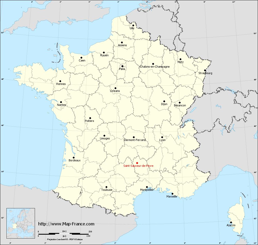
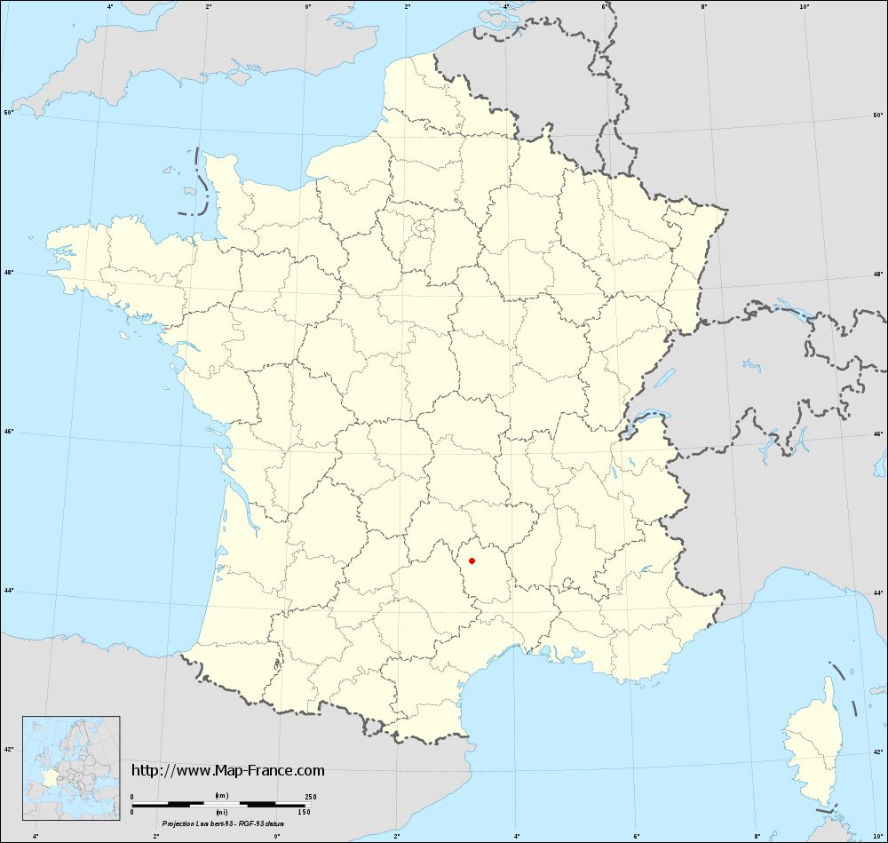
Map of Saint-Sauveur-de-Peyre with regions and prefectures
|
View the map of Saint-Sauveur-de-Peyre in full screen (1000 x 949)
|
You will find the location of Saint-Sauveur-de-Peyre on the map of France of regions in Lambert 93 coordinates. The town of Saint-Sauveur-de-Peyre is located in the department of Lozère of the french region Languedoc-Roussillon.
Geographical sexagesimal coordinates / GPS (WGS84):
Latitude: 44° 39' 31'' North
Longitude: 03° 17' 14'' East
Geographical decimal coordinates :
Latitude: 44.659 degrees (44.659° North)
Longitude: 3.287 degrees (3.287° East)
Lambert 93 coordinates :
X: 7 228 hectometers
Y: 63 955 hectometers
Lambert 2 coordinates :
X: 6 754 hectometers
Y: 19 624 hectometers
Below, the geographical coordinates of Mende, prefecture of the Lozère department:
Geographical sexagesimal coordinates / GPS (WGS84):
Latitude: 44° 31' 06'' North
Longitude: 03° 30' 02'' East
Geographical decimal coordinates :
Latitude: 44.519 degrees (44.519° North)
Longitude: 3.498 degrees (3.498° East)
Lambert 93 coordinates :
X: 7 398 hectometers
Y: 63 801 hectometers
Lambert 2 coordinates :
X: 6 926 hectometers
Y: 19 471 hectometers
|
This map of Saint-Sauveur-de-Peyre is reusable and modifiable by making a link to this page of the Map-France.com website or by using the given code :
|
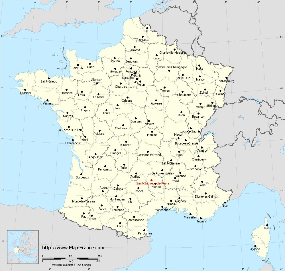
Map of Saint-Sauveur-de-Peyre with departments and prefectures
|
Voir la carte of Saint-Sauveur-de-Peyre en grand format (1000 x 949)
|
Here is the localization of Saint-Sauveur-de-Peyre on the France map of departments in Lambert 93 coordinates. The city of Saint-Sauveur-de-Peyre is shown on the map by a red point.
The town of Saint-Sauveur-de-Peyre is located in the department of Lozère of the french region Languedoc-Roussillon.
The latitude of Saint-Sauveur-de-Peyre is 44.659 degrees North.
The longitude of Saint-Sauveur-de-Peyre is 3.287 degrees East.
Here the distance between Saint-Sauveur-de-Peyre and the biggest cities of France:
Distances are calculated as the crow flies (orthodromic distance)
Distance between Saint-Sauveur-de-Peyre and Paris : 472.35 kilometers
Distance between Saint-Sauveur-de-Peyre and Marseille : 226.66 kilometers
Distance between Saint-Sauveur-de-Peyre and Lyon : 172.15 kilometers
Distance between Saint-Sauveur-de-Peyre and Toulouse : 187.87 kilometers
Distance between Saint-Sauveur-de-Peyre and Nice : 333.87 kilometers
Distance between Saint-Sauveur-de-Peyre and Nantes : 469.82 kilometers
Distance between Saint-Sauveur-de-Peyre and Strasbourg : 553.44 kilometers
Distance between Saint-Sauveur-de-Peyre and Montpellier : 125.66 kilometers
Distance between Saint-Sauveur-de-Peyre and Bordeaux : 305.43 kilometers
Distance between Saint-Sauveur-de-Peyre and Lille : 663.49 kilometers
Distance between Saint-Sauveur-de-Peyre and Rennes : 540 kilometers
Distance between Saint-Sauveur-de-Peyre and Reims : 514.13 kilometers
Clic here to see the map of Saint-Sauveur-de-Peyre in full screen:
Saint-Sauveur-de-Peyre on the map of french departments
|
This administrative map of Saint-Sauveur-de-Peyre is reusable and modifiable by making a link to this page of the Map-France.com website or by using the given code :
|
Administrative base maps of Saint-Sauveur-de-Peyre
|
See the administrative base map of Saint-Sauveur-de-Peyre in full screen (1000 x 949)
|
Small administrative base map of Saint-Sauveur-de-Peyre
|
This base map administrative of Saint-Sauveur-de-Peyre is reusable and modifiable by making a link to this page of the Map-France.com website or by using the given code :
|
 French Version : http://www.cartesfrance.fr