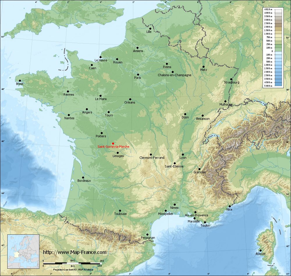
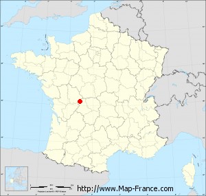
Saint-Sornin-la-Marche on the relief France map in Lambert 93 coordinates
|
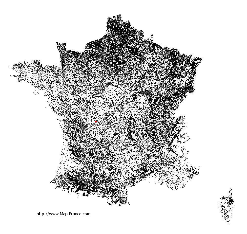
See the map of Saint-Sornin-la-Marche in full screen (1000 x 949)
|
At left, here is the location of Saint-Sornin-la-Marche on the relief France map in Lambert 93 coordinates.
Here are the altitudes of Saint-Sornin-la-Marche :
- Town hall altitude of Saint-Sornin-la-Marche is 200 meters
- Minimum altitude of Saint-Sornin-la-Marche is 147 meters
- Maximum altitude of Saint-Sornin-la-Marche is 277 meters
- Medium altitude of Saint-Sornin-la-Marche is 212 meters
Here are the altitudes of Limoges, prefecture of Haute-Vienne department:
- Town hall altitude of Limoges is 306 meters
- Minimum altitude of Limoges is 209 meters
- Maximum altitude of Limoges is 431 meters
- Medium altitude of Limoges is 320 meters
Here are the altitudes of the french biggest cities:
Paris : 33 meters
Marseille : 20 meters
Lyon : 237 meters
Toulouse : 146 meters
Nice : 10 meters
Nantes : 20 meters
Strasbourg : 144 meters
Montpellier : 35 meters
Bordeaux : 16 meters
Lille : 20 meters
Rennes : 35 meters
Reims : 83 meters
Click here for the terrain map of Saint-Sornin-la-Marche in full screen:
Relief map of Saint-Sornin-la-Marche
|
This relief map of Saint-Sornin-la-Marche is reusable and modifiable by making a link to this page of the Map-France.com website or by using the given code :
|
Terrain base map of Saint-Sornin-la-Marche
|

See the terrain base map of Saint-Sornin-la-Marche in full screen (1000 x 949)
|
Small relief base map of Saint-Sornin-la-Marche
|
This base map of Saint-Sornin-la-Marche is reusable and modifiable by making a link to this page of the Map-France.com website or by using the given code :
|
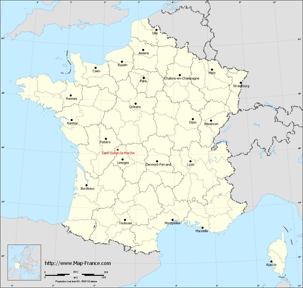
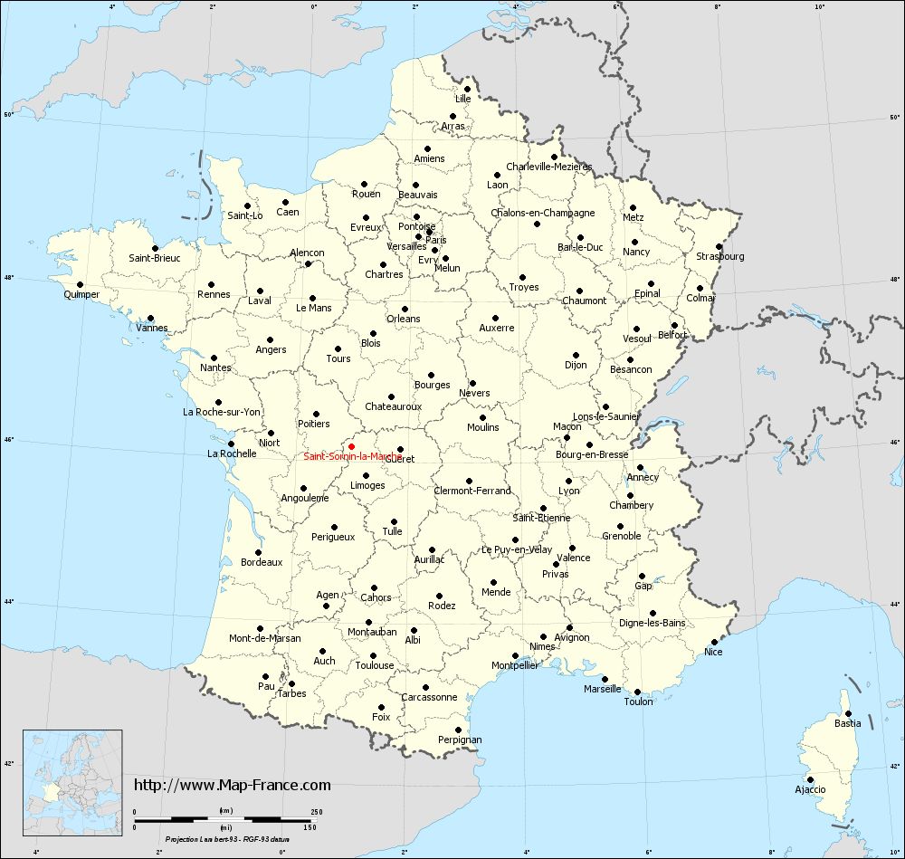
Map of Saint-Sornin-la-Marche with regions and prefectures
|
View the map of Saint-Sornin-la-Marche in full screen (1000 x 949)
|
You will find the location of Saint-Sornin-la-Marche on the map of France of regions in Lambert 93 coordinates. The town of Saint-Sornin-la-Marche is located in the department of Haute-Vienne of the french region Limousin.
Geographical sexagesimal coordinates / GPS (WGS84):
Latitude: 46° 10' 57'' North
Longitude: 00° 59' 22'' East
Geographical decimal coordinates :
Latitude: 46.184 degrees (46.184° North)
Longitude: 0.99 degrees (0.99° East)
Lambert 93 coordinates :
X: 5 449 hectometers
Y: 65 667 hectometers
Lambert 2 coordinates :
X: 4 960 hectometers
Y: 21 323 hectometers
Below, the geographical coordinates of Limoges, prefecture of the Haute-Vienne department:
Geographical sexagesimal coordinates / GPS (WGS84):
Latitude: 45° 50' 04'' North
Longitude: 01° 15' 42'' East
Geographical decimal coordinates :
Latitude: 45.832 degrees (45.832° North)
Longitude: 1.259 degrees (1.259° East)
Lambert 93 coordinates :
X: 5 651 hectometers
Y: 65 276 hectometers
Lambert 2 coordinates :
X: 5 165 hectometers
Y: 20 933 hectometers
|
This map of Saint-Sornin-la-Marche is reusable and modifiable by making a link to this page of the Map-France.com website or by using the given code :
|
Map of Saint-Sornin-la-Marche with departments and prefectures
|
Voir la carte of Saint-Sornin-la-Marche en grand format (1000 x 949)
|
Here is the localization of Saint-Sornin-la-Marche on the France map of departments in Lambert 93 coordinates. The city of Saint-Sornin-la-Marche is shown on the map by a red point.
The town of Saint-Sornin-la-Marche is located in the department of Haute-Vienne of the french region Limousin.
The latitude of Saint-Sornin-la-Marche is 46.184 degrees North.
The longitude of Saint-Sornin-la-Marche is 0.99 degrees East.
Here the distance between Saint-Sornin-la-Marche and the biggest cities of France:
Distances are calculated as the crow flies (orthodromic distance)
Distance between Saint-Sornin-la-Marche and Paris : 314.35 kilometers
Distance between Saint-Sornin-la-Marche and Marseille : 473.07 kilometers
Distance between Saint-Sornin-la-Marche and Lyon : 300.58 kilometers
Distance between Saint-Sornin-la-Marche and Toulouse : 289.33 kilometers
Distance between Saint-Sornin-la-Marche and Nice : 564.62 kilometers
Distance between Saint-Sornin-la-Marche and Nantes : 225.39 kilometers
Distance between Saint-Sornin-la-Marche and Strasbourg : 574.35 kilometers
Distance between Saint-Sornin-la-Marche and Montpellier : 365.14 kilometers
Distance between Saint-Sornin-la-Marche and Bordeaux : 192.42 kilometers
Distance between Saint-Sornin-la-Marche and Lille : 516.48 kilometers
Distance between Saint-Sornin-la-Marche and Rennes : 293.94 kilometers
Distance between Saint-Sornin-la-Marche and Reims : 410.24 kilometers
Clic here to see the map of Saint-Sornin-la-Marche in full screen:
Saint-Sornin-la-Marche on the map of french departments
|
This administrative map of Saint-Sornin-la-Marche is reusable and modifiable by making a link to this page of the Map-France.com website or by using the given code :
|
Administrative base maps of Saint-Sornin-la-Marche
|

See the administrative base map of Saint-Sornin-la-Marche in full screen (1000 x 949)
|
Small administrative base map of Saint-Sornin-la-Marche
|
This base map administrative of Saint-Sornin-la-Marche is reusable and modifiable by making a link to this page of the Map-France.com website or by using the given code :
|
 French Version : http://www.cartesfrance.fr