|
The city of Saint-Vit is a small town located east of France. The city of Saint-Vit is located in the department of Doubs of the french region Franche-Comté. The city of Saint-Vit is located in the township of Boussières part of the district of Besançon. The area code for Saint-Vit is 25527 (also known as code INSEE), and the Saint-Vit zip code is 25410.
Geography and map of Saint-Vit :
The altitude of the city hall of Saint-Vit is approximately 257 meters. The Saint-Vit surface is 16.44 km ². The latitude and longitude of Saint-Vit are 47.182 degrees North and 5.811 degrees East.
Nearby cities and towns of Saint-Vit are :
Salans (39700) at 2.24 km, Roset-Fluans (25410) at 2.28 km, Ferrières-les-Bois (25410) at 2.71 km, Berthelange (25410) at 2.98 km, Routelle (25410) at 3.26 km, Évans (39700) at 3.34 km, Pouilley-Français (25410) at 3.77 km, Velesmes-Essarts (25410) at 4.86 km.
(The distances to these nearby towns of Saint-Vit are calculated as the crow flies)
Population and housing of Saint-Vit :
The population of Saint-Vit was 4 379 in 1999, 4 594 in 2006 and 4 625 in 2007. The population density of Saint-Vit is 281.33 inhabitants per km². The number of housing of Saint-Vit was 1 886 in 2007. These homes of Saint-Vit consist of 1 779 main residences, 46 second or occasional homes and 61 vacant homes. |
|
|
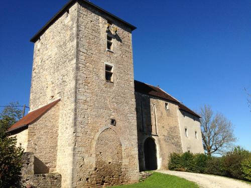
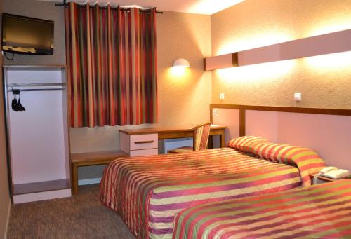
Hotel Saint-Vit
|
|
|
Book now ! Best Price Guaranteed, no booking fees, pay at the hotel with our partner Booking.com, leader in online hotel reservation.
Find all hotels of Saint-Vit : Hotel Saint-Vit
| |
|
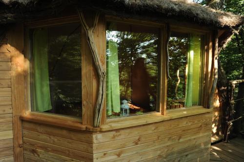
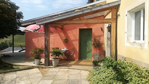
Bed and Breakfast : Cabanes du Bois Clair
Cabanes du Bois Clair is situated in Ranchot. Some units feature a terrace and/or balcony. A continental breakfast is available daily at the bed and breakfast. Besançon is 35...
Rate : from 150.00 €
to 355.00 €
Address : La Plaine 39700 Ranchot
Distance Bed and Breakfast - Saint-Vit : 6.58 km
|
|
|
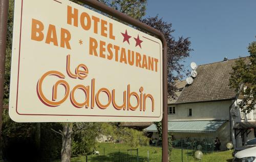
Hotel : Le Galoubin

Le Galoubin is located in Ranchot. It offers a restaurant, free WiFi and classically-furnished rooms featuring a flat-screen TV. Each room at the 2-star Le Galoubin will provid...
Contact : 26 Grande Rue 39700 Ranchot
Distance Hotel - Saint-Vit : 7.53 km
|
|
|
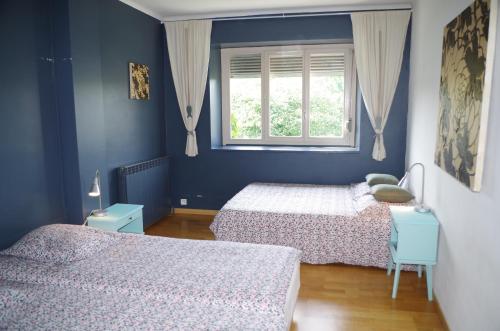
Guest accommodation : L'Appart d'Eliot

L'Appart d'Eliot is a self-catering accommodation located in Montferrand-le-Château. Free Wi-Fi access is available throughout and you can relax on the terrace with outdoor furn...
Contact : 3 rue de la Fontaine 25320 Montferrand-le-Château
Distance Guest accommodation - Saint-Vit : 7.78 km
|
|
|
Guest accommodation : Le Jardin d'Inès
Situated 10 km from Besançon and 23 km from Saline Royale d'Arc-et-Senans, this self-catering house features a furnished terrace, barbecue facilities and a playground are for ch...
Contact : 3 rue de la Fontaine 25320 Montferrand-le-Château
Distance Guest accommodation - Saint-Vit : 7.80 km
|
|
|
Guest accommodation : Guesthouse Chateau Cordiron
Situated in Burgille, Guesthouse Chateau Cordiron has a garden, terrace and free WiFi. All rooms boast a kitchen and a private bathroom. Guests can enjoy garden views. The unit...
Price : from 85.00 €
Address : CORDIRON 1, chemin de la Tour 25170 Burgille
Distance Guest accommodation - Saint-Vit : 9.40 km
|
|
|
Apartment : Lolotte et Gégé
Set in Audeux in the Franche-Comté region, Lolotte et Gégé has a terrace. Guests may enjoy free WiFi. This apartment comes with 1 bedroom, a flat-screen TV, and a kitchen with ...
Prices : from 45.00 €
to 60.00 €
Contact : 2 rue de la fontaine 25170 Audeux
Distance Apartment - Saint-Vit : 9.85 km
|
|
|
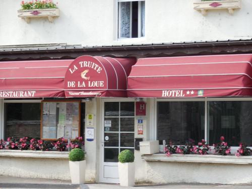
Hotel : La Truite de la Loue
This hotel is located on the banks of the River Loue, in the region of Franche-Comté. It features a restaurant with a terrace built over the river. Free Wi-Fi access is availabl...
Rate : from 76.95 €
to 145.00 €
Contact : 2 Route de Lyon 25440 Quingey
Distance Hotel - Saint-Vit : 10.44 km
|
|
|
Hotel : Hotel Siatel Aragon
Featuring free WiFi and a terrace, this hotel is situated 7.5 km from the centre of Besançon in the Franche-Comté region. It is just 6.5 km from exit 3 of the A36 motorway. Air ...
Price : from 39.06 €
to 82.00 €
Contact : 8 Rue Louis Aragon 25000 Besançon
Distance Hotel - Saint-Vit : 10.55 km
|
|
|
Hotel : Hotel Siatel Chateaufarine
This hotel is located 7.5 km from the centre of Besançon in the Franche-Comté region and offers free Wi-Fi. Guests are invited to relax on the terrace or use the billiards table...
Prices : from 39.06 €
to 140.00 €
Address : 6 Rue Louis Aragon 25000 Besançon
Distance Hotel - Saint-Vit : 10.56 km
|
|
|
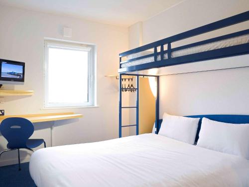
Hotel : Ibis Budget Besançon Ouest
Featuring free WiFi throughout the property, Ibis Budget Besançon Ouest offers accommodation in Besançon. Free private parking is available on site. Each room comes with a TV. ...
Rate : from 41.00 €
to 48.00 €
Contact : 6 Rue Louis Aragon ZAC de Chateaufarine BP 25805 25000 Besançon
Distance Hotel - Saint-Vit : 10.64 km
|
|
Find another hotel near Saint-Vit : Saint-Vit hotels list
|
Map of Saint-Vit
|
|
Map of Saint-Vit :
At right you can find the localization of Saint-Vit on the map of France. Below, this is the satellite map of Saint-Vit. A road map, and maps templates of Saint-Vit are available here : "road map of Saint-Vit". This map show Saint-Vit seen by the satellite of Google Map. To see the streets of Saint-Vit or move on another zone, use the buttons "zoom" and "map" on top of this dynamic map.
Search on the map of Saint-Vit :
To search hotels, housings, tourist information office, administrations or other services, use the Google search integrated to the map on the following page : "map Saint-Vit".
Hotels of Saint-Vit are listed on the map with the following icons: 
The map of Saint-Vit is centred in the following coordinates :
|

|
|
|
|
Print the map of Saint-Vit

Print the map of Saint-Vit : map of Saint-Vit
|
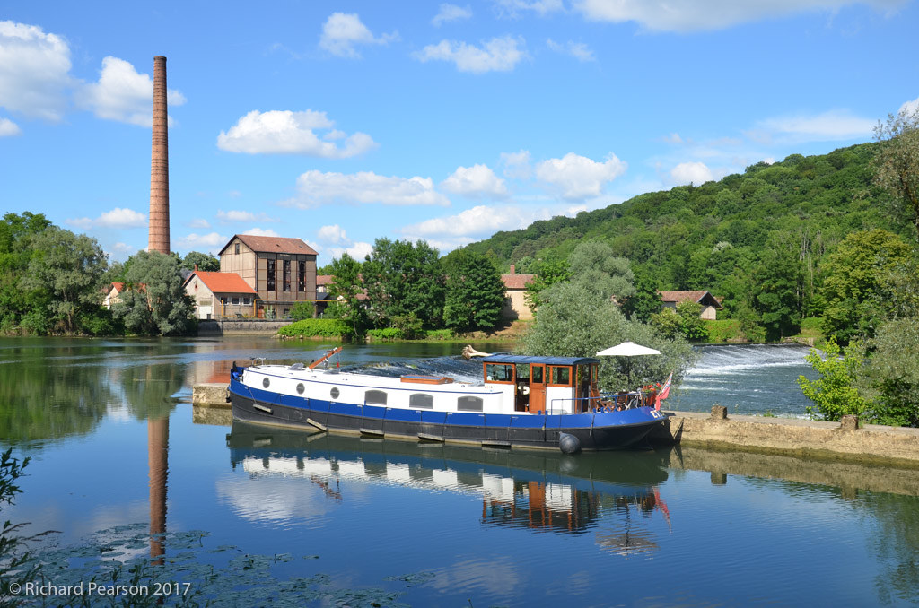
Photos Saint-Vit
|
See all photos of Saint-Vit :
Other photos of Saint-Vit and nearby towns can be found here: photos Saint-Vit
|
|
Saint-Vit weather forecast
Find next hours and 7 days weather forecast for Saint-Vit here : weather Saint-Vit (with english metrics)
This is the last weather forecast for Saint-Vit collected by the nearest observation station of Boussières.
Week Forecast:
The latest weather data for Saint-Vit were collected Thursday, 30 July 2026 at 19:02 from the nearest observation station of Boussières.
| Thursday, July 30th |
35°C 18°C
26%
30%
|
Mostly clear
Temperature Max: 35°C Temperature Min: 18°C
Precipitation Probability: 26%
Percentage of sky occluded by clouds: 30%
Wind speed: 8 km/h North-East
Humidity: 35%° UV Index: 7
Sunrise: 06:12 Sunset: 21:12 |
|
| | Friday, July 31st |
29°C 20°C
51%
77%
|
Rain
Temperature Max: 29°C Temperature Min: 20°C
Precipitation Probability: 51% (Rain)
Percentage of sky occluded by clouds: 77%
Wind speed: 10 km/h North-East
Humidity: 49%° UV Index: 4
Sunrise: 06:13 Sunset: 21:11 |
|
| | Saturday, August 1st |
28°C 18°C
42%
51%
|
Drizzle
Temperature Max: 28°C Temperature Min: 18°C
Precipitation Probability: 42% (Rain)
Percentage of sky occluded by clouds: 51%
Wind speed: 7 km/h South-East
Humidity: 63%° UV Index: 6
Sunrise: 06:15 Sunset: 21:09 |
|
| | Sunday, August 2nd |
31°C 17°C
14%
20%
|
Mostly clear
Temperature Max: 31°C Temperature Min: 17°C
Precipitation Probability: 14% (Rain)
Percentage of sky occluded by clouds: 20%
Wind speed: 6 km/h South-East
Humidity: 50%° UV Index: 7
Sunrise: 06:16 Sunset: 21:08 |
|
|
Attribution: 
|
|
Other maps, hotels and towns in france
Find another town, zip code, department, region, ...
Quick links Saint-Vit :
Make a link to this page of Saint-Vit with the following code :
|
|
|
 French Version : http://www.cartesfrance.fr/carte-france-ville/25527_Saint-Vit.html