|
The village of Sainte-Agathe is a small village located center of France. The town of Sainte-Agathe is located in the department of Puy-de-Dôme of the french region Auvergne. The town of Sainte-Agathe is located in the township of Courpière part of the district of Thiers. The area code for Sainte-Agathe is 63310 (also known as code INSEE), and the Sainte-Agathe zip code is 63120.
Geography and map of Sainte-Agathe :
The altitude of the city hall of Sainte-Agathe is approximately 620 meters. The Sainte-Agathe surface is 18.31 km ². The latitude and longitude of Sainte-Agathe are 45.822 degrees North and 3.613 degrees East.
Nearby cities and towns of Sainte-Agathe are :
Escoutoux (63300) at 3.85 km, Vollore-Ville (63120) at 4.20 km, Celles-sur-Durolle (63250) at 4.28 km, Viscomtat (63250) at 4.97 km, La Monnerie-le-Montel (63650) at 5.52 km, Vollore-Montagne (63120) at 6.24 km, Thiers (63300) at 6.33 km, Aubusson-d'Auvergne (63120) at 7.38 km.
(The distances to these nearby towns of Sainte-Agathe are calculated as the crow flies)
Population and housing of Sainte-Agathe :
The population of Sainte-Agathe was 207 in 1999, 196 in 2006 and 194 in 2007. The population density of Sainte-Agathe is 10.60 inhabitants per km². The number of housing of Sainte-Agathe was 129 in 2007. These homes of Sainte-Agathe consist of 84 main residences, 34 second or occasional homes and 11 vacant homes. |
|
|
Hotel Sainte-Agathe
|
|
|
Book now ! Best Price Guaranteed, no booking fees, pay at the hotel with our partner Booking.com, leader in online hotel reservation.
Find all hotels of Sainte-Agathe : Hotel Sainte-Agathe
| |
|
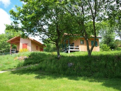
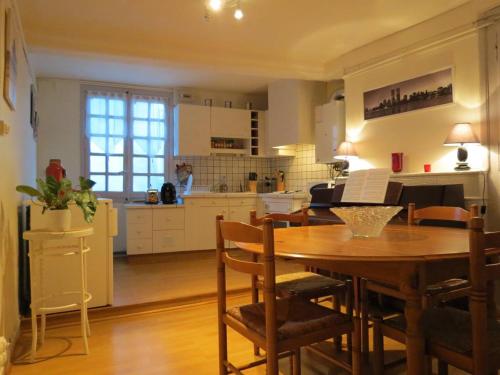
Guest accommodation : Camping le Montbartoux

Camping le Montbartoux is 2 km from the centre of Vollore-Ville and an 8-minute drive from Courpière. It offers self-catering accommodation, a seasonal outdoor swimming pool and...
Rate : from 60.00 €
to 75.00 €
Address : Chemin de Montbartoux 63120 Vollore-Ville
Distance Guest accommodation - Sainte-Agathe : 2.51 km
|
|
|
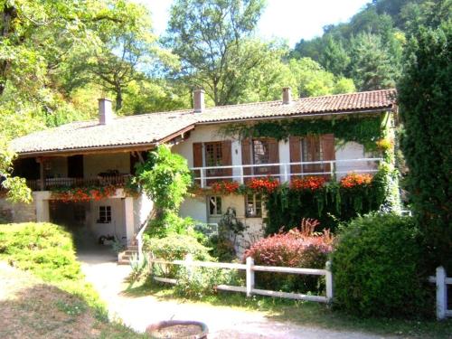
Guest accommodation : Le Moulin d'Escoutoux
Boasting a garden and a terrace, Le Moulin d'Escoutoux features accommodation in Thiers with free WiFi and mountain views. This holiday home offers accommodation with a balcony....
Contact : Escoutoux 63300 Thiers
Distance Guest accommodation - Sainte-Agathe : 3.75 km
|
|
|
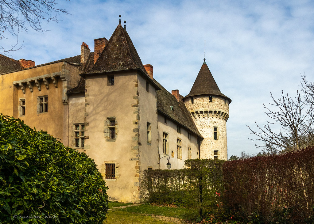
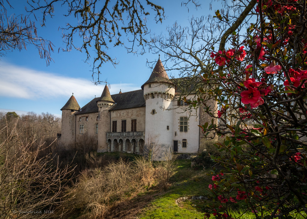
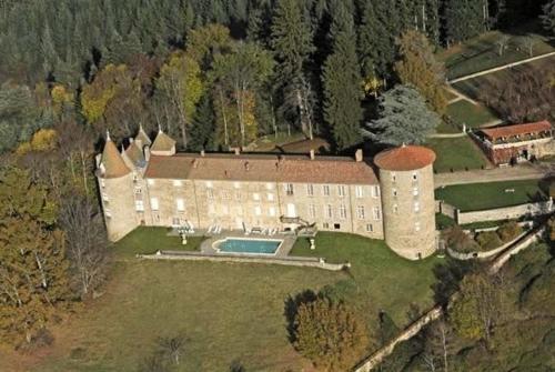
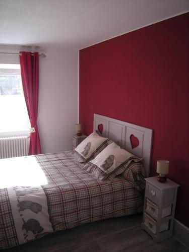
Bed and Breakfast : Château De Vollore
This 12th-century castle is located in Auvergne, in the heart of the Regional Natural Park of Livradois-Forez. It has panoramic views over the mountains and a terrace with an ou...
Contact : Château De Vollore 63120 Vollore-Ville
Distance Bed and Breakfast - Sainte-Agathe : 4.15 km
|
|
|
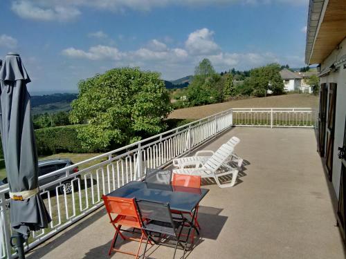
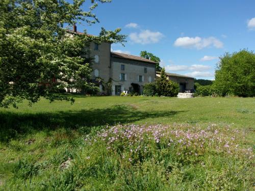
Guest accommodation : La Panoramique des Puys
Set in Vollore-Ville, La Panoramique des Puys features accommodation with a terrace and free WiFi. Guests have a private balcony. This holiday home is equipped with 2 bedrooms,...
Contact : Le Bouchet - Chemin Des Puys 63120 Vollore-Ville
Distance Guest accommodation - Sainte-Agathe : 4.75 km
|
|
|
Bed and Breakfast : Le trois mâts
Situated in Thiers, Le trois mâts offers accommodation with a flat-screen TV. Free WiFi is provided. Some units also have a kitchen equipped with an oven and microwave. Clermo...
Price : from 35.00 €
to 66.00 €
Address : 30 rue Durolle 63300 Thiers
Distance Bed and Breakfast - Sainte-Agathe : 5.99 km
|
|
|
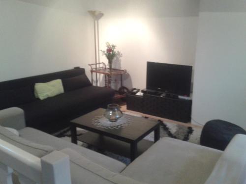
Bed and Breakfast : Minshuku Chambres d'hôtes japonaises
Minshuku Chambres d'hôtes japonaises offers accommodation in Thiers. Free WiFi is provided. Rooms have a flat-screen TV and Blu-ray player, a coffee machine and a private bathr...
Prices : from 75.00 €
to 99.00 €
Contact : 2 Impasse des Tanneries 63300 Thiers
Distance Bed and Breakfast - Sainte-Agathe : 6.00 km
|
|
|
Apartment : Le Medieval
Le Medieval offers accommodation in Thiers, 37 km from Clermont-Ferrand. The property features views of the city is 32 km from Vichy. Free WiFi is available throughout the prope...
Rate : from 40.00 €
Contact : 18 Rue du Bourg 63300 Thiers
Distance Apartment - Sainte-Agathe : 6.17 km
|
|
|
Hotel : Hotel gites des touristes
Hotel gites des touristes in Vollore-Montagne features a casino and barbecue facilities. Featuring a shared lounge, this property also welcomes guests with a restaurant and a te...
Price : from 55.00 €
Contact : le bourg 63120 Vollore-Montagne
Distance Hotel - Sainte-Agathe : 6.20 km
|
|
|
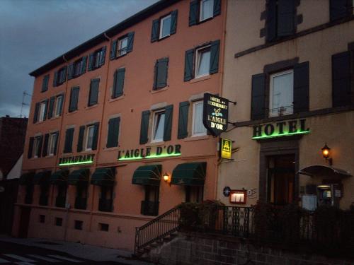
Hotel : L'Aigle d'Or
L’Aigle d’Or hotel is situated in the heights of the medieval town of Thiers in the Auvergne region. It offers rooms with free Wi-Fi access and features a traditional décor in t...
Prices : from 52.00 €
to 59.00 €
Address : 8 Rue de Lyon 63300 Thiers
Distance Hotel - Sainte-Agathe : 6.23 km
|
|
|
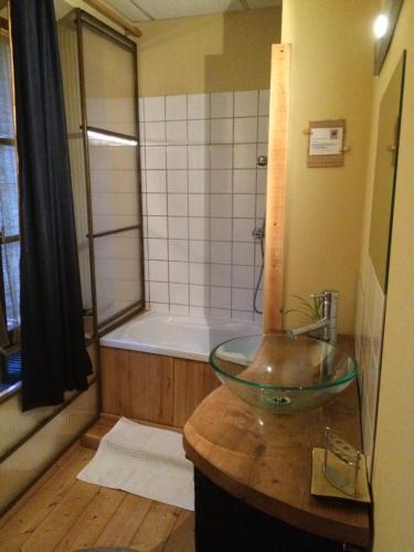
Bed and Breakfast : Chambres d'hôtes le Besset
Providing a seasonal outdoor swimming pool and free WiFi, Chambres d'hôtes le Besset provides accommodation in Thiers. There is a private bathroom with shower and free toiletri...
Rate : from 59.00 €
to 78.00 €
Contact : Le Besset 63300 Thiers
Distance Bed and Breakfast - Sainte-Agathe : 6.71 km
|
|
Find another hotel near Sainte-Agathe : Sainte-Agathe hotels list
|
Map of Sainte-Agathe
|
|
Map of Sainte-Agathe :
At right you can find the localization of Sainte-Agathe on the map of France. Below, this is the satellite map of Sainte-Agathe. A road map, and maps templates of Sainte-Agathe are available here : "road map of Sainte-Agathe". This map show Sainte-Agathe seen by the satellite of Google Map. To see the streets of Sainte-Agathe or move on another zone, use the buttons "zoom" and "map" on top of this dynamic map.
Search on the map of Sainte-Agathe :
To search hotels, housings, tourist information office, administrations or other services, use the Google search integrated to the map on the following page : "map Sainte-Agathe".
Hotels of Sainte-Agathe are listed on the map with the following icons: 
The map of Sainte-Agathe is centred in the following coordinates :
|

|
|
|
|
Print the map of Sainte-Agathe

Print the map of Sainte-Agathe : map of Sainte-Agathe
|
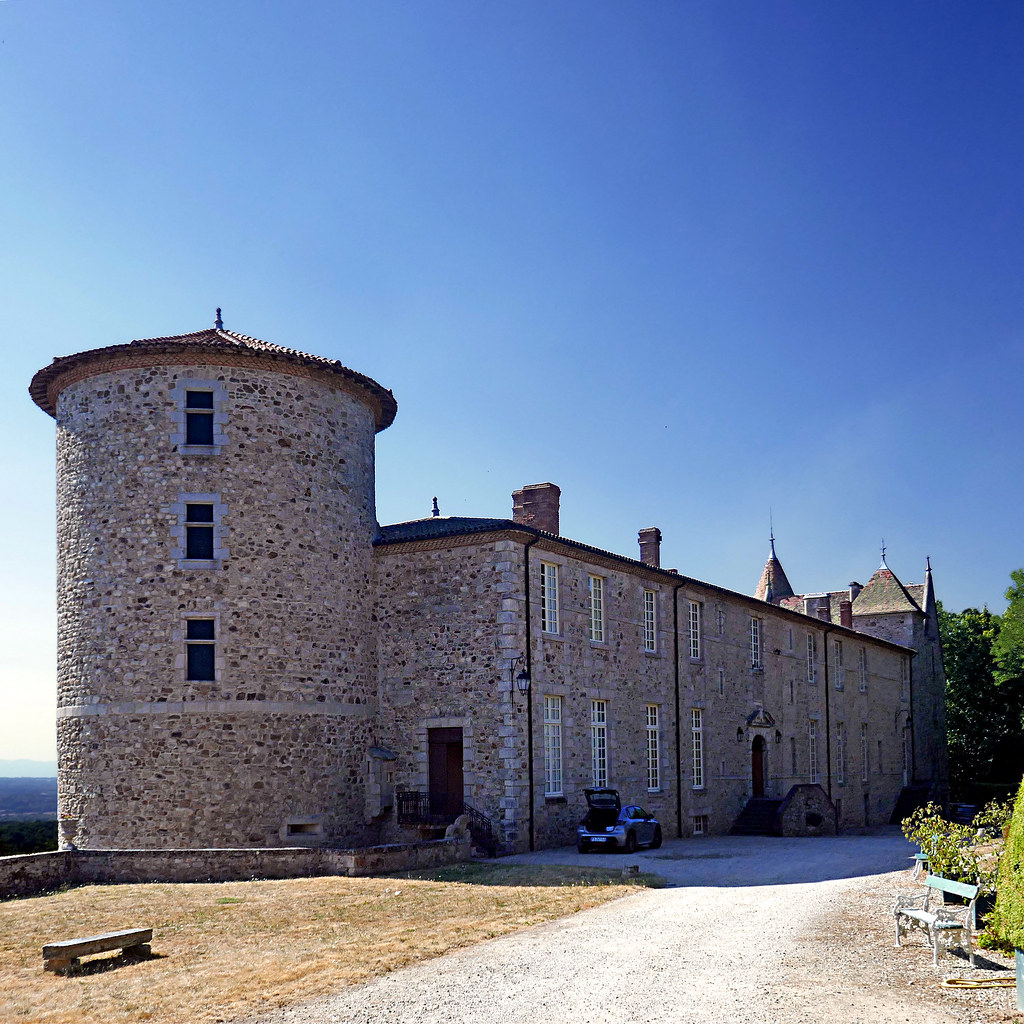
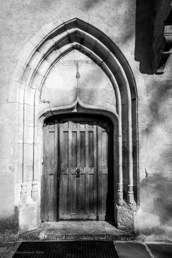
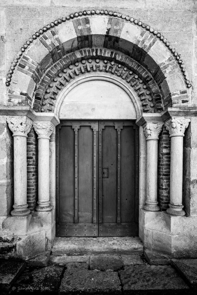
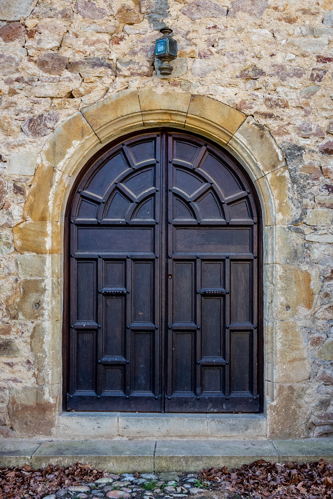
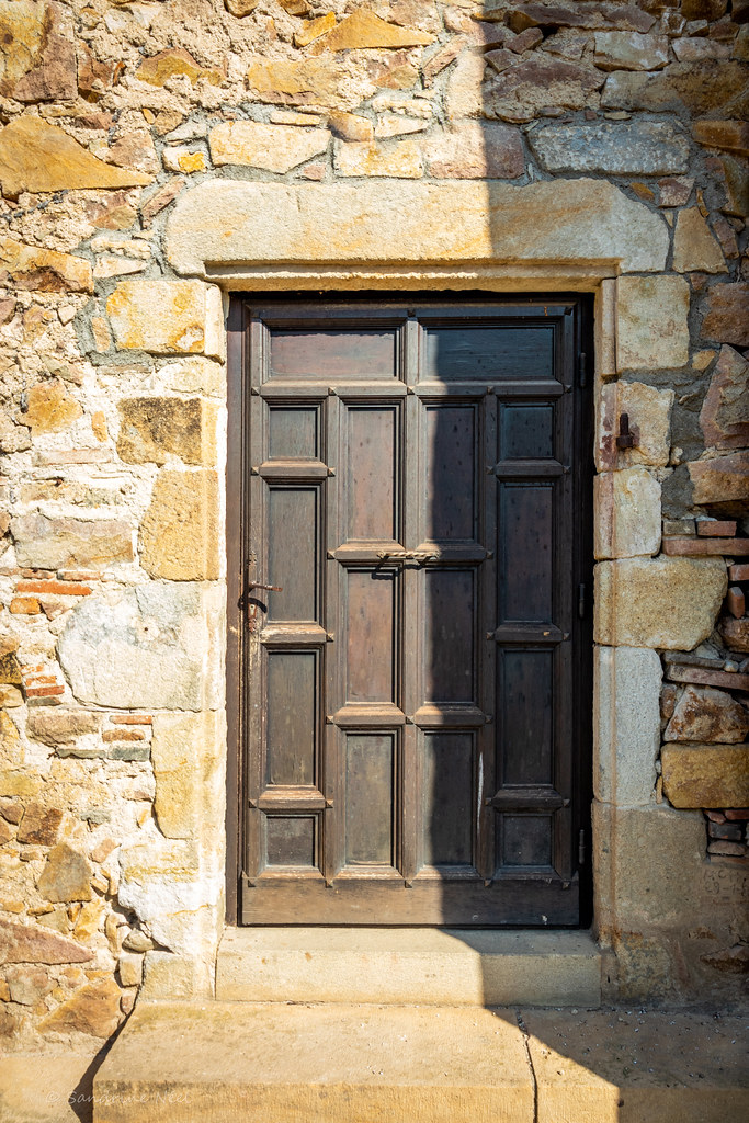
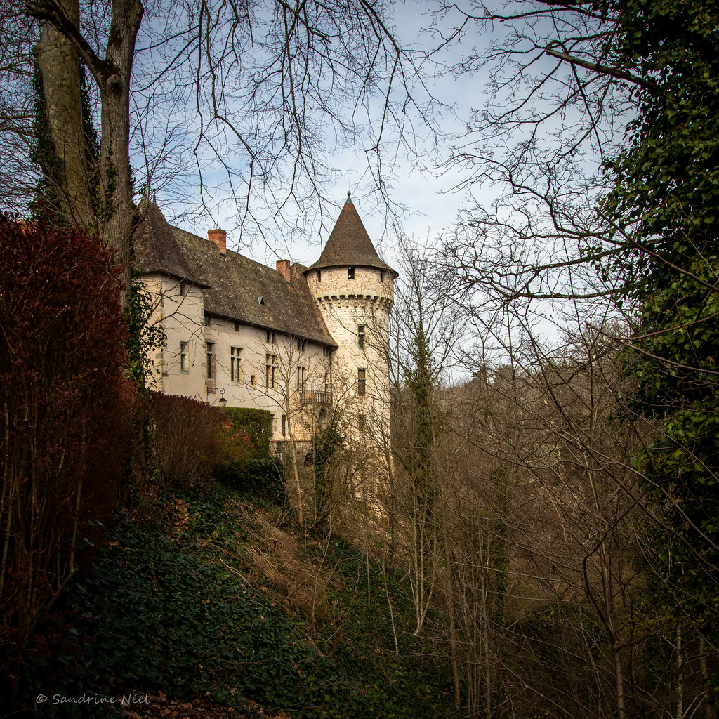
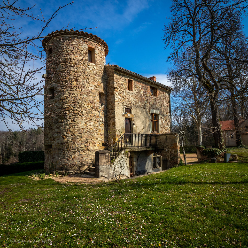
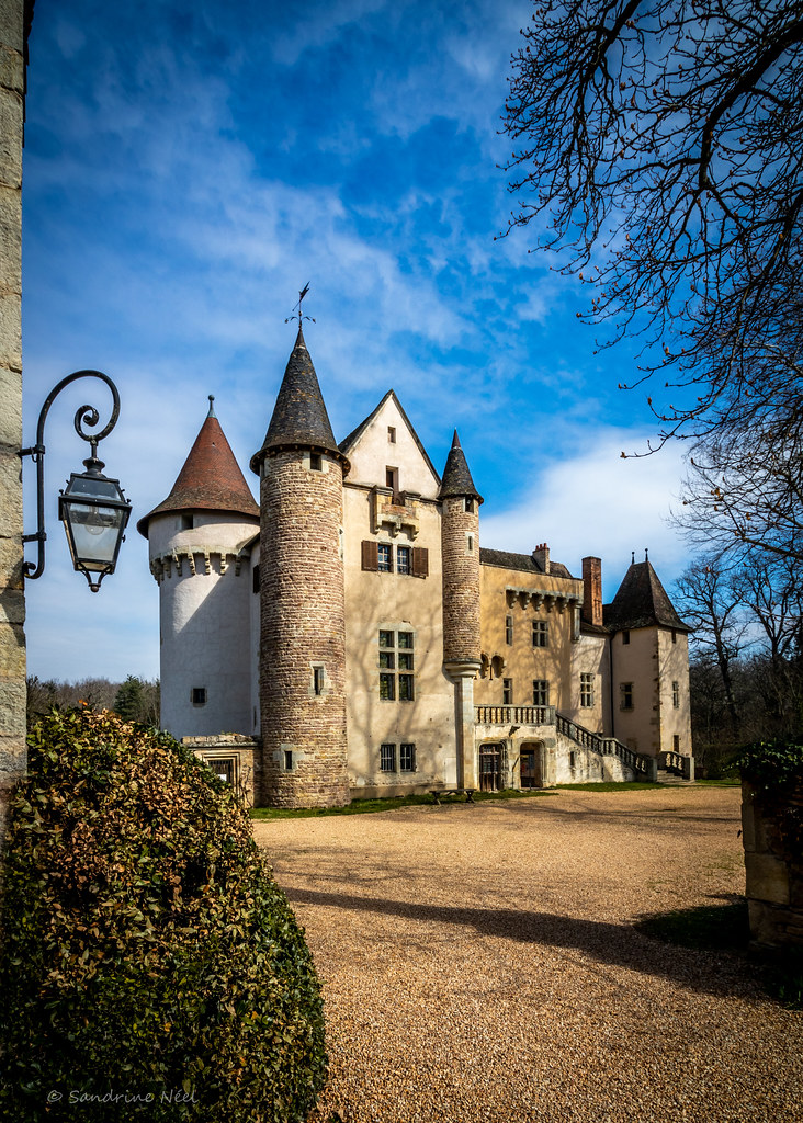
Photos Sainte-Agathe
|
See all photos of Sainte-Agathe :
Other photos of Sainte-Agathe and nearby towns can be found here: photos Sainte-Agathe
|
|
Sainte-Agathe weather forecast
Find next hours and 7 days weather forecast for Sainte-Agathe here : weather Sainte-Agathe (with english metrics)
This is the last weather forecast for Sainte-Agathe collected by the nearest observation station of Courpière.
Week Forecast:
The latest weather data for Sainte-Agathe were collected Friday, 31 July 2026 at 08:04 from the nearest observation station of Courpière.
| Friday, July 31st |
31°C 19°C
76%
65%
|
Thunderstorms
Temperature Max: 31°C Temperature Min: 19°C
Precipitation Probability: 76% (Rain)
Percentage of sky occluded by clouds: 65%
Wind speed: 7 km/h South-East
Humidity: 65%° UV Index: 7
Sunrise: 06:27 Sunset: 21:16 |
|
| | Saturday, August 1st |
29°C 18°C
28%
28%
|
Mostly clear
Temperature Max: 29°C Temperature Min: 18°C
Precipitation Probability: 28% (Rain)
Percentage of sky occluded by clouds: 28%
Wind speed: 7 km/h South-East
Humidity: 63%° UV Index: 8
Sunrise: 06:29 Sunset: 21:15 |
|
| | Sunday, August 2nd |
34°C 17°C
29%
16%
|
Mostly clear
Temperature Max: 34°C Temperature Min: 17°C
Precipitation Probability: 29%
Percentage of sky occluded by clouds: 16%
Wind speed: 5 km/h South-East
Humidity: 48%° UV Index: 7
Sunrise: 06:30 Sunset: 21:13 |
|
| | Monday, August 3rd |
33°C 21°C
45%
61%
|
Thunderstorms
Temperature Max: 33°C Temperature Min: 21°C
Precipitation Probability: 45% (Rain)
Percentage of sky occluded by clouds: 61%
Wind speed: 7 km/h North
Humidity: 44%° UV Index: 7
Sunrise: 06:31 Sunset: 21:12 |
|
|
Attribution: 
|
|
Other maps, hotels and towns in france
Find another town, zip code, department, region, ...
Quick links Sainte-Agathe :
Make a link to this page of Sainte-Agathe with the following code :
|
|
|
 French Version : http://www.cartesfrance.fr/carte-france-ville/63310_Sainte-Agathe.html