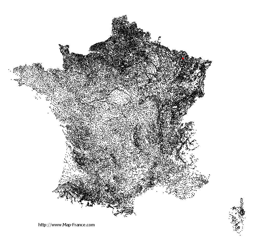
Sainte-Barbe on the relief France map in Lambert 93 coordinates
|

See the map of Sainte-Barbe in full screen (1000 x 949)
|
At left, here is the location of Sainte-Barbe on the relief France map in Lambert 93 coordinates.
Here are the altitudes of Sainte-Barbe :
- Town hall altitude of Sainte-Barbe is 290 meters
- Minimum altitude of Sainte-Barbe is 225 meters
- Maximum altitude of Sainte-Barbe is 318 meters
- Medium altitude of Sainte-Barbe is 272 meters
Here are the altitudes of Metz, prefecture of Moselle department:
- Town hall altitude of Metz is 182 meters
- Minimum altitude of Metz is 162 meters
- Maximum altitude of Metz is 256 meters
- Medium altitude of Metz is 209 meters
Here are the altitudes of the french biggest cities:
Paris : 33 meters
Marseille : 20 meters
Lyon : 237 meters
Toulouse : 146 meters
Nice : 10 meters
Nantes : 20 meters
Strasbourg : 144 meters
Montpellier : 35 meters
Bordeaux : 16 meters
Lille : 20 meters
Rennes : 35 meters
Reims : 83 meters
Click here for the terrain map of Sainte-Barbe in full screen:
Relief map of Sainte-Barbe
|
This relief map of Sainte-Barbe is reusable and modifiable by making a link to this page of the Map-France.com website or by using the given code :
|
Terrain base map of Sainte-Barbe
|

See the terrain base map of Sainte-Barbe in full screen (1000 x 949)
|
Small relief base map of Sainte-Barbe

|
This base map of Sainte-Barbe is reusable and modifiable by making a link to this page of the Map-France.com website or by using the given code :
|
Map of Sainte-Barbe with regions and prefectures
|
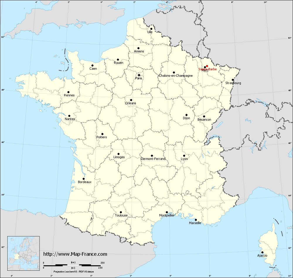
View the map of Sainte-Barbe in full screen (1000 x 949)
|
You will find the location of Sainte-Barbe on the map of France of regions in Lambert 93 coordinates. The town of Sainte-Barbe is located in the department of Moselle of the french region Lorraine.
Geographical sexagesimal coordinates / GPS (WGS84):
Latitude: 49° 09' 32'' North
Longitude: 06° 18' 06'' East
Geographical decimal coordinates :
Latitude: 49.16 degrees (49.16° North)
Longitude: 6.302 degrees (6.302° East)
Lambert 93 coordinates :
X: 9 408 hectometers
Y: 69 005 hectometers
Lambert 2 coordinates :
X: 8 893 hectometers
Y: 24 696 hectometers
Below, the geographical coordinates of Metz, prefecture of the Moselle department:
Geographical sexagesimal coordinates / GPS (WGS84):
Latitude: 49° 07' 11'' North
Longitude: 06° 10' 37'' East
Geographical decimal coordinates :
Latitude: 49.109 degrees (49.109° North)
Longitude: 6.183 degrees (6.183° East)
Lambert 93 coordinates :
X: 9 319 hectometers
Y: 68 958 hectometers
Lambert 2 coordinates :
X: 8 804 hectometers
Y: 24 648 hectometers
|
This map of Sainte-Barbe is reusable and modifiable by making a link to this page of the Map-France.com website or by using the given code :
|
Map of Sainte-Barbe with departments and prefectures
|
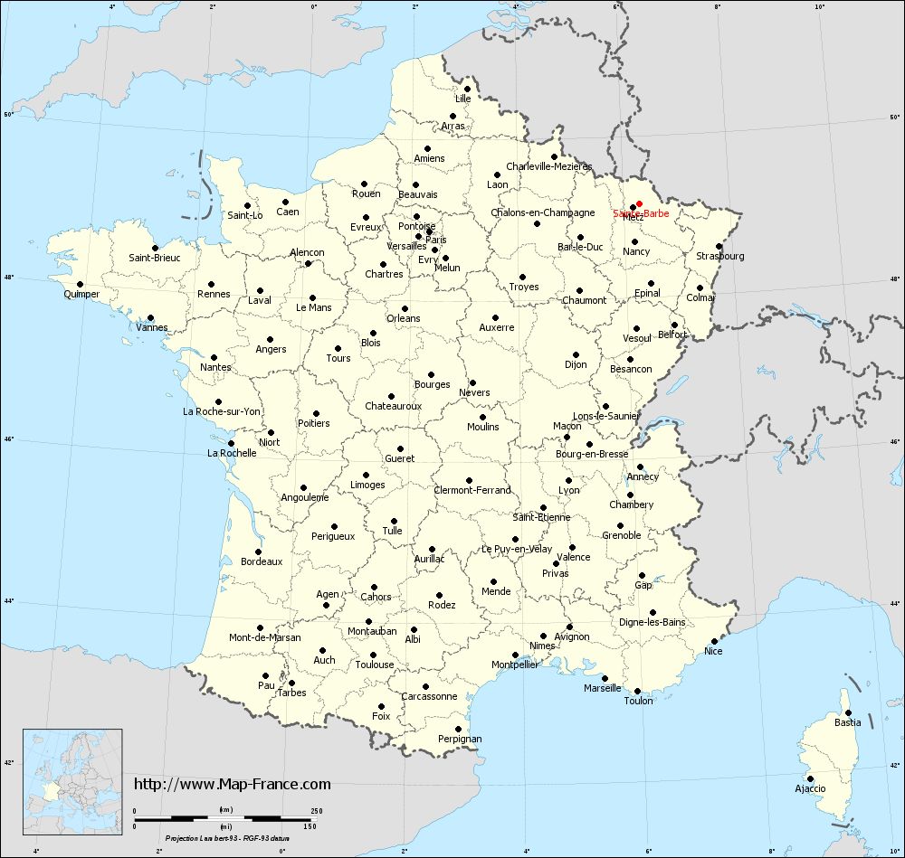
Voir la carte of Sainte-Barbe en grand format (1000 x 949)
|
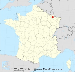
Here is the localization of Sainte-Barbe on the France map of departments in Lambert 93 coordinates. The city of Sainte-Barbe is shown on the map by a red point.
The town of Sainte-Barbe is located in the department of Moselle of the french region Lorraine.
The latitude of Sainte-Barbe is 49.16 degrees North.
The longitude of Sainte-Barbe is 6.302 degrees East.
Here the distance between Sainte-Barbe and the biggest cities of France:
Distances are calculated as the crow flies (orthodromic distance)
Distance between Sainte-Barbe and Paris : 290.16 kilometers
Distance between Sainte-Barbe and Marseille : 655 kilometers
Distance between Sainte-Barbe and Lyon : 393.47 kilometers
Distance between Sainte-Barbe and Toulouse : 720.66 kilometers
Distance between Sainte-Barbe and Nice : 610.37 kilometers
Distance between Sainte-Barbe and Nantes : 620.17 kilometers
Distance between Sainte-Barbe and Strasbourg : 124 kilometers
Distance between Sainte-Barbe and Montpellier : 644.09 kilometers
Distance between Sainte-Barbe and Bordeaux : 707.66 kilometers
Distance between Sainte-Barbe and Lille : 284.49 kilometers
Distance between Sainte-Barbe and Rennes : 597.33 kilometers
Distance between Sainte-Barbe and Reims : 165.14 kilometers
Clic here to see the map of Sainte-Barbe in full screen:
Sainte-Barbe on the map of french departments
|
This administrative map of Sainte-Barbe is reusable and modifiable by making a link to this page of the Map-France.com website or by using the given code :
|
Administrative base maps of Sainte-Barbe
|
See the administrative base map of Sainte-Barbe in full screen (1000 x 949)
|
Small administrative base map of Sainte-Barbe
|
This base map administrative of Sainte-Barbe is reusable and modifiable by making a link to this page of the Map-France.com website or by using the given code :
|
 French Version : http://www.cartesfrance.fr