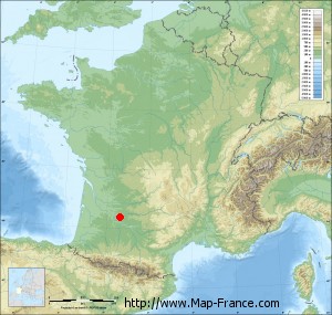
Sainte-Colombe-de-Villeneuve on the relief France map in Lambert 93 coordinates
|

See the map of Sainte-Colombe-de-Villeneuve in full screen (1000 x 949)
|
At left, here is the location of Sainte-Colombe-de-Villeneuve on the relief France map in Lambert 93 coordinates.
Here are the altitudes of Sainte-Colombe-de-Villeneuve :
- Town hall altitude of Sainte-Colombe-de-Villeneuve is 190 meters
- Minimum altitude of Sainte-Colombe-de-Villeneuve is 70 meters
- Maximum altitude of Sainte-Colombe-de-Villeneuve is 224 meters
- Medium altitude of Sainte-Colombe-de-Villeneuve is 147 meters
Here are the altitudes of Agen, prefecture of Lot-et-Garonne department:
- Town hall altitude of Agen is 50 meters
- Minimum altitude of Agen is 37 meters
- Maximum altitude of Agen is 162 meters
- Medium altitude of Agen is 100 meters
Here are the altitudes of the french biggest cities:
Paris : 33 meters
Marseille : 20 meters
Lyon : 237 meters
Toulouse : 146 meters
Nice : 10 meters
Nantes : 20 meters
Strasbourg : 144 meters
Montpellier : 35 meters
Bordeaux : 16 meters
Lille : 20 meters
Rennes : 35 meters
Reims : 83 meters
Click here for the terrain map of Sainte-Colombe-de-Villeneuve in full screen:
Relief map of Sainte-Colombe-de-Villeneuve
|
This relief map of Sainte-Colombe-de-Villeneuve is reusable and modifiable by making a link to this page of the Map-France.com website or by using the given code :
|
Terrain base map of Sainte-Colombe-de-Villeneuve
|

See the terrain base map of Sainte-Colombe-de-Villeneuve in full screen (1000 x 949)
|
Small relief base map of Sainte-Colombe-de-Villeneuve
|
This base map of Sainte-Colombe-de-Villeneuve is reusable and modifiable by making a link to this page of the Map-France.com website or by using the given code :
|
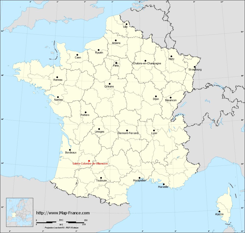
Map of Sainte-Colombe-de-Villeneuve with regions and prefectures
|
View the map of Sainte-Colombe-de-Villeneuve in full screen (1000 x 949)
|
You will find the location of Sainte-Colombe-de-Villeneuve on the map of France of regions in Lambert 93 coordinates. The town of Sainte-Colombe-de-Villeneuve is located in the department of Lot-et-Garonne of the french region Aquitaine.
Geographical sexagesimal coordinates / GPS (WGS84):
Latitude: 44° 21' 34'' North
Longitude: 00° 39' 33'' East
Geographical decimal coordinates :
Latitude: 44.359 degrees (44.359° North)
Longitude: 0.66 degrees (0.66° East)
Lambert 93 coordinates :
X: 5 135 hectometers
Y: 63 650 hectometers
Lambert 2 coordinates :
X: 4 662 hectometers
Y: 19 301 hectometers
Below, the geographical coordinates of Agen, prefecture of the Lot-et-Garonne department:
Geographical sexagesimal coordinates / GPS (WGS84):
Latitude: 44° 12' 11'' North
Longitude: 00° 37' 07'' East
Geographical decimal coordinates :
Latitude: 44.208 degrees (44.208° North)
Longitude: 0.621 degrees (0.621° East)
Lambert 93 coordinates :
X: 5 097 hectometers
Y: 63 478 hectometers
Lambert 2 coordinates :
X: 4 626 hectometers
Y: 19 128 hectometers
|
This map of Sainte-Colombe-de-Villeneuve is reusable and modifiable by making a link to this page of the Map-France.com website or by using the given code :
|
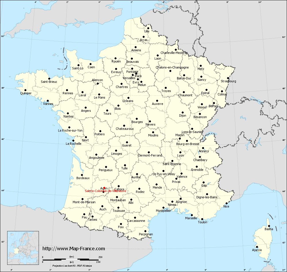
Map of Sainte-Colombe-de-Villeneuve with departments and prefectures
|
Voir la carte of Sainte-Colombe-de-Villeneuve en grand format (1000 x 949)
|
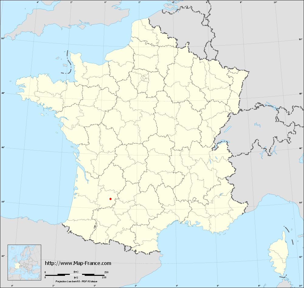
Here is the localization of Sainte-Colombe-de-Villeneuve on the France map of departments in Lambert 93 coordinates. The city of Sainte-Colombe-de-Villeneuve is shown on the map by a red point.
The town of Sainte-Colombe-de-Villeneuve is located in the department of Lot-et-Garonne of the french region Aquitaine.
The latitude of Sainte-Colombe-de-Villeneuve is 44.359 degrees North.
The longitude of Sainte-Colombe-de-Villeneuve is 0.66 degrees East.
Here the distance between Sainte-Colombe-de-Villeneuve and the biggest cities of France:
Distances are calculated as the crow flies (orthodromic distance)
Distance between Sainte-Colombe-de-Villeneuve and Paris : 516.43 kilometers
Distance between Sainte-Colombe-de-Villeneuve and Marseille : 397.68 kilometers
Distance between Sainte-Colombe-de-Villeneuve and Lyon : 362.66 kilometers
Distance between Sainte-Colombe-de-Villeneuve and Toulouse : 105.35 kilometers
Distance between Sainte-Colombe-de-Villeneuve and Nice : 532.17 kilometers
Distance between Sainte-Colombe-de-Villeneuve and Nantes : 361.1 kilometers
Distance between Sainte-Colombe-de-Villeneuve and Strasbourg : 717.25 kilometers
Distance between Sainte-Colombe-de-Villeneuve and Montpellier : 270.09 kilometers
Distance between Sainte-Colombe-de-Villeneuve and Bordeaux : 111.54 kilometers
Distance between Sainte-Colombe-de-Villeneuve and Lille : 719.08 kilometers
Distance between Sainte-Colombe-de-Villeneuve and Rennes : 453.65 kilometers
Distance between Sainte-Colombe-de-Villeneuve and Reims : 601.52 kilometers
Clic here to see the map of Sainte-Colombe-de-Villeneuve in full screen:
Sainte-Colombe-de-Villeneuve on the map of french departments
|
This administrative map of Sainte-Colombe-de-Villeneuve is reusable and modifiable by making a link to this page of the Map-France.com website or by using the given code :
|
Administrative base maps of Sainte-Colombe-de-Villeneuve
|
See the administrative base map of Sainte-Colombe-de-Villeneuve in full screen (1000 x 949)
|
Small administrative base map of Sainte-Colombe-de-Villeneuve
|
This base map administrative of Sainte-Colombe-de-Villeneuve is reusable and modifiable by making a link to this page of the Map-France.com website or by using the given code :
|
 French Version : http://www.cartesfrance.fr