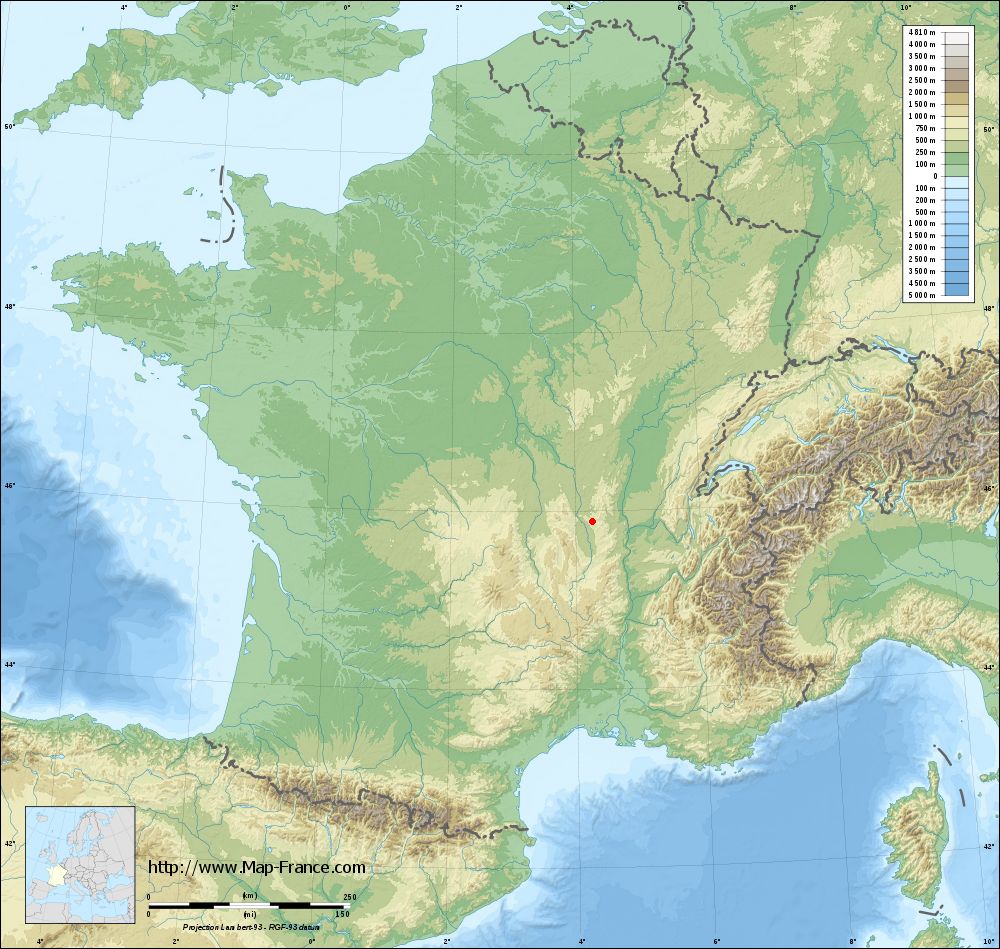
Sainte-Colombe-sur-Gand on the relief France map in Lambert 93 coordinates
|

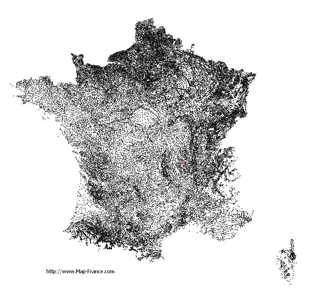
See the map of Sainte-Colombe-sur-Gand in full screen (1000 x 949)
|
At left, here is the location of Sainte-Colombe-sur-Gand on the relief France map in Lambert 93 coordinates.
Here are the altitudes of Sainte-Colombe-sur-Gand :
- Town hall altitude of Sainte-Colombe-sur-Gand is 581 meters
- Minimum altitude of Sainte-Colombe-sur-Gand is 468 meters
- Maximum altitude of Sainte-Colombe-sur-Gand is 774 meters
- Medium altitude of Sainte-Colombe-sur-Gand is 621 meters
Here are the altitudes of Saint-Étienne, prefecture of Loire department:
- Town hall altitude of Saint-Étienne is 515 meters
- Minimum altitude of Saint-Étienne is 422 meters
- Maximum altitude of Saint-Étienne is 1 117 meters
- Medium altitude of Saint-Étienne is 770 meters
Here are the altitudes of the french biggest cities:
Paris : 33 meters
Marseille : 20 meters
Lyon : 237 meters
Toulouse : 146 meters
Nice : 10 meters
Nantes : 20 meters
Strasbourg : 144 meters
Montpellier : 35 meters
Bordeaux : 16 meters
Lille : 20 meters
Rennes : 35 meters
Reims : 83 meters
Click here for the terrain map of Sainte-Colombe-sur-Gand in full screen:
Relief map of Sainte-Colombe-sur-Gand
|
This relief map of Sainte-Colombe-sur-Gand is reusable and modifiable by making a link to this page of the Map-France.com website or by using the given code :
|
Terrain base map of Sainte-Colombe-sur-Gand
|
See the terrain base map of Sainte-Colombe-sur-Gand in full screen (1000 x 949)
|
Small relief base map of Sainte-Colombe-sur-Gand

|
This base map of Sainte-Colombe-sur-Gand is reusable and modifiable by making a link to this page of the Map-France.com website or by using the given code :
|
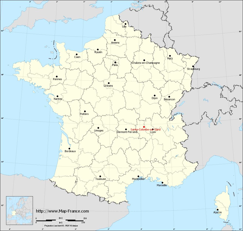
Map of Sainte-Colombe-sur-Gand with regions and prefectures
|
View the map of Sainte-Colombe-sur-Gand in full screen (1000 x 949)
|
You will find the location of Sainte-Colombe-sur-Gand on the map of France of regions in Lambert 93 coordinates. The town of Sainte-Colombe-sur-Gand is located in the department of Loire of the french region Rhône-Alpes.
Geographical sexagesimal coordinates / GPS (WGS84):
Latitude: 45° 52' 44'' North
Longitude: 04° 16' 30'' East
Geographical decimal coordinates :
Latitude: 45.88 degrees (45.88° North)
Longitude: 4.276 degrees (4.276° East)
Lambert 93 coordinates :
X: 7 989 hectometers
Y: 65 318 hectometers
Lambert 2 coordinates :
X: 7 505 hectometers
Y: 20 995 hectometers
Below, the geographical coordinates of Saint-Étienne, prefecture of the Loire department:
Geographical sexagesimal coordinates / GPS (WGS84):
Latitude: 45° 26' 02'' North
Longitude: 04° 23' 23'' East
Geographical decimal coordinates :
Latitude: 45.441 degrees (45.441° North)
Longitude: 4.39 degrees (4.39° East)
Lambert 93 coordinates :
X: 8 086 hectometers
Y: 64 825 hectometers
Lambert 2 coordinates :
X: 7 607 hectometers
Y: 20 502 hectometers
|
This map of Sainte-Colombe-sur-Gand is reusable and modifiable by making a link to this page of the Map-France.com website or by using the given code :
|
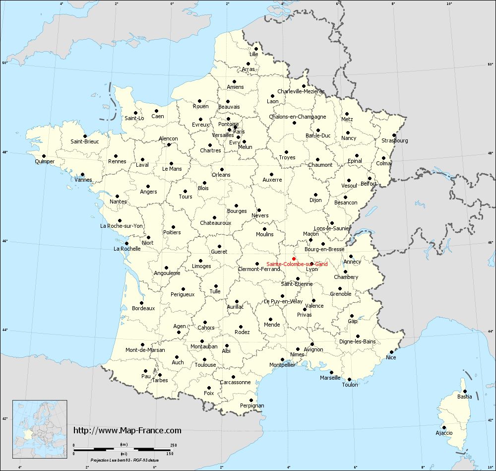
Map of Sainte-Colombe-sur-Gand with departments and prefectures
|
Voir la carte of Sainte-Colombe-sur-Gand en grand format (1000 x 949)
|
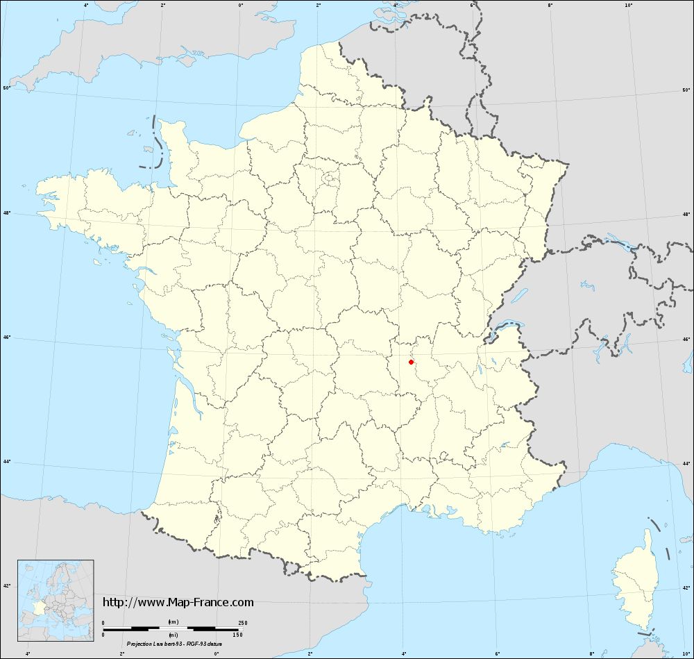
Here is the localization of Sainte-Colombe-sur-Gand on the France map of departments in Lambert 93 coordinates. The city of Sainte-Colombe-sur-Gand is shown on the map by a red point.
The town of Sainte-Colombe-sur-Gand is located in the department of Loire of the french region Rhône-Alpes.
The latitude of Sainte-Colombe-sur-Gand is 45.88 degrees North.
The longitude of Sainte-Colombe-sur-Gand is 4.276 degrees East.
Here the distance between Sainte-Colombe-sur-Gand and the biggest cities of France:
Distances are calculated as the crow flies (orthodromic distance)
Distance between Sainte-Colombe-sur-Gand and Paris : 361.62 kilometers
Distance between Sainte-Colombe-sur-Gand and Marseille : 300.36 kilometers
Distance between Sainte-Colombe-sur-Gand and Lyon : 45.3 kilometers
Distance between Sainte-Colombe-sur-Gand and Toulouse : 337.4 kilometers
Distance between Sainte-Colombe-sur-Gand and Nice : 337.26 kilometers
Distance between Sainte-Colombe-sur-Gand and Nantes : 469.5 kilometers
Distance between Sainte-Colombe-sur-Gand and Strasbourg : 398.97 kilometers
Distance between Sainte-Colombe-sur-Gand and Montpellier : 254.28 kilometers
Distance between Sainte-Colombe-sur-Gand and Bordeaux : 395.72 kilometers
Distance between Sainte-Colombe-sur-Gand and Lille : 535.35 kilometers
Distance between Sainte-Colombe-sur-Gand and Rennes : 514.58 kilometers
Distance between Sainte-Colombe-sur-Gand and Reims : 375.8 kilometers
Clic here to see the map of Sainte-Colombe-sur-Gand in full screen:
Sainte-Colombe-sur-Gand on the map of french departments
|
This administrative map of Sainte-Colombe-sur-Gand is reusable and modifiable by making a link to this page of the Map-France.com website or by using the given code :
|
Administrative base maps of Sainte-Colombe-sur-Gand
|
See the administrative base map of Sainte-Colombe-sur-Gand in full screen (1000 x 949)
|
Small administrative base map of Sainte-Colombe-sur-Gand
|
This base map administrative of Sainte-Colombe-sur-Gand is reusable and modifiable by making a link to this page of the Map-France.com website or by using the given code :
|
 French Version : http://www.cartesfrance.fr