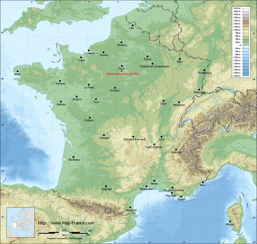
Sainte-Geneviève-des-Bois on the relief France map in Lambert 93 coordinates
|
See the map of Sainte-Geneviève-des-Bois in full screen (1000 x 949)
|
At left, here is the location of Sainte-Geneviève-des-Bois on the relief France map in Lambert 93 coordinates.
Here are the altitudes of Sainte-Geneviève-des-Bois :
- Town hall altitude of Sainte-Geneviève-des-Bois is 77 meters
- Minimum altitude of Sainte-Geneviève-des-Bois is 37 meters
- Maximum altitude of Sainte-Geneviève-des-Bois is 90 meters
- Medium altitude of Sainte-Geneviève-des-Bois is 64 meters
Here are the altitudes of Évry, prefecture of Essonne department:
- Town hall altitude of Évry is 75 meters
- Minimum altitude of Évry is 32 meters
- Maximum altitude of Évry is 95 meters
- Medium altitude of Évry is 64 meters
Here are the altitudes of the french biggest cities:
Paris : 33 meters
Marseille : 20 meters
Lyon : 237 meters
Toulouse : 146 meters
Nice : 10 meters
Nantes : 20 meters
Strasbourg : 144 meters
Montpellier : 35 meters
Bordeaux : 16 meters
Lille : 20 meters
Rennes : 35 meters
Reims : 83 meters
Click here for the terrain map of Sainte-Geneviève-des-Bois in full screen:
Relief map of Sainte-Geneviève-des-Bois
|
This relief map of Sainte-Geneviève-des-Bois is reusable and modifiable by making a link to this page of the Map-France.com website or by using the given code :
|
Terrain base map of Sainte-Geneviève-des-Bois
|

See the terrain base map of Sainte-Geneviève-des-Bois in full screen (1000 x 949)
|
Small relief base map of Sainte-Geneviève-des-Bois

|
This base map of Sainte-Geneviève-des-Bois is reusable and modifiable by making a link to this page of the Map-France.com website or by using the given code :
|
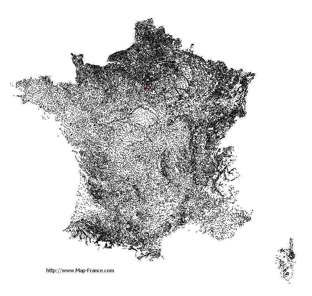
Map of Sainte-Geneviève-des-Bois with regions and prefectures
|
View the map of Sainte-Geneviève-des-Bois in full screen (1000 x 949)
|
You will find the location of Sainte-Geneviève-des-Bois on the map of France of regions in Lambert 93 coordinates. The city of Sainte-Geneviève-des-Bois is located in the department of Essonne of the french region Île-de-France.
Geographical sexagesimal coordinates / GPS (WGS84):
Latitude: 48° 38' 16'' North
Longitude: 02° 19' 56'' East
Geographical decimal coordinates :
Latitude: 48.649 degrees (48.649° North)
Longitude: 2.325 degrees (2.325° East)
Lambert 93 coordinates :
X: 6 508 hectometers
Y: 68 377 hectometers
Lambert 2 coordinates :
X: 5 997 hectometers
Y: 24 044 hectometers
Below, the geographical coordinates of Évry, prefecture of the Essonne department:
Geographical sexagesimal coordinates / GPS (WGS84):
Latitude: 48° 38' 02'' North
Longitude: 02° 26' 39'' East
Geographical decimal coordinates :
Latitude: 48.636 degrees (48.636° North)
Longitude: 2.443 degrees (2.443° East)
Lambert 93 coordinates :
X: 6 590 hectometers
Y: 68 372 hectometers
Lambert 2 coordinates :
X: 6 079 hectometers
Y: 24 039 hectometers
|
This map of Sainte-Geneviève-des-Bois is reusable and modifiable by making a link to this page of the Map-France.com website or by using the given code :
|
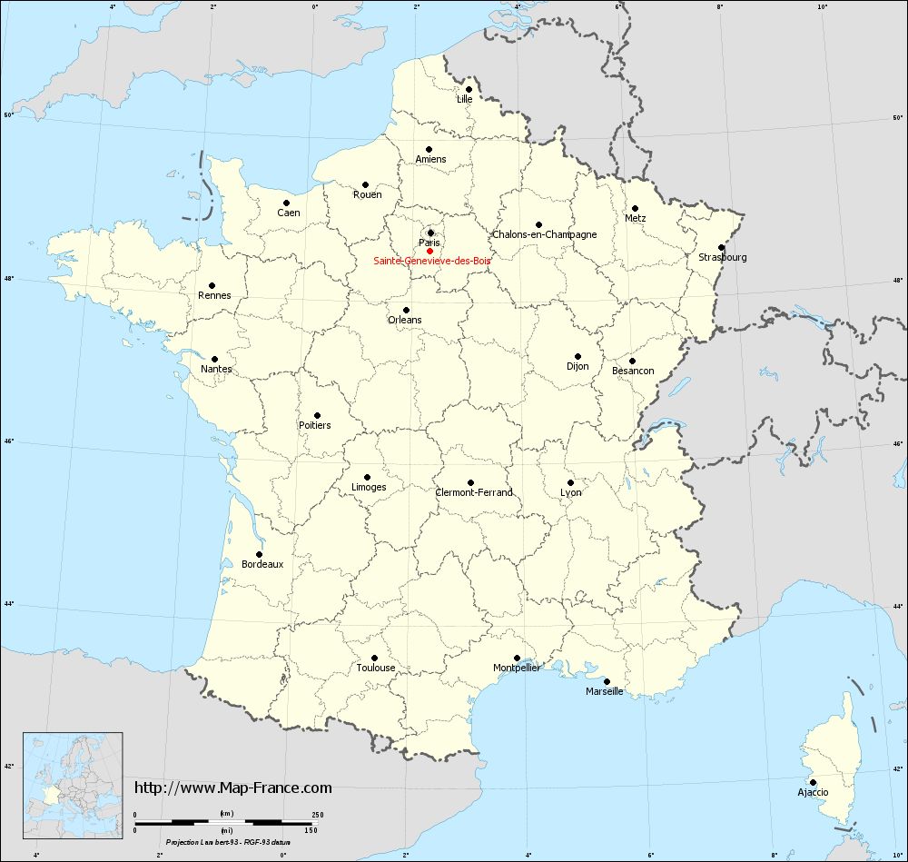
Map of Sainte-Geneviève-des-Bois with departments and prefectures
|
Voir la carte of Sainte-Geneviève-des-Bois en grand format (1000 x 949)
|
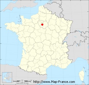
Here is the localization of Sainte-Geneviève-des-Bois on the France map of departments in Lambert 93 coordinates. The city of Sainte-Geneviève-des-Bois is shown on the map by a red point.
The city of Sainte-Geneviève-des-Bois is located in the department of Essonne of the french region Île-de-France.
The latitude of Sainte-Geneviève-des-Bois is 48.649 degrees North.
The longitude of Sainte-Geneviève-des-Bois is 2.325 degrees East.
Here the distance between Sainte-Geneviève-des-Bois and the biggest cities of France:
Distances are calculated as the crow flies (orthodromic distance)
Distance between Sainte-Geneviève-des-Bois and Paris : 23.53 kilometers
Distance between Sainte-Geneviève-des-Bois and Marseille : 640.14 kilometers
Distance between Sainte-Geneviève-des-Bois and Lyon : 372.74 kilometers
Distance between Sainte-Geneviève-des-Bois and Toulouse : 565.05 kilometers
Distance between Sainte-Geneviève-des-Bois and Nice : 667.46 kilometers
Distance between Sainte-Geneviève-des-Bois and Nantes : 329.52 kilometers
Distance between Sainte-Geneviève-des-Bois and Strasbourg : 398.88 kilometers
Distance between Sainte-Geneviève-des-Bois and Montpellier : 572.57 kilometers
Distance between Sainte-Geneviève-des-Bois and Bordeaux : 476.99 kilometers
Distance between Sainte-Geneviève-des-Bois and Lille : 225.85 kilometers
Distance between Sainte-Geneviève-des-Bois and Rennes : 301.6 kilometers
Distance between Sainte-Geneviève-des-Bois and Reims : 141.67 kilometers
Clic here to see the map of Sainte-Geneviève-des-Bois in full screen:
Sainte-Geneviève-des-Bois on the map of french departments
|
This administrative map of Sainte-Geneviève-des-Bois is reusable and modifiable by making a link to this page of the Map-France.com website or by using the given code :
|
Administrative base maps of Sainte-Geneviève-des-Bois
|

See the administrative base map of Sainte-Geneviève-des-Bois in full screen (1000 x 949)
|
Small administrative base map of Sainte-Geneviève-des-Bois
|
This base map administrative of Sainte-Geneviève-des-Bois is reusable and modifiable by making a link to this page of the Map-France.com website or by using the given code :
|
 French Version : http://www.cartesfrance.fr