|
The village of Sainte-Hélène is a small village located north east of France. The town of Sainte-Hélène is located in the department of Vosges of the french region Lorraine. The town of Sainte-Hélène is located in the township of Bruyères part of the district of Épinal. The area code for Sainte-Hélène is 88418 (also known as code INSEE), and the Sainte-Hélène zip code is 88700.
Geography and map of Sainte-Hélène :
The altitude of the city hall of Sainte-Hélène is approximately 320 meters. The Sainte-Hélène surface is 17.05 km ². The latitude and longitude of Sainte-Hélène are 48.291 degrees North and 6.656 degrees East.
Nearby cities and towns of Sainte-Hélène are :
Autrey (88700) at 2.59 km, Pierrepont-sur-l'Arentèle (88600) at 2.98 km, Fremifontaine (88600) at 3.09 km, Destord (88600) at 3.34 km, Nonzeville (88600) at 3.42 km, Saint-Gorgon (88700) at 3.59 km, Vomécourt (88700) at 3.74 km, Bult (88700) at 3.85 km.
(The distances to these nearby towns of Sainte-Hélène are calculated as the crow flies)
Population and housing of Sainte-Hélène :
The population of Sainte-Hélène was 446 in 1999, 456 in 2006 and 458 in 2007. The population density of Sainte-Hélène is 26.86 inhabitants per km². The number of housing of Sainte-Hélène was 209 in 2007. These homes of Sainte-Hélène consist of 185 main residences, 18 second or occasional homes and 6 vacant homes. |
|
|
Hotel Sainte-Hélène
|
|
|
Book now ! Best Price Guaranteed, no booking fees, pay at the hotel with our partner Booking.com, leader in online hotel reservation.
Find all hotels of Sainte-Hélène : Hotel Sainte-Hélène
| |
|
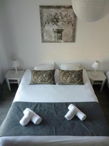
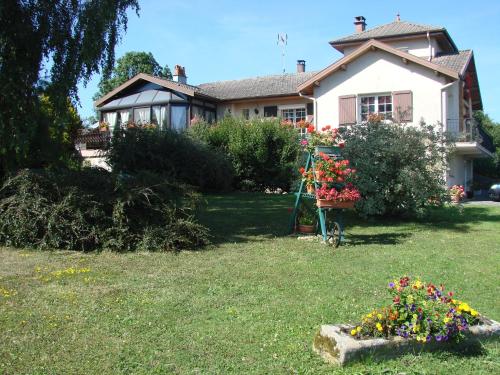
Bed and Breakfast : Chambres d'hôtes CLAUDEL Marie-Noelle
Chambres d'hôtes CLAUDEL Marie-Noelle is located in Destord. Featuring a large garden and a terrace, the guest house has uniquely-decorated rooms with private bathroom and a fla...
Rate : from 60.00 €
Address : 935 route de Rambervillers 88600 Destord
Distance Bed and Breakfast - Sainte-Hélène : 2.78 km
|
|
|
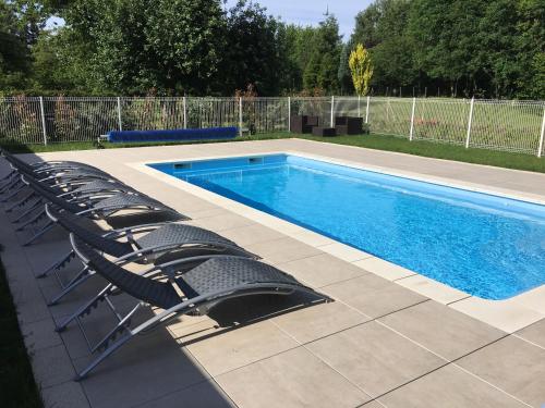
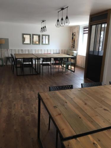
Guest accommodation : Domaine du parc

Situated in Grandvillers, Domaine du parc features free WiFi and units fitted with a kitchen. Fitted with a terrace, the units feature a flat-screen TV and a private bathroom w...
Price : from 80.00 €
to 90.00 €
Contact : 5 route de bruyeres 88600 Grandvillers
Distance Guest accommodation - Sainte-Hélène : 5.84 km
|
|
|
Hotel : Hotel Restaurant l'Ecrin
Situated in Grandvillers in the Lorraine Region, 25 km from Gérardmer, Hotel Restaurant l'Ecrin boasts a terrace and sun terrace. Free WiFi is provided throughout the property a...
Prices : from 68.00 €
to 150.00 €
Contact : 3-4 Route de Bruyères 88600 Grandvillers
Distance Hotel - Sainte-Hélène : 5.85 km
|
|
|
Hotel : Le P'tit Bouchon
Situated in Rambervillers, Le P'tit Bouchon offers a garden and free WiFi. With a terrace, the property also has a bar. The hotel features a French restaurant. The units in the...
Rate : from 52.00 €
to 62.00 €
Contact : 34 Faubourg de la Chipotte 88700 Rambervillers
Distance Hotel - Sainte-Hélène : 5.99 km
|
|
|
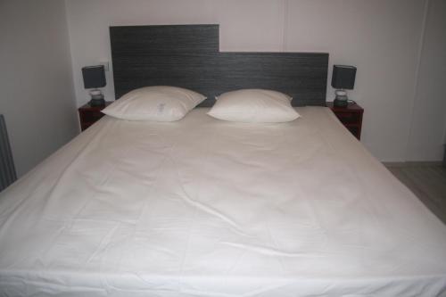
Bed and Breakfast : Vosges Chambres d'hotes
Vosges Chambres d’hôtes is 2 km from the centre of Jeanménil and a 10-minute drive from Rambervillers. It offers free WiFi access, a terrace and a garden. All the colourful roo...
Price : from 60.00 €
Address : 43 rue de la haye Baneau la Richette 88700 Jeanménil
Distance Bed and Breakfast - Sainte-Hélène : 6.60 km
|
|
|
Guest accommodation : Les Hauts Jardins
Offering free WiFi and garden views, Les Hauts Jardins is an accommodation set in Brouvelieures. This holiday home offers a spa & wellness centre as well as barbecue facilities....
Contact : 7 Rue de L Hôtel de ville 88600 Brouvelieures
Distance Guest accommodation - Sainte-Hélène : 8.33 km
|
|
|
Bed and Breakfast : Aux Coeurs De Marie
This B&B is 14 km from Épinal city centre and an 8-minute walk from the centre of Sercoeur. It offers en suite accommodation, a garden with outdoor furniture and a communal seat...
Rate : from 62.00 €
Contact : 100 Route de Châtel 88600 Sercoeur
Distance Bed and Breakfast - Sainte-Hélène : 9.53 km
|
|
|
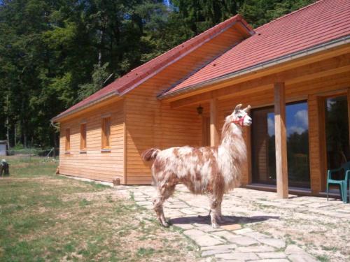
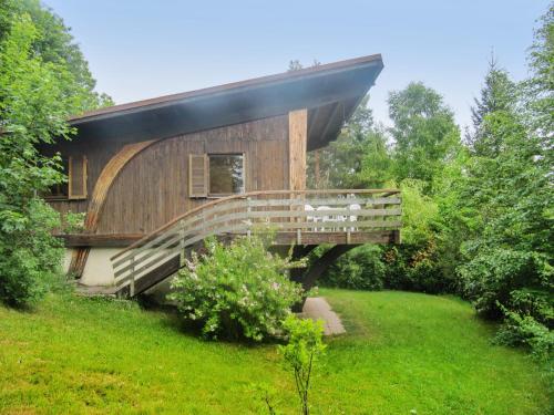
Guest accommodation : Chalet Rue du Tinturon
Chalet Rue du Tinturon is set in Fays and offers barbecue facilities. The chalet features garden views and is 26 km from Gérardmer. This chalet features a living room and a ful...
Contact : 235 Rue du Tinturon 88600 Fays
Distance Guest accommodation - Sainte-Hélène : 10.40 km
|
|
|
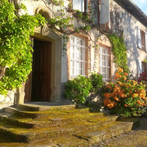
Bed and Breakfast : Le Prieuré
Located in Aydoilles, Le Prieuré offers accommodation with a seating area and flat-screen TV. Free WiFi is featured. All units are equipped with a dishwasher, oven, a coffee ma...
Prices : from 70.00 €
to 95.00 €
Address : Le Prieuré 2 Rue de la Mairie 88600 Aydoilles
Distance Bed and Breakfast - Sainte-Hélène : 11.02 km
|
|
|
Guest accommodation : Auberge de la Cholotte

Located in a natural setting, just 1 km from Les Rouges-Eaux, Auberge de la Cholotte is surrounded by a flowered garden with a pond. You can relax on the terrace, by the garden,...
Rate : from 73.50 €
to 105.00 €
Contact : Les Rouges-Eaux 88600 Les Rouges-Eaux
Distance Guest accommodation - Sainte-Hélène : 11.69 km
|
|
Find another hotel near Sainte-Hélène : Sainte-Hélène hotels list
|
Map of Sainte-Hélène
|
|
Map of Sainte-Hélène :
At right you can find the localization of Sainte-Hélène on the map of France. Below, this is the satellite map of Sainte-Hélène. A road map, and maps templates of Sainte-Hélène are available here : "road map of Sainte-Hélène". This map show Sainte-Hélène seen by the satellite of Google Map. To see the streets of Sainte-Hélène or move on another zone, use the buttons "zoom" and "map" on top of this dynamic map.
Search on the map of Sainte-Hélène :
To search hotels, housings, tourist information office, administrations or other services, use the Google search integrated to the map on the following page : "map Sainte-Hélène".
Hotels of Sainte-Hélène are listed on the map with the following icons: 
The map of Sainte-Hélène is centred in the following coordinates :
|

|
|
|
|
Print the map of Sainte-Hélène

Print the map of Sainte-Hélène : map of Sainte-Hélène
|
Photos Sainte-Hélène
|
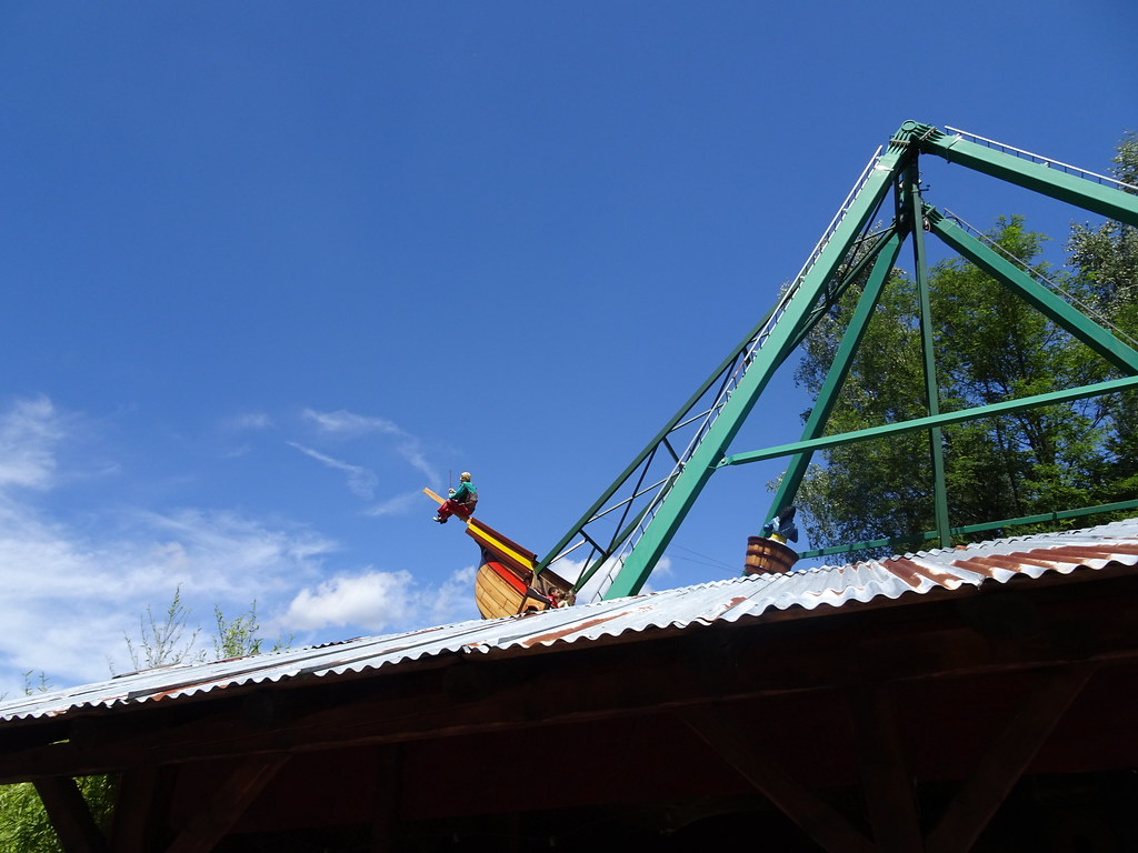
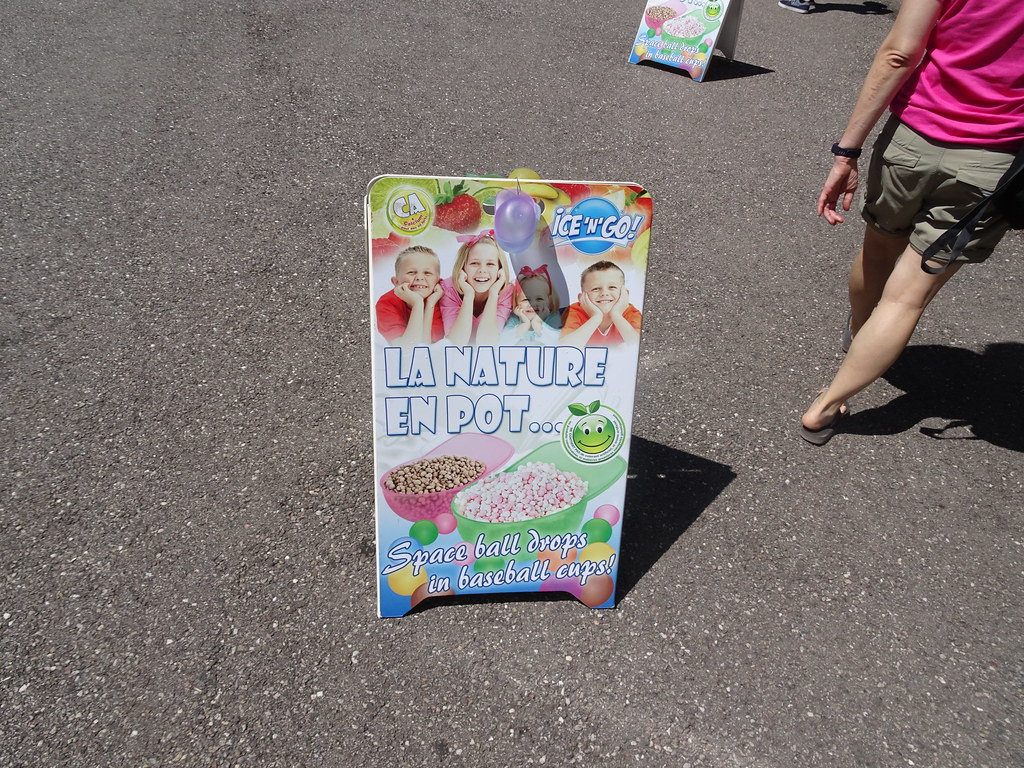
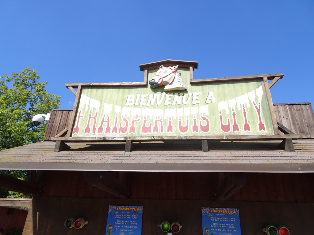
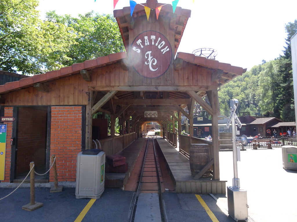
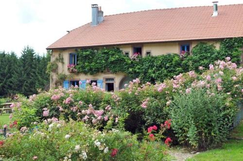
See all photos of Sainte-Hélène :
Other photos of Sainte-Hélène and nearby towns can be found here: photos Sainte-Hélène
|
|
Sainte-Hélène weather forecast
Find next hours and 7 days weather forecast for Sainte-Hélène here : weather Sainte-Hélène (with english metrics)
This is the last weather forecast for Sainte-Hélène collected by the nearest observation station of Bruyères.
Week Forecast:
The latest weather data for Sainte-Hélène were collected Friday, 31 July 2026 at 19:06 from the nearest observation station of Bruyères.
| Friday, July 31st |
31°C 18°C
60%
66%
|
Rain
Temperature Max: 31°C Temperature Min: 18°C
Precipitation Probability: 60% (Rain)
Percentage of sky occluded by clouds: 66%
Wind speed: 11 km/h North-East
Humidity: 48%° UV Index: 5
Sunrise: 06:07 Sunset: 21:11 |
|
| | Saturday, August 1st |
27°C 17°C
86%
65%
|
Rain
Temperature Max: 27°C Temperature Min: 17°C
Precipitation Probability: 86% (Rain)
Percentage of sky occluded by clouds: 65%
Wind speed: 6 km/h South-East
Humidity: 66%° UV Index: 6
Sunrise: 06:08 Sunset: 21:09 |
|
| | Sunday, August 2nd |
30°C 16°C
15%
37%
|
Mostly clear
Temperature Max: 30°C Temperature Min: 16°C
Precipitation Probability: 15% (Rain)
Percentage of sky occluded by clouds: 37%
Wind speed: 3 km/h Sout-East
Humidity: 52%° UV Index: 6
Sunrise: 06:09 Sunset: 21:08 |
|
| | Monday, August 3rd |
33°C 17°C
44%
44%
|
Drizzle
Temperature Max: 33°C Temperature Min: 17°C
Precipitation Probability: 44% (Rain)
Percentage of sky occluded by clouds: 44%
Wind speed: 9 km/h North-East
Humidity: 45%° UV Index: 7
Sunrise: 06:11 Sunset: 21:06 |
|
|
Attribution: 
|
|
Other maps, hotels and towns in france
Find another town, zip code, department, region, ...
Quick links Sainte-Hélène :
Make a link to this page of Sainte-Hélène with the following code :
|
|
|
 French Version : http://www.cartesfrance.fr/carte-france-ville/88418_Sainte-Helene.html