Map of France

Sainte-Marie-aux-Chênes photos


Find a town, a zip code,
a department, a region... in France
I like Map-France.com !


Sainte-Marie-aux-Chênes pictures


Here are the photos of the city of Sainte-Marie-aux-Chênes and nearby towns. Sainte-Marie-aux-Chênes is located in the department of Moselle in the region of Lorraine. You will find the satellite map of Sainte-Marie-aux-Chênes under these photos.

To see photos of nearby towns of Sainte-Marie-aux-Chênes, you can try the following links :
   - Photo of Saint-Ail (54580) : town located at 1.37 km
   - Photo of Saint-Privat-la-Montagne (57124) : town located at 2.71 km
   - Photo of Auboué (54580) : town located at 2.72 km
   - Photo of Montois-la-Montagne (57860) : town located at 2.90 km
   - Photo of Roncourt (57860) : town located at 2.99 km
   - Photo of Homécourt (54310) : town located at 3.30 km
   - Photo of Batilly (54980) : town located at 3.37 km
   - Photo of Jœuf (54240) : town located at 3.91 km
   - Photo of Amanvillers (57111) : town located at 4.02 km
   - Photo of Moineville (54580) : town located at 4.51 km
   - Photo of Jouaville (54800) : town located at 4.95 km
   - Photo of Vernéville (57130) : town located at 5.06 km

 - photos of the department prefecture of Moselle : photos of Metz
 - pictures of others cities of Moselle : Moselle


To see Sainte-Marie-aux-Chênes from the sky, here is the satellite map of the city of Sainte-Marie-aux-Chênes : Sainte-Marie-aux-Chênes map.

I like Sainte-Marie-aux-Chênes !


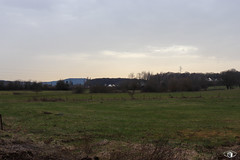
Photos of the city of Sainte-Marie-aux-Chênes

These photos taken near the city of Sainte-Marie-aux-Chênes can be shown in full screen clicking on the thumbnails. Photos are copyrighted by their owners.

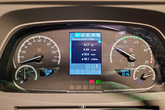
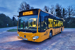
LE MET- / Écran TFT : Mercedes-Benz Citaro G C2 n°2145 - Photo of Sainte-Marie-aux-Chênes
LE MET- / Écran TFT : Mercedes-Benz Citaro G C2 n°2145

Rue de la Malandrie Malancourt - Photo of Sainte-Marie-aux-Chênes
Rue de la Malandrie Malancourt

Rue de la Malandrie Malancourt - Photo of Sainte-Marie-aux-Chênes
Rue de la Malandrie Malancourt

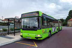
LE MET- / Irisbus Agora S n°0402 - Photo of Sainte-Marie-aux-Chênes
LE MET- / Irisbus Agora S n°0402

Rue Xavier Roussel/Chemin de Woicon - Photo of Sainte-Marie-aux-Chênes
Rue Xavier Roussel/Chemin de Woicon

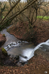
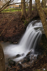
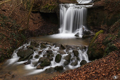
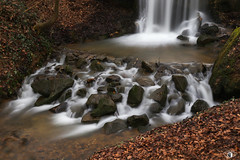
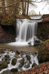
Cascade Dagobert - Rue de Briey - Photo of Sainte-Marie-aux-Chênes
Cascade Dagobert - Rue de Briey

Cascade Dagobert - Rue de Briey - Photo of Sainte-Marie-aux-Chênes
Cascade Dagobert - Rue de Briey

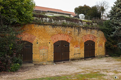
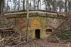
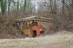
Casemate - Grand Rue - Photo of Sainte-Marie-aux-Chênes
Casemate - Grand Rue

Casemate - Forêt de Plappeville - Photo of Sainte-Marie-aux-Chênes
Casemate - Forêt de Plappeville

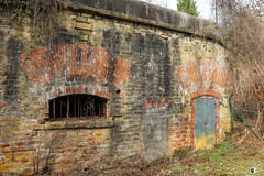
Fort de Plappeville/Feste Alvensleben - Forêt de Plappeville - Photo of Sainte-Marie-aux-Chênes
Fort de Plappeville/Feste Alvensleben - Forêt de Plappeville

Casemate - Forêt de Plappeville - Photo of Sainte-Marie-aux-Chênes
Casemate - Forêt de Plappeville

Fort de Plappeville/Feste Alvensleben - Forêt de Plappeville - Photo of Sainte-Marie-aux-Chênes
Fort de Plappeville/Feste Alvensleben - Forêt de Plappeville

Fort de Plappeville/Feste Alvensleben - Forêt de Plappeville - Photo of Sainte-Marie-aux-Chênes
Fort de Plappeville/Feste Alvensleben - Forêt de Plappeville

Cascade Dagobert - Rue de Briey - Photo of Sainte-Marie-aux-Chênes
Cascade Dagobert - Rue de Briey


Sainte-Marie-aux-Chênes from the sky


Old photos of the city of Sainte-Marie-aux-Chênes

These photos taken near the city of Sainte-Marie-aux-Chênes can be shown in full screen clicking on the thumbnails. Photos are copyrighted by their owners.


Other maps, hotels and towns in france


Find another town, zip code, department, region, ...


Quick links Sainte-Marie-aux-Chênes :


Back to the menus Map of France :


Make a link to this page of Sainte-Marie-aux-Chênes with the following code :


Map of France | Regions | Departments | Cities | Partners | Terms | Contact