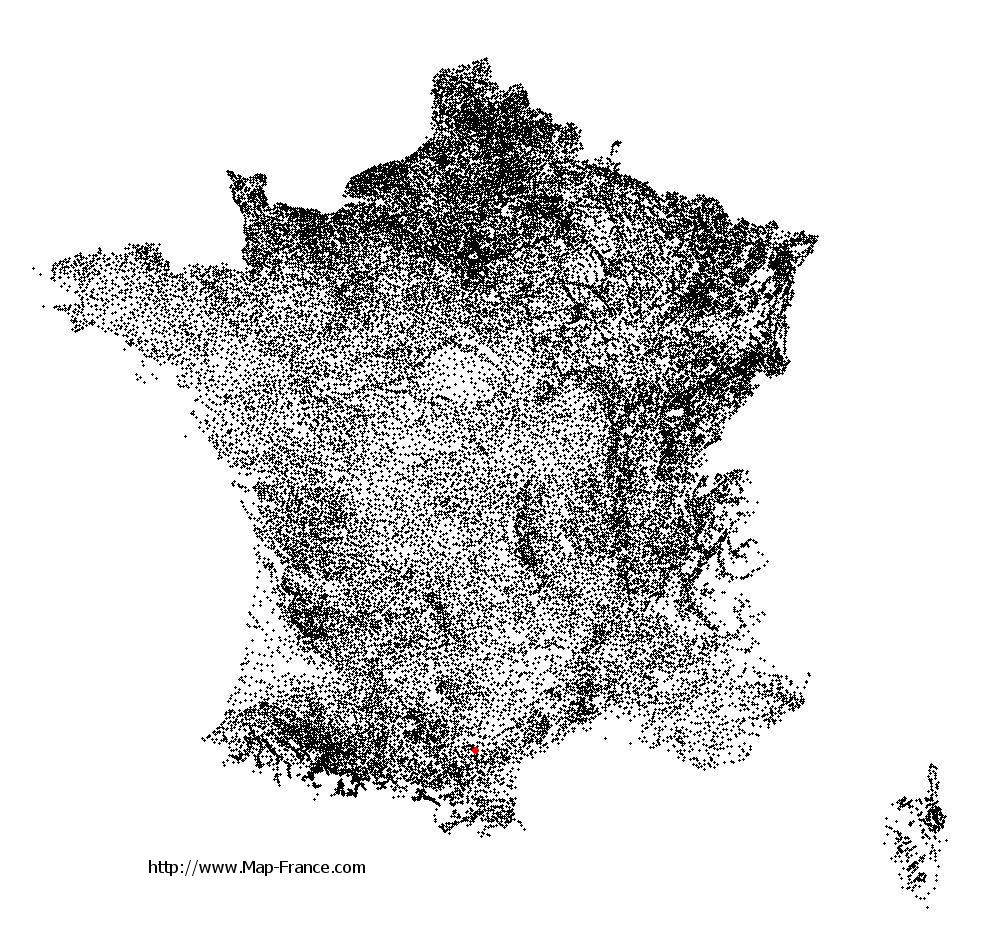
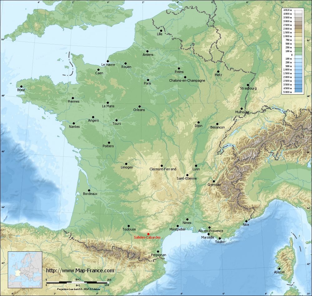
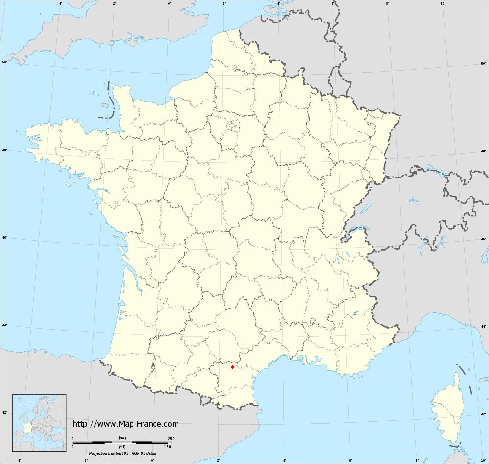
Sallèles-Cabardès on the relief France map in Lambert 93 coordinates
|
See the map of Sallèles-Cabardès in full screen (1000 x 949)
|
At left, here is the location of Sallèles-Cabardès on the relief France map in Lambert 93 coordinates.
Here are the altitudes of Sallèles-Cabardès :
- Town hall altitude of Sallèles-Cabardès is 270 meters
- Minimum altitude of Sallèles-Cabardès is 147 meters
- Maximum altitude of Sallèles-Cabardès is 480 meters
- Medium altitude of Sallèles-Cabardès is 314 meters
Here are the altitudes of Carcassonne, prefecture of Aude department:
- Town hall altitude of Carcassonne is 110 meters
- Minimum altitude of Carcassonne is 81 meters
- Maximum altitude of Carcassonne is 250 meters
- Medium altitude of Carcassonne is 166 meters
Here are the altitudes of the french biggest cities:
Paris : 33 meters
Marseille : 20 meters
Lyon : 237 meters
Toulouse : 146 meters
Nice : 10 meters
Nantes : 20 meters
Strasbourg : 144 meters
Montpellier : 35 meters
Bordeaux : 16 meters
Lille : 20 meters
Rennes : 35 meters
Reims : 83 meters
Click here for the terrain map of Sallèles-Cabardès in full screen:
Relief map of Sallèles-Cabardès
|
This relief map of Sallèles-Cabardès is reusable and modifiable by making a link to this page of the Map-France.com website or by using the given code :
|
Terrain base map of Sallèles-Cabardès
|

See the terrain base map of Sallèles-Cabardès in full screen (1000 x 949)
|
Small relief base map of Sallèles-Cabardès
|
This base map of Sallèles-Cabardès is reusable and modifiable by making a link to this page of the Map-France.com website or by using the given code :
|
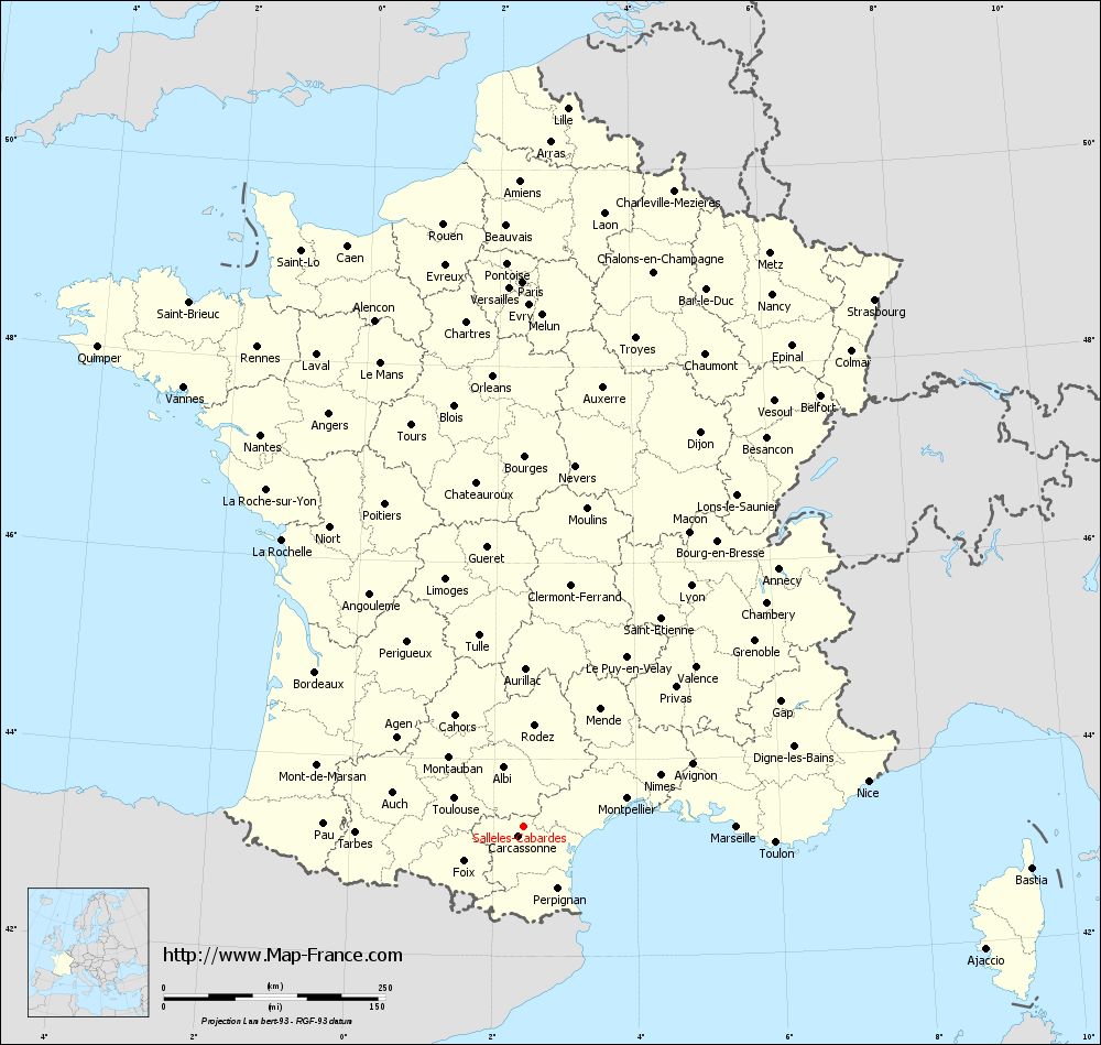
Map of Sallèles-Cabardès with regions and prefectures
|
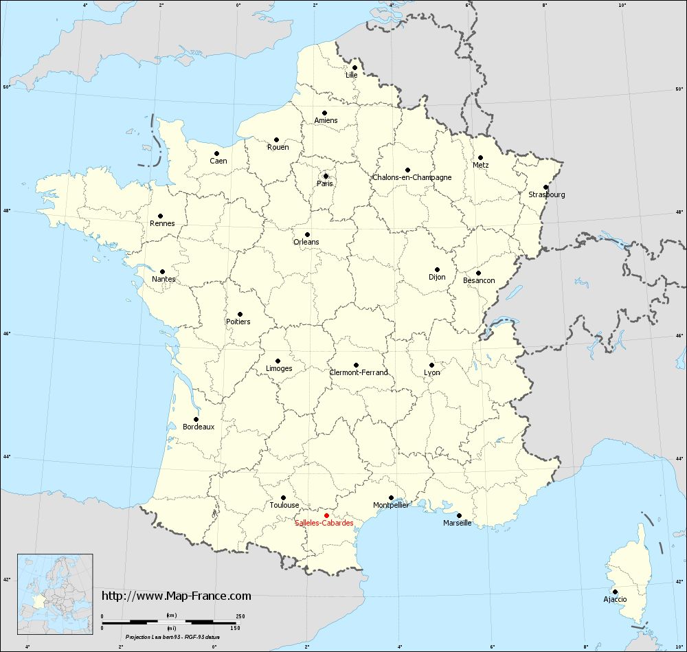
View the map of Sallèles-Cabardès in full screen (1000 x 949)
|
You will find the location of Sallèles-Cabardès on the map of France of regions in Lambert 93 coordinates. The town of Sallèles-Cabardès is located in the department of Aude of the french region Languedoc-Roussillon.
Geographical sexagesimal coordinates / GPS (WGS84):
Latitude: 43° 19' 26'' North
Longitude: 02° 25' 11'' East
Geographical decimal coordinates :
Latitude: 43.324 degrees (43.324° North)
Longitude: 2.419 degrees (2.419° East)
Lambert 93 coordinates :
X: 6 529 hectometers
Y: 62 474 hectometers
Lambert 2 coordinates :
X: 6 068 hectometers
Y: 18 135 hectometers
Below, the geographical coordinates of Carcassonne, prefecture of the Aude department:
Geographical sexagesimal coordinates / GPS (WGS84):
Latitude: 43° 12' 57'' North
Longitude: 02° 21' 05'' East
Geographical decimal coordinates :
Latitude: 43.217 degrees (43.217° North)
Longitude: 2.348 degrees (2.348° East)
Lambert 93 coordinates :
X: 6 473 hectometers
Y: 62 354 hectometers
Lambert 2 coordinates :
X: 6 012 hectometers
Y: 18 015 hectometers
|
This map of Sallèles-Cabardès is reusable and modifiable by making a link to this page of the Map-France.com website or by using the given code :
|
Map of Sallèles-Cabardès with departments and prefectures
|
Voir la carte of Sallèles-Cabardès en grand format (1000 x 949)
|
Here is the localization of Sallèles-Cabardès on the France map of departments in Lambert 93 coordinates. The city of Sallèles-Cabardès is shown on the map by a red point.
The town of Sallèles-Cabardès is located in the department of Aude of the french region Languedoc-Roussillon.
The latitude of Sallèles-Cabardès is 43.324 degrees North.
The longitude of Sallèles-Cabardès is 2.419 degrees East.
Here the distance between Sallèles-Cabardès and the biggest cities of France:
Distances are calculated as the crow flies (orthodromic distance)
Distance between Sallèles-Cabardès and Paris : 615.15 kilometers
Distance between Sallèles-Cabardès and Marseille : 240.99 kilometers
Distance between Sallèles-Cabardès and Lyon : 331.36 kilometers
Distance between Sallèles-Cabardès and Toulouse : 83.87 kilometers
Distance between Sallèles-Cabardès and Nice : 392.51 kilometers
Distance between Sallèles-Cabardès and Nantes : 532.51 kilometers
Distance between Sallèles-Cabardès and Strasbourg : 714.81 kilometers
Distance between Sallèles-Cabardès and Montpellier : 121.55 kilometers
Distance between Sallèles-Cabardès and Bordeaux : 292.46 kilometers
Distance between Sallèles-Cabardès and Lille : 812.86 kilometers
Distance between Sallèles-Cabardès and Rennes : 619.11 kilometers
Distance between Sallèles-Cabardès and Reims : 670.75 kilometers
Clic here to see the map of Sallèles-Cabardès in full screen:
Sallèles-Cabardès on the map of french departments
|
This administrative map of Sallèles-Cabardès is reusable and modifiable by making a link to this page of the Map-France.com website or by using the given code :
|
Administrative base maps of Sallèles-Cabardès
|
See the administrative base map of Sallèles-Cabardès in full screen (1000 x 949)
|
Small administrative base map of Sallèles-Cabardès
|
This base map administrative of Sallèles-Cabardès is reusable and modifiable by making a link to this page of the Map-France.com website or by using the given code :
|
 French Version : http://www.cartesfrance.fr